British Empire Title

The Westcountry Walker: Hiking Through History

In Search of Tristan and Isolde on a Civil War Battlefield in Cornwall


Coulson's Park, Lostwithiel

In this walk we followed the route of one of the largest battles of the English Civil War, and certainly the largest victory for the Royalist cause of the entire war. We also followed the fascinating story of Tristan and Isolde which, although a work of fiction, very much has its roots in actual history along this particular Fowey valley no less. But in addition to the history, it is a beautiful walk from start to finish. Cornwall rarely disappoints, and this walk is a case in point.

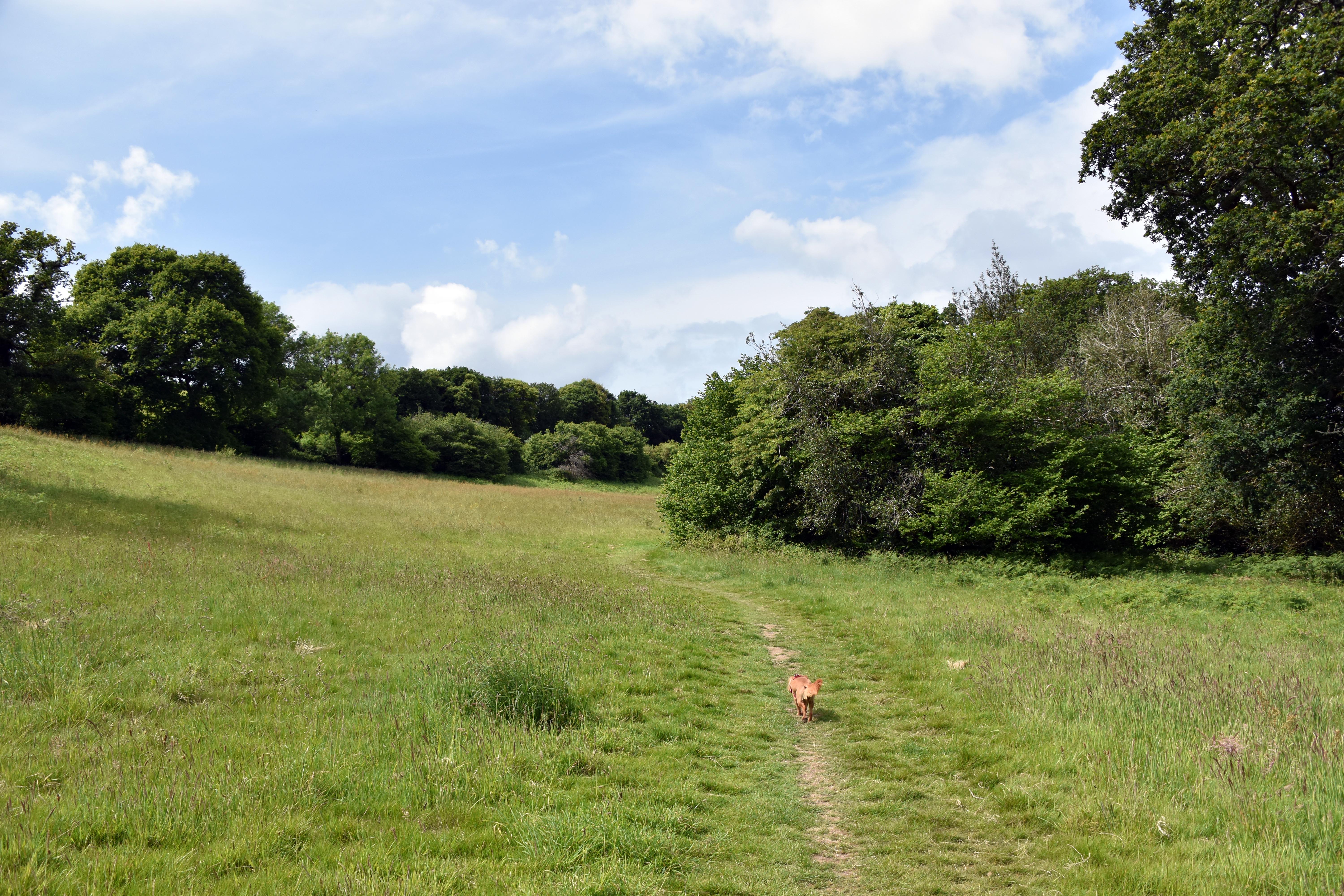
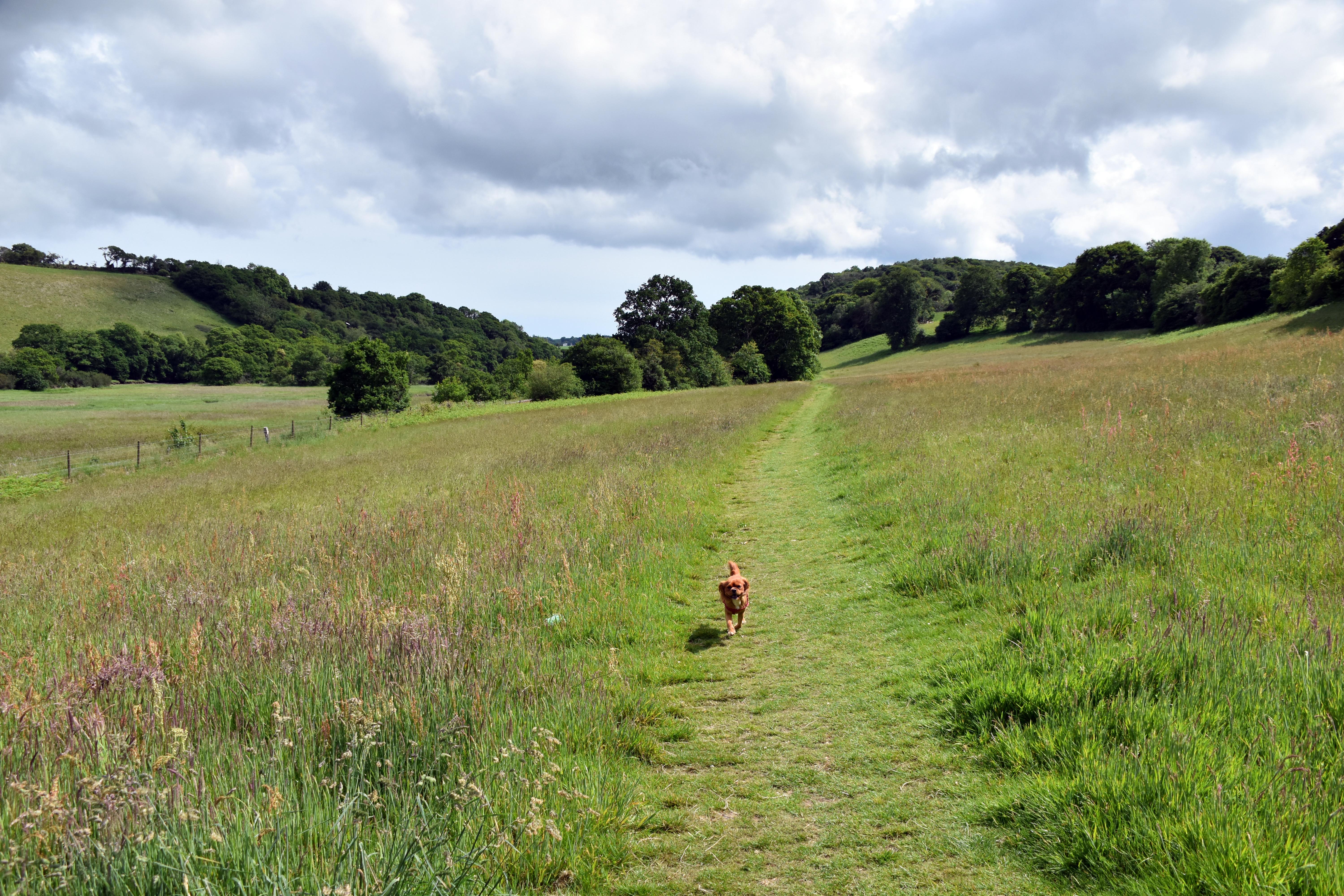
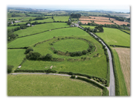
We started off in Lostwithiel, which is fast becoming one of our favourite launchpads for interesting walks in southern Cornwall. It is just slightly off the main tourist beaten track and away from the beaches and coastline, but it and the surrounding area are a fantastic place to explore. For today’s walk we headed south following the River Fowey and then joined the Saints’ Way path. Along the way we bumped into a father and two kids walking our way (we were both hesitant about a route — OS Maps can lie at times, and today was a case in point). They were from Truro and had taken the train to Lostwithiel and were walking back to Par. The young boy could talk for England, but it was lovely seeing them all talk about their history and love of Cornwall. They were excellent company. They carried on along the Saints’ Way path, but Rupert and I veered up the hill in order to head to Castle Dore and walk over some of the immense English Civil War battlefield that stretched all along this valley, but focussed very much on the old Iron Age hillfort at Castle Dore which had been occupied by Parliamentarian soldiers as they withdrew from Lostwithiel to Fowey before the King’s army.
Lostwithiel Campaign

In the summer of 1644 the Earl of Essex had rather overestimated his own strength and underestimated that of his enemy. He marched to Fowey in the belief that he had bottled the King up, not realising that there were not one but two Royalist armies lying in wait for him. Ten thousand Parliamentarians would be cut off by the Royalists capturing Polruan and the entire east bank of the Fowey and, most critically of all, Restormel Castle above Lostwithiel with its commanding views over the town. Realising that he was cut off, he made plans for his cavalry to try and save themselves in a midnight dash whilst he abandoned Lostwithiel and headed to Fowey with the idea of being rescued by the Earl of Warwick’s Parliamentarian navy, although the unseasonably windy weather was not helping make this an easy prospect. Castle Dore was to be Essex’s new focal point where he deployed his artillery and gunpowder. Interestingly, just a few weeks ago when we visited St Andrew’s Church in Halberton we came across the tomb of Colonel John Were, who fell out bitterly with Essex in the aftermath of this battle. John Were was in charge of one of the two infantry regiments defending the approaches to Castle Dore. There was a hard‑fought battle that lasted all day and evening, but eventually Were’s troops began to desert their posts en masse as the sun set, which led to the entire defensive line collapsing and the loss of Castle Dore and its artillery train. Essex fumed and blamed Colonel Were for their defeat. He went so far as to have Colonel Were arrested and sent to the Tower of London, where Colonel Were wrote a detailed defence of his actions. He was later cleared of the accusations and resumed his army career with Fairfax and Cromwell as they reinvaded the Westcountry in 1645. Essex did not help his own cause when, rather than standing with the remains of his army in and around Fowey, he jumped onto a fishing boat in the creek and sailed back to Plymouth with a number of close companions, leaving Major General Skippon to havethe dubious honour of surrendering to the King.

King Charles I was probably at his happiest during the war in this campaign. He camped with his men under canvas and acted very much like a soldier rather than a remote king. It helped that they won, making it the most important and most complete Royalist victory of the war. Having said that, the Parliamentarian cavalry did indeed manage to escape, so it could have been even worse. The King, flush from his victory, was magnanimous to the defeated Parliamentarian soldiers, who were allowed to lay down their arms and march back to Parliamentarian‑controlled Southampton (but definitely not allowed to march back to besieged Plymouth). Had the King been a little more ruthless this could have been an even more significant victory, but as it was, this triumph would be overshadowed by news of defeat at Marston Moor. The Parliamentarians realised after this setback that they had to transform their leadership and professionalise their soldiers. An ambitious training regime was combined with the self‑denying ordinances, which stripped command from well‑meaning if not always able aristocrats like the Earl of Essex (and the Earl of Manchester) and placed it in the hands of professional soldiers who had proved themselves on the field. This was to be the foundation of the New Model Army which in time would provide the nucleus for the British Army as we know it — including the famous redcoats. In many ways the British Army was born in the Fowey Valley.

There was a low cloud base on the day we were walking, with a fine mist. It wasn’t in the slightest bit cold — perfect walking conditions. The farmers were very busy, somewhat complicating some of our footpath requirements along what was the Lostwithiel battlefield. In fact, quite a few of the footpaths were not where they should be according to the map — a lot of latitude was required to get to the castle, and not a little bit of road walking on the quite busy B3269 route to Fowey in order to reach Castle Dore. In fact, the only entrance to the ancient monument is from that road itself. You really would think that Cornwall Council would try to provide better footpaths to and from this very important Cornish monument.
Castle Dore

As mentioned above, Castle Dore also has another claim to fame in addition to its role in the English Civil War — one far older and far more romantic. There has probably been a fortification here for at least two and a half thousand years, from well before Roman times. It has been claimed (a claim much disputed it must be said) that in the 6th century this was the home of Mark of Cornwall, one of the major characters in the Tristan and Isolde story which is very much tied into the Arthurian legends as set forth by Norman writers in the medieval period. Mark was the uncle of Tristan and sent his nephew to Ireland to pick up the beautiful Princess Isolde (sometimes spelt Iseult) and bring her back to Cornwall for a royal marriage. On the boat back to Cornwall, Isolde tried out a magical love potion given to her by her mother to ensure that she would fall in love with her new, much older husband, Mark. Unfortunately, the first person she clapped eyes on after testing it was Tristan — and the two fell madly in love with one another. Uncle Mark was less than impressed, and thus began a whole series of hardships and difficulties for the young couple as their uncle made their lives a misery. He married his reluctant bride, but the love of Tristan and Isolde for one another could not be broken. (There are multiple versions of the story.) Let’s just say that there are banishments, rapes, murders and travails galore — each troubadour might add their own new verse of adversity for the hapless young couple.

Tristan Stone

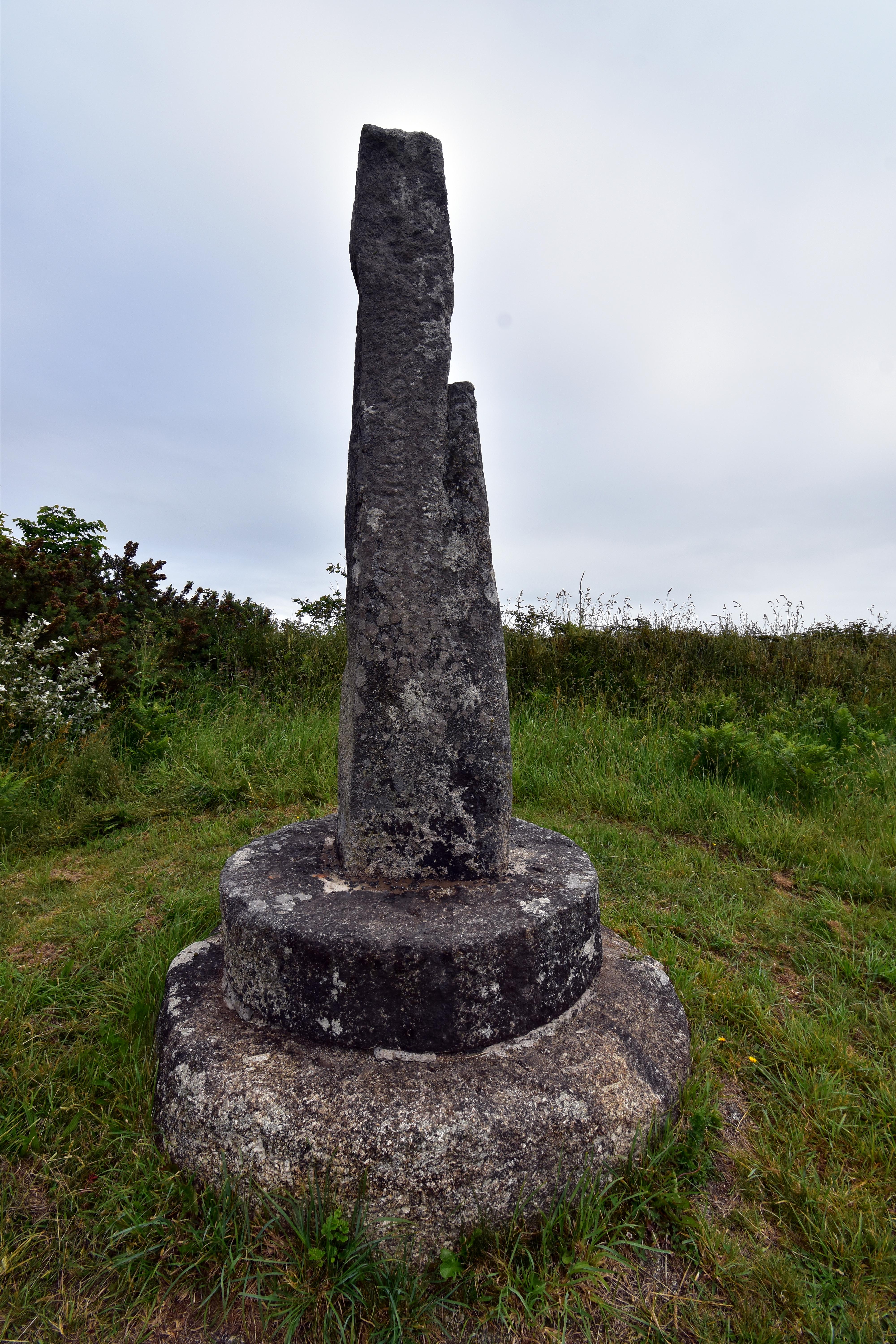
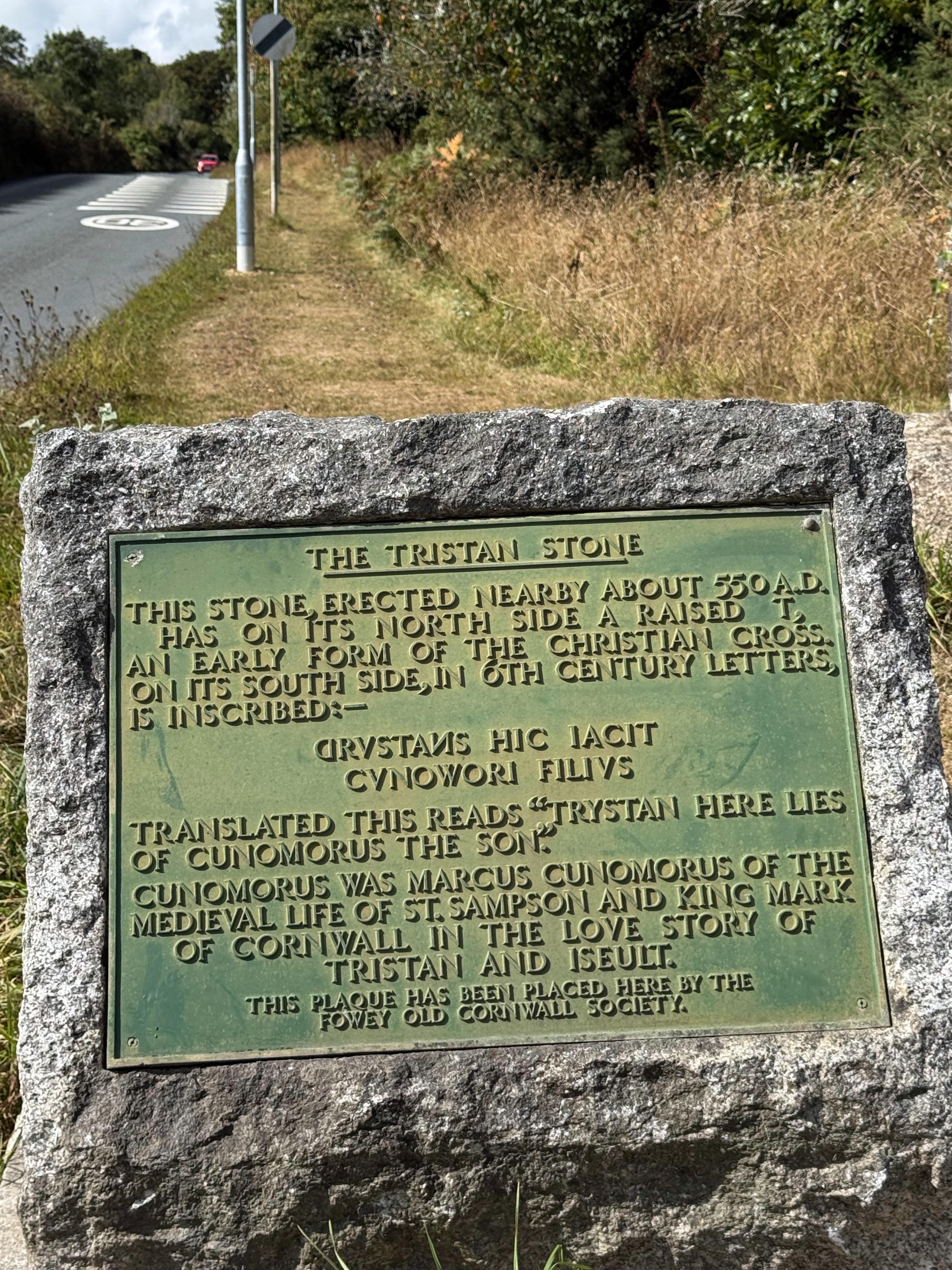
Lest we think this fable is complete fiction, just a couple of miles south of Castle Dore is a standing stone called the Tristan Stone, which was a Christian cross from the 6th century and which mentions both Tristan and his uncle Mark (sadly it is hard to pick out the words now, but they were clear once upon a time). In fact this stone was discovered far closer to Castle Dore than where it is placed now! Although stories like King Arthur and Tristan and Isolde were largely Norman creations, they really did have their basis in actual places, people and history, often from Celtic origins. It is quite interesting how the Normans laid claim to some of these Celtic stories in order to differentiate themselves from their Saxon predecessors and to hint that they themselves might have been returning to the lands from which they were once banished. It is no surprise at all that the story of King Arthur was the most popular of all such legends for the Normans.

After having a look around Castle Dore with its magnificent views up and down the Fowey valley, we walked down the B3269 to reach the Tristan Stone (again, this was not exactly the nicest walk, with pretty fast cars on narrow roads, but definitely the most direct route — and the one with the least change in elevation; our civil engineers know what they are doing when they build these roads). The Tristan Stone was written at least six centuries before the medieval stories of Tristan and Isolde gained currency and also illustrates how Christianity had persevered in Cornwall even after the Romans left England and independently of the Saxon variety of the religion spreading from Kent. There is lots of history along this valley indeed.

We were pretty much in Fowey at this point and so headed back north to find the Saints’ Way and follow that back up the Fowey valley. We had a lovely chat with a local when asking for directions, who had the thickest Cornish accent and could explain how all the old routes had changed and what the area looked like when he was a child. Always lovely to get some primary eyewitness account of the land you are walking through. There was a lovely dog stop for Rupert to enjoy some fresh water and snacks by the old railway line at Hillhay. Rupert was very impressed indeed.

St Sampson's Golant

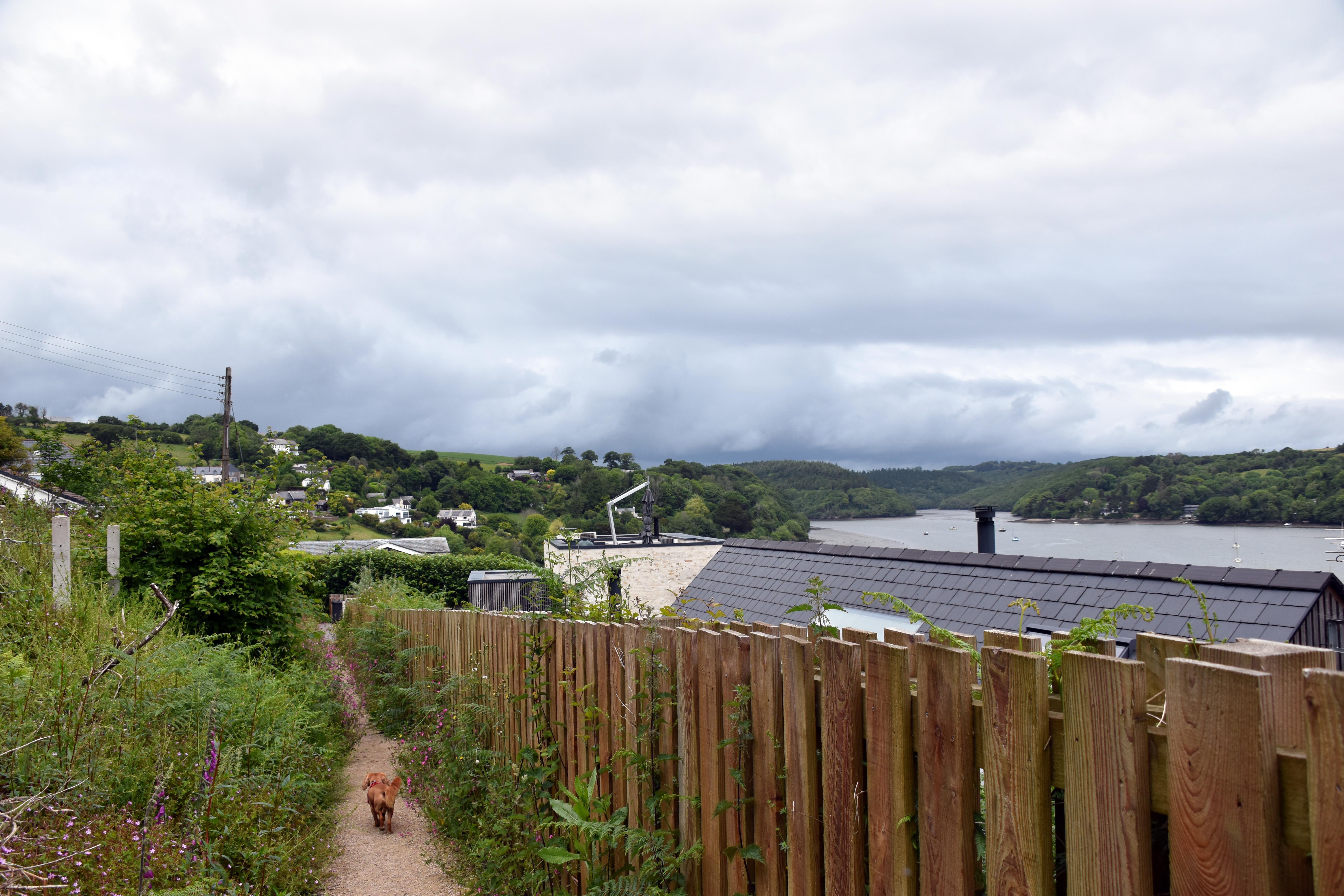
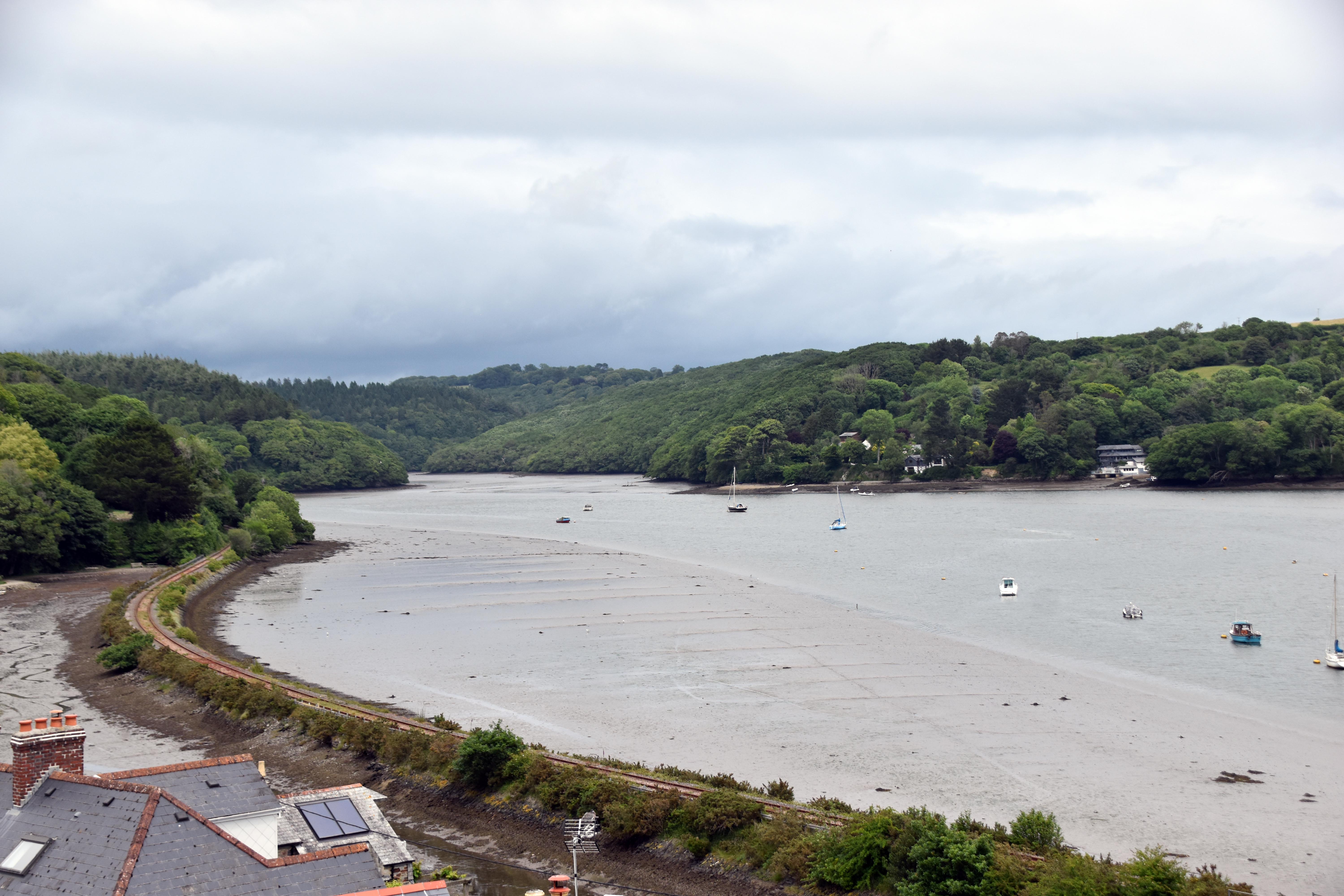
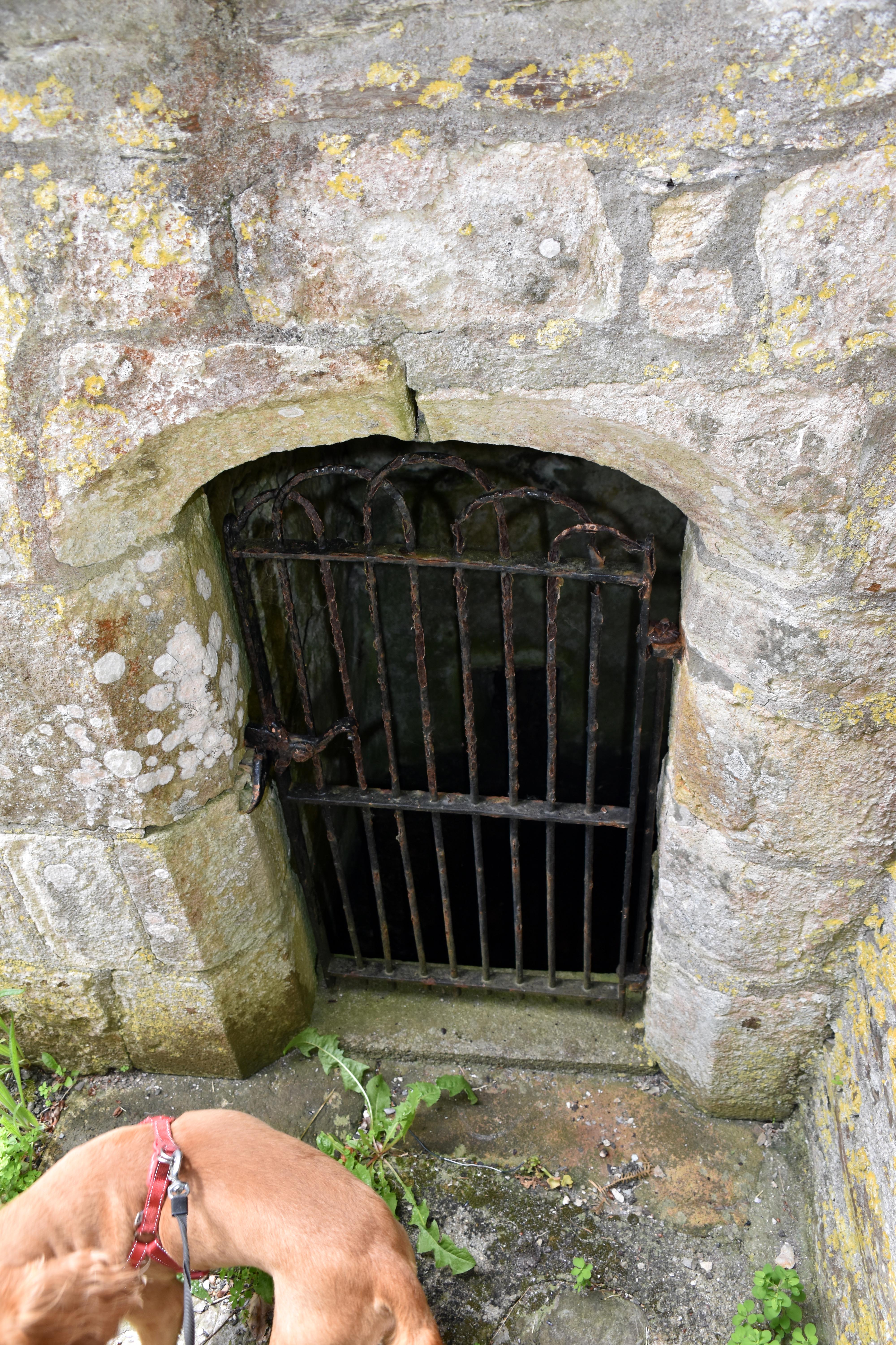
It was a delightful walk up to Golant, although with some pretty steep valleys to overcome — although in return for this hard work we were rewarded with beautiful views out across the River Fowey and up Penpoll Creek. Now, Golant has a beautiful church called St Sampson’s at the top of another valley (the Golant villagers must have been fit to walk up there every Sunday). There is a lovely Tristan and Isolde inscription on the entrance gates hinting at its importance to the story. It is thought that if Isolde was married to Mark anywhere, it would have been in the church that stood on this spot before the Norman castle was expanded upon it. There is a holy well that is still attached to the church to this day.
Tristan Stone

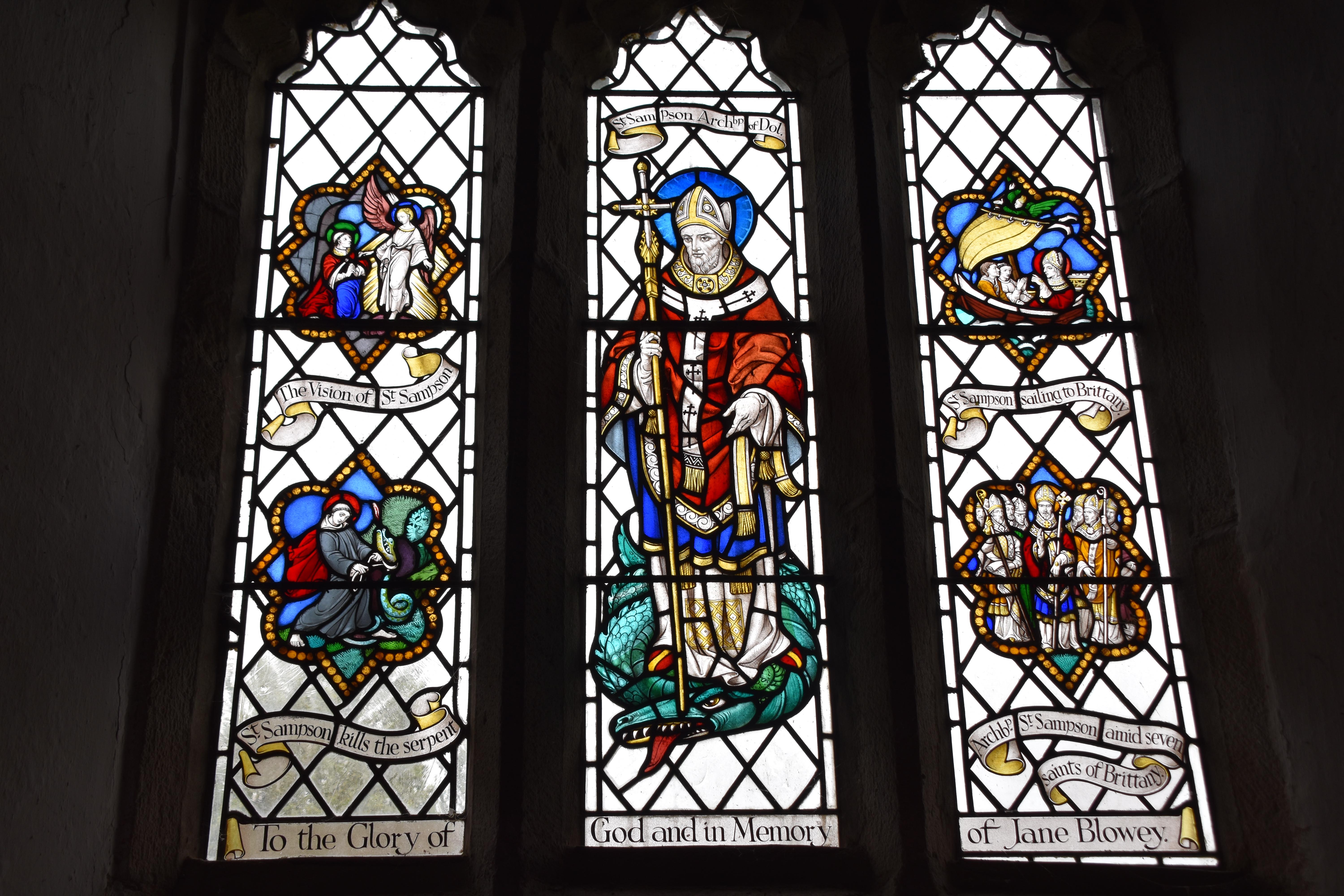
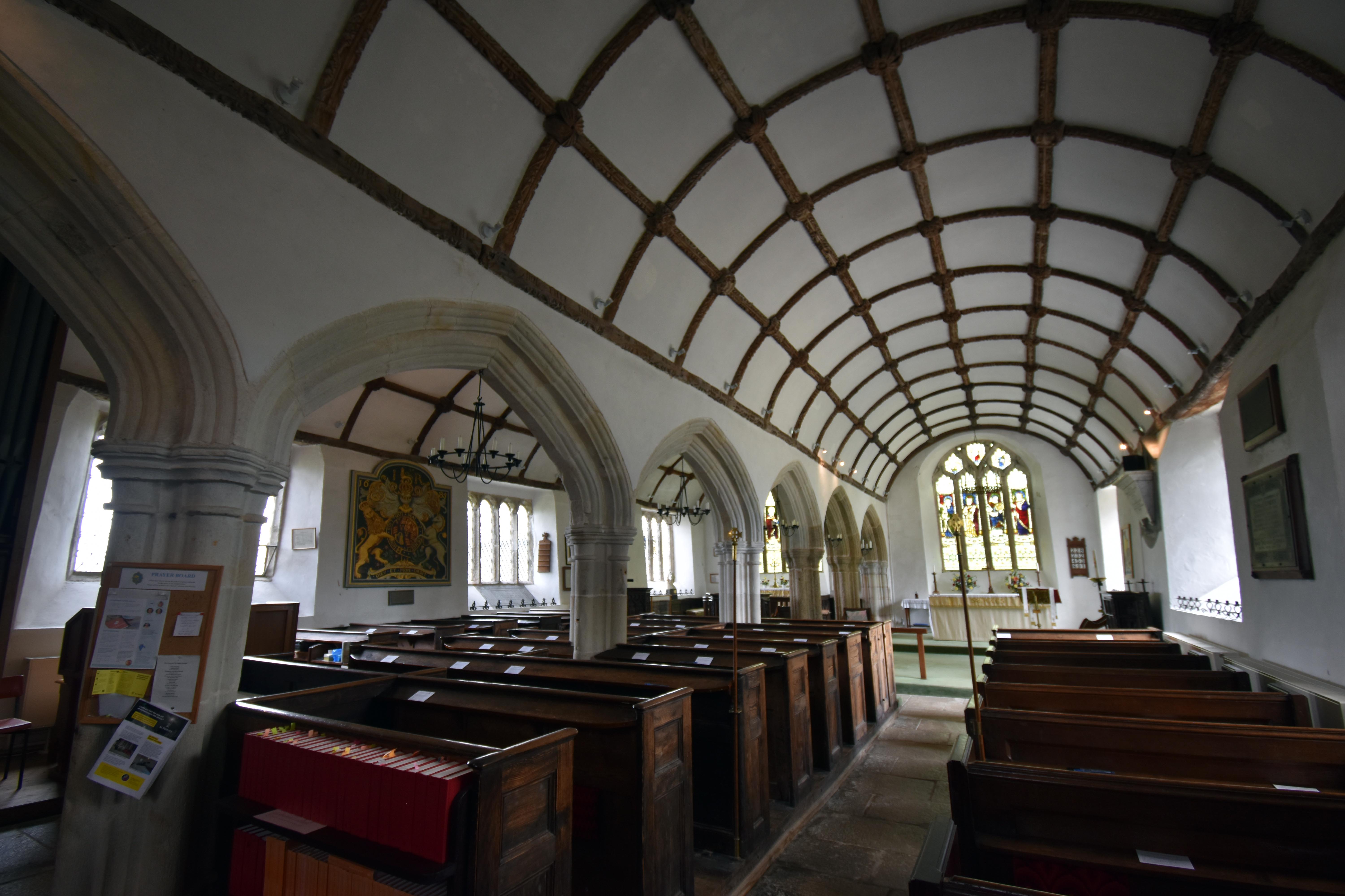
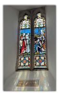
The 13th‑century church is beautifully light and airy with lovely views along the valley. Supposedly its twin‑basilica design shows Iberian influences, which is perhaps not too surprising when you consider that this part of Cornwall traded with Spain and Portugal for centuries. St Sampson is named after a saint who apparently killed a serpent just down by the river next to Golant before sailing to Brittany to convert the heathens there. It is no accident that he found the serpent here, as he was following the very well‑worn Saints’ Route that landed Christian missionaries at Padstow to walk down to Fowey and avoid having to take a ship around the perilous shores of Land’s End and the Scilly Isles. Sampson was one such missionary on his way to Europe to reintroduce Christianity from the Celtic fringes, where it had held on as various barbarians rampaged through the Roman Empire in its dying days.
St Sampson'

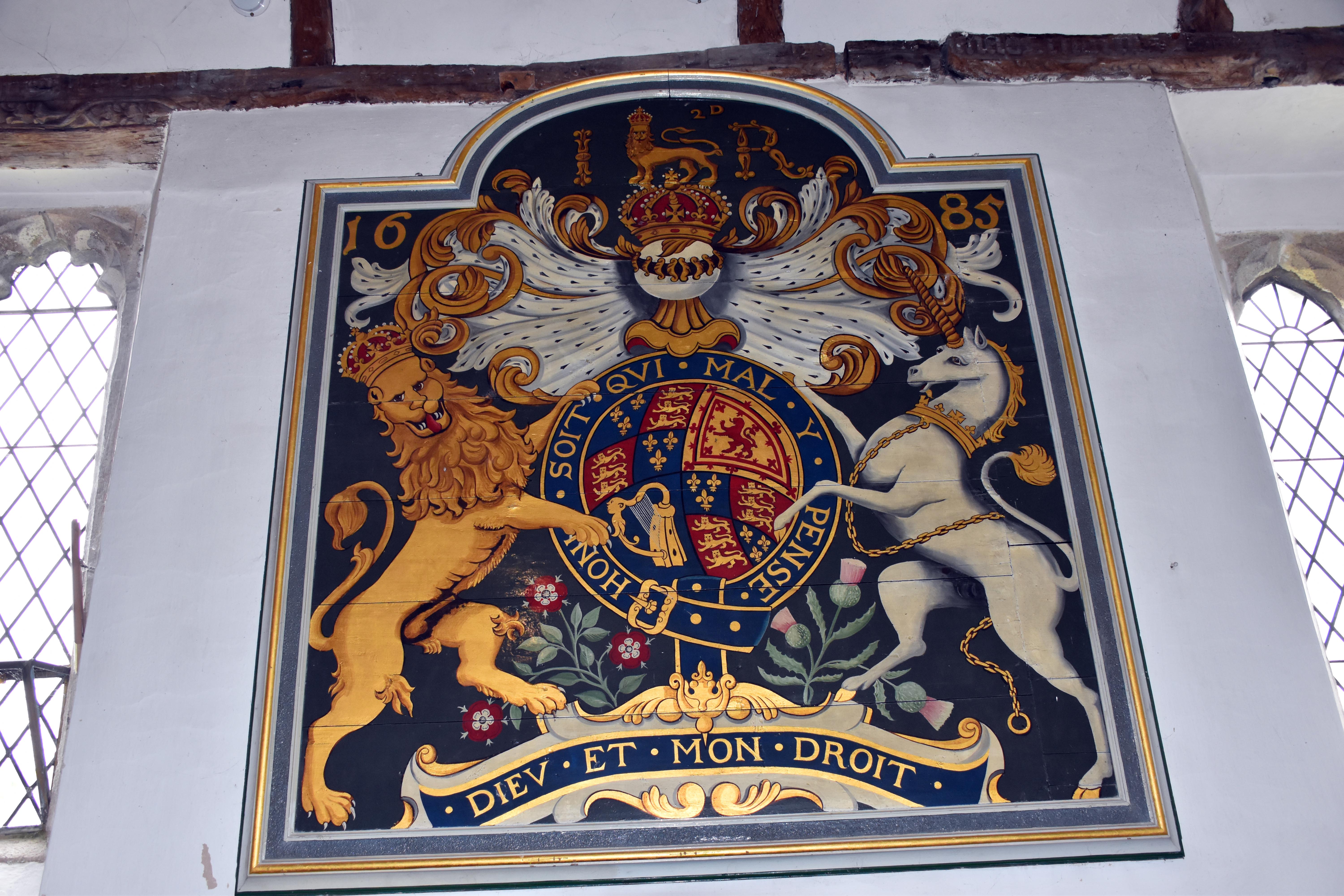
St Sampson’s proudly displays the Lord’s Prayer in Cornish, which of course would be more recent than you might realise. Before the introduction of the Book of Common Prayer in 1549 the entire service would have been in Latin. After this it tended to be in English — unless you lived in the Celtic fringes like Wales or here in Cornwall. There is also a Royal Coat of Arms dedicated to King James II and erected in 1685. This was almost certainly in the aftermath of the Duke of Monmouth’s unsuccessful rebellion, where the Westcountry supplied far too many of the rebels for the King’s liking. Hanging this particular coat of arms might have been Golant’s way of trying to avoid the retribution of the authorities and their ‘Bloody Assize’.

After exploring the beautiful church, we rejoined the Saints’ Way and carried on our journey northwards back to Lostwithiel. The sun had been threatening to break through all day, but now it was bursting through with regularity. All in all, another beautiful walk from Lostwithiel. One of the nice things about the Westcountry is just how much history and how many extensive public footpaths we have. We barely saw anyone along our routes all day, and this is Half Term in one of the most touristic areas of the country. If you leave the beaten track it is very easy to find solitude, beauty and history. And it was delightful to see the foundational bases for one of the oldest pieces of literature in England with some of the most iconic characters. Romeo and Juliet eat your heart out — Cornwall has Tristan and Isolde!

Location of Walk

Click for OS Map of Area

Links

Historic England – Castle Dore (Scheduled Monument)
Official scheduling entry for the Castle Dore Iron Age hillfort with archaeological description and mapping

Cornwall Heritage Trust – Castle Dore Plaque
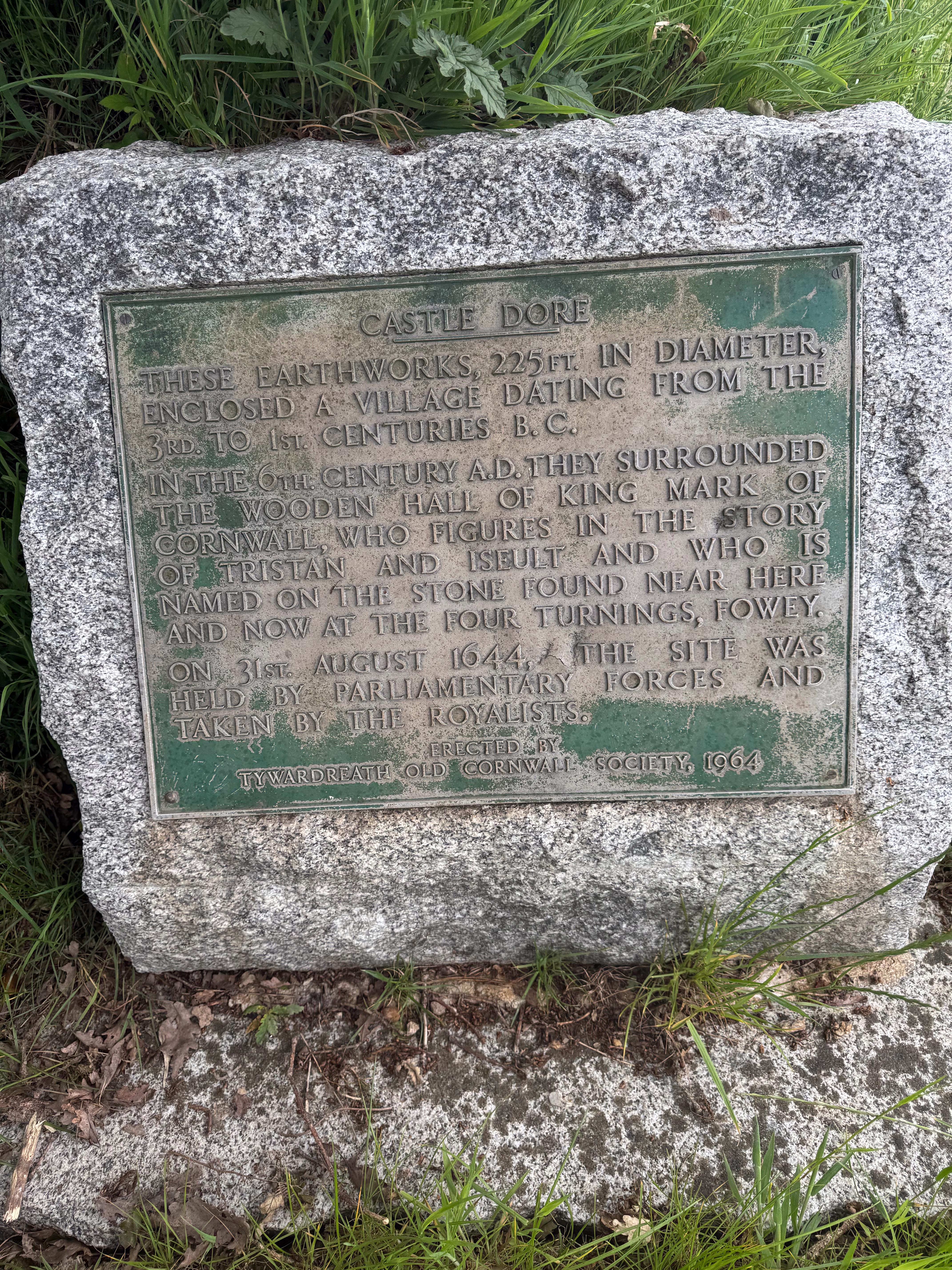
Commemorative plaque text linking Castle Dore with Iron Age settlement, King Mark, Tristan and Iseult, and the 1644 battle

Cornwall Guide – The Tristan Stone
Overview of the Tristan Stone, its Latin inscription, Christian cross, and association with Tristan and King Mark

Historic England – The Tristan Stone (Scheduled Monument)
Official record of the Tristan Stone as an early Christian memorial and wayside cross north of Fowey

National Churches Trust – St Sampson’s, Golant
Summary of St Sampson’s Church at Golant, its Celtic origins, fabric, and position on the Saints’ Way

Golant Village – St Sampson’s Church
Local description of St Sampson’s, its services, congregation, and role in village life above the Fowey

Cornwall Council – The Saints’ Way Trail
Official route information for the Saints’ Way across mid‑Cornwall, including landscape description and access notes

British Pilgrimage Trust – Cornish Saints’ Way
Pilgrimage‑oriented guide to the Saints’ Way from Padstow to Fowey, with route stages and historical background

English Heritage – Restormel Castle (History)
Historical overview of Restormel Castle, including its medieval development and role in the 1644 Lostwithiel campaign

Visit Lostwithiel – History of Lostwithiel
Town history from Norman foundations and tin trade to its role as a stannary town and Civil War centre

Fowey Heritage – Caffa Mill and Fowey
Local heritage note on Caffa Mill and Fowey’s historic role as a creek, ferry point, and trading site on the Fowey estuary

Britannica – Tristan and Isolde
Concise scholarly summary of the Tristan and Isolde legend, its medieval sources, and Arthurian connections

British Battles – Battle of Lostwithiel (1644)
Illustrated narrative with campaign maps, troop movements, and terrain interpretation

Historic England Battle of Lostwithiel (1644)
Description of battlefield

Suggested Reading

Barber, Richard – Tristan and Isolde
Boydell Press, 1979

Bennett, Martyn – The English Civil Wars in the South West
Stuart Press, 2017

Bromwich, Rachel – Trioedd Ynys Prydein: The Triads of the Island of Britain
University of Wales Press, 1978

Henderson, Charles – Essays in Cornish History
Oxford University Press, 1935

Loomis, Roger Sherman – Celtic Myth and Arthurian Romance
Columbia University Press, 1927

Payton, Philip – Cornwall: A History
Cornwall Editions, 2004

Photiou, Phil – Plymouth’s Forgotten War
Independently Published, 2020

Radford, Ralegh – Castle Dore: A Reappraisal
Cornwall Archaeological Society, 1962

Radford, Ralegh & Swanton, Michael – Arthurian Sites in the West
Phillimore, 1975

Stoyle, Mark – The Civil War in Cornwall
University of Exeter Press, 1990

Stoyle, Mark – West Britons: Cornish Identities and the Early Modern British State
University of Exeter Press, 2002

Thomas, Charles – Celtic Britain
Thames & Hudson, 1986

Thomas, Charles – Christianity in Roman Britain to AD 500
Batsford, 1981

More Walks

Walks by the Westcountry Walker

Walks in Cornwall

Walks in Devon

Walks in Somerset

Walks in Hampshire

Walks in Wiltshire

Coulson’s Park in 1906, with tree-lined paths and open green as we leave Lostwithiel River Fowey flowing gently through wooded banks and quiet reflections near the Saints’ Way Open fields near Castle Dore where the Battle of Lostwithiel unfolded in 1644 Rupert exploring the ramparts of Castle Dore, tail high and nose to the wind
Coulson’s Park — the Edwardian green space where our walk begins, just south of Lostwithiel station River Fowey — tranquil waters and wooded banks as we follow the Saints’ Way southward Battlefield fields — open ground near Castle Dore where Essex’s troops clashed with Royalist forces Castle Dore — Rupert surveying the ancient hillfort and its sweeping views across the Fowey valley
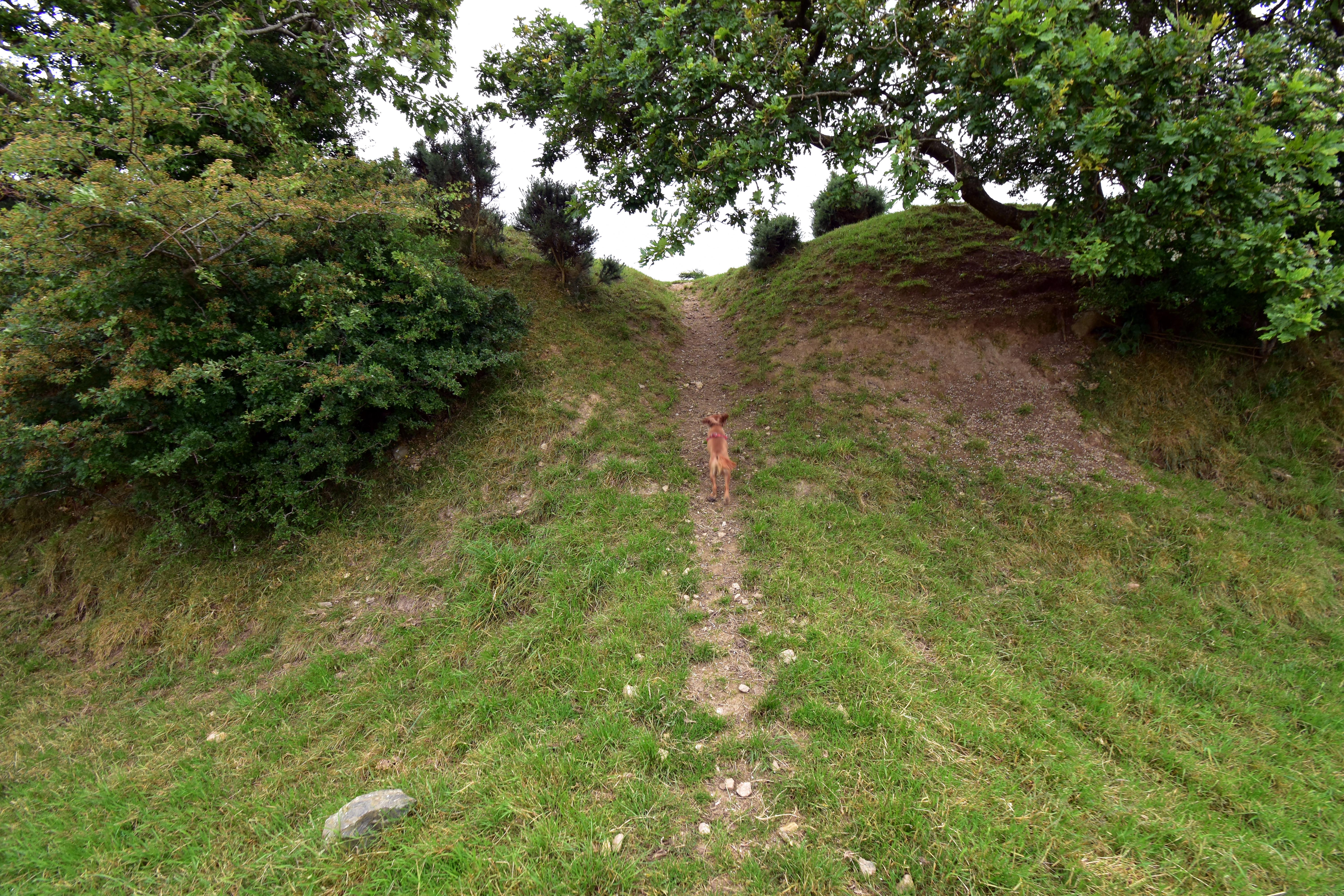
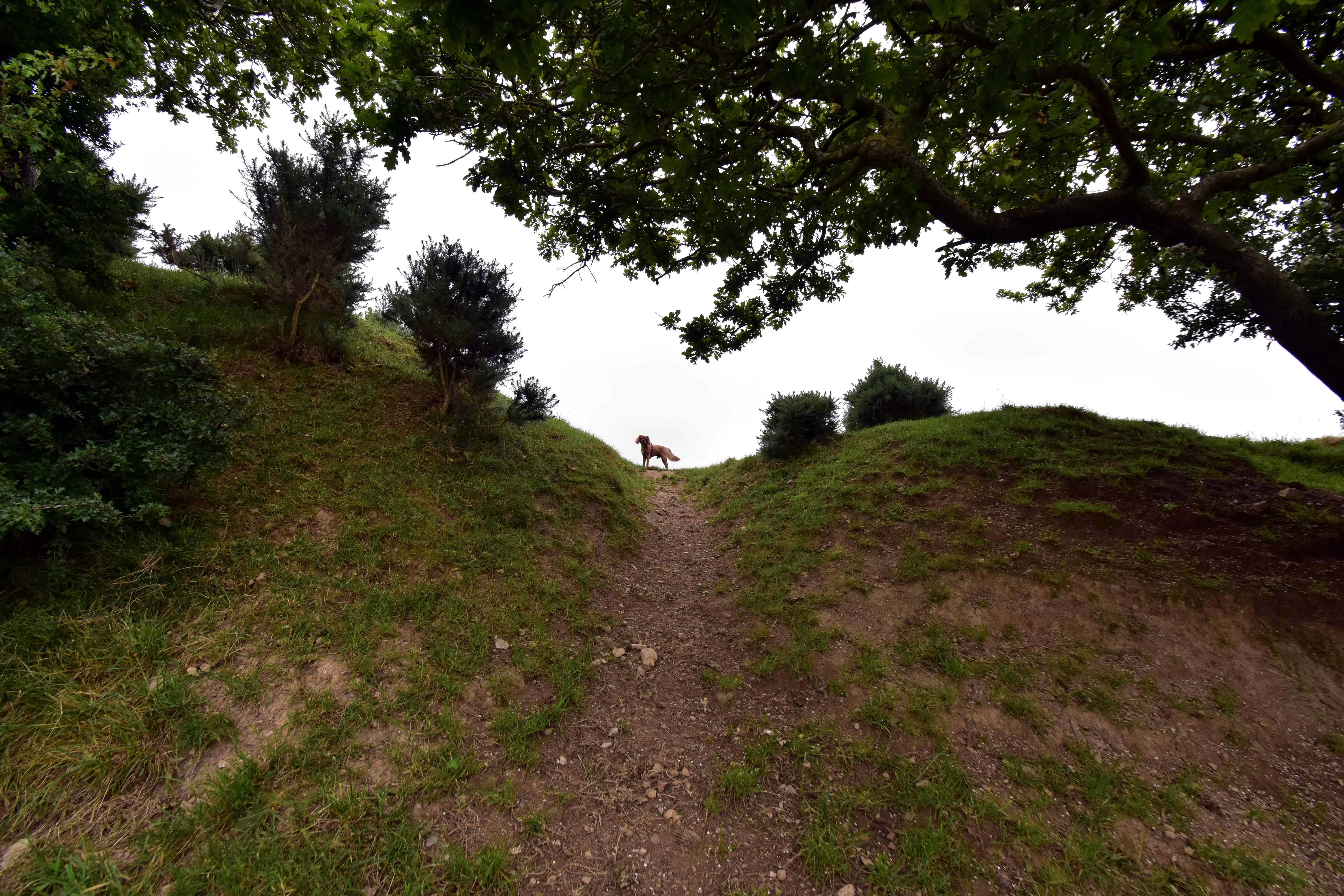
Rupert climbing the Iron Age ramparts at Castle Dore, framed by trees and grassy banks Rupert silhouetted on the crest of Castle Dore’s earthworks, surveying the ancient hillfort Commemorative plaque at Castle Dore describing its Iron Age origins, King Mark, and the 1644 battle Rupert standing in Castle Dore under moody skies, with the Fowey Valley stretching into mist behind him
Castle Dore ramparts — Rupert climbing the Iron Age earthworks, where Parliamentarian troops once held the line Crest of the hillfort — Castle Dore’s ancient battlements - which saw action in the English Civil War Castle Dore plaque — marking the site’s Iron Age village, King Mark’s hall, and the 1644 Royalist assault Fowey Valley mist — Rupert surveying the battlefield from Castle Dore as low clouds drift across the hills
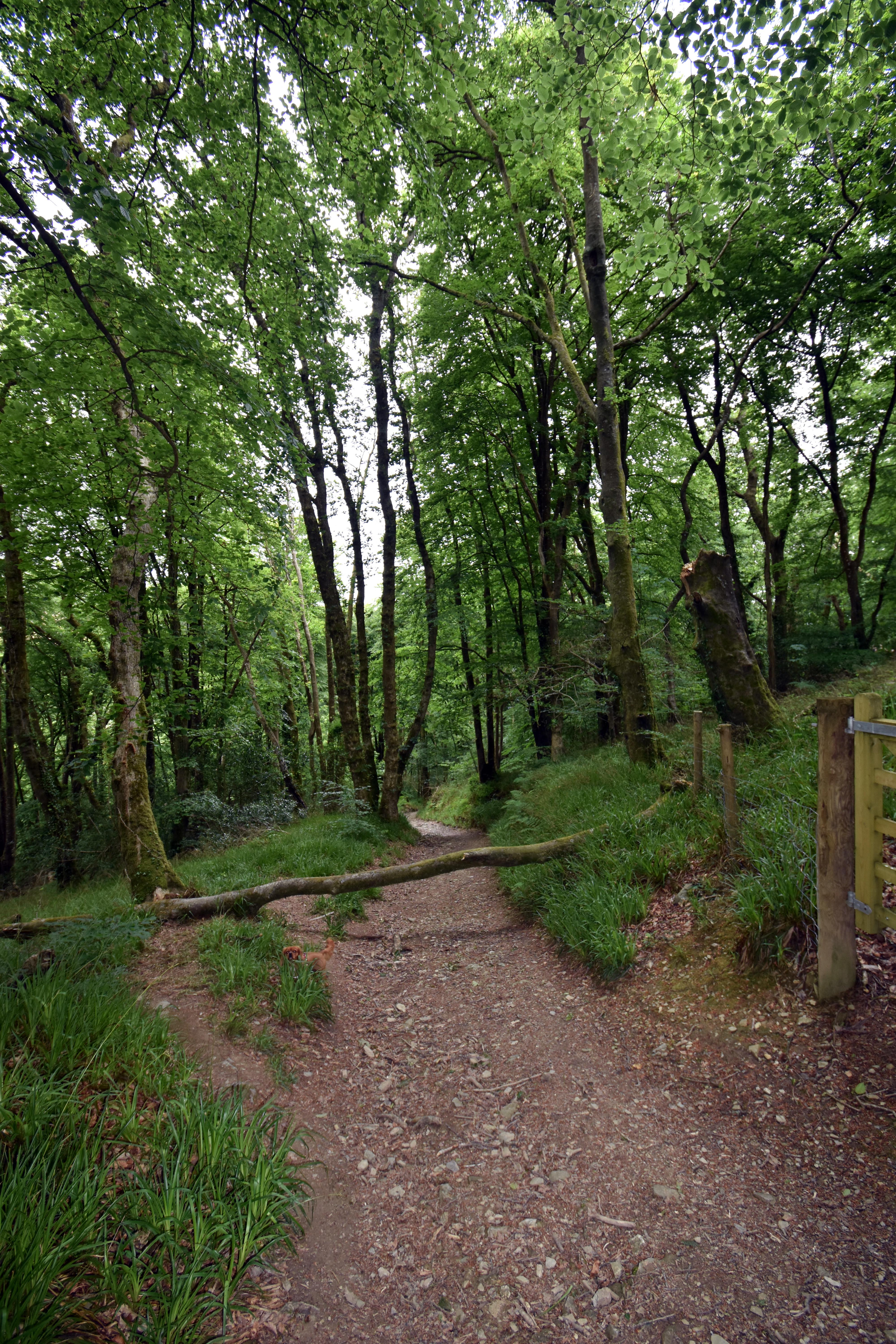
The Tristan Stone standing alone on its circular base, weathered and solemn in the Cornish grassland Plaque beside the Tristan Stone describing its 6th-century Christian cross and inscription to Drustanus Rupert at the dog stop in Hillhay, beside a mossy wall and a jar of complimentary water Saints’ Way trail cutting through Golant Down, flanked by trees and a fallen trunk across the path
The Tristan Stone — ancient memorial to Drustanus, linking King Mark and the legend of Isolde Tristan Stone plaque — early Christian cross and Latin inscription tying the stone to Cornwall’s Arthurian past Hillhay dog stop — Rupert enjoying a well-earned drink beside the old railway line and friendly signage Colvithick Wood — Saints’ Way winding through woodland and fallen branches on the return to Lostwithiel
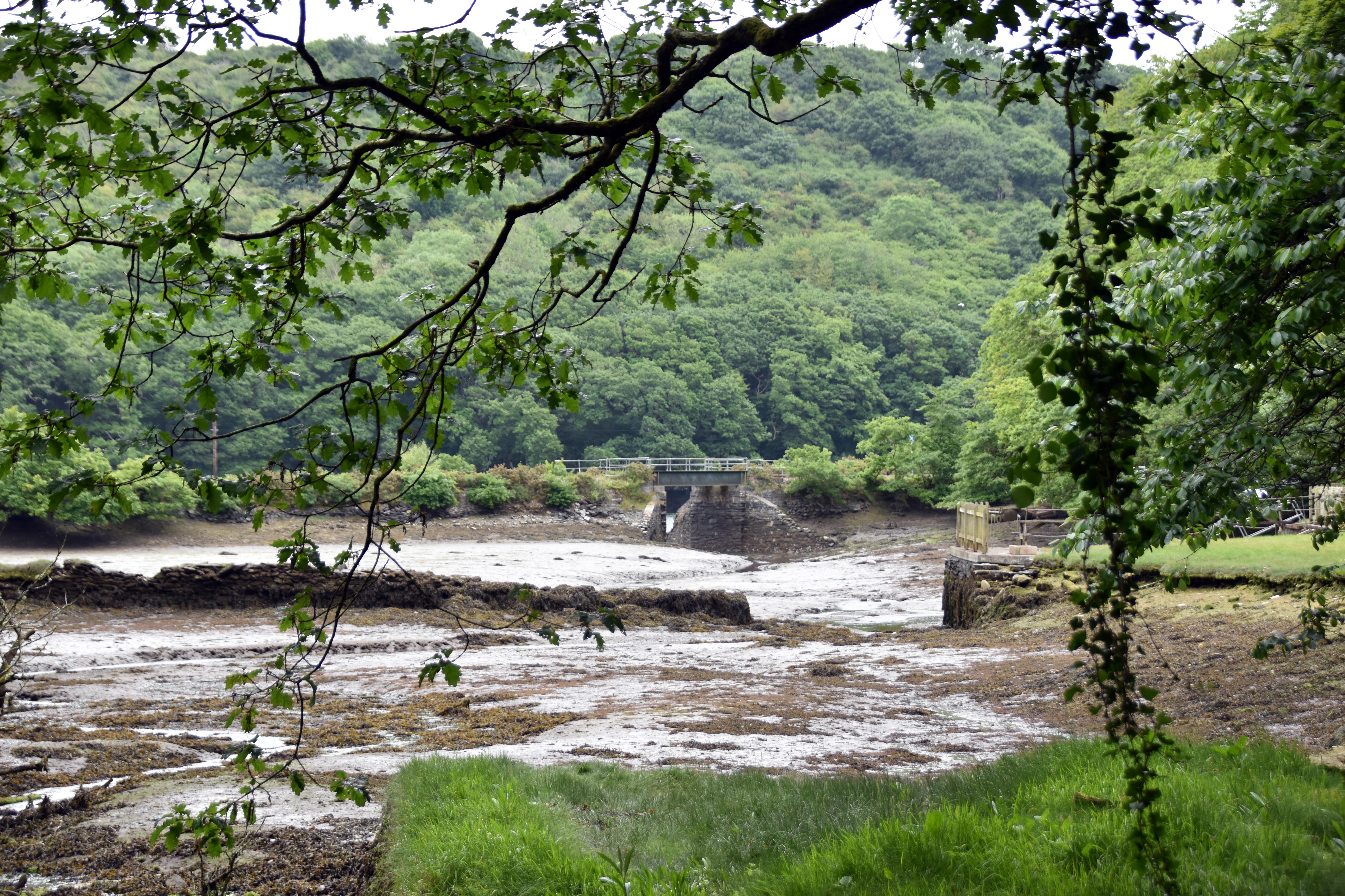
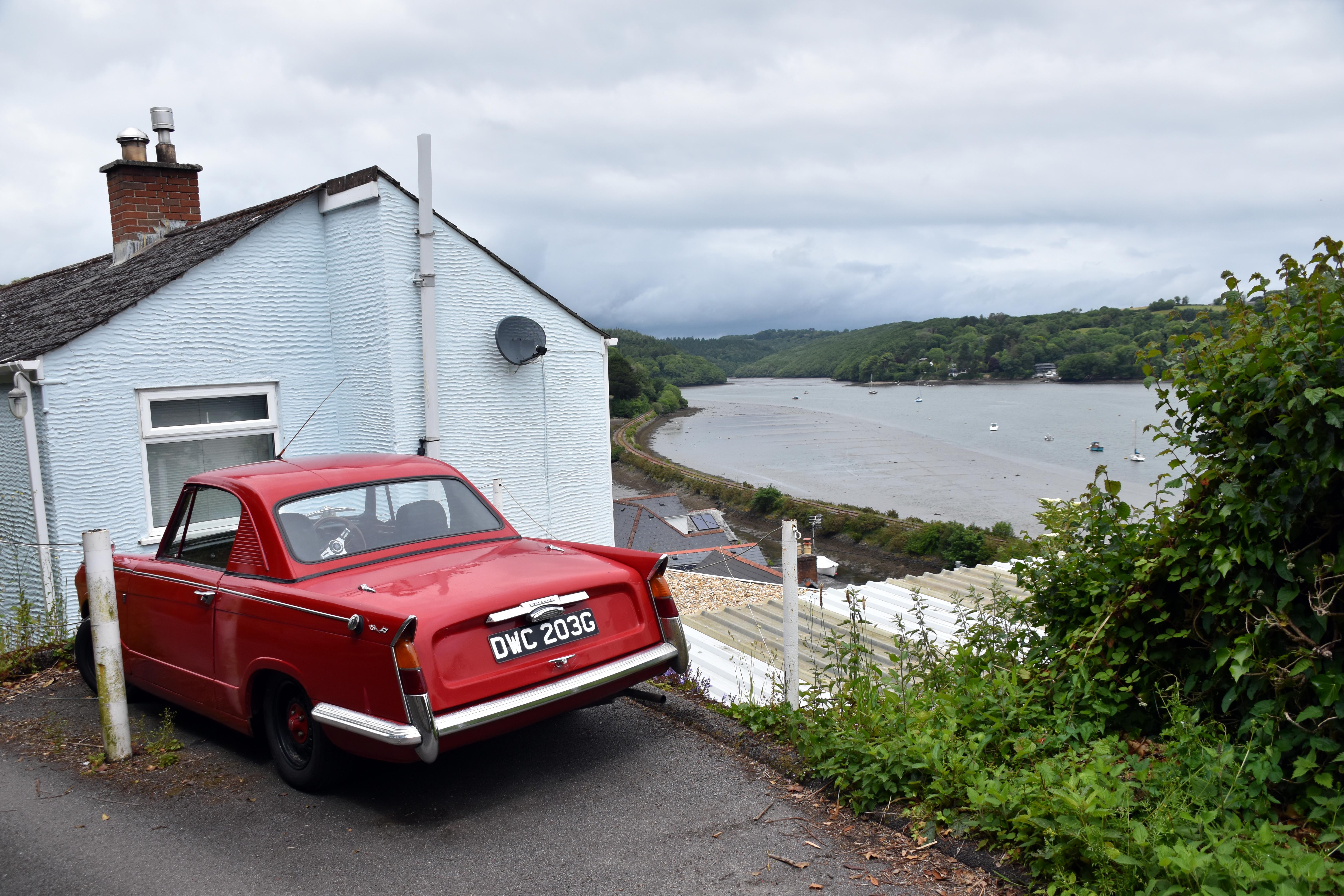
Tea break in Colvithick Wood, with Rupert standing in the stream and a quiet waterfall behind Crossing Bodmin Pill into Golant Wood, with tidal river, sluice gate and forested hills beyond Walking into Golant, with Rupert on the path and boats moored along the wooded Fowey estuary View up Penpoll Creek with a red 1968 Morris Minor Traveller parked in front of the estuary
Colvithick Wood — tea break by the stream as Rupert explores the mossy rocks and quiet waterfall Bodmin Pill — crossing into Golant Wood beside the sluice gate and tidal river at low tide Golant — walking into the village with boats on the estuary and hillside houses above the path Penpoll Creek — red Triumph Vitesse parked above the water, with misty hills and moored boats beyond
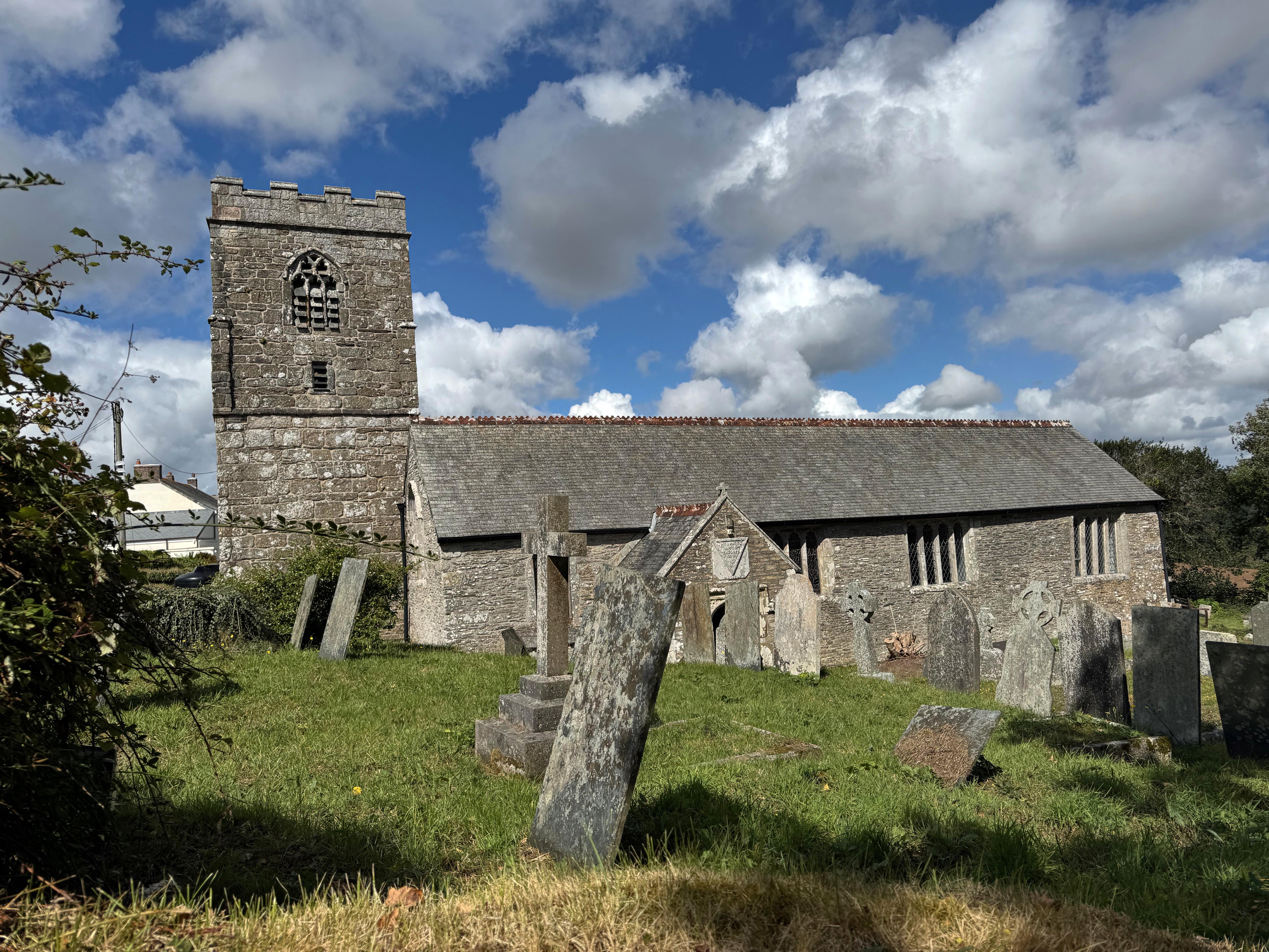
River Fowey at low tide, with winding railway and moored boats beneath forested hills and rooftops Descending into Golant, with stone cottages, slate roofs and sailboats anchored in the estuary below Entrance to St Sampson’s Church, with carved Tristan and Iseult gateway and Rupert peering through the arch St Sampson’s Church in Golant, with weathered gravestones and grey stone tower beneath a clearing sky
River Fowey — tidal waters, anchored boats and the railway curving beneath the wooded hills of Golant Golant — descending to the waterfront past whitewashed cottages and the quiet estuary moorings Tristan and Iseult gateway — carved entrance to St Sampson’s, where legend meets landscape St Sampson’s Church — medieval tower and mossy gravestones above the Fowey, echoing Cornwall’s layered past
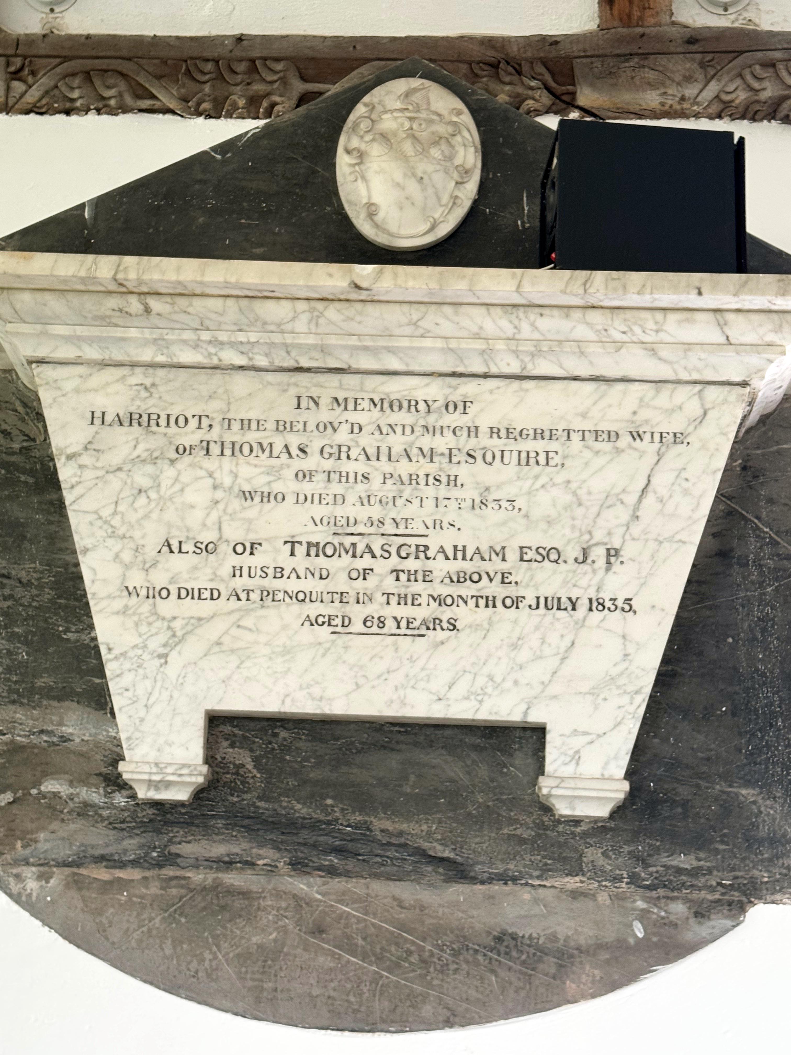
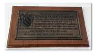
Stained glass window of Saint Sampson baptising a heathen, with vivid robes and floral tracery Granite war memorial cross in the churchyard, engraved with names of local men lost in war Plaque commemorating Ronald Gundry Carnall, Lieutenant in the Machine Gun Corps, killed in France 1916 Marble memorial to Harriot and Thomas Grahame, with classical relief and legible inscription from 1833 and 1835
St Sampson window — vibrant glass showing the saint’s baptismal mission and Cornish Christian legacy Churchyard memorial — granite cross listing Golant’s fallen, standing quietly among the trees Ronald Gundry Carnall — Machine Gun Corps officer remembered for his sacrifice in the Great War Grahame memorial — marble plaque commemorating Harriot Grahame (d. 1833) and her husband Thomas Grahame, J.P. (d. 1835), with neoclassical relief and legible inscription noting their residence at Penquite
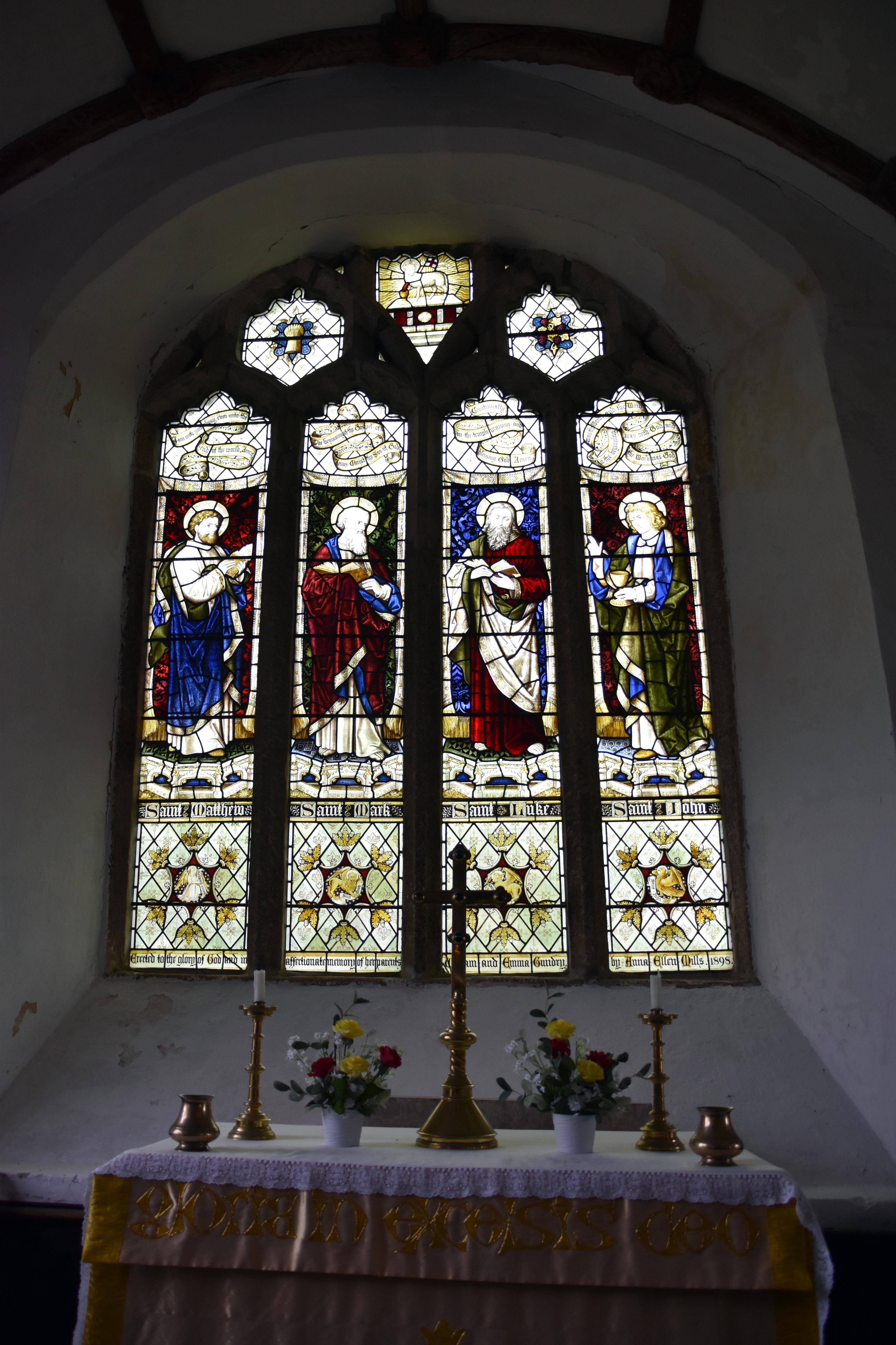
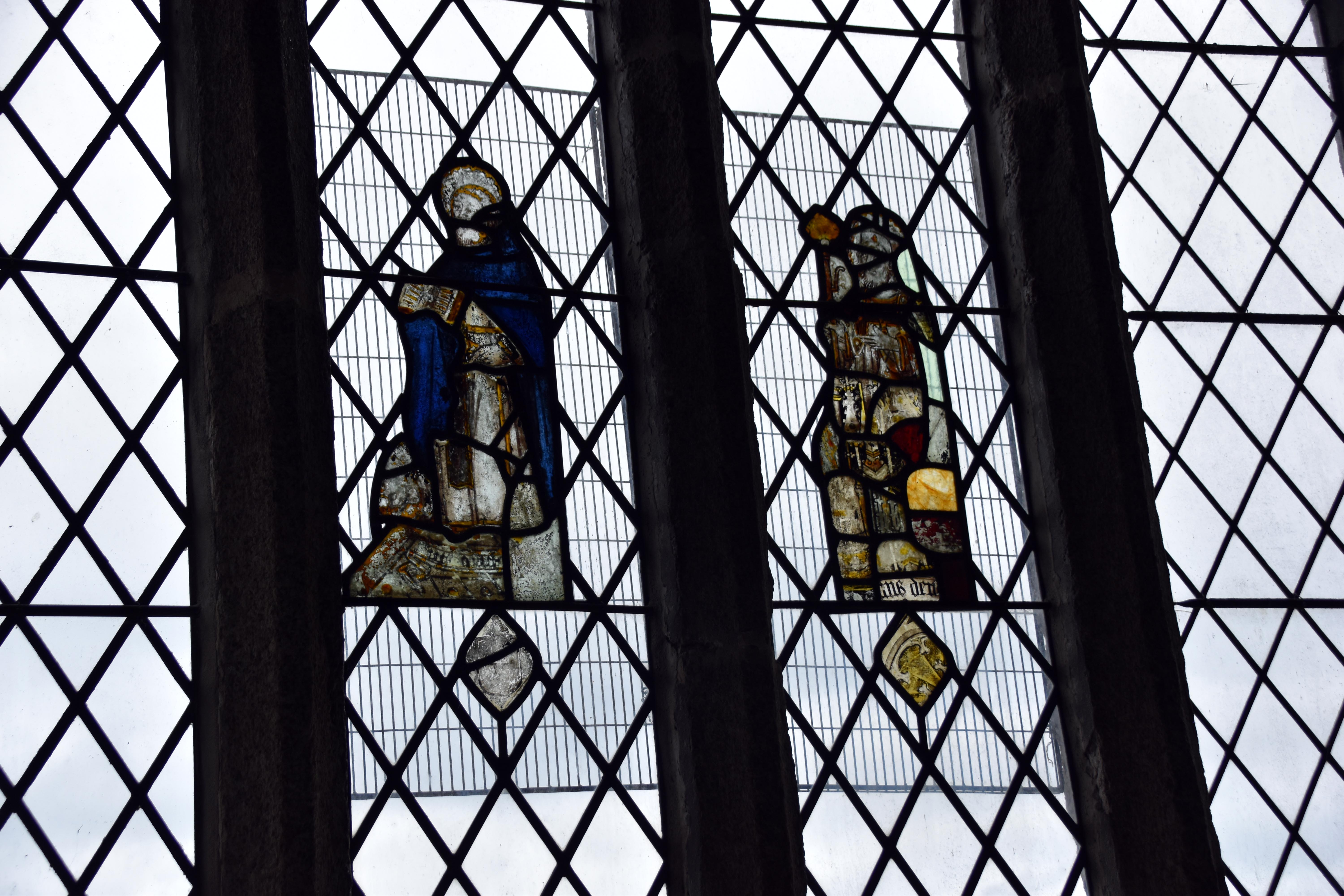
Stained glass window showing St Elegius, St George, St Sampson and St Katherine in vibrant robes and latticework Stained glass window of the four apostles — Matthew, Mark, Luke and John — above a gold altar cloth reading 'gloria in excelsis deo' Rare medieval glass panels with diamond lattice and fragmented figures, including a cloaked figure and abstract coloured forms Plaque commemorating Edmund, son of Thomas Constable, with poetic epitaph and Latin verse from 1676
Saints and martyrs — stained glass of St Elegius, St George, St Sampson and St Katherine, glowing with colour and symbolism Four apostles — Matthew, Mark, Luke and John above the altar, with gold cloth and floral offerings Medieval glass — rare surviving panels with cloaked figures and abstract fragments in diamond lattice Edmund Constable — poetic memorial from 1676, mourning a brief life with Latin verse and candle-lit inscription
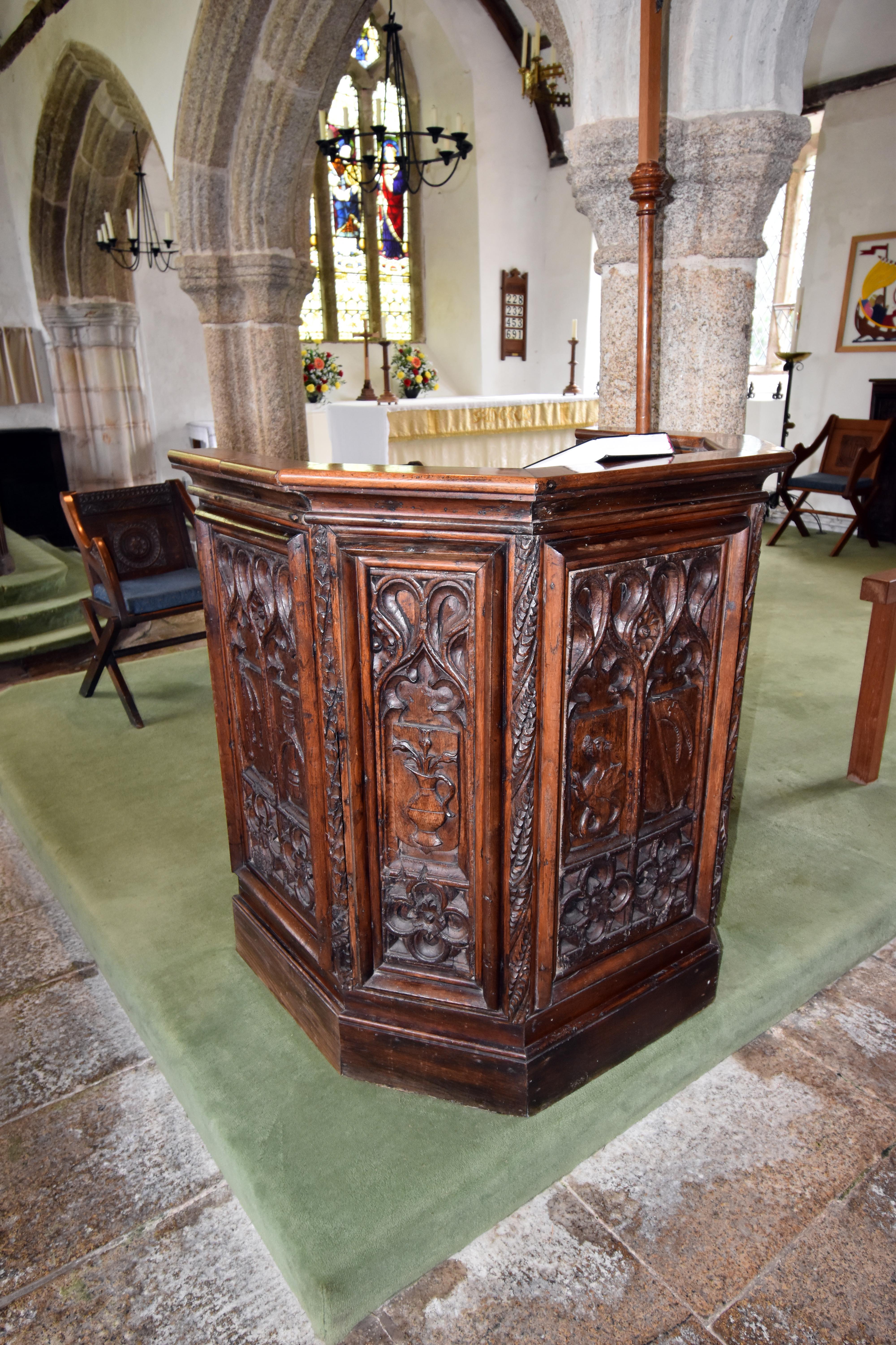
Royal Coat of Arms dated 1685, with lion and unicorn flanking the shield of James II above the mottoes Stained glass window of St Sampson killing the serpent and sailing to Brittany, with vivid panels and memorial inscription Nave of St Sampson’s Church, with ribbed ceiling, stone arches, wooden pews and stained glass glowing at the altar Carved wooden pulpit with Gothic panels, religious figures and embroidered IHS cloth in cream and gold
Royal Arms of James II — 1685 heraldic panel with lion and unicorn, hung in Golant after the Monmouth Rebellion St Sampson window — serpent slain and voyage to Brittany, commemorating Jane Blowey in vivid glass Church nave — ribbed ceiling, stone arches and glowing glass above the altar in St Sampson’s Pulpit — carved wood with Gothic saints and embroidered IHS cloth, standing beside the chancel
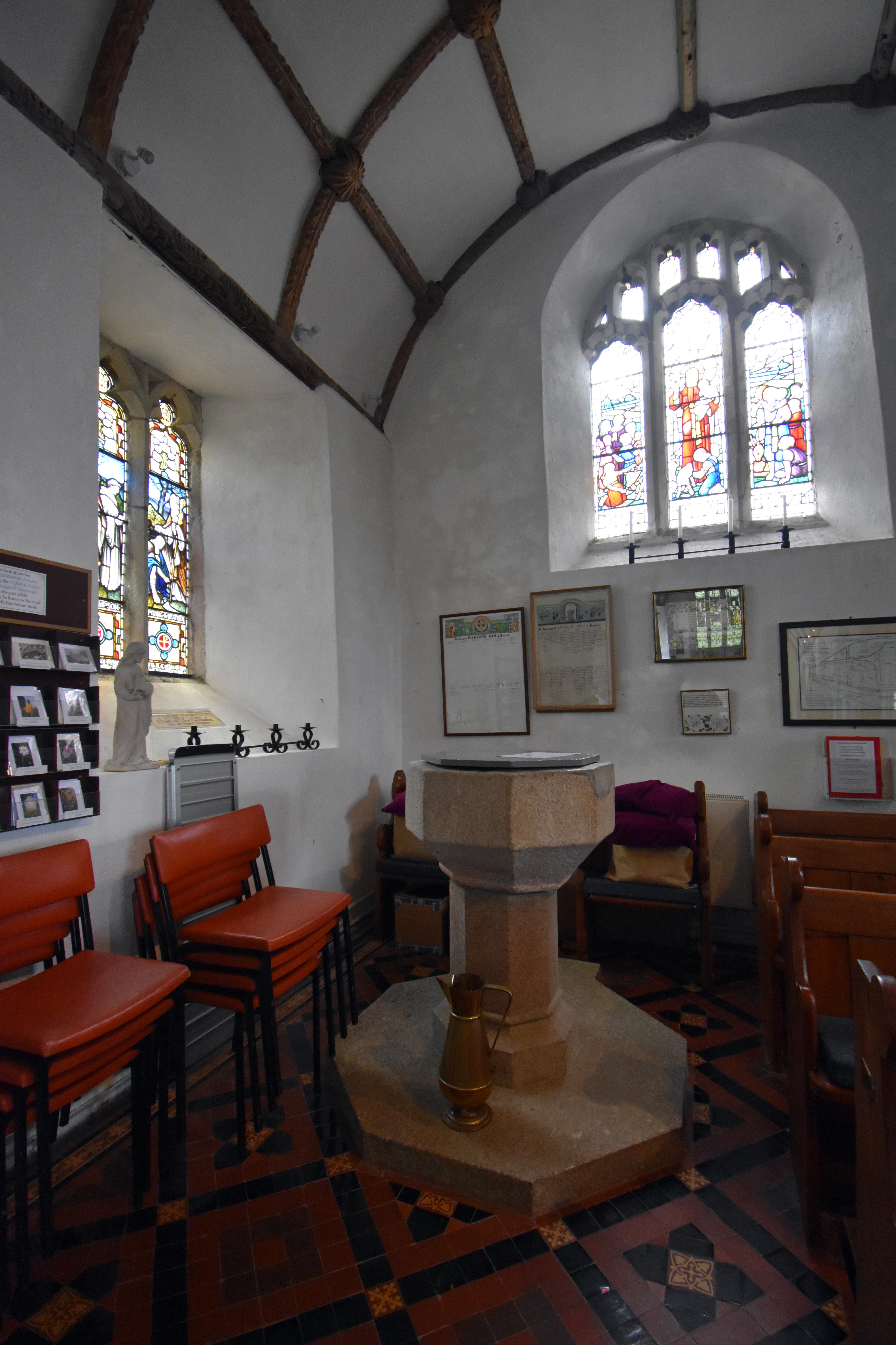
Wooden lectern with carved Gothic panels and floral IHS cloth, standing beside the chancel in St Sampson’s Stone baptismal font with brass pitcher, set beneath stained glass and surrounded by pews and tiled floor Framed Cornish text of the Lord’s Prayer, mounted beneath leaded windows in the church interior Holy Well of St Sampson, gated and moss-covered, nestled in the hillside below the church at Golant
Lectern — carved wood and embroidered cloth bearing the IHS symbol, used for readings and sermons Baptismal font — octagonal stone basin with brass pitcher, beneath stained glass and timbered beams Pader Agan Arluth — the Lord’s Prayer in Cornish, preserving the Celtic Christian voice of the parish St Sampson’s Holy Well — ancient spring beneath the church, source of legend and reason for its location
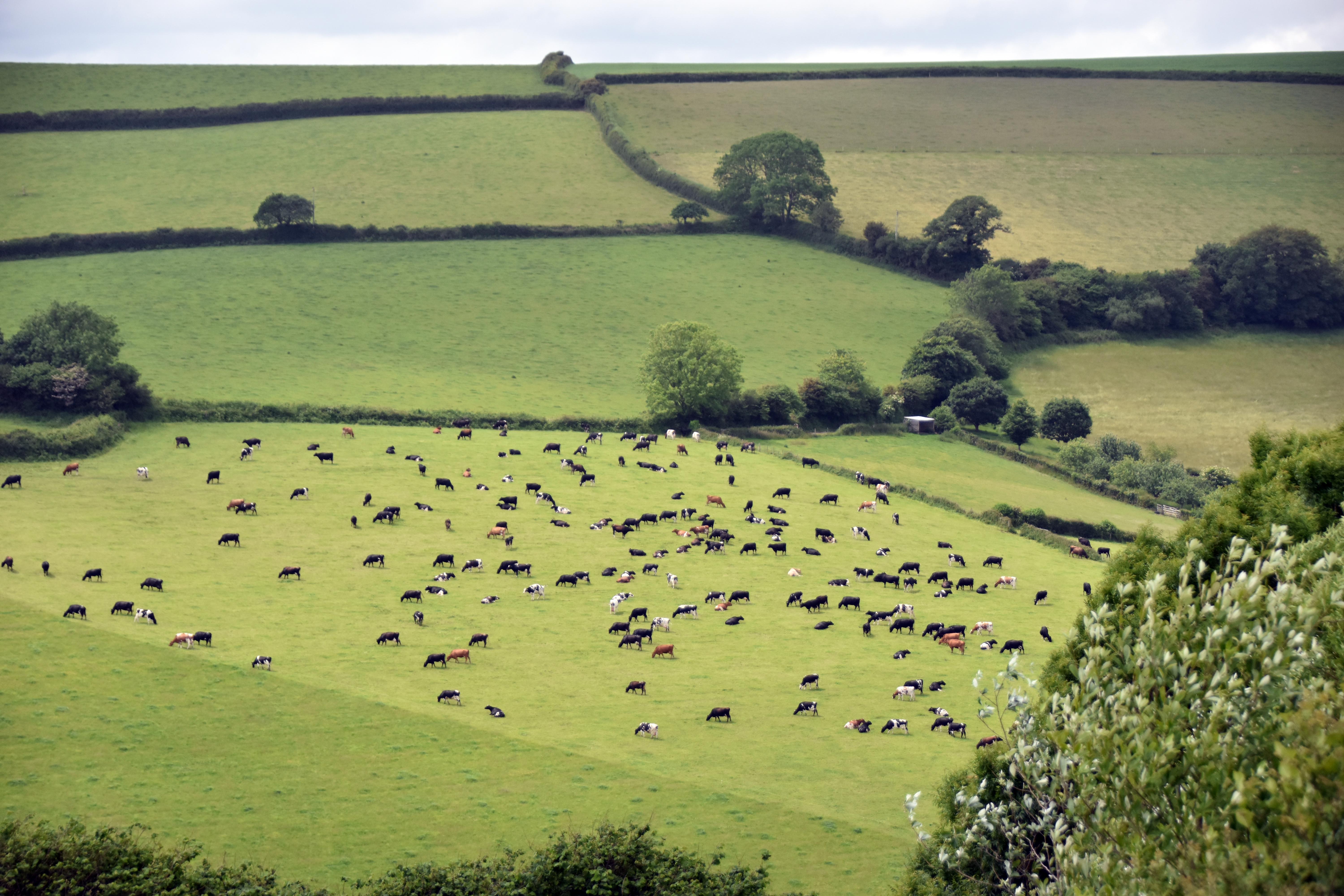
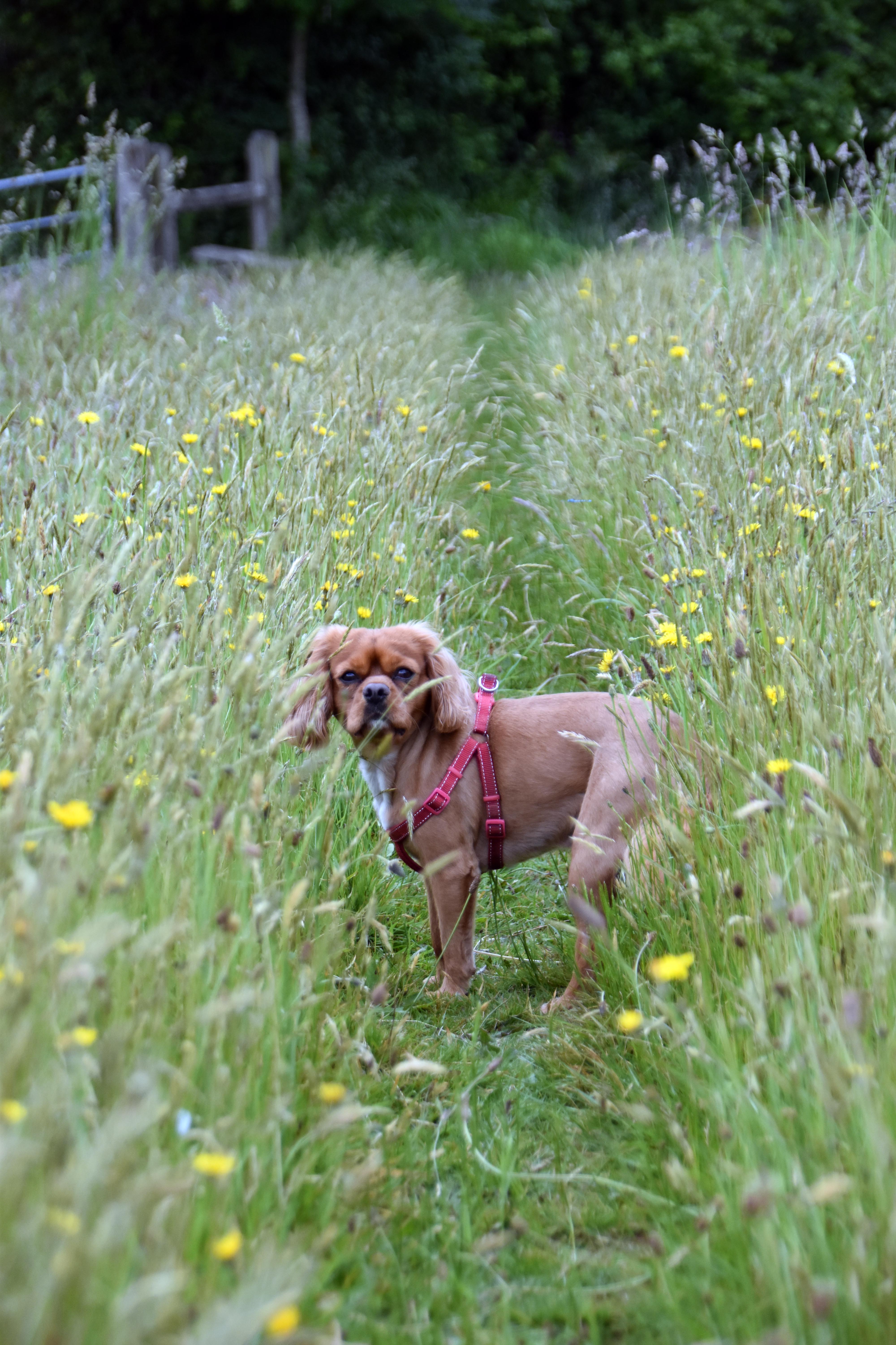
Rupert pausing on the Saints’ Way path through tall grass and wild vegetation under a brooding sky Gate and path across open fields where Royalist and Parliamentarian forces clashed in the Fowey Valley in 1644 Pastureland divided by hedgerows, once part of the Lostwithiel battlefield where Essex’s troops were encircled Rupert on the path through yellow wildflowers and tall grass, nearing Lostwithiel on the final stretch of the walk
Saints’ Way — Rupert pausing in the tall grass as the path climbs northward from Golant Battlefield gate — open fields where Royalists and Parliamentarians fought across the valley in August 1644 Lostwithiel battlefield — hedgerows and pasture where Essex’s army was cut off and forced to surrender Final stretch — Rupert walking through wildflowers as the path descends toward Lostwithiel
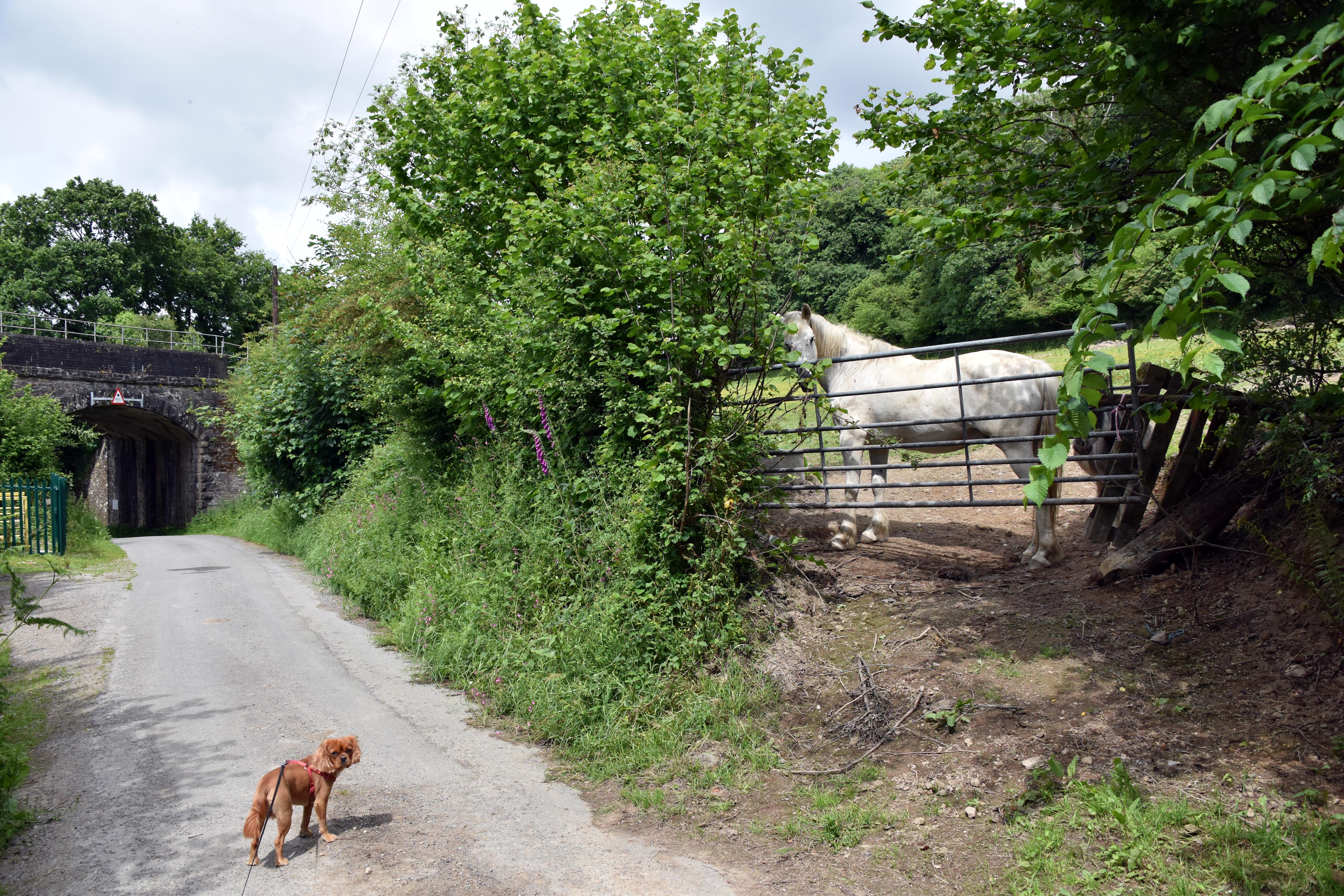
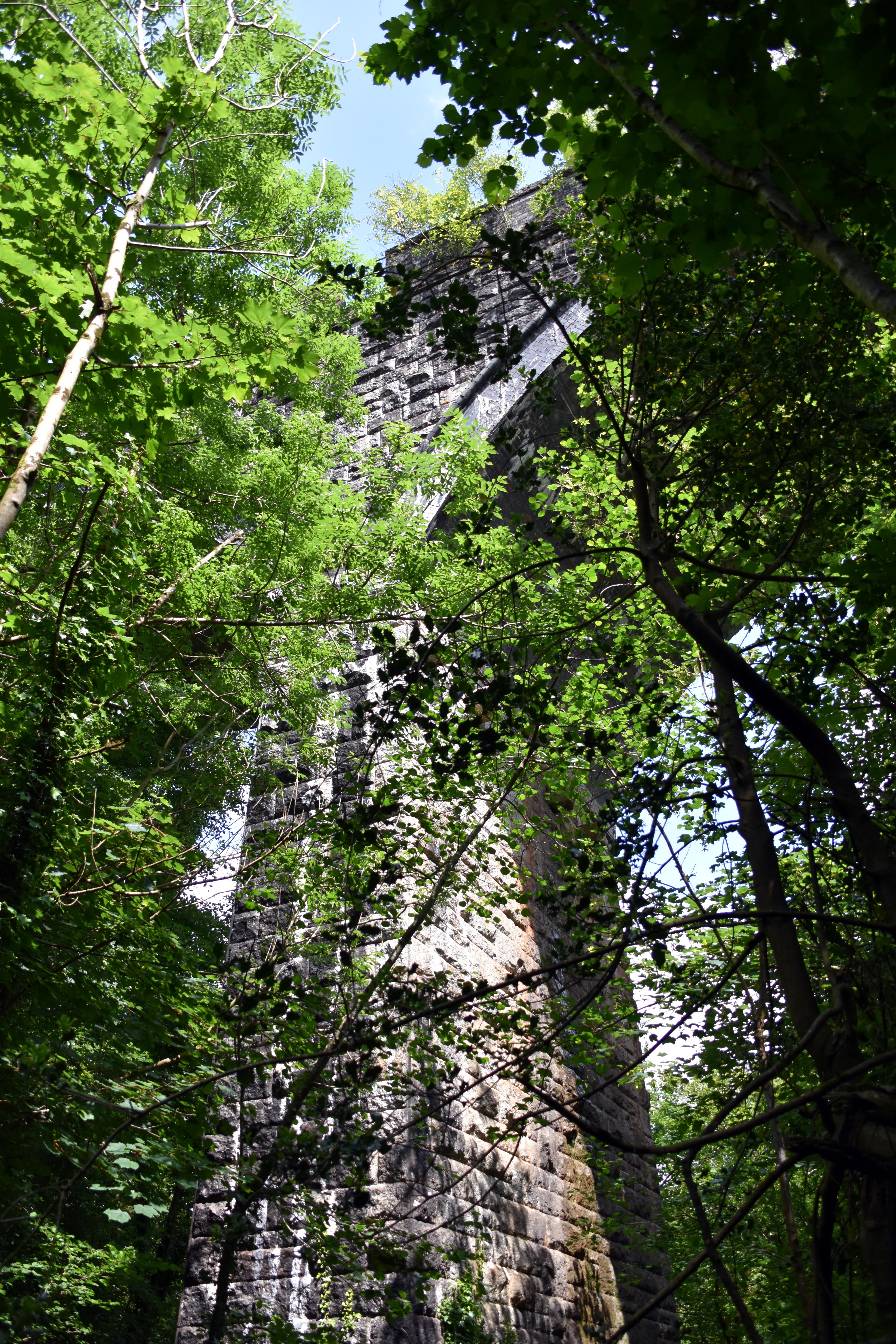
Large Bailey farm truck squeezing down a narrow tree-lined lane, brake lights glowing in the green tunnel Rupert and a white horse beside the railway bridge, with height restriction sign and stone archway on the lane Stone viaduct of the main Cornish line rising through the trees, sunlight catching the weathered blocks Rupert walking the Saints’ Way path through open grassland and trees, nearing Lostwithiel under a clearing sky
Farm traffic — Bailey truck navigating the tight lanes of the Fowey valley, framed by summer foliage Railway bridge — stone arch and farm horses beside the line, where the Saints’ Way crosses rural infrastructure Cornish viaduct — towering stonework of the main line, threading through the trees above the battlefield Saints’ Way — final stretch through grass and woodland as Rupert leads us back toward Lostwithiel
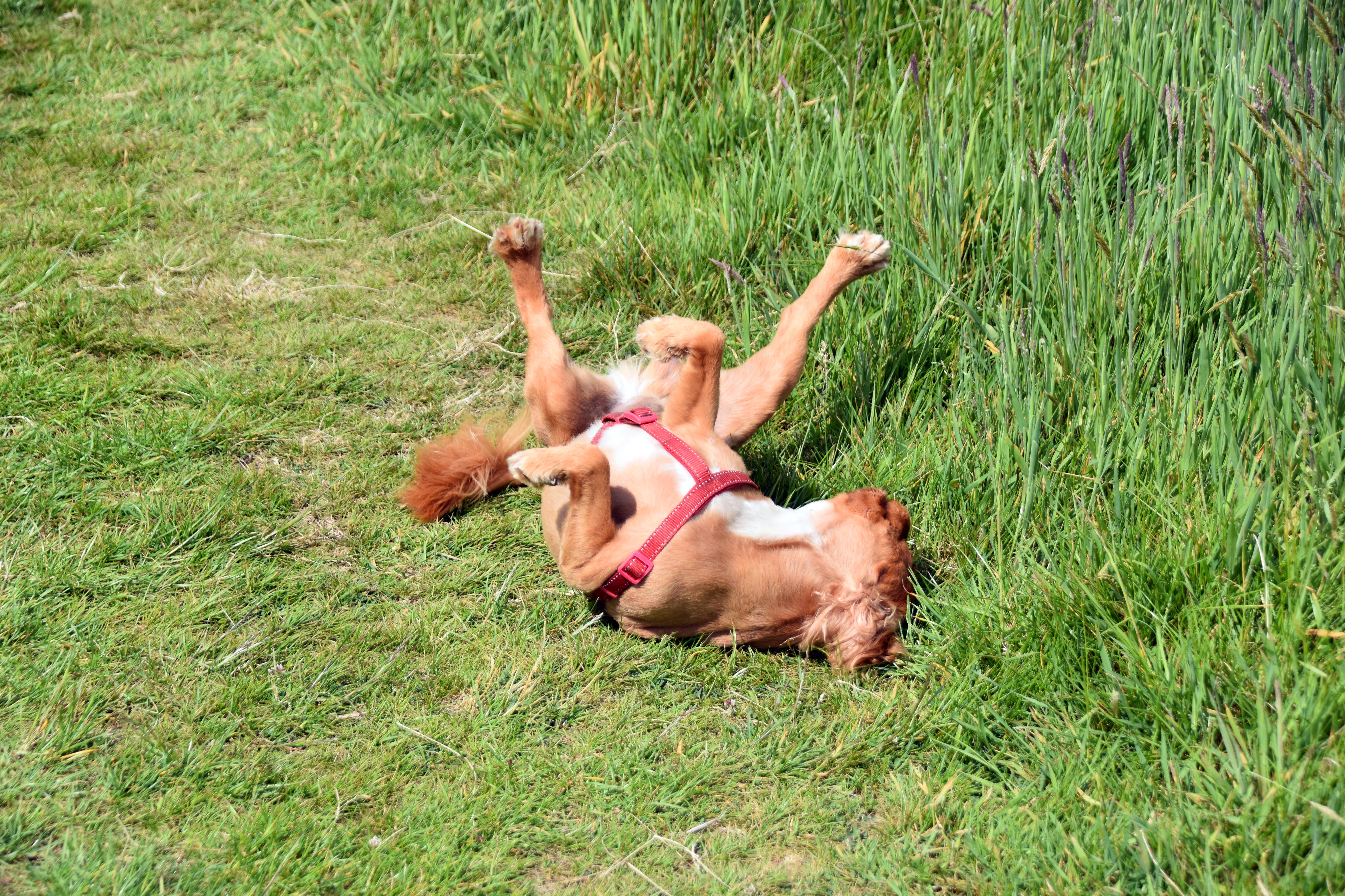
Rupert lying on his back in the grass, legs raised and tail curled in a moment of pure joy Rupert running through sunlit grass, ears flying and paws lifted on the final approach to Lostwithiel Lostwithiel church spire rising above the river and rooftops, framed by trees and moored boats Medieval bridge at Lostwithiel with five stone arches spanning the river, Rupert approaching the water’s edge
Rupert in bliss — rolling in the grass with paws aloft and tail curled, soaking up the moment Rupert in sunlight — bounding through the grass as the walk nears its joyful end Lostwithiel spire — church tower rising above the river and rooftops, marking our return to town Medieval bridge — five-arched stone span across the Fowey, where the walk began and ends

Walks by the Westcountry Walker
Armed Forces | Art and Culture | Articles | Biographies | Colonies | Discussion | Glossary | Hiking | Home | Library | Links | Map Room | Sources and Media | Science and Technology | Search | Student Zone | Timelines | TV and Film | Wargames
Donate by Stephen Luscombe