|
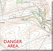
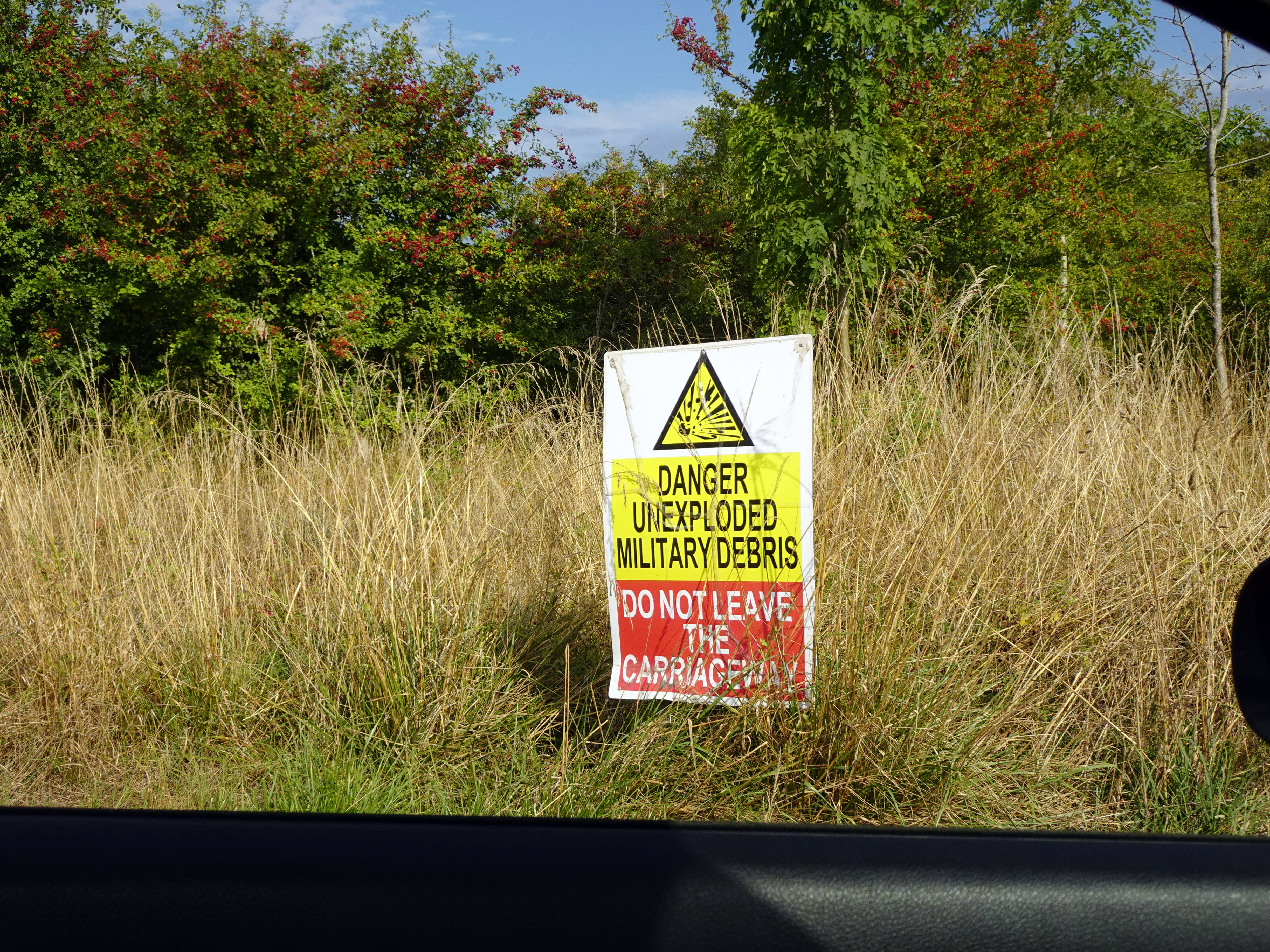
Today Rupert and I visited Imber Village, deep in the heart of Salisbury Plain. It is a place that can only be entered on a handful of weekends each year, when the Ministry of Defence briefly opens the roads across its vast training ranges. For the rest of the year, Imber lies silent, surrounded by barbed wire and the churned-up scars of tank manoeuvres — a ghost village in the middle of Britain’s military heartland.
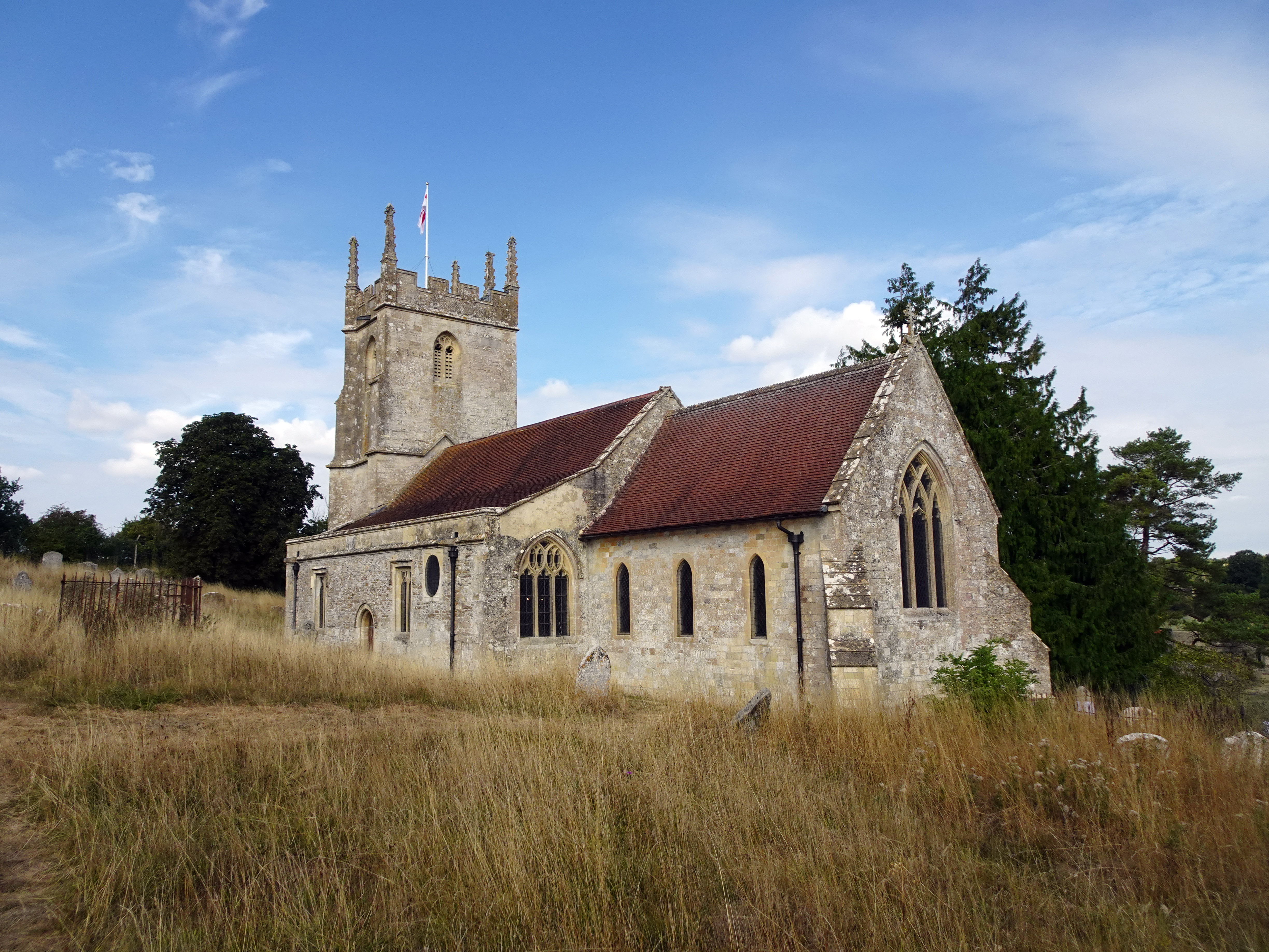
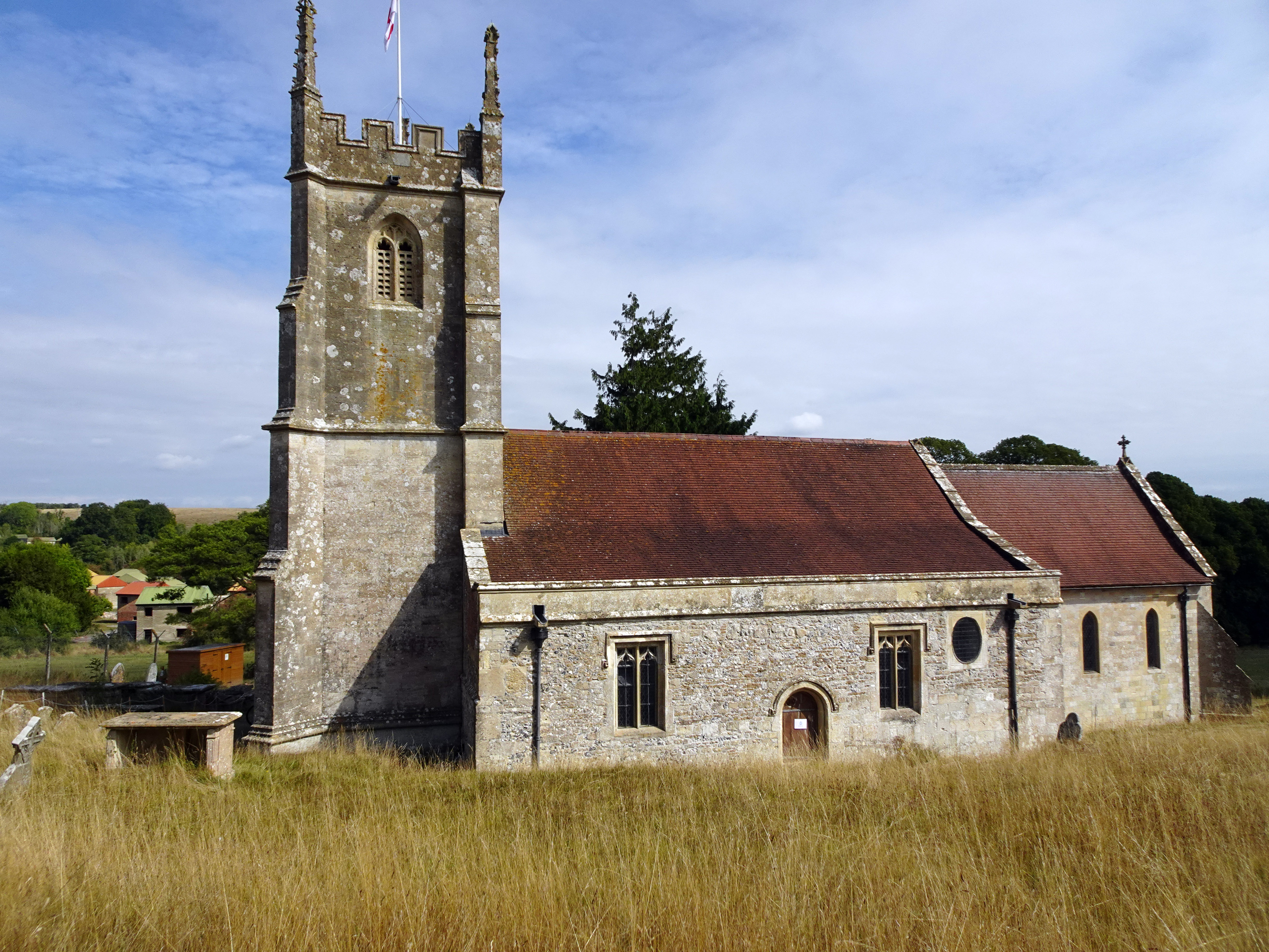
Imber’s story stretches back more than a thousand years. The first documentary evidence of its existence comes from Saxon times, with a mention in 967. By the time of the Domesday Book in 1086, Imber was recorded as a small settlement of around fifty souls. Its church, St Giles, was founded in the 12th century and still stands today, remarkable for its 15th-century wall paintings. Through the medieval centuries the village grew steadily, reaching a population of around 250 by the 14th century. Its peak came in 1851, when the census recorded 440 inhabitants. By the early 20th century, however, numbers had declined to around 150, reflecting the agricultural depression that affected so many rural communities.
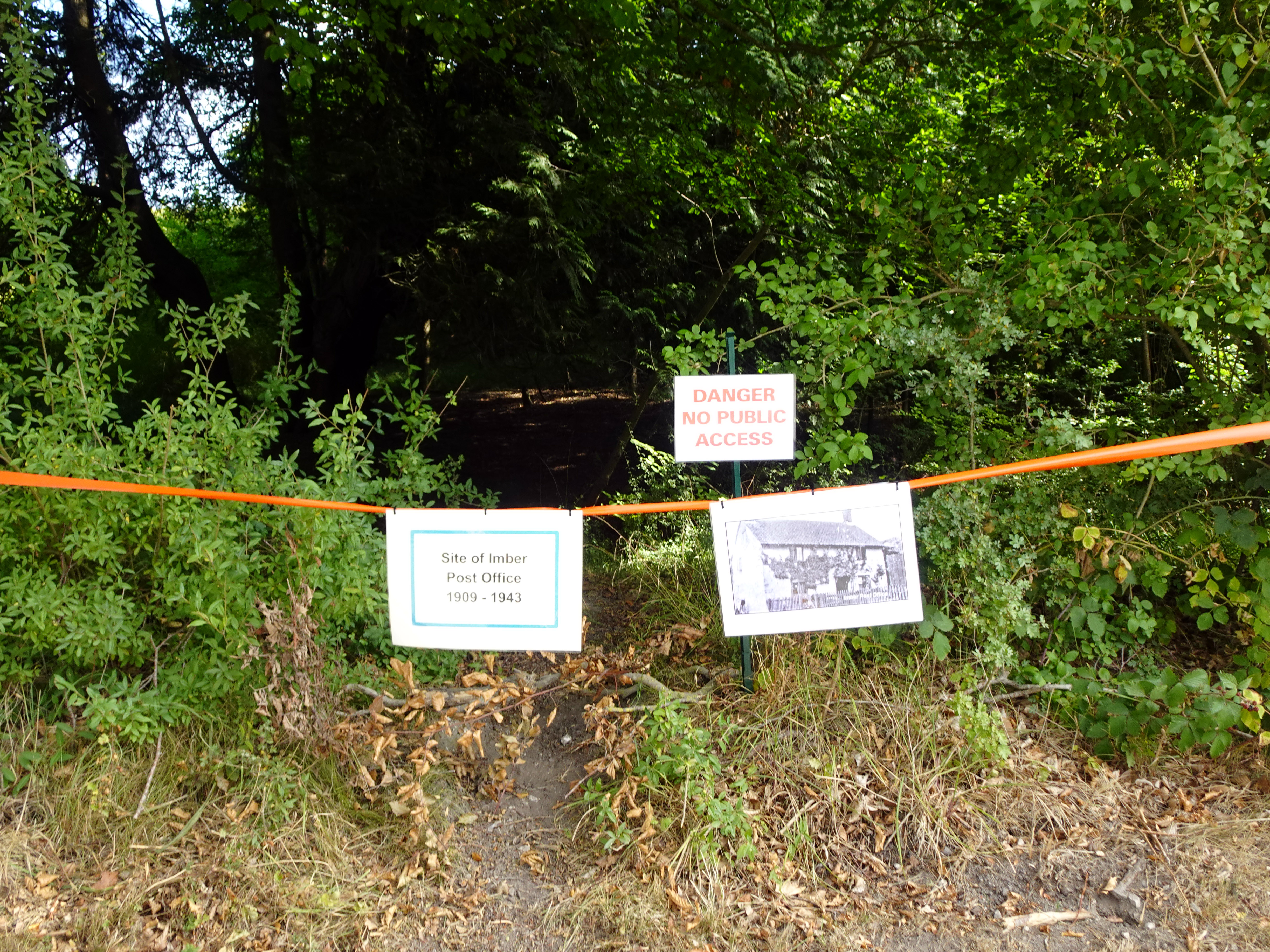
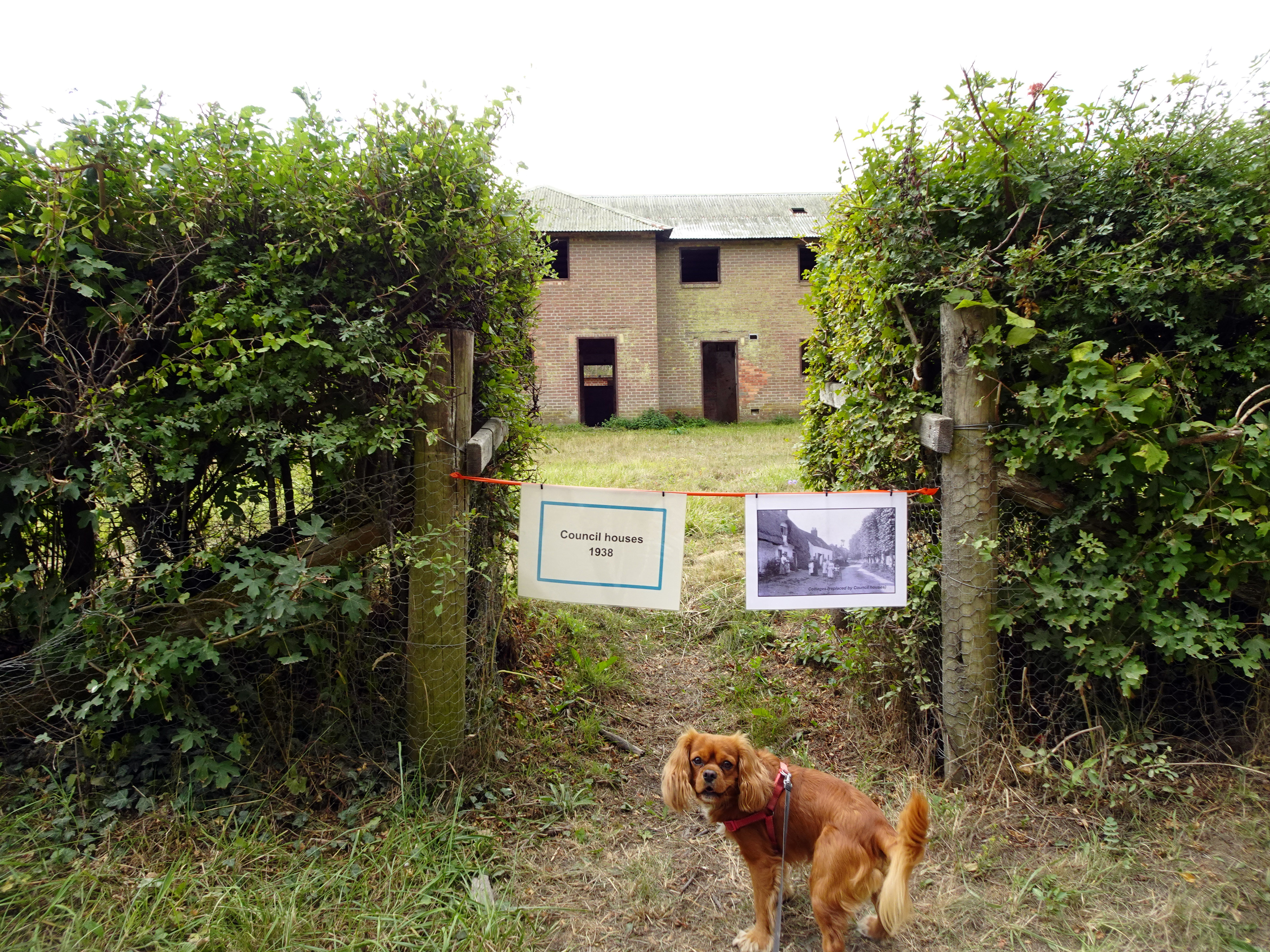
Imber was always remote. Salisbury Plain is a landscape of wide horizons and sparse settlement, and most of Imber’s residents were employed in farming or trades directly tied to agriculture. The village itself had an elongated, linear form, its main street following the course of a stream known as Imber Dock. By 1943, Imber was still a functioning community, with a Baptist chapel (built in 1839), a post office, a schoolroom, the Bell Inn pub, and the manor house, Imber Court. Four blocks of council houses had even been built in 1938, suggesting that the village had a future. But history had other plans.
The War Office had been buying land on Salisbury Plain since the late 19th century, initially to the east of Imber, and by the 1920s and 30s had acquired most of the farms around the village. Agricultural depression and the good prices offered by the military encouraged sales, and by the outbreak of the Second World War almost all of Imber’s land belonged to the War Office. On 1 November 1943, with preparations for the Allied invasion of mainland Europe underway, the villagers were summoned to a meeting in the schoolroom and given 47 days’ notice to leave. Imber was to be used by American forces — specifically the US 3rd Armoured Brigade — to practice street fighting. Families departed with heavy hearts, many believing they would return within six months. They never did.
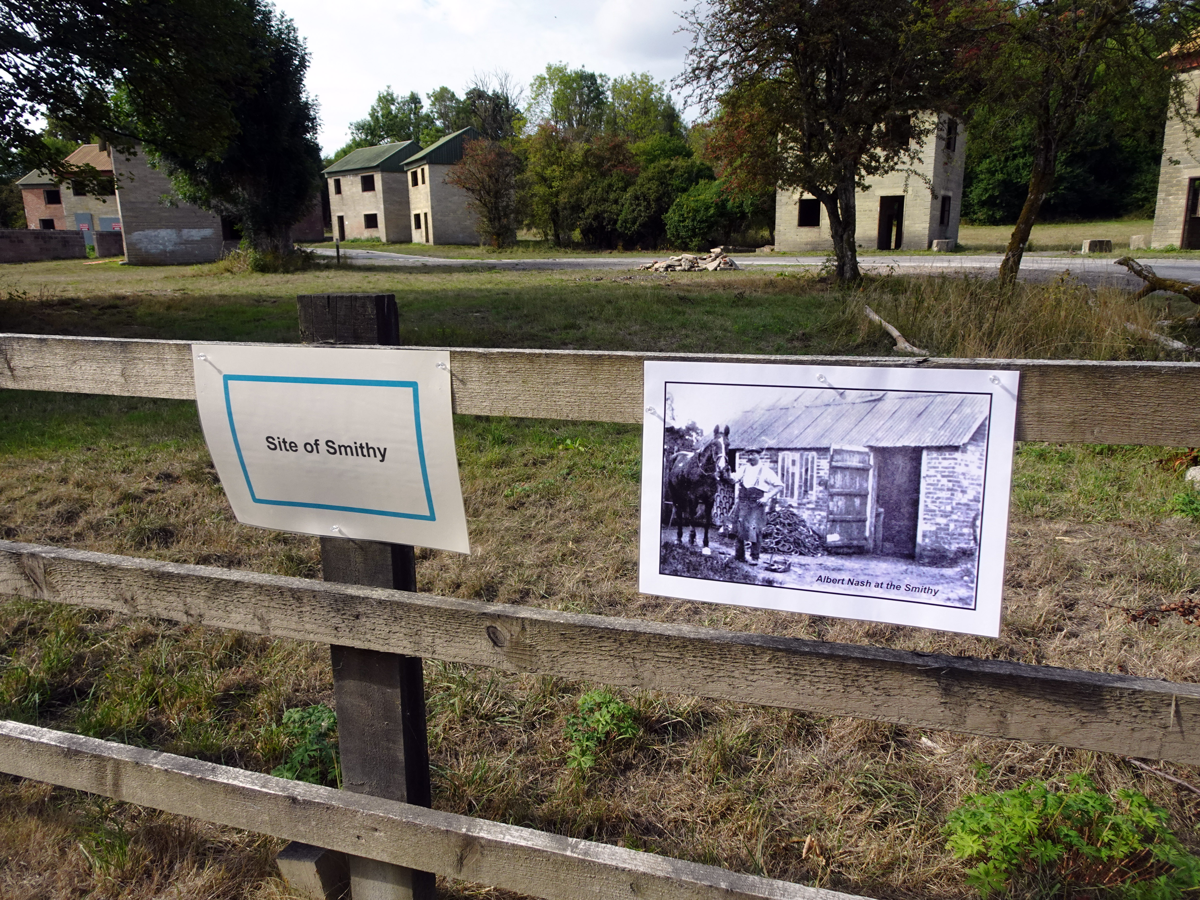
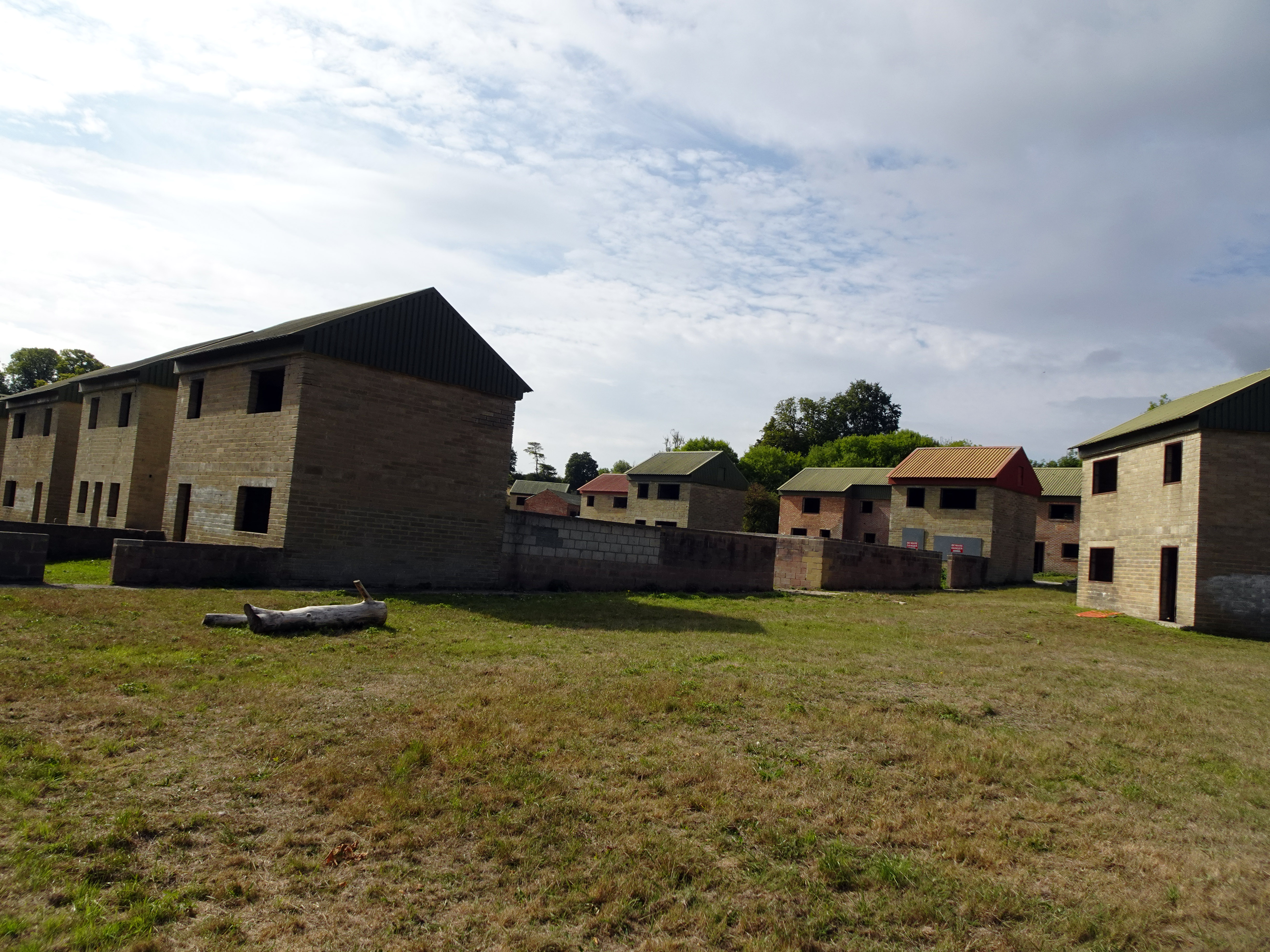
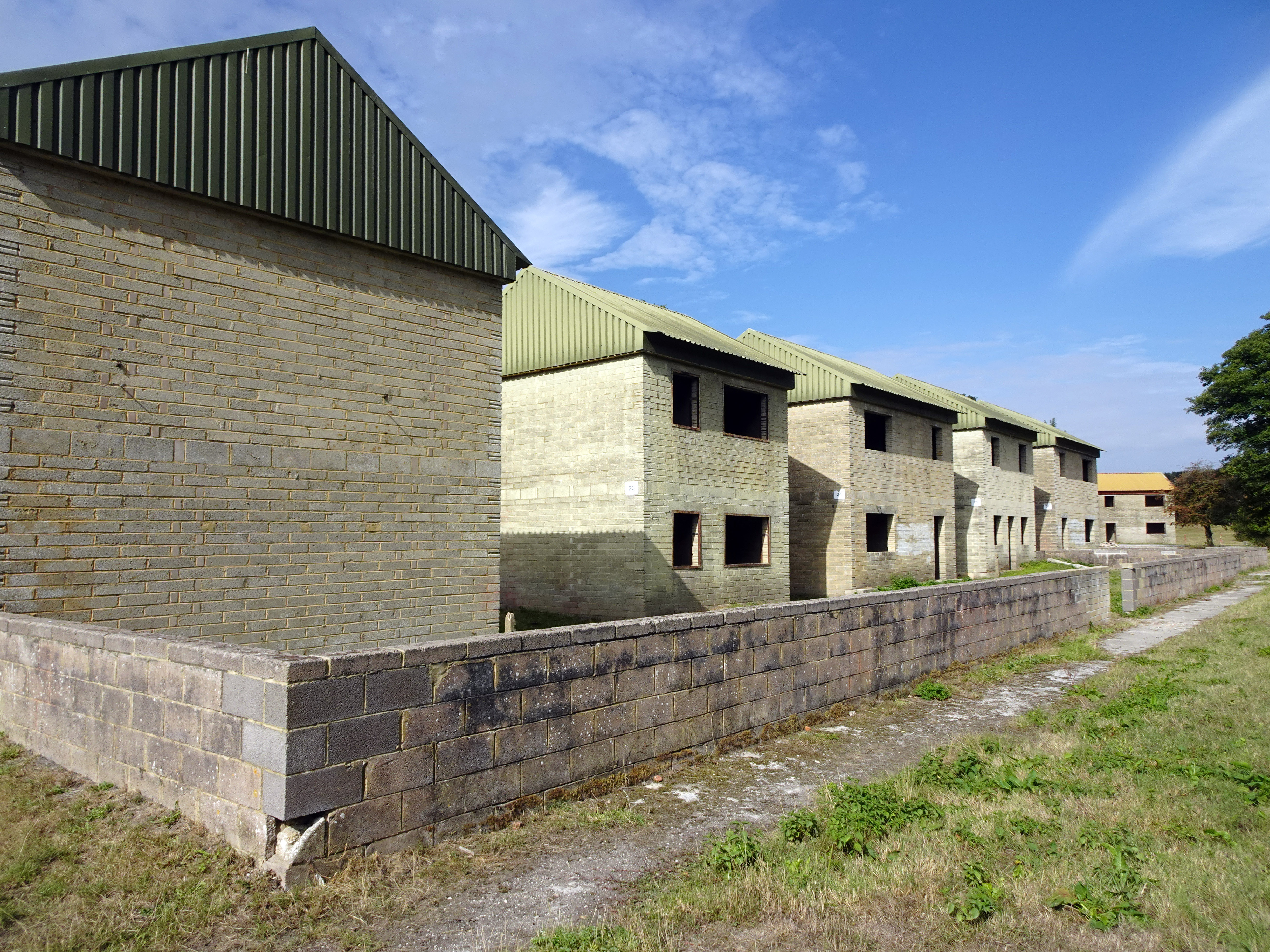
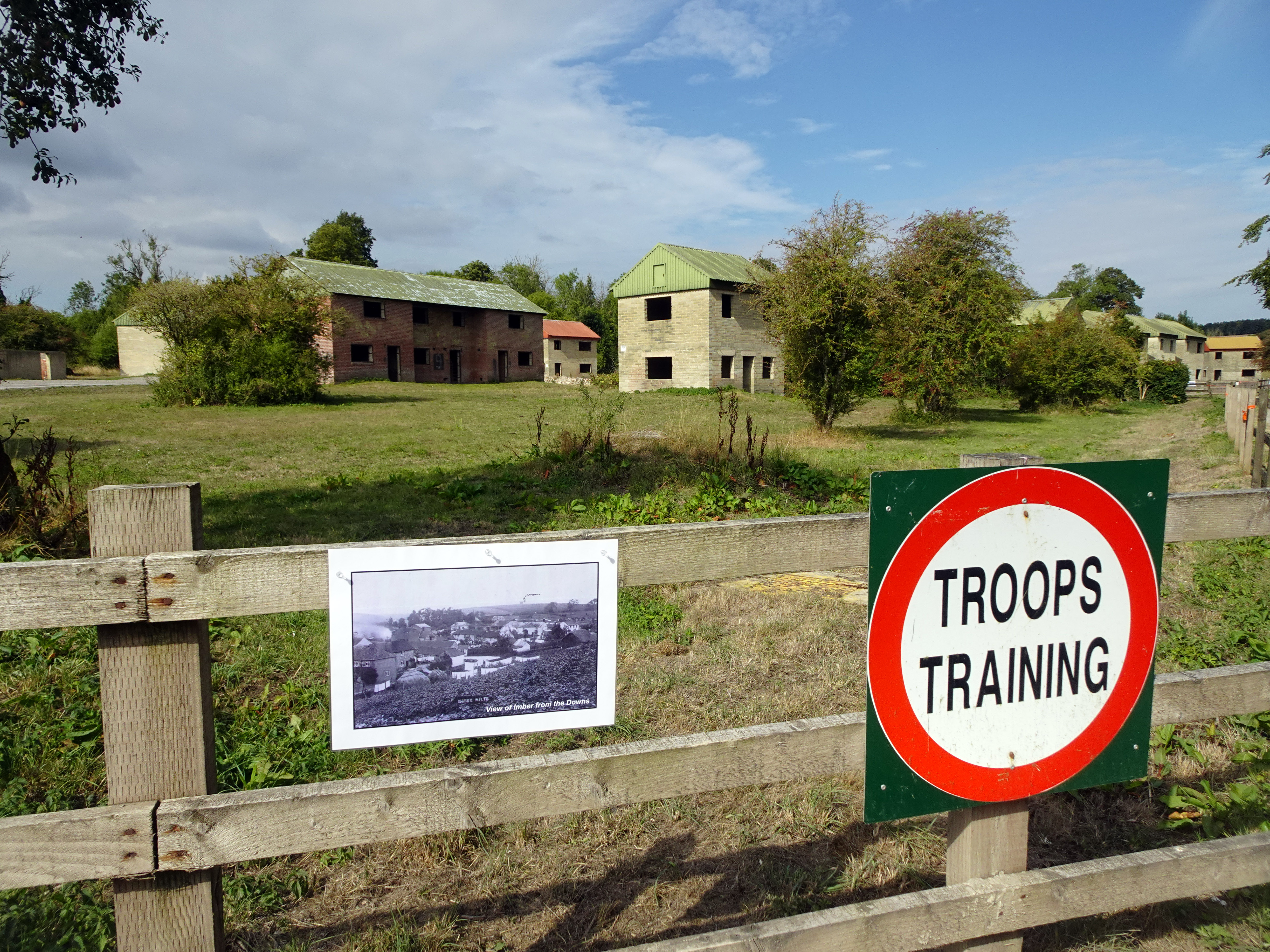
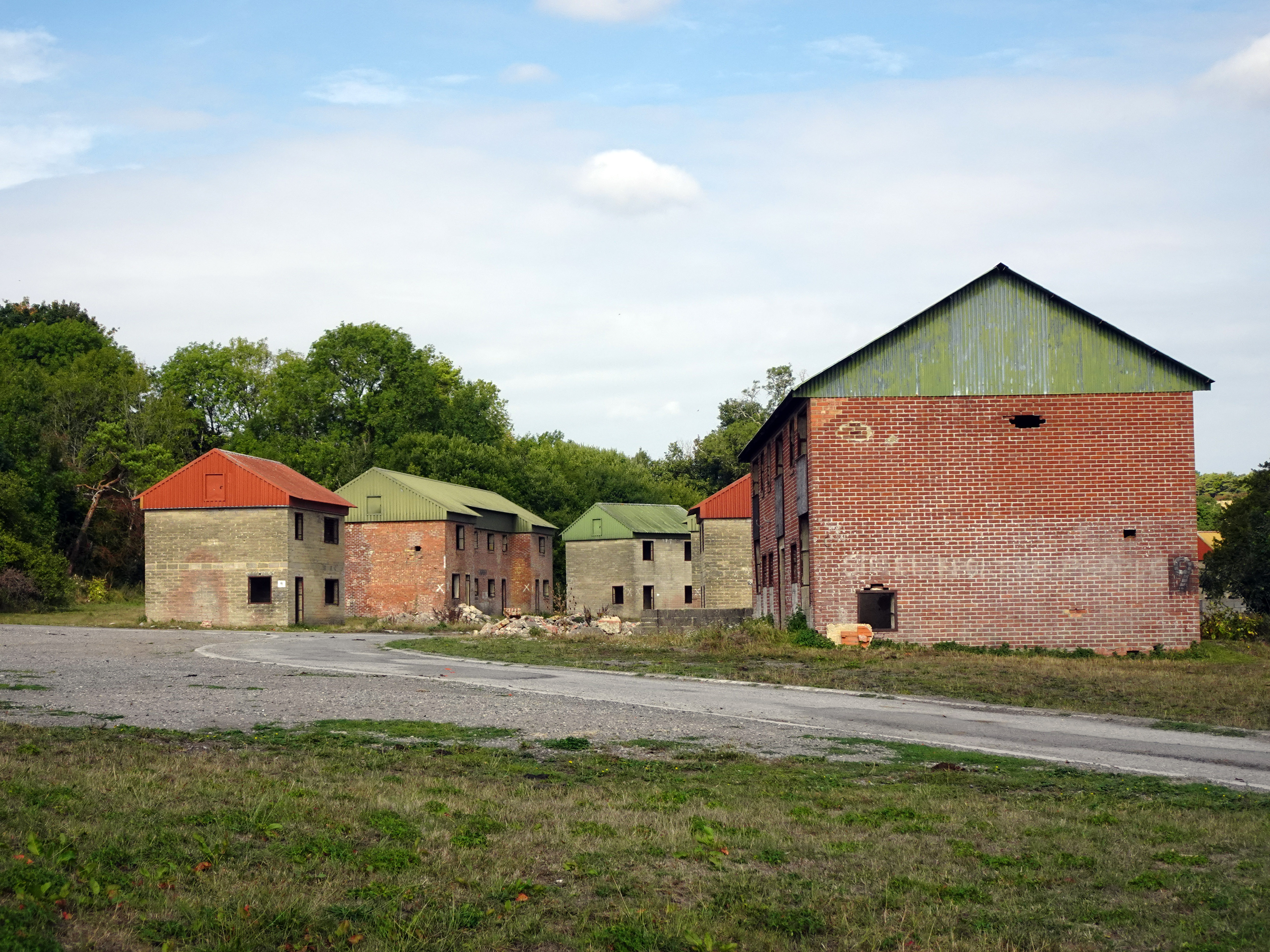
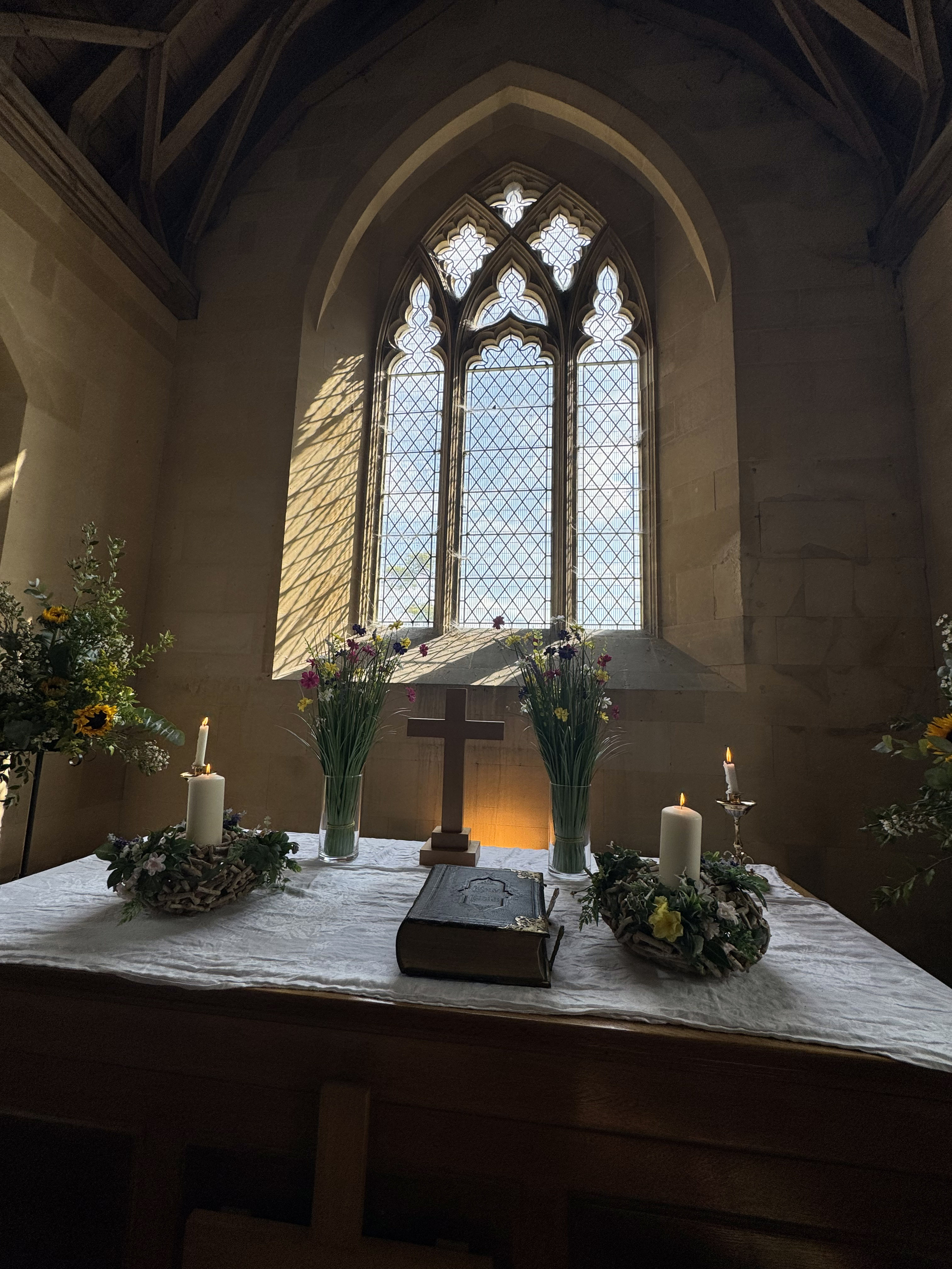
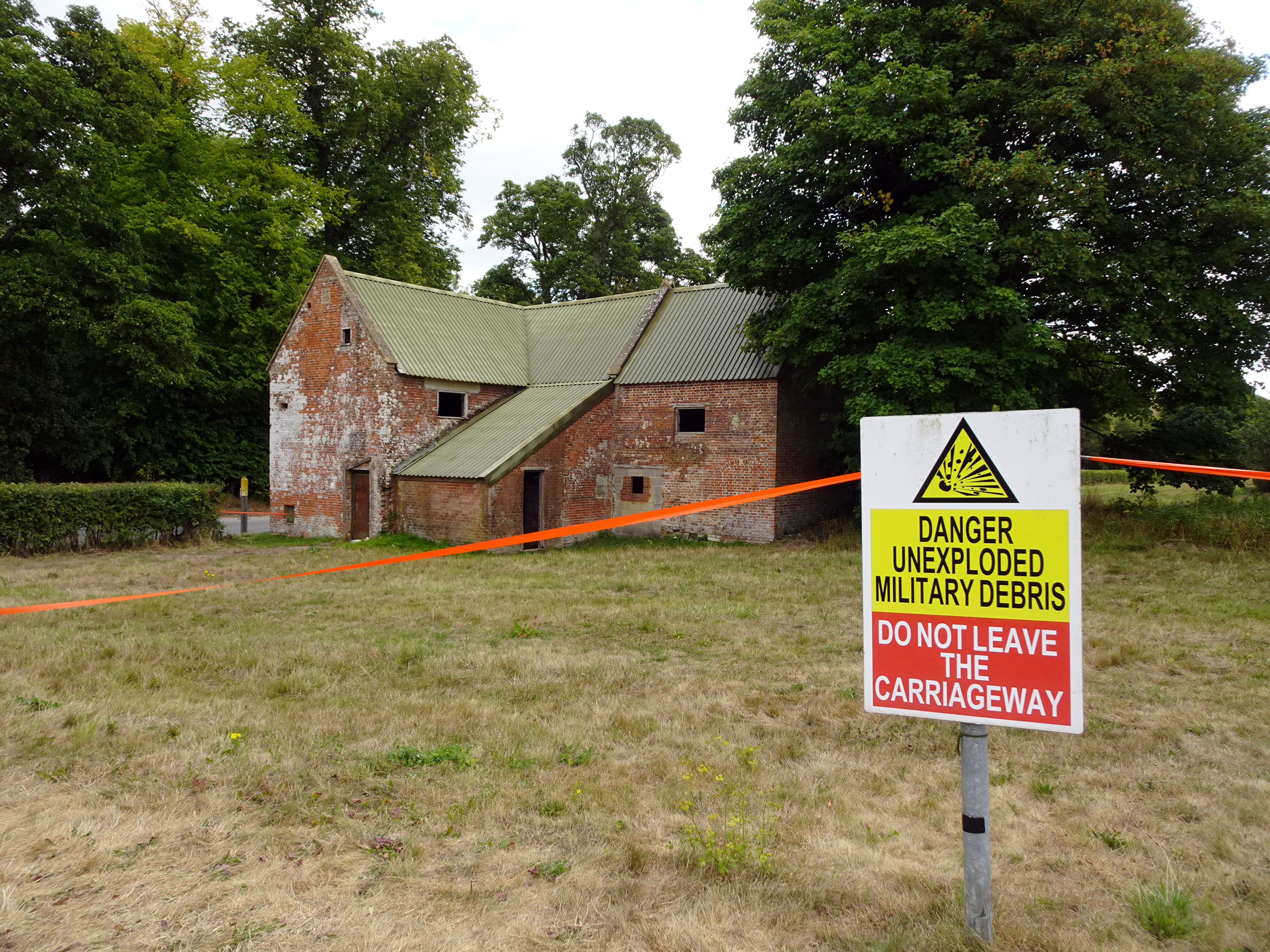
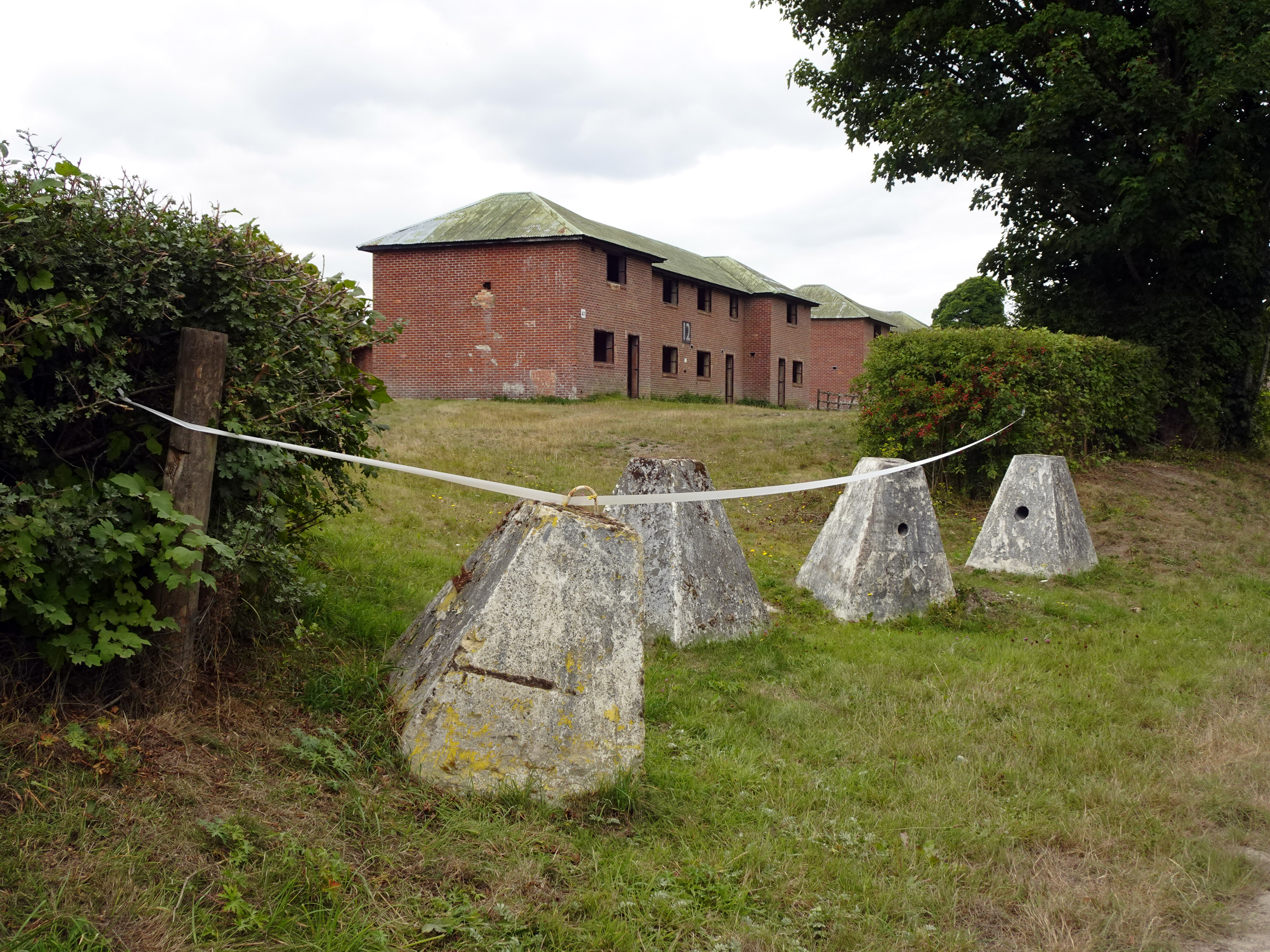
After the war, although physical damage to the village was relatively minor, the decision was taken not to relinquish control. A public inquiry confirmed Imber’s continued military use. The only concession was that St Giles Church would be maintained and opened for worship once a year, on the Saturday closest to St Giles’s Day — a tradition that continues. The church remains the only building preserved in reasonable condition; most others became derelict or were demolished. The Bell Inn still stands, as do Imber Court, a farmhouse, farm cottages, the schoolroom, and the four 1938 council house blocks. In the 1970s, additional house-like training structures were built to simulate urban environments, particularly for troops destined for Northern Ireland, and these stark shells now give Imber its eerie, half-preserved, half-destroyed character.
 |
|
|
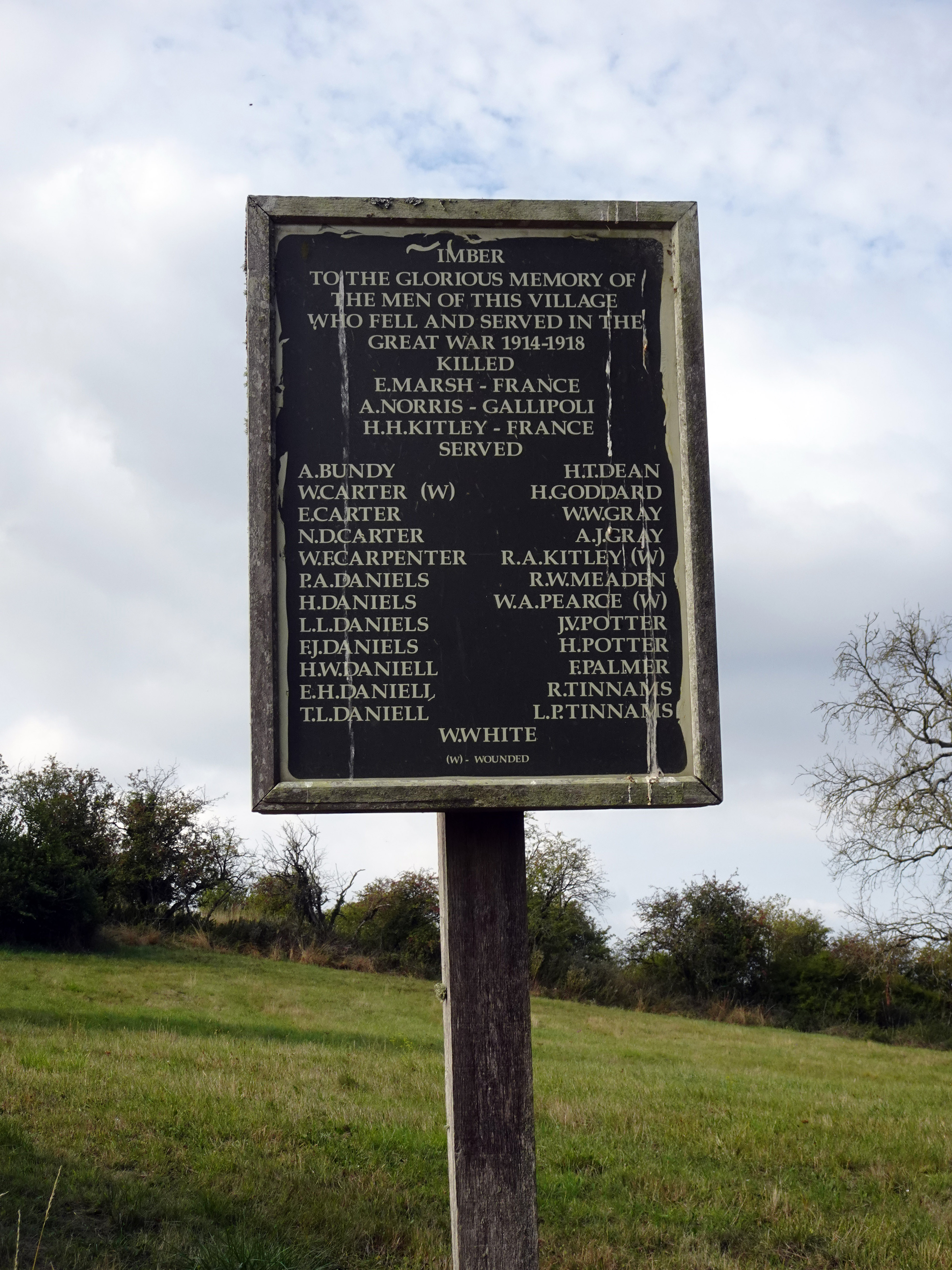
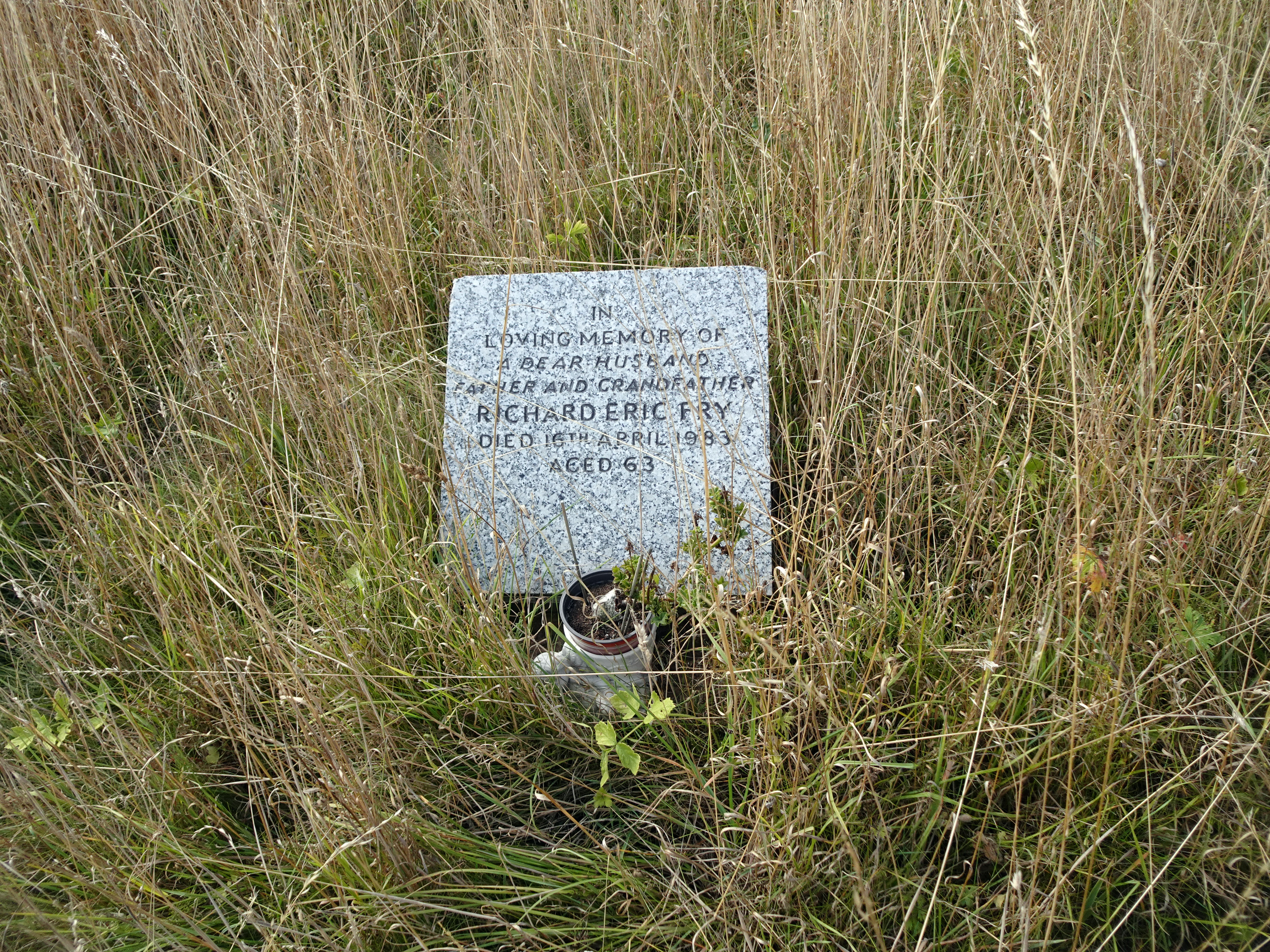
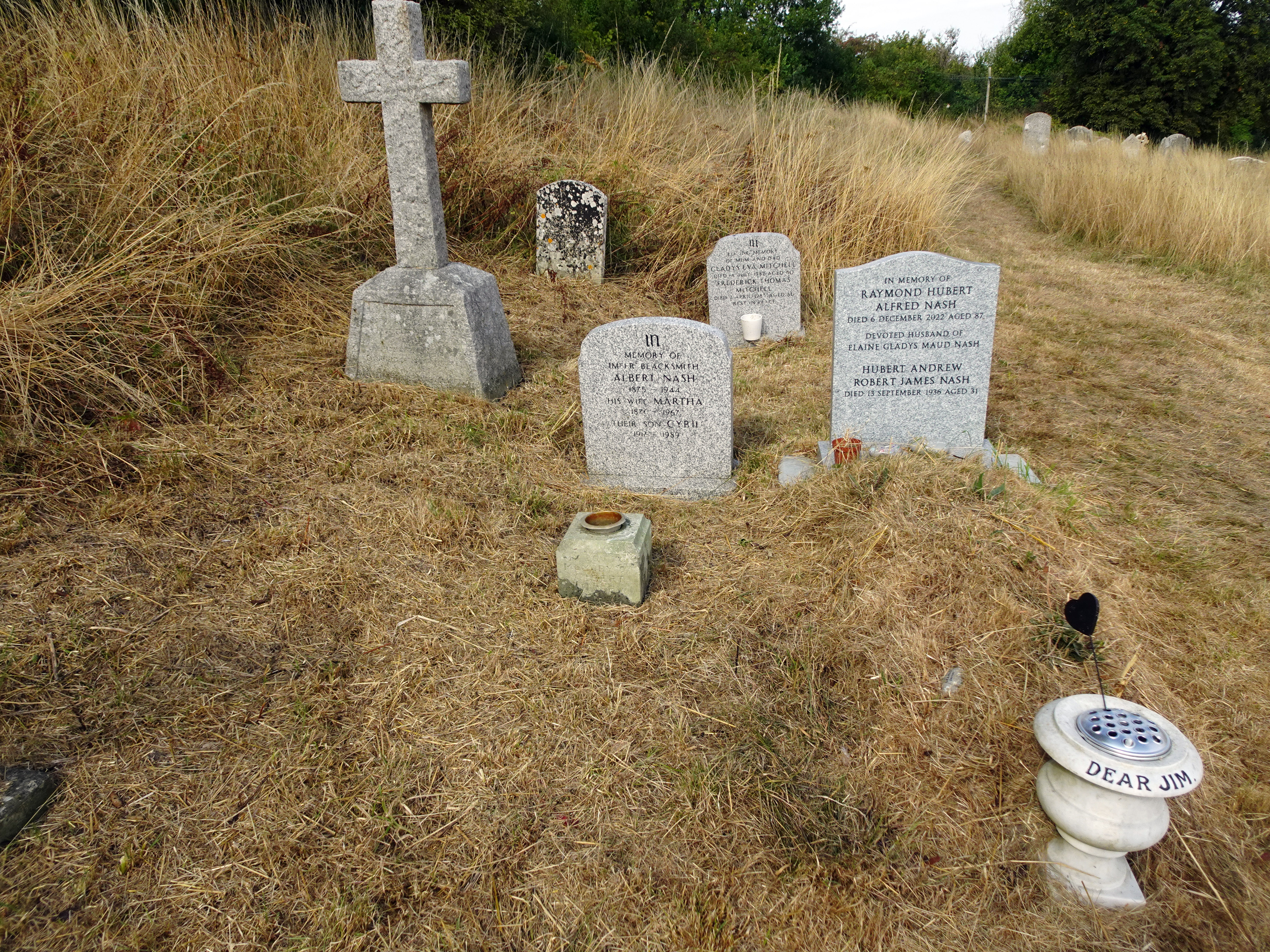
Walking through Imber today, I was struck by the presence of post-1943 graves in the churchyard. Though the villagers never returned to live here, many chose to be buried in their ancestral soil, or had descendants who did. It is a poignant reminder that Imber is not simply a military site, but a place of memory, continuity, and loss. The turnout of visitors was large, some of them descendants of those evicted in 1943, walking the lanes where their parents or grandparents had played. Photographs displayed in the church showed Imber as it once was — cottages with gardens, children in the lanes, the Baptist chapel before its demolition in the late 1970s. The images made the silence of the present village all the more haunting.
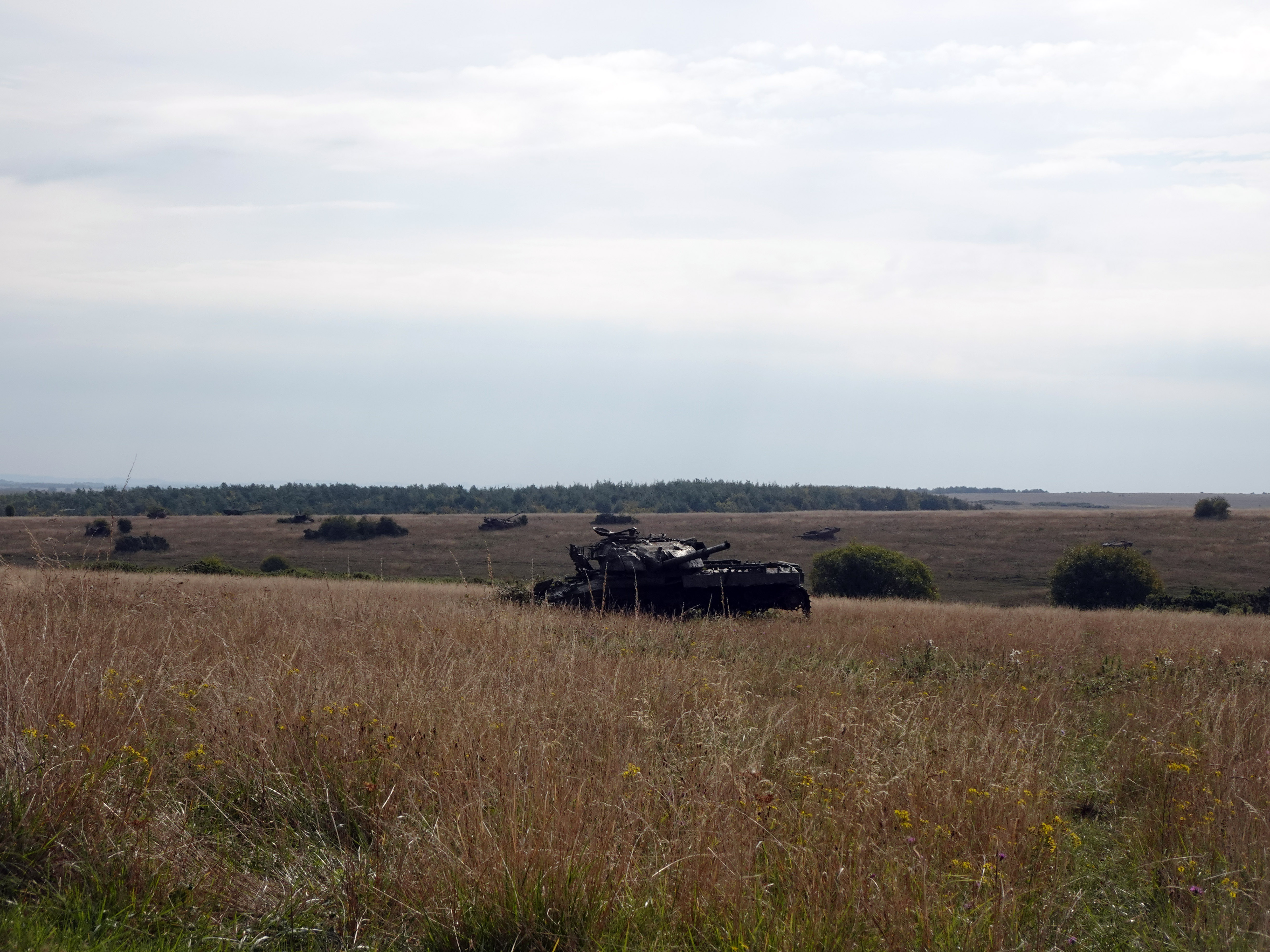
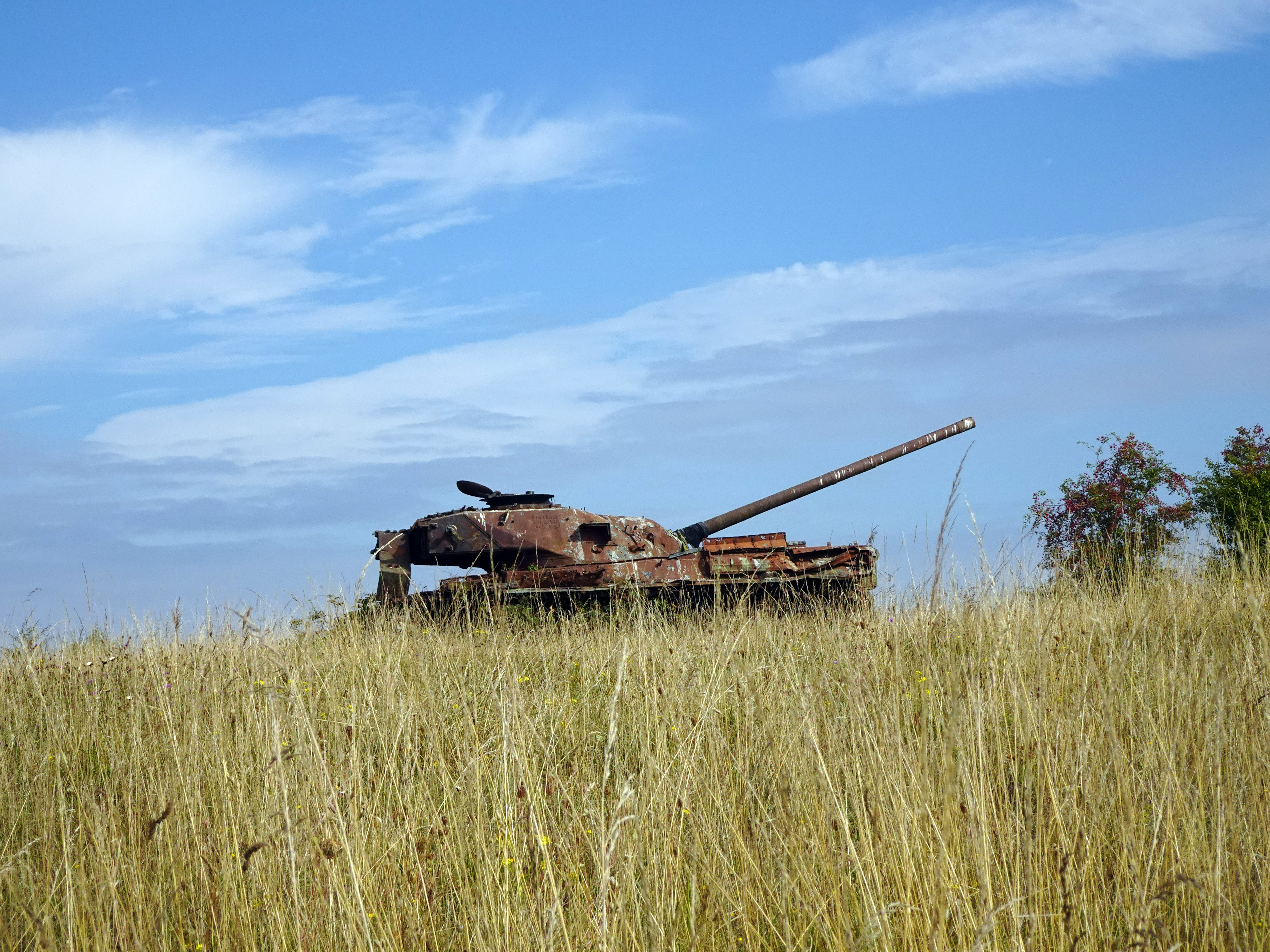
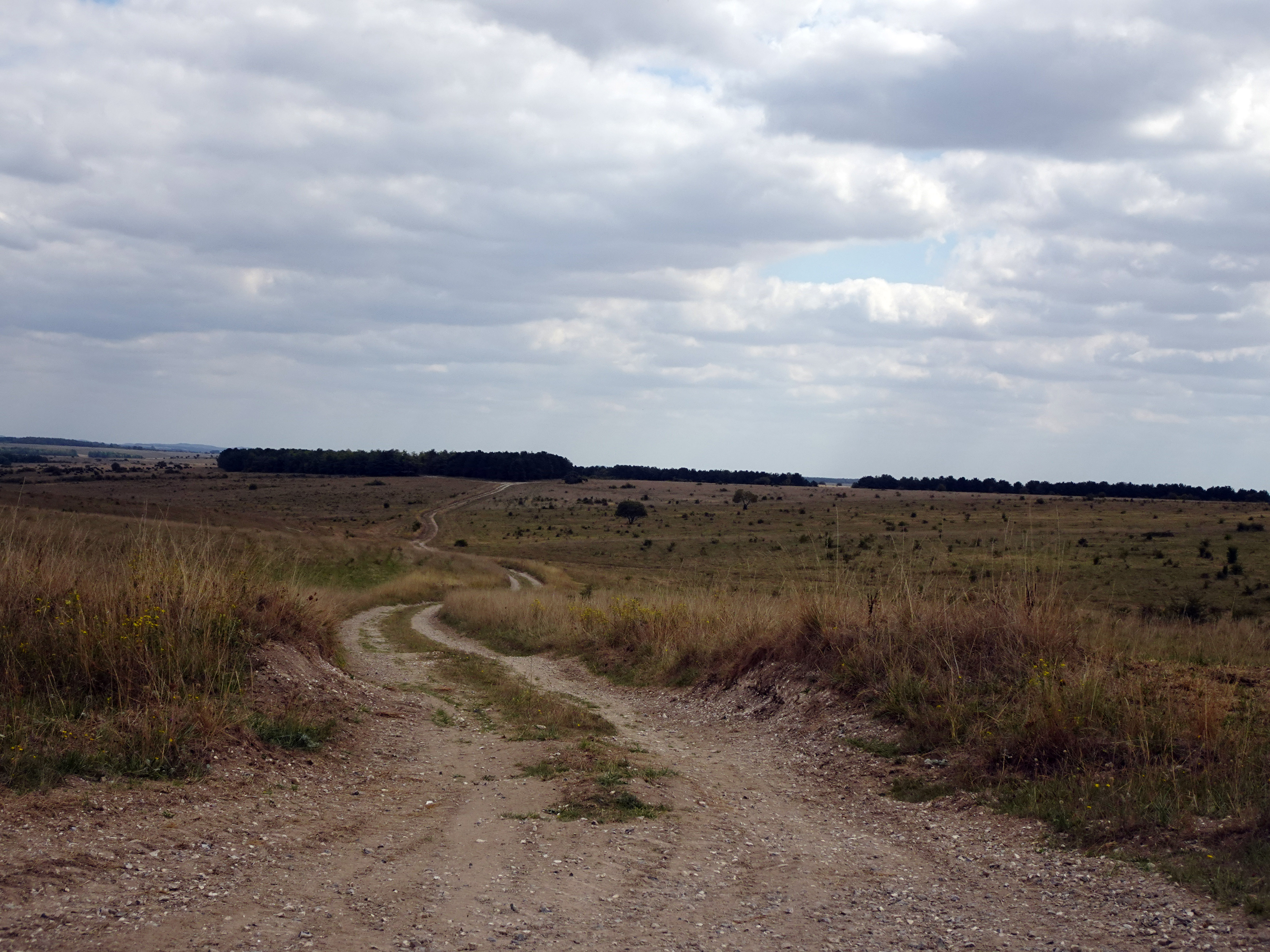
Even now, Imber remains relevant to modern conflict. We were told that Ukrainian forces have trained here in recent years, learning NATO techniques in the safety of Salisbury Plain. Driving in, the ranges were littered with churned-up targets and armoured hulks among the chalky downs — reminders that this is still a landscape of war. The approach itself felt like a passage through history, from Bronze Age barrows to Cold War training grounds to present-day preparation for distant battlefields.
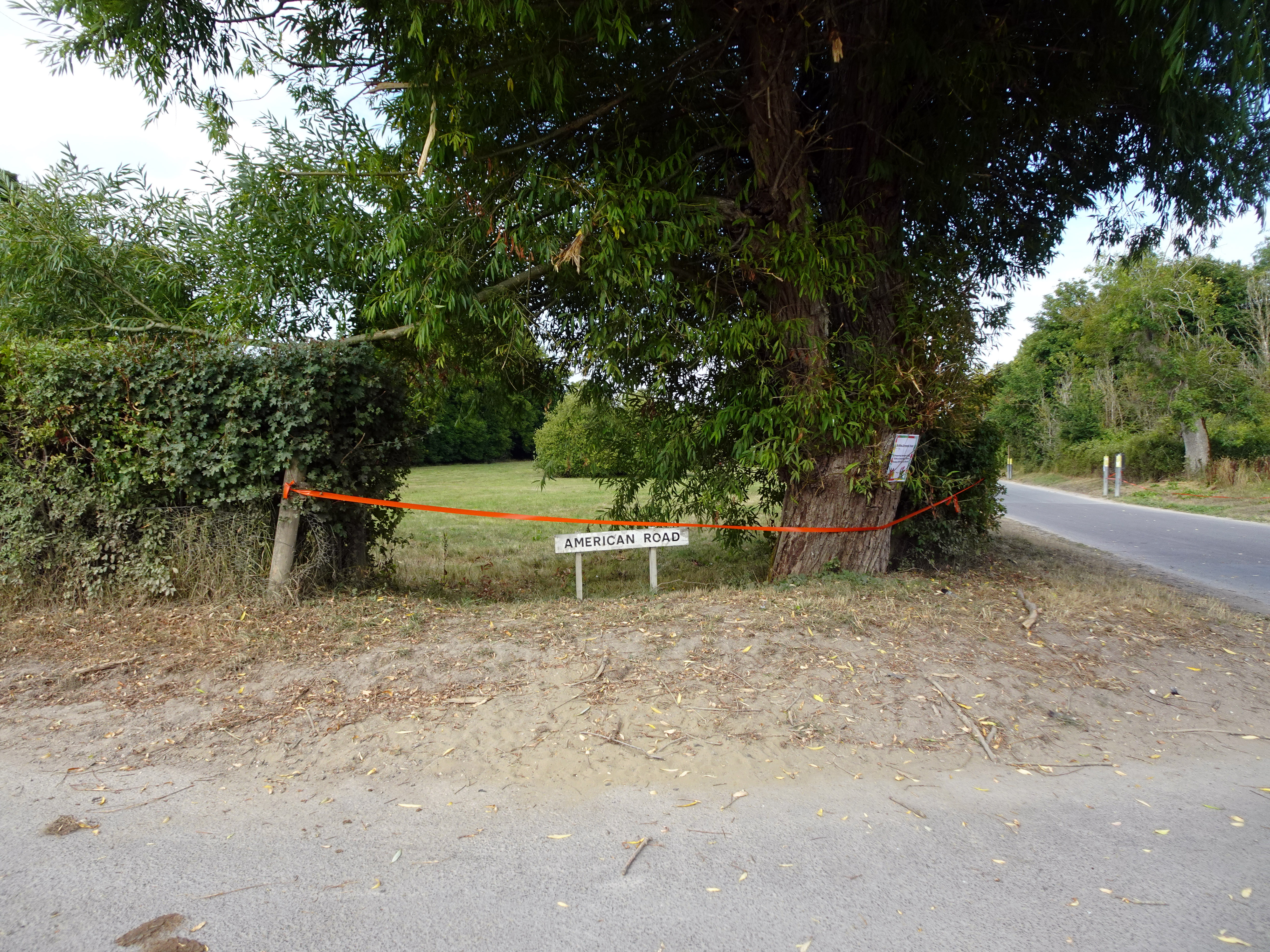
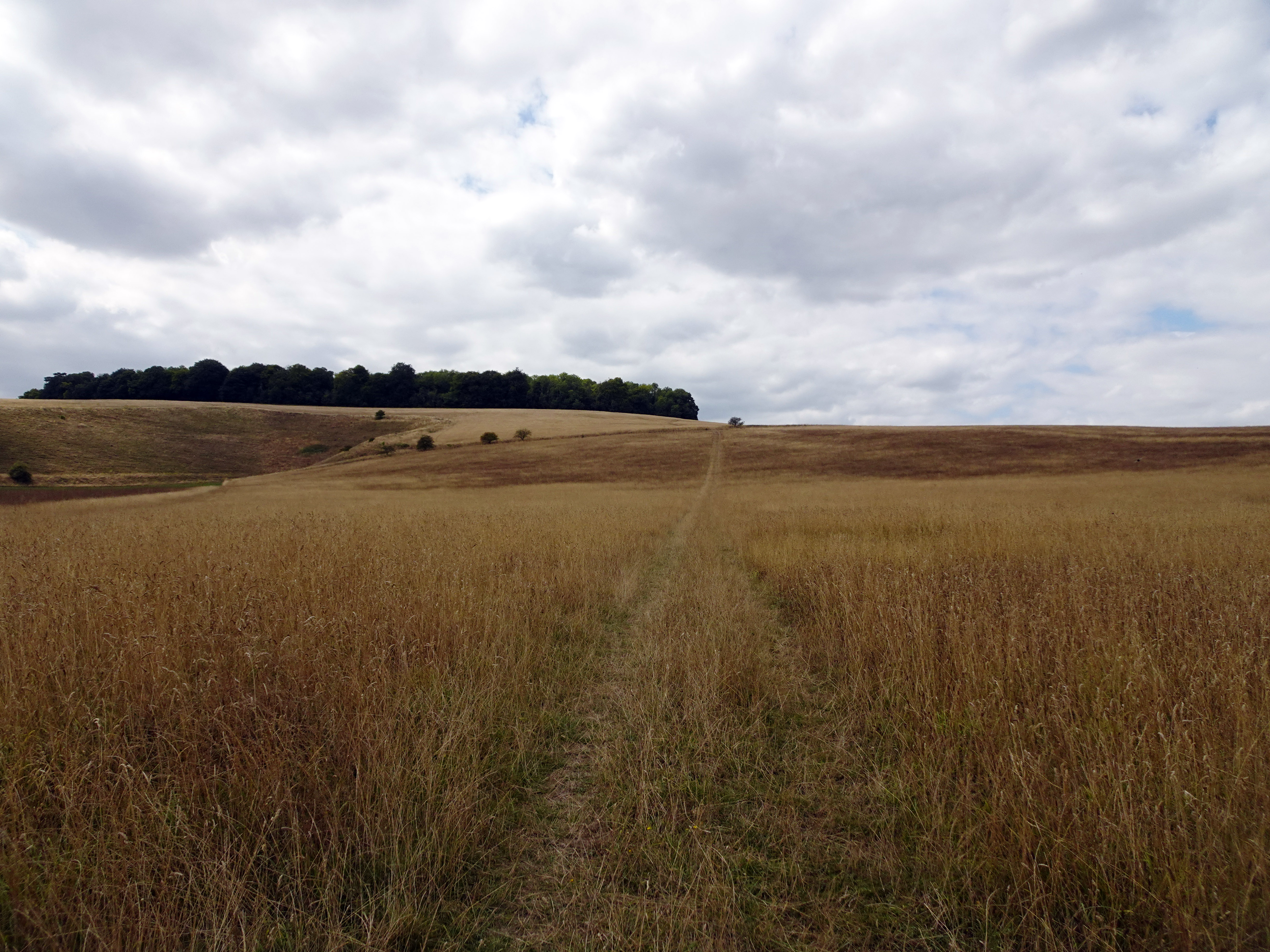
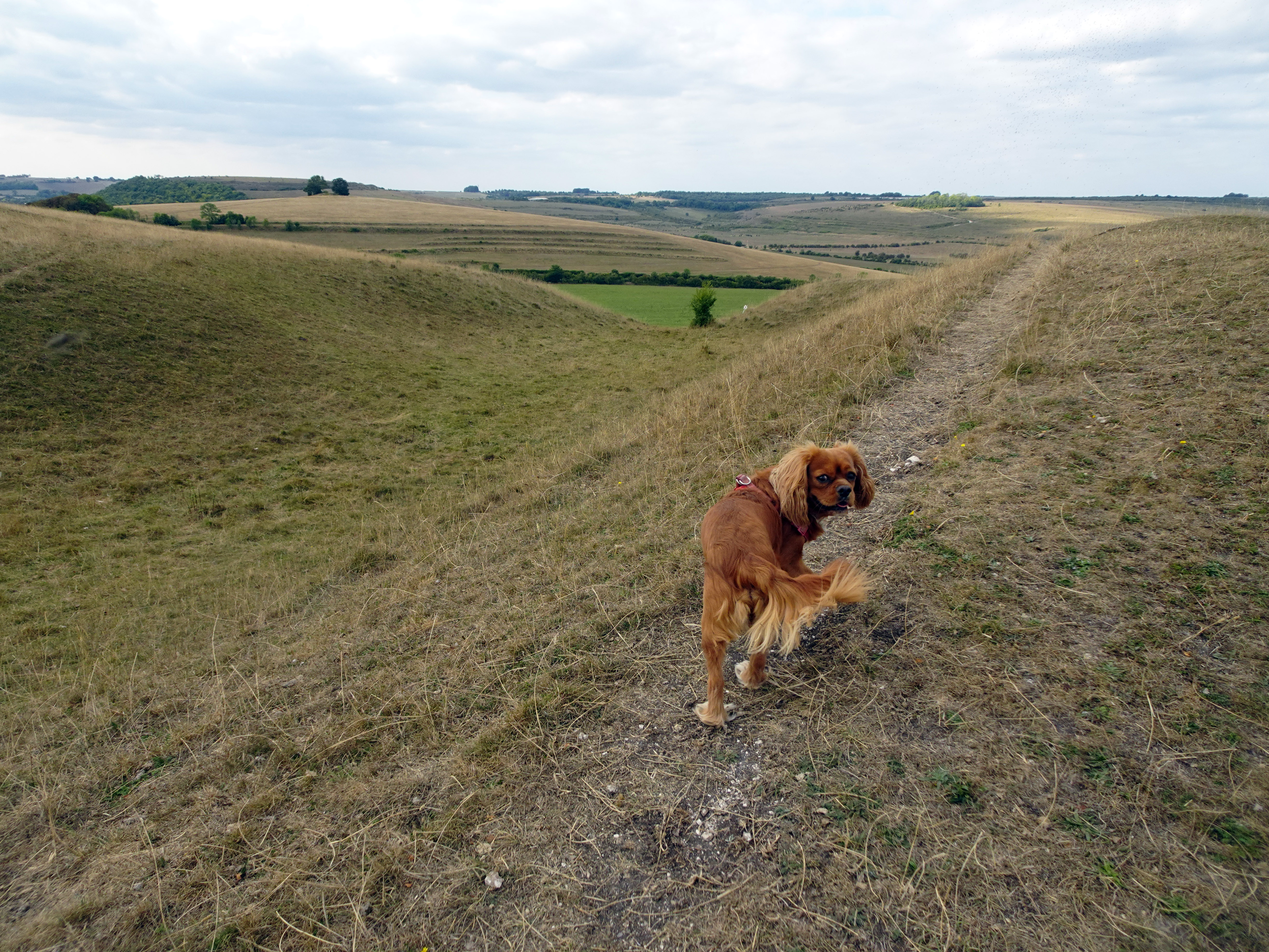
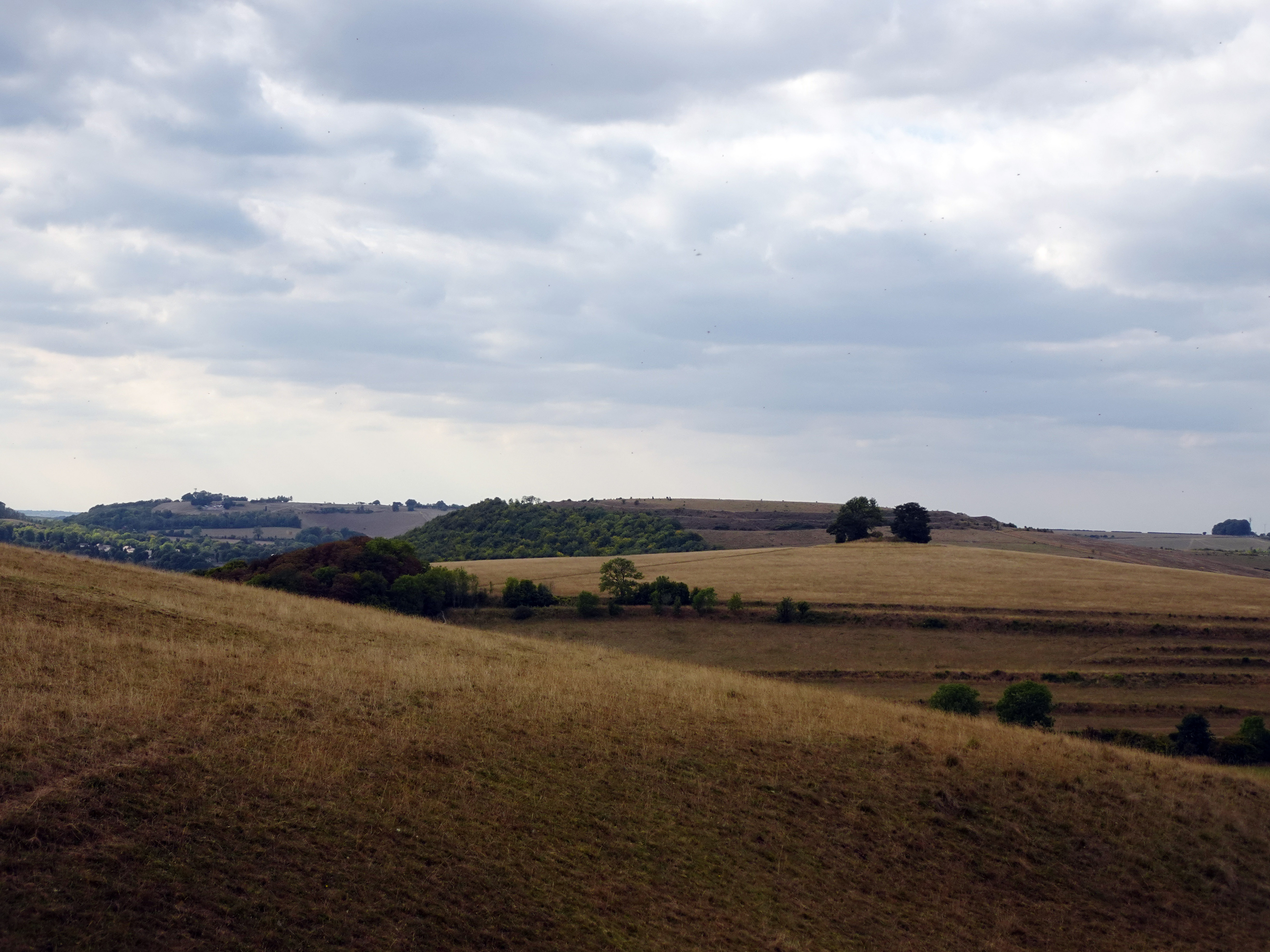
Leaving Imber, we followed the “American Road,” laid down by the US 3rd Armoured Brigade, towards Heytesbury. The track was rough and bumpy, but it carried us into gentler countryside. From there we joined the Wessex Way, walking among Iron Age hill forts and tumuli between Heytesbury and Warminster. The woods still bore traces of wartime training: fox holes dug decades ago, now softened by moss and leaf-fall. Yet the views to the south and west were glorious, the downs rolling away under a sky of shifting cloud. History and beauty seemed inseparable here.
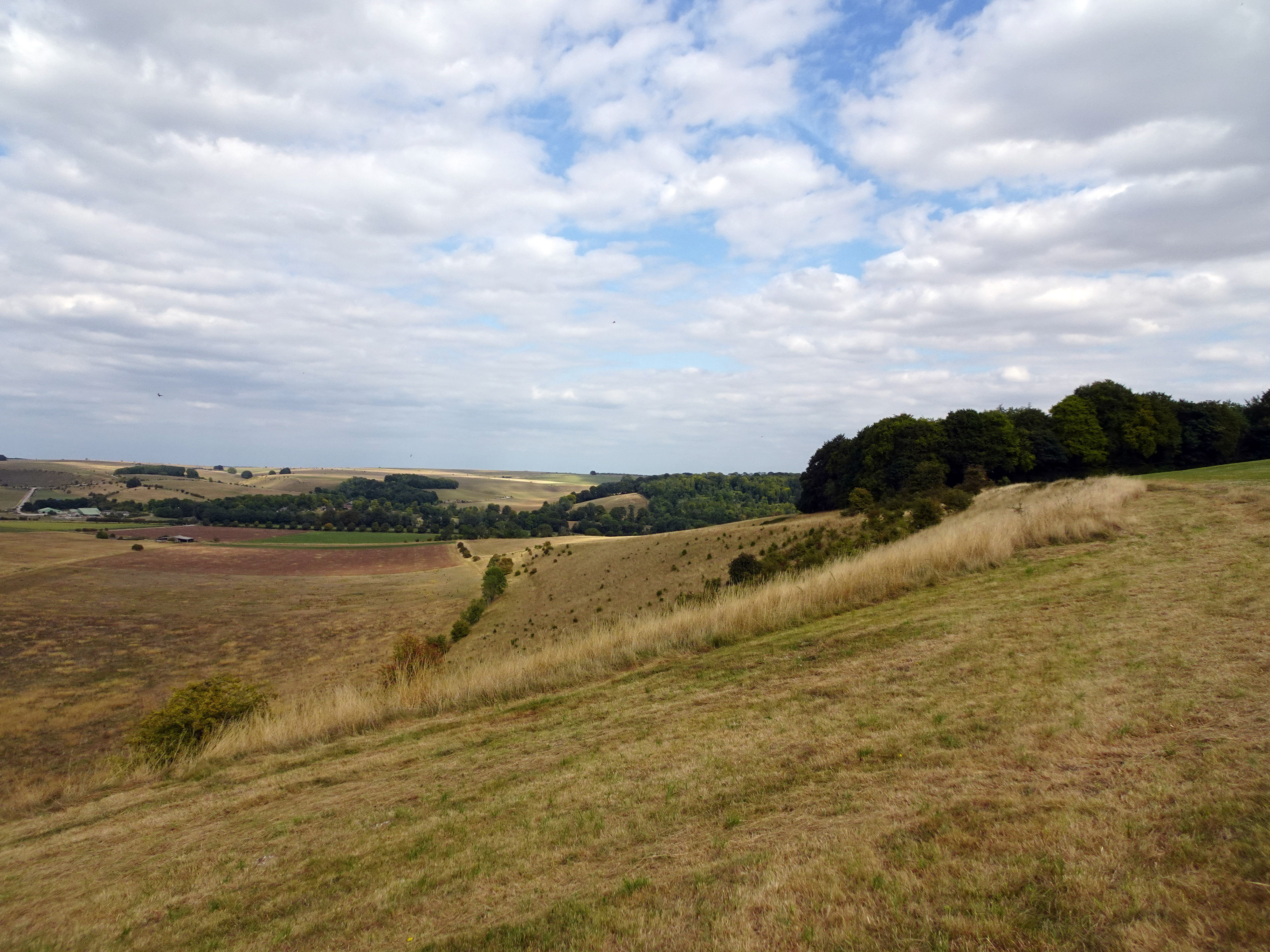
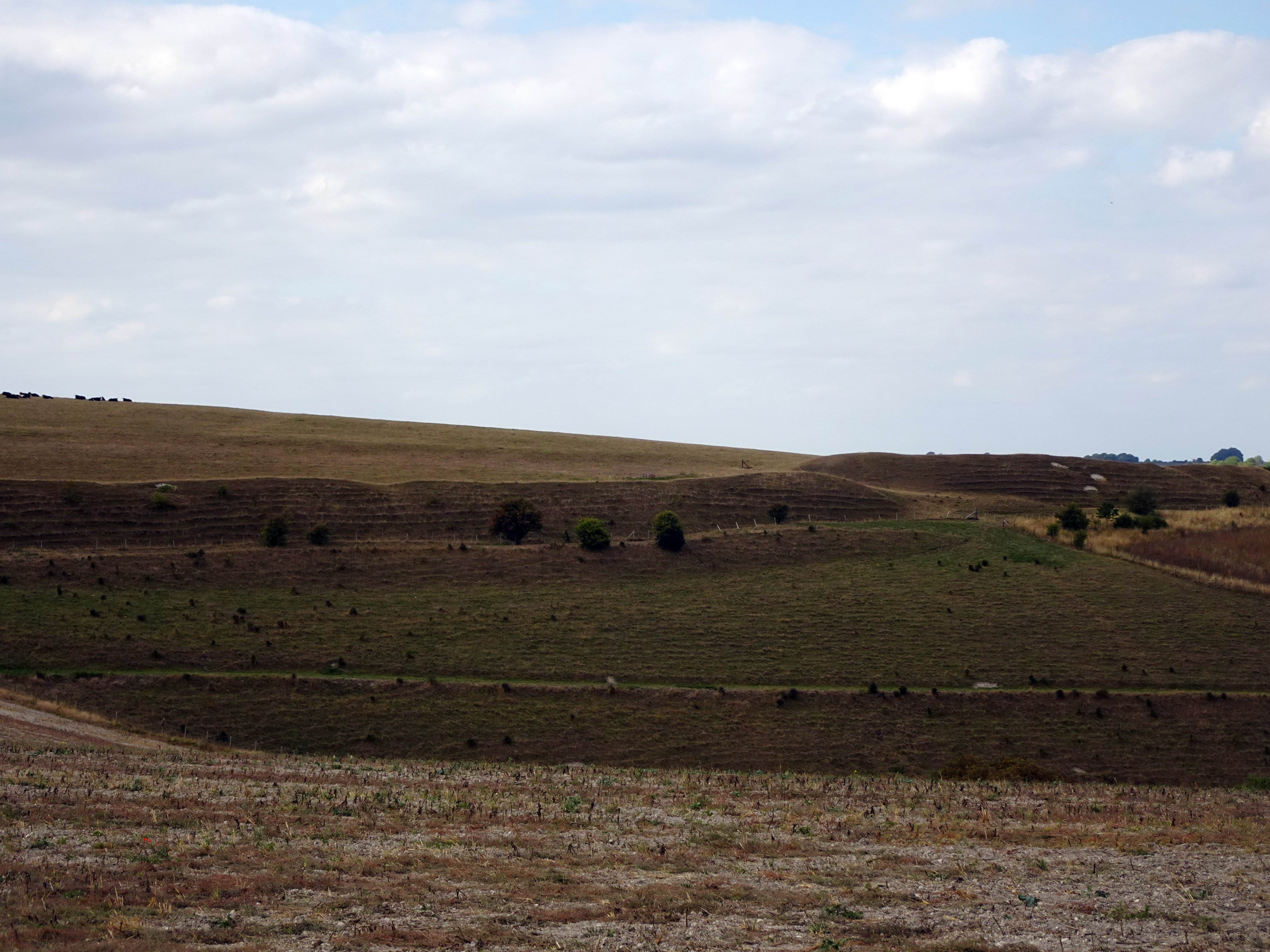
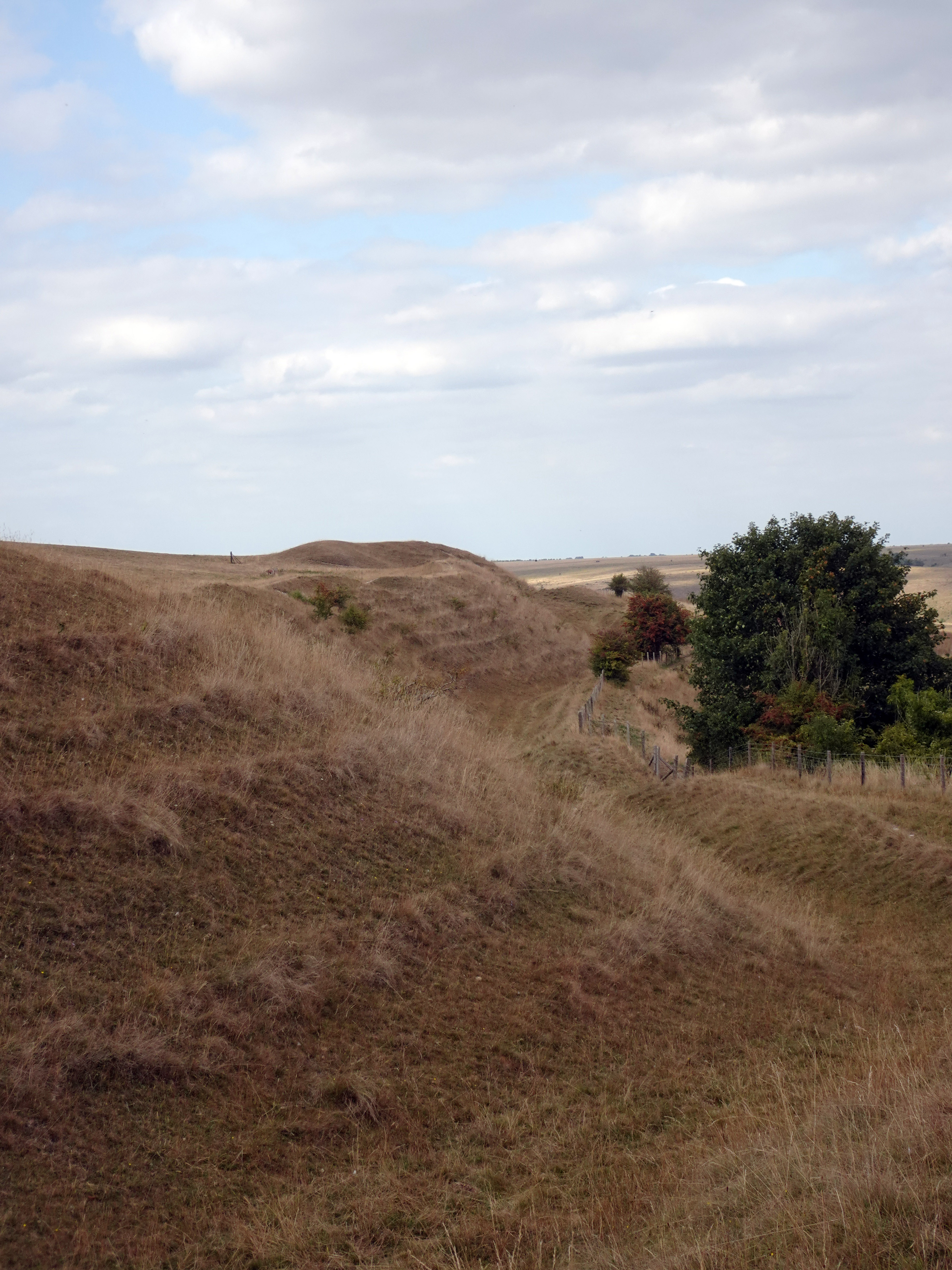
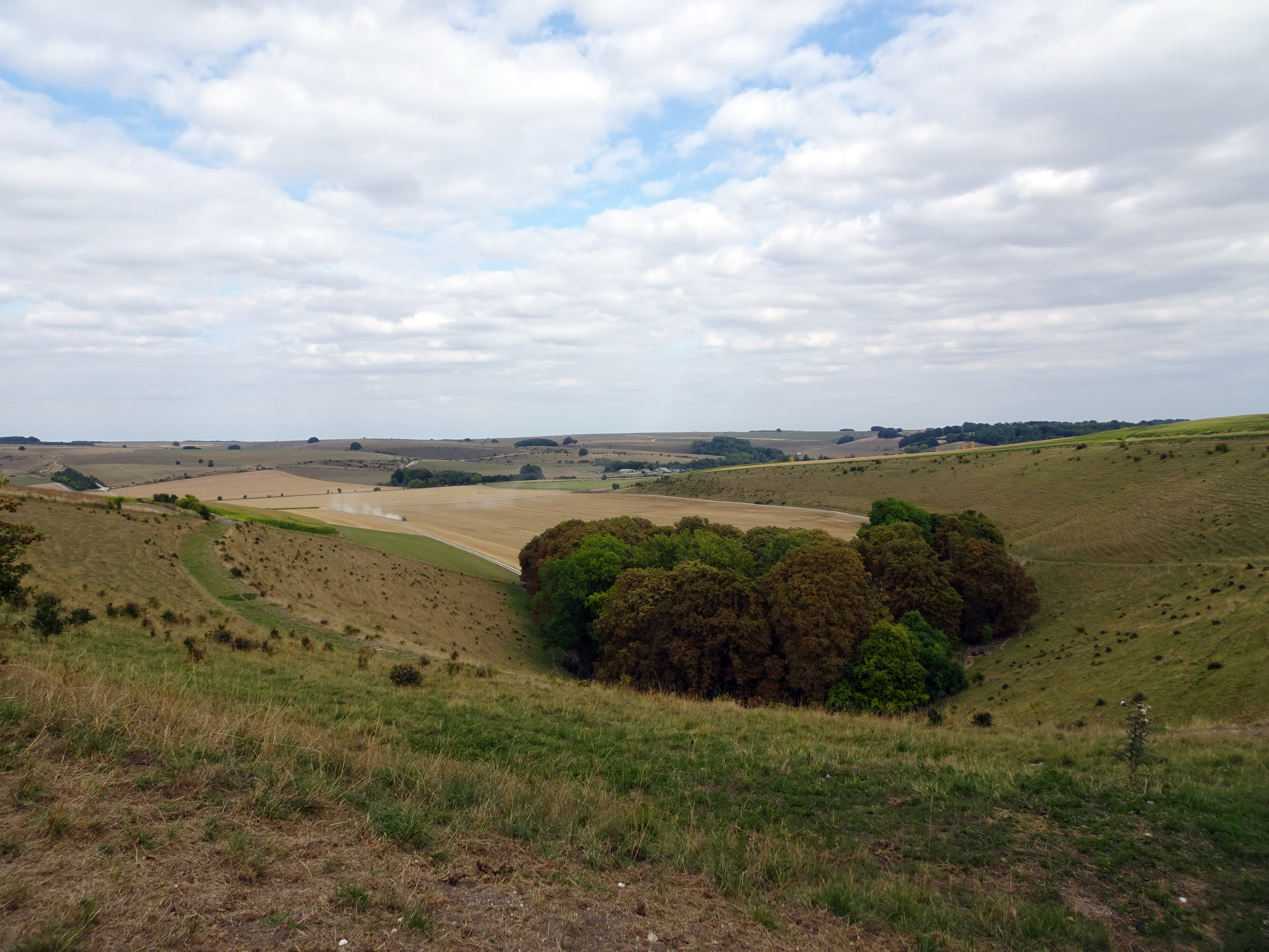
Scratchbury Camp crowns its hill with a great ring of earthworks — thirty-seven acres of ramparts and ditches holding the wind and sky. The steeply contoured sides form natural defences to the north, west and southwest, while the gentler eastern and southeastern flanks offer easier access and merge into Cotley Hill along a narrow saddle. To meet those vulnerabilities, Iron Age builders cut a single, massive ditch and threw up a rampart, adding counterscarps where the slopes were shallow. Measured at the ramparts, the fort runs to nearly 1,850 yards in circumference, a formidable envelope of earth and intent.
Walking the western side, the defences are at their strongest: a ditch five to eight metres wide, up to a metre deep, with uneven banks that suggest the labour of “gang-dug” construction. Elsewhere the enclosure is marked by banks three to six metres high above a ditch four to six metres wide, though on parts of the eastern perimeter the ditch vanishes, replaced by a broad ledge three to eight metres across. Two original entrances survive on the eastern side, approached from Cotley Hill along the slender ridge locals call Burberry, with a probable third entrance on the northwest.
Within the “quarry-ditch” earthworks — where material excavated from the inner ditch built the rampart — the interior tells its own story. Shallow circular hollows, five to ten metres across and up to sixty centimetres deep, pucker the turf: traces of perhaps a hundred structures, clustered most densely in the north and west. Near the western entrance a rectangular platform sits just inside the terminal; its position and shape hint at special use, plausibly a guard chamber watching traffic along the ridge. The effect, as you walk, is of a once-busy settlement held in the delicate impressions of its foundations.
Scratchbury’s complexity deepens at its heart, where faint banks and interrupted ditches sketch an earlier inner enclosure. First read as Neolithic, then reinterpreted as Iron Age around 250 BC, later surveys have swung the consensus back toward a Neolithic causewayed enclosure — sub-circular rather than D-shaped, with causeways visible in low winter sun and a likely link to the surrounding barrow cemetery. Whatever the final verdict, the sequence hints at multiple construction phases: an early inner work, a scarp suggesting re-alignment, and a final expansion to command the entire summit and the steep natural slopes.
 |
|
|
Finds from the hill tell of long occupation: polished flint and jade axes, socketed Bronze Age tools, Iron Age pottery, and Romano-British features overlaying the older lines. Seven bowl barrows lie within the ramparts, with a possible eighth just beyond, opened in the early 1800s by Sir Richard Colt Hoare and William Cunnington. Their records, though predating the three-age system, capture the richness of the burial ground; later excavations refined the dating but only deepened the site’s sense of layered time.
Standing on the turfed bank, larks ascending and cloud shadows drifting, it is easy to see why Siegfried Sassoon walked here from Heytesbury House during the Second World War. His poem “On Scratchbury Camp” finds the paradox of peace and conflict — larks praising freedom while fighter squadrons drone overhead. By chance, as I read his lines aloud, the unmistakable sound of a Spitfire cut through the air, its silhouette flashing against the clouds. Past and present seemed to fold together, the fort’s earthworks holding centuries of vigilance, poetry, and memory.
On Scratchbury Camp
Along the grave green downs, this idle afternoon,
Shadows of loitering silver clouds, becalmed in blue,
Bring, like unfoldment of a flower, the best of June.
Shadows outspread in spacious movement, always you
Have dappled the downs and valleys at this time of year,
While larks, ascending shrill, praised freedom as they flew.
Now, through that song, a fighter-squadron’s drone I hear
From Scratchbury Camp, whose turfed and cowslip’d rampart seems
More hill than history, ageless and oblivion-blurred.
I walk the fosse, once manned by bronze and flint-head spear;
On war’s imperious wing the shafted sun-ray gleams:
One with the warm sweet air of summer stoops the bird.
Cloud shadows, drifting slow like heedless daylight dreams,
Dwell and dissolve; uncircumstanced they pause and pass.
I watch them go. My horse, contented, crops the grass.
Our day was one of contrasts: a lost village reclaimed by soldiers, a churchyard where grief and continuity meet, a hill fort whose ramparts and hollows preserve the touch of ancient hands. Imber and Scratchbury remind us that landscapes are never static. They hold stories of displacement and endurance, of war and song, of sorrow and beauty. And for those few weekends when the gates open, visitors can step into that layered history — walking where villagers once lived, soldiers once trained, and poets once dreamed.
|