|
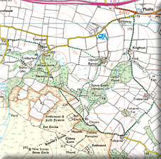
To say that Rupert and I went off‑grid on this particular walk is something of an understatement — even by our standards. Whilst exploring the upper Lynher river and noticed the remains of Upton Castle on our Ordnance Survey map. Unfortunately, it does not lie on common access land, although there is not one but two public footpaths fairly close to it. We decided to see if we could push our luck… all in the name of historical enquiry.
As we shall see, ‘Castle’ is a little grand for such a set of remains, although in historical terms it is very interesting indeed and actually a surprisingly rare form of fortification. It is what is known as a ‘Ringwork’, which is basically a fortified manor house with a ditch surrounding it. Defensively, it is also helped by the fact that the River Lynher lies not far away and loops around three of its sides. These fortifications were fairly common in the Anglo‑Saxon period, but this one appears to be the 12th‑century Norman residence of the Upton family. The fact that they had to build a defensible manor house is curious considering that it was over a century and a half since the Norman Conquest. This defensive layout may have more to do with the ‘anarchy’ of the wars between Matilda and Stephen in the 12th Century. There is reference to a John Upton, owner of Upton Castle in 1140 which coincides with the outbreak of hostilities between the two vying power blocks. We don’t know if John supported one side or the other or just wanted to stay out of it if at all possible. It is only later that the Upton family relocate just a couple of hundred yards to the north to a more fitting and less defensively minded manor house, which itself was built over by Upton Barton, a large farmhouse which still stands to this day. Nine centuries later, getting to it was still an ordeal, although nature had more to do with this than its defensive positioning and constructed defences.
|
|
|
We started our quest in Plusha, very close to the A30. We saw that two footpaths passed by and so planned to try from each end of the wood to see if we could access it. We started by heading south to a little collection of houses that was once the farm of Knighton. Coincidentally, one of them was open and showcasing handmade tweed items. It was very interesting to see their work, which is apparently located in what was a Victorian gin house — far away from any customs officers and serving the local farming community! No wonder that a large temperance movement grew up in this part of Cornwall, spurred on by members of the Methodist community. The couple who opened their premises/house to us were charming, and she showed us her wares sold under the name Pohutukawa, and he explained that he regularly tests the Lynher, which runs very nearby, for purity and gave us some hints on our ‘mission’, which was to prove fortuitous.
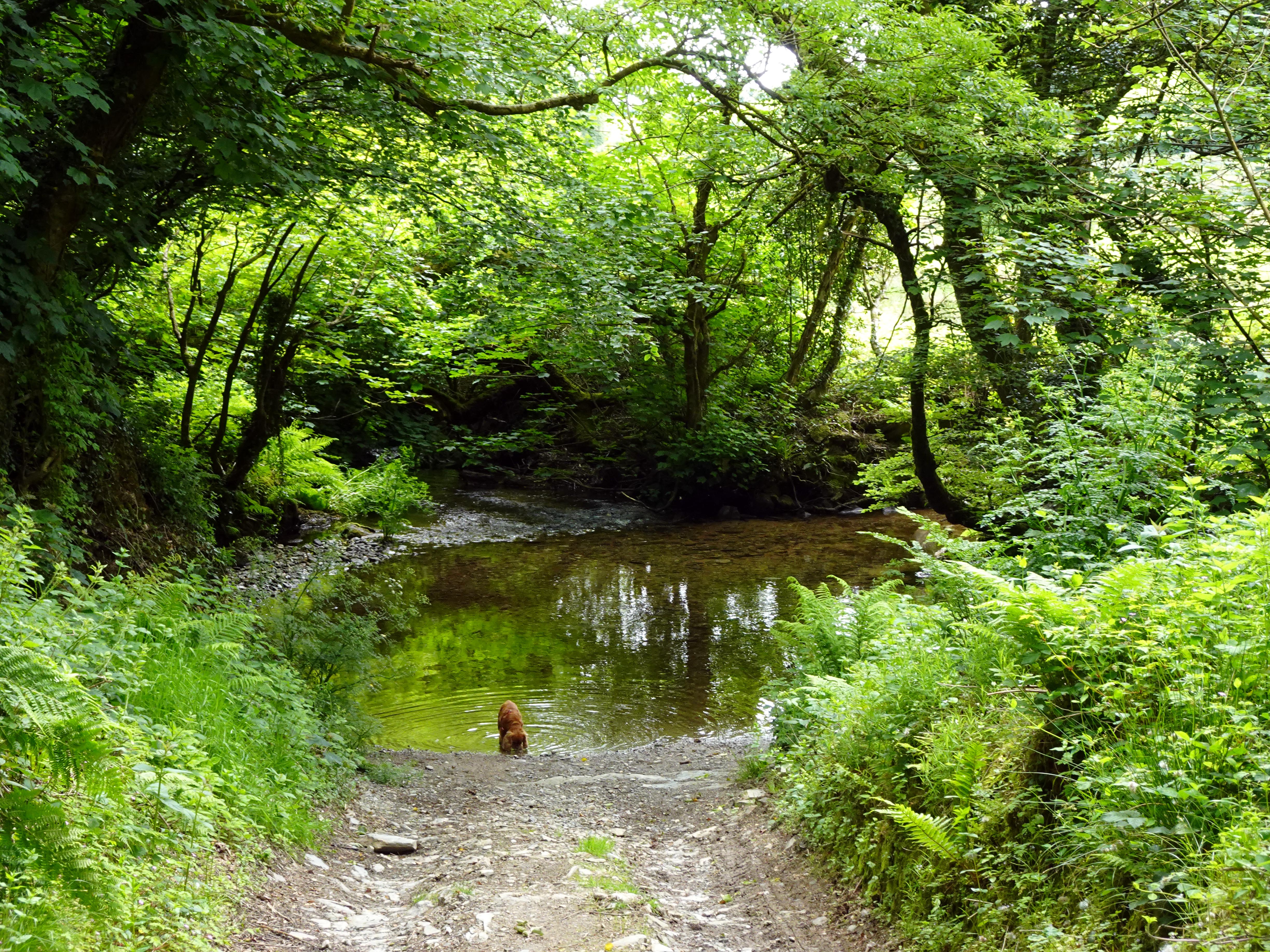
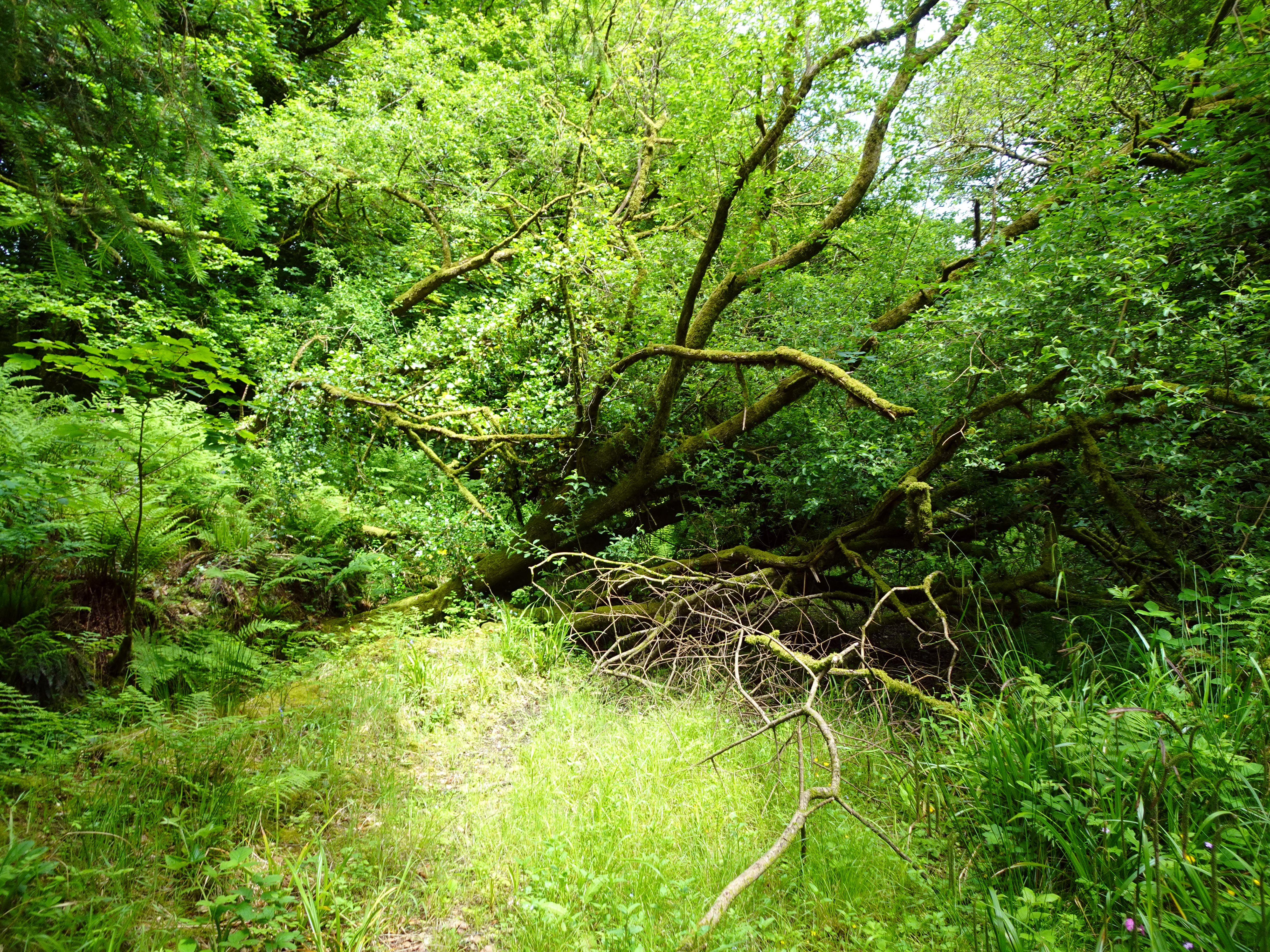
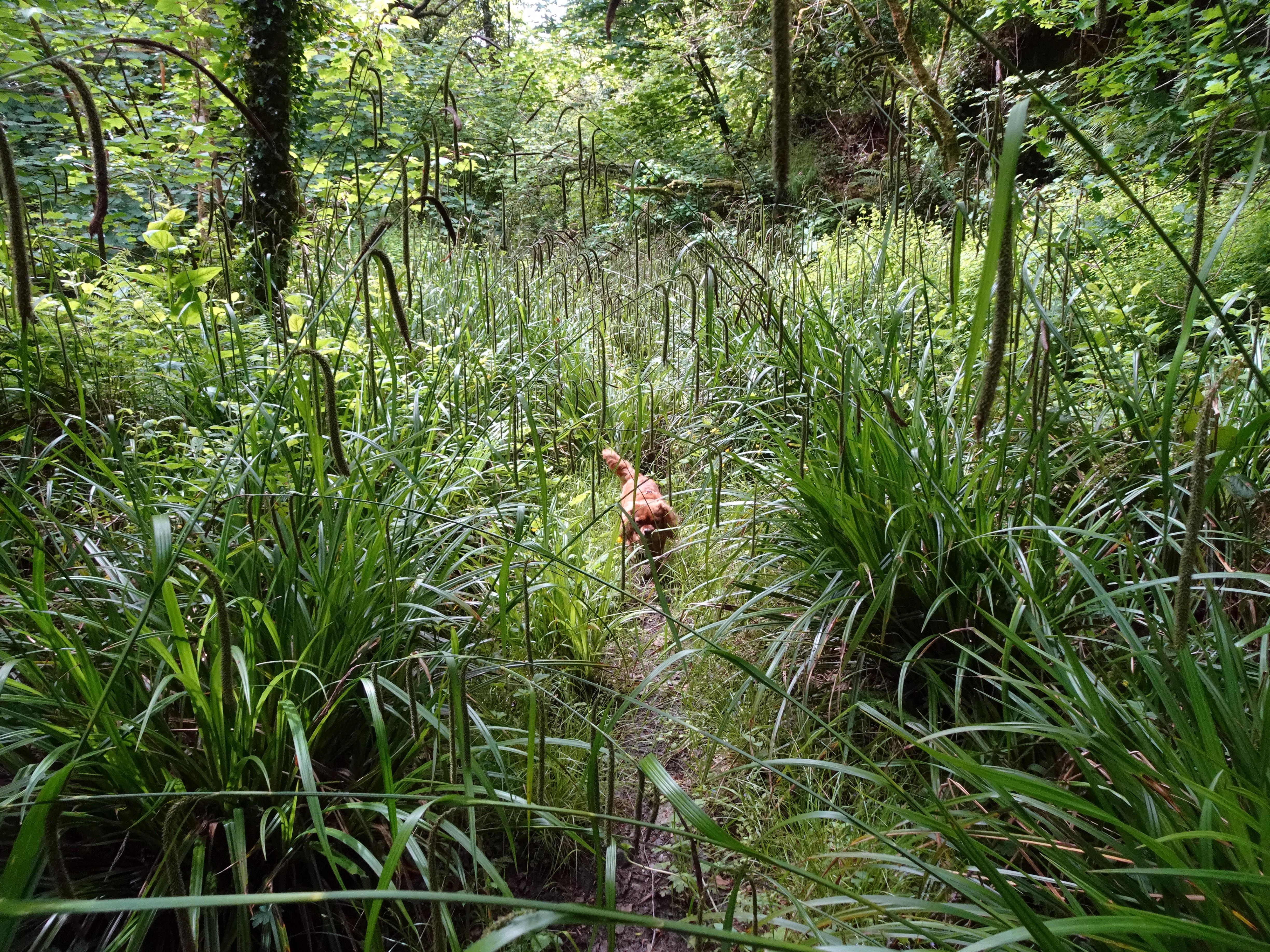
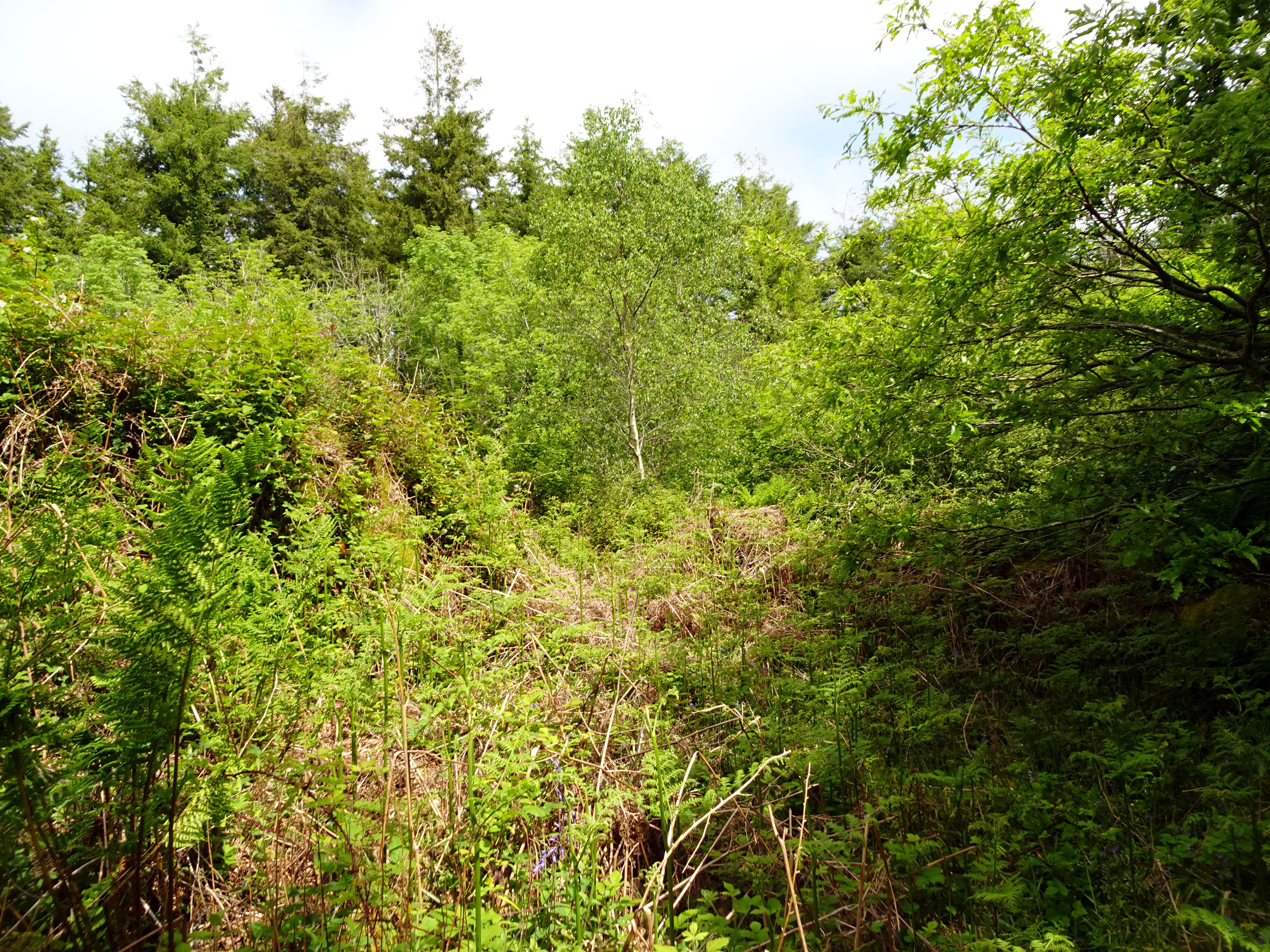
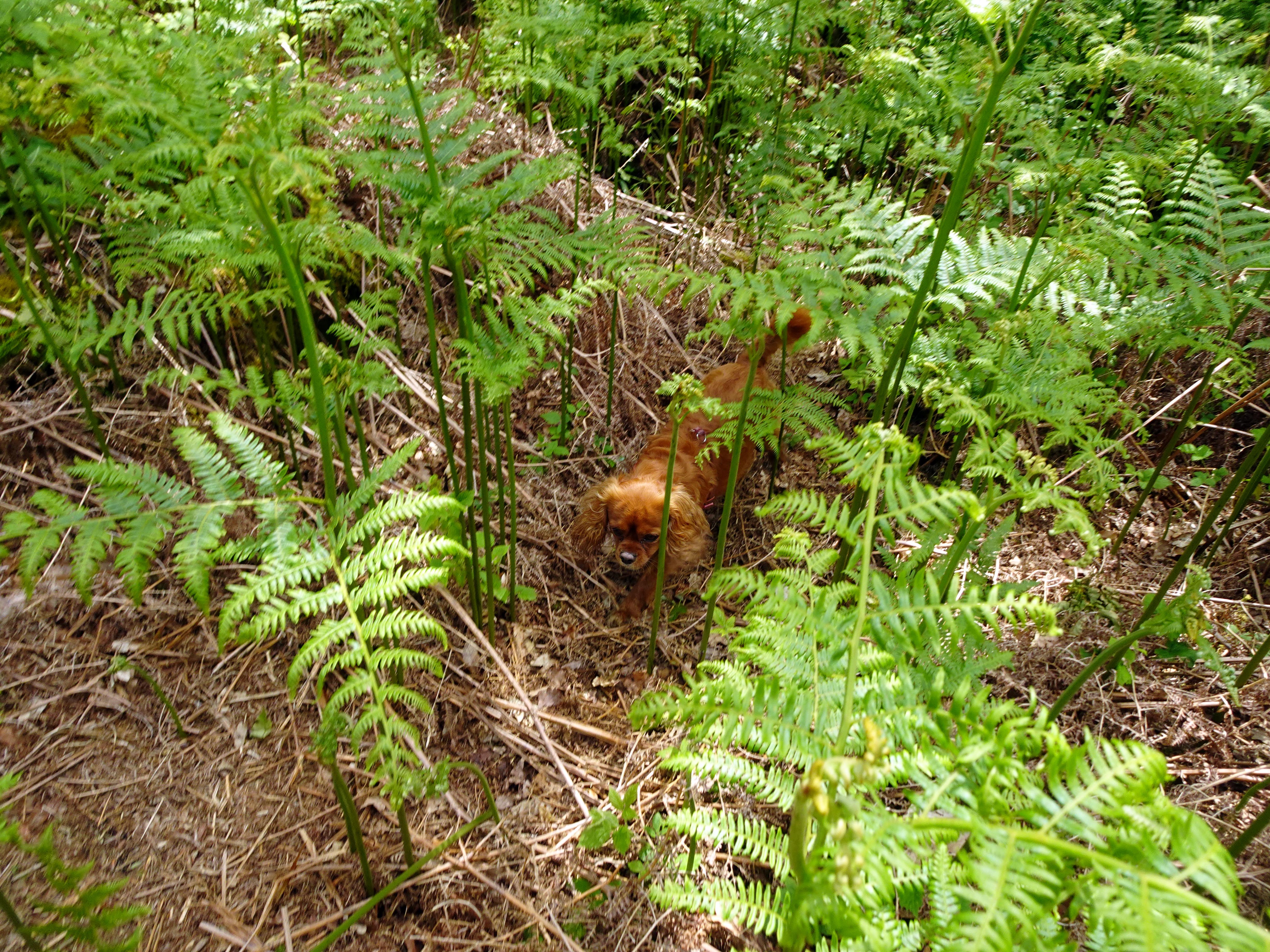
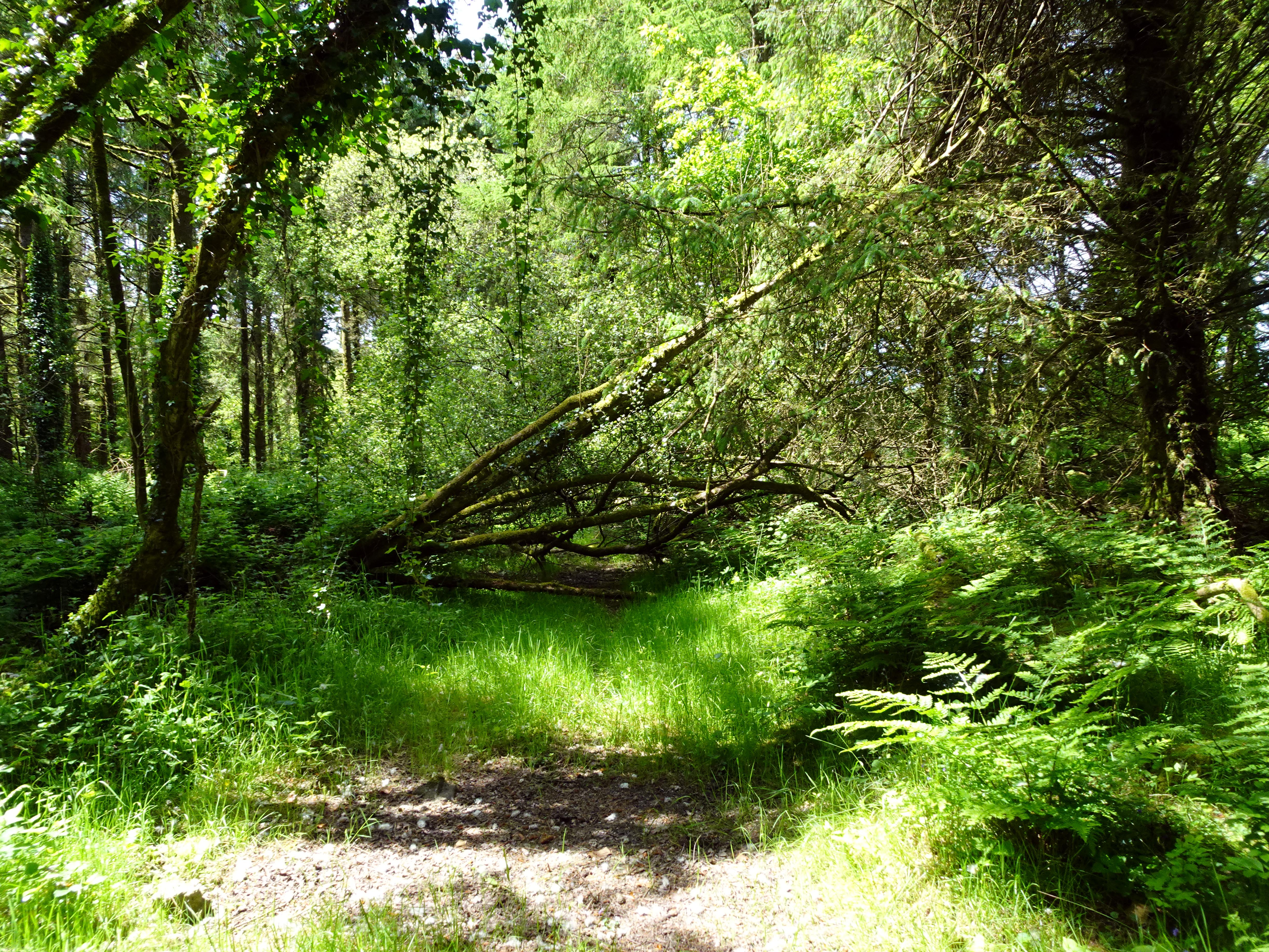
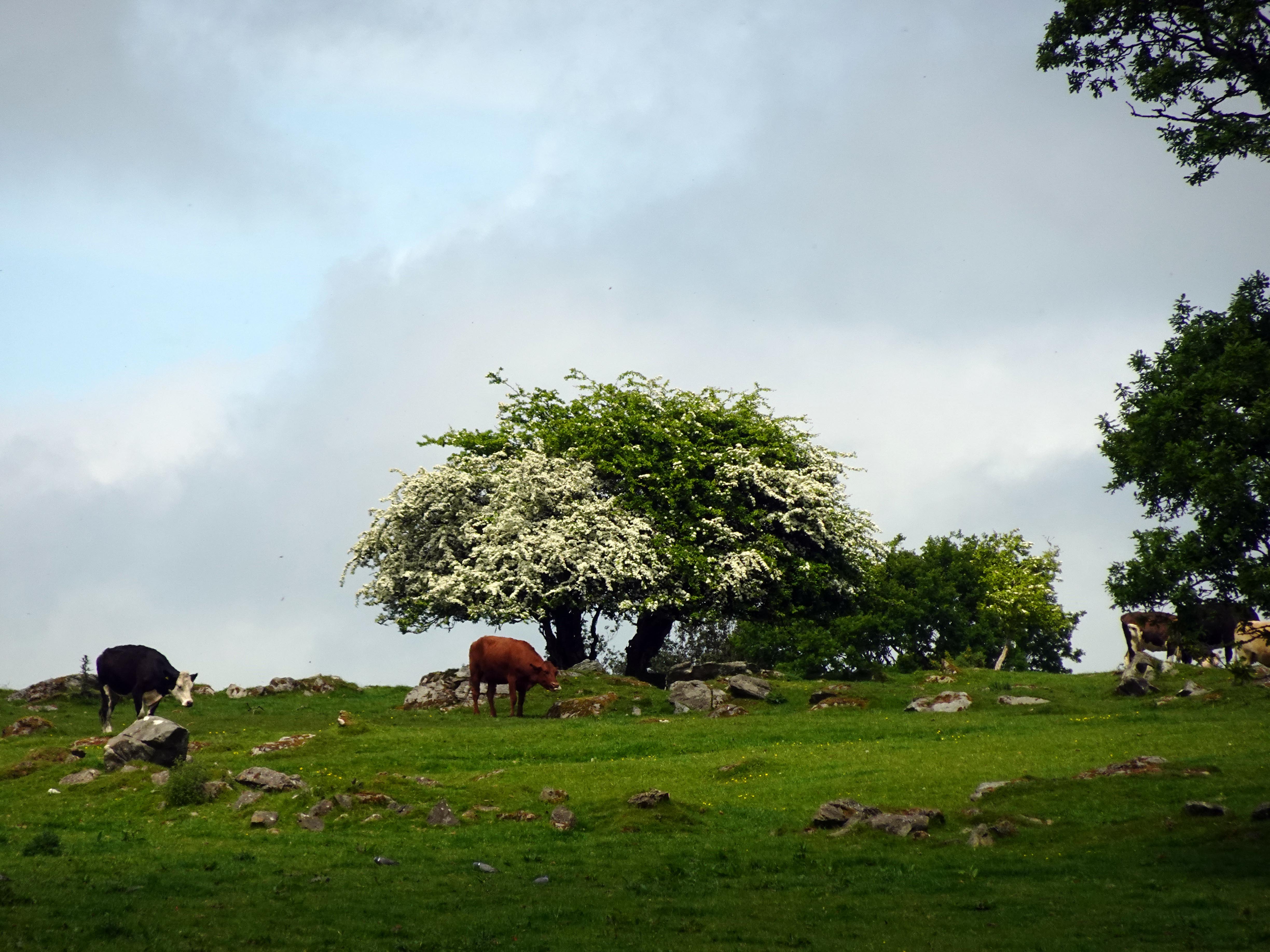
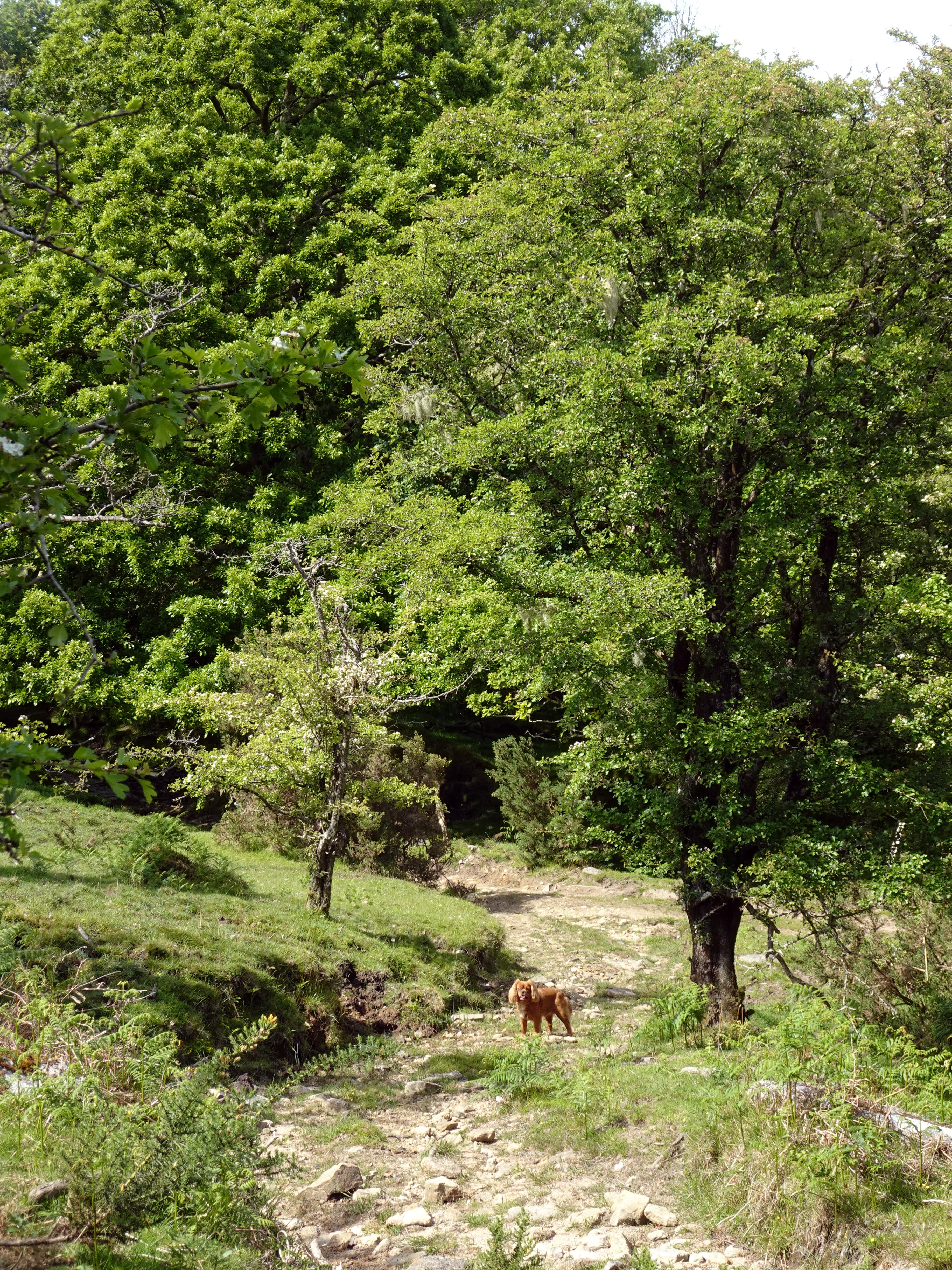
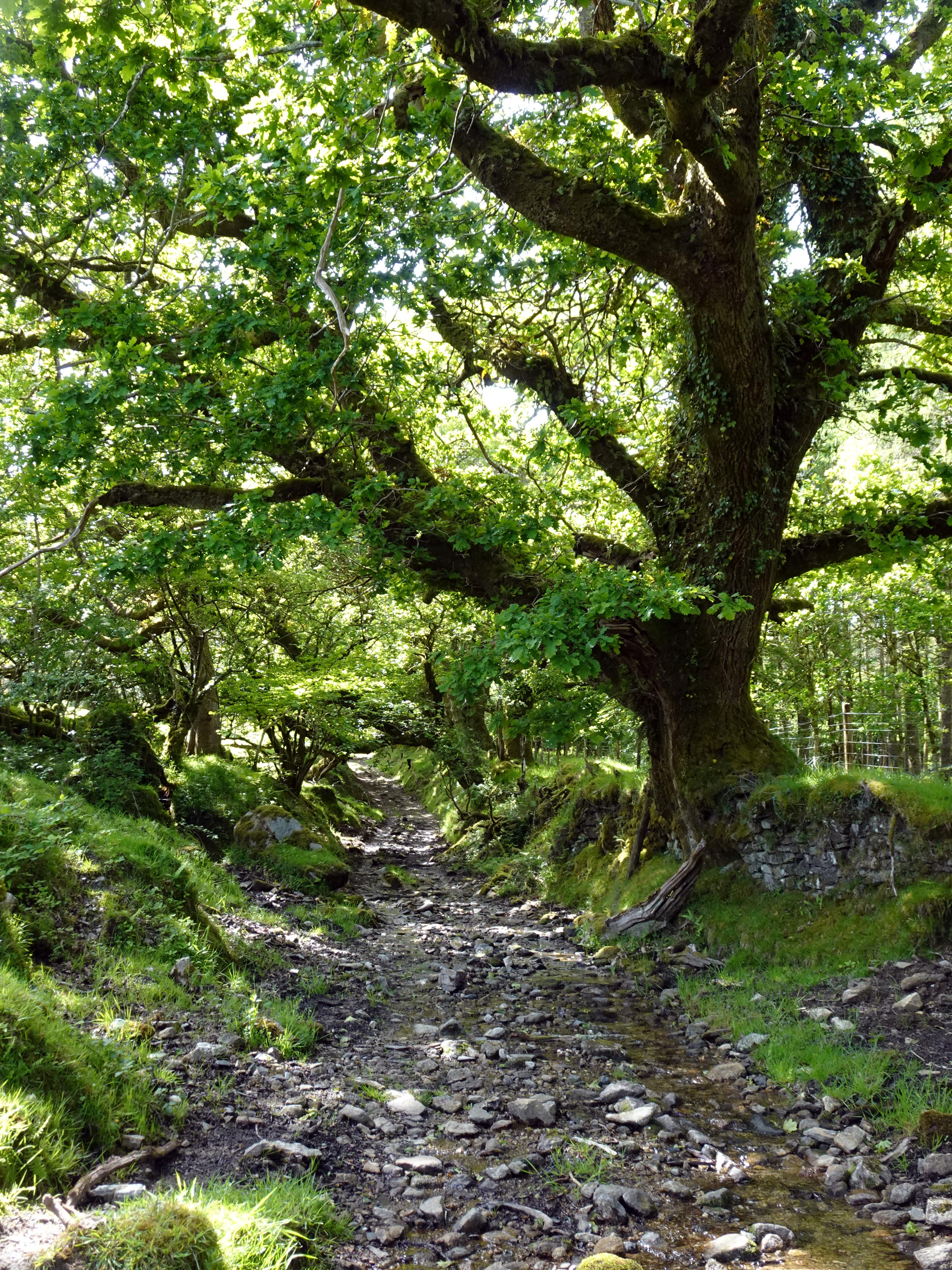
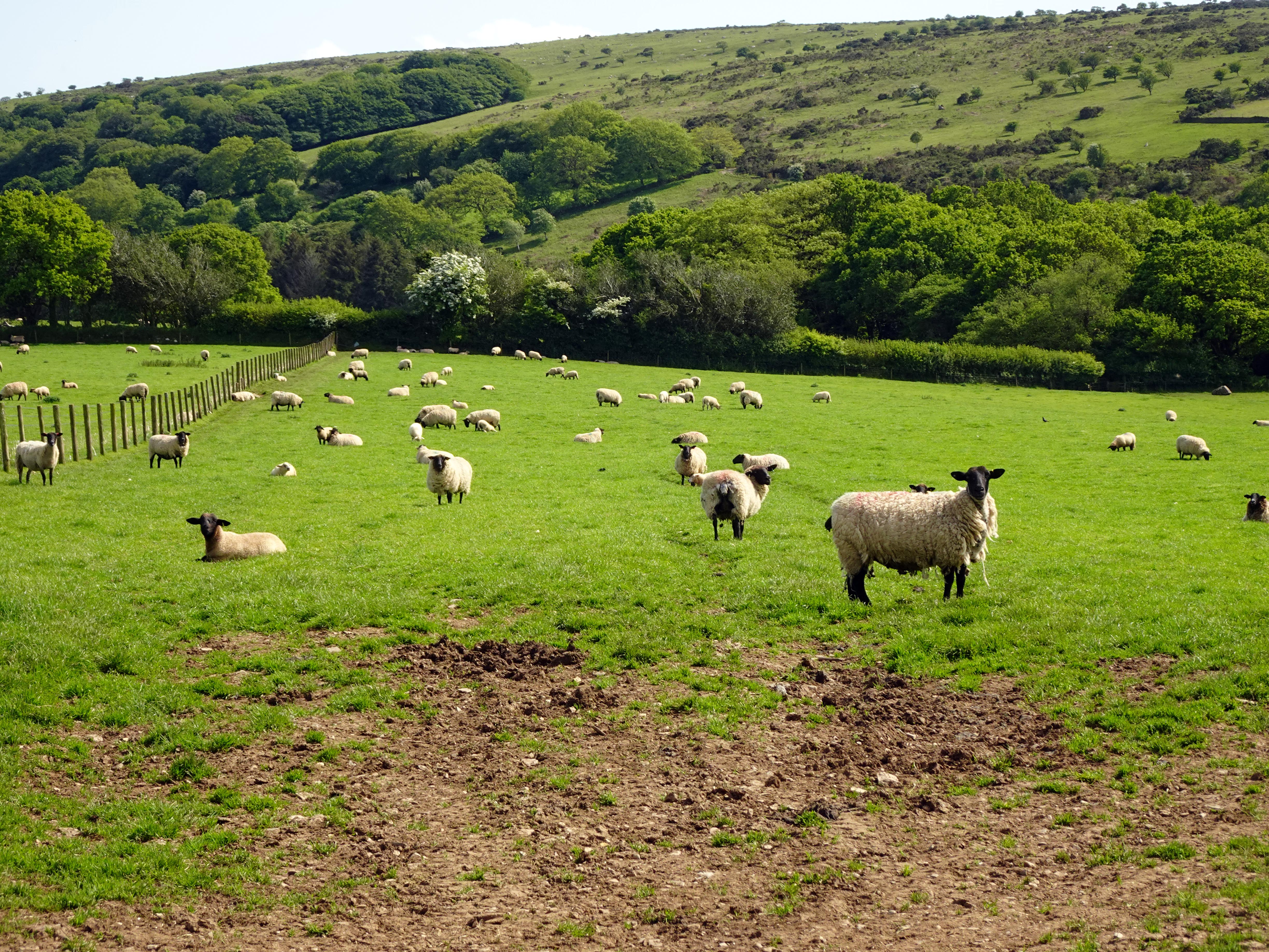
We carried on down the pathway, and just as well that we decided to head to Upton Castle, as the public footpath headed straight through a ford which, even after a few nice days of weather, was surprisingly deep and fast‑flowing. Rupert didn’t mind the cool water, but I’m not sure I would have fancied walking the rest of the day with wet feet! So we followed what is marked on the map as an old trail up the River Lynher. Now, on the map the path is optimistically marked as a drive or track, but it is anything but. The start of it was incredibly waterlogged, lying next to the river. We saw countless tadpoles enjoying life in the puddles of this trackway as we tried to move forward. The next problem was nature reclaiming swathes of the path. A machete may have come in handy in places, but we had to resort to several detours. Rupert wasn’t quite as fazed as he entered the puddles and dived under the undergrowth quite unconcernedly. Then, as if these were not barriers enough, we started coming across felled trees along the pathway. Some of these were mere irritations, but some of them required serious clambering up and over or down and under. As we rose away from the river, though, the trail did improve in places; at least the wetness became less of an issue. Somewhat comically, there were other trails marked off as alternative routes, but we could not see these for love nor money. If our track was overgrown, the other ones had already been lost to nature. We did stumble across one interesting scene of cows on the opposite side of the River Lynher lining up in an orderly manner to drink from the river on what was a hot day after all. It was quite comical to see the seeming order from chaos of the cows, who knew exactly what they were doing.
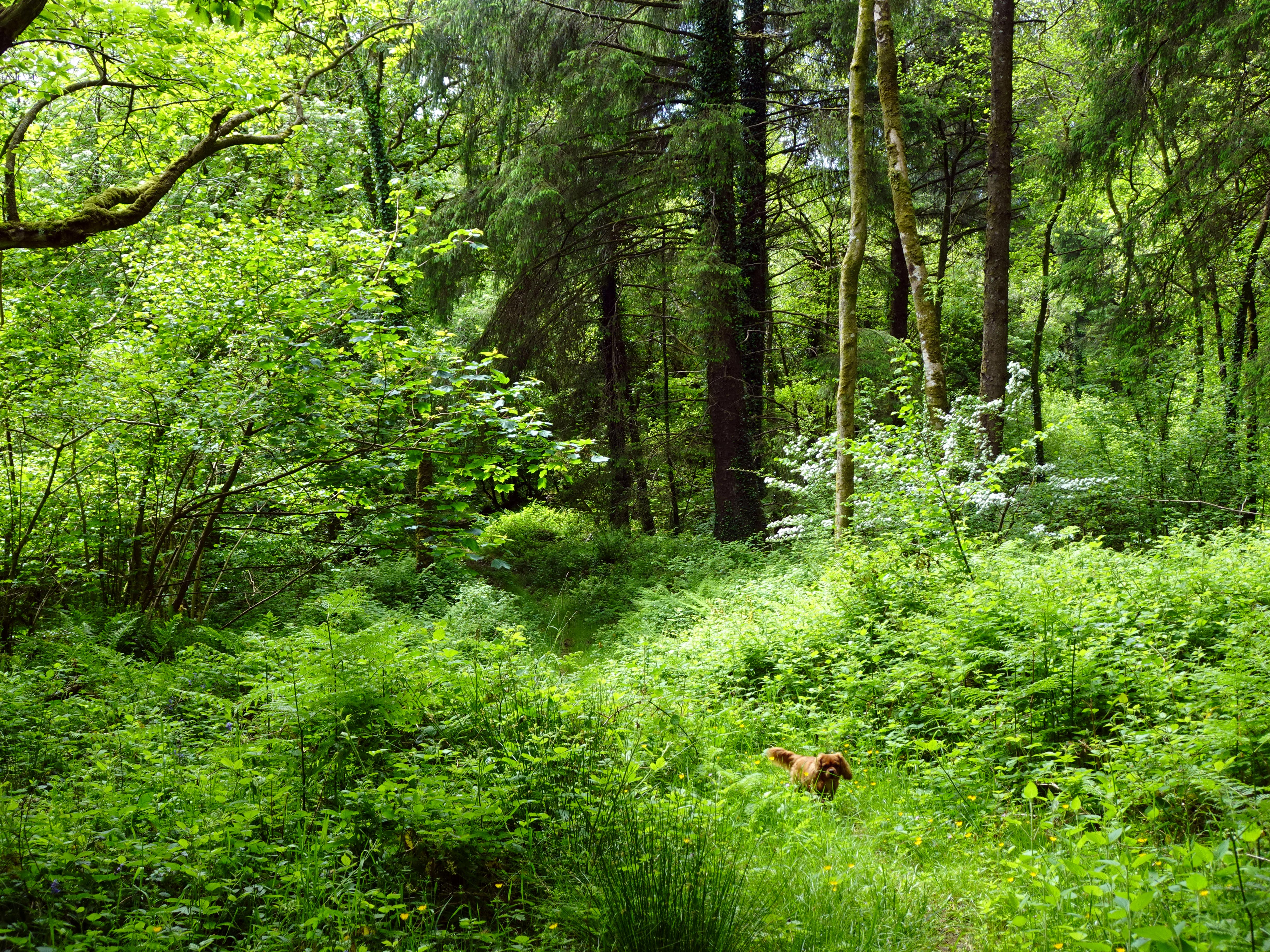
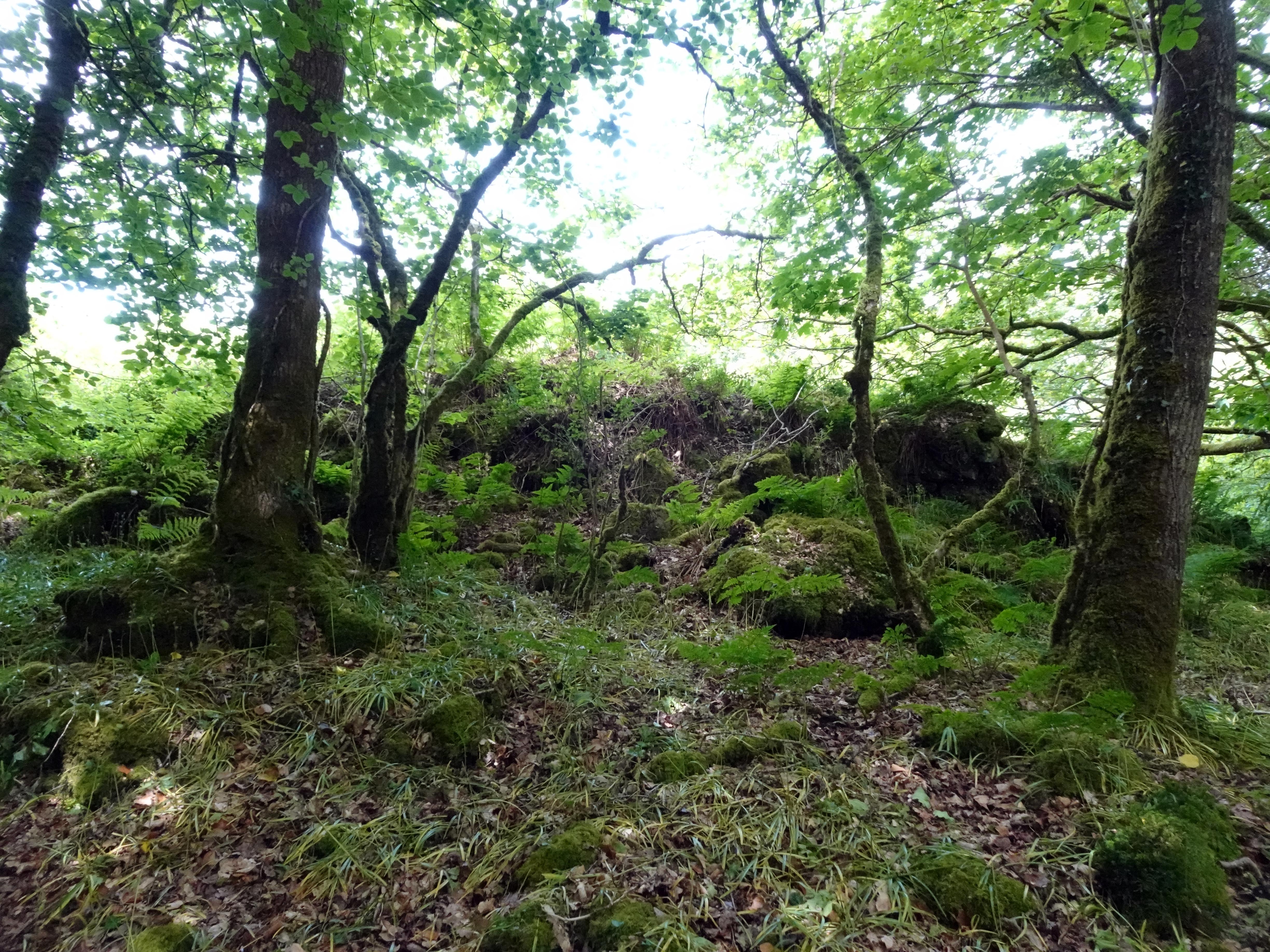
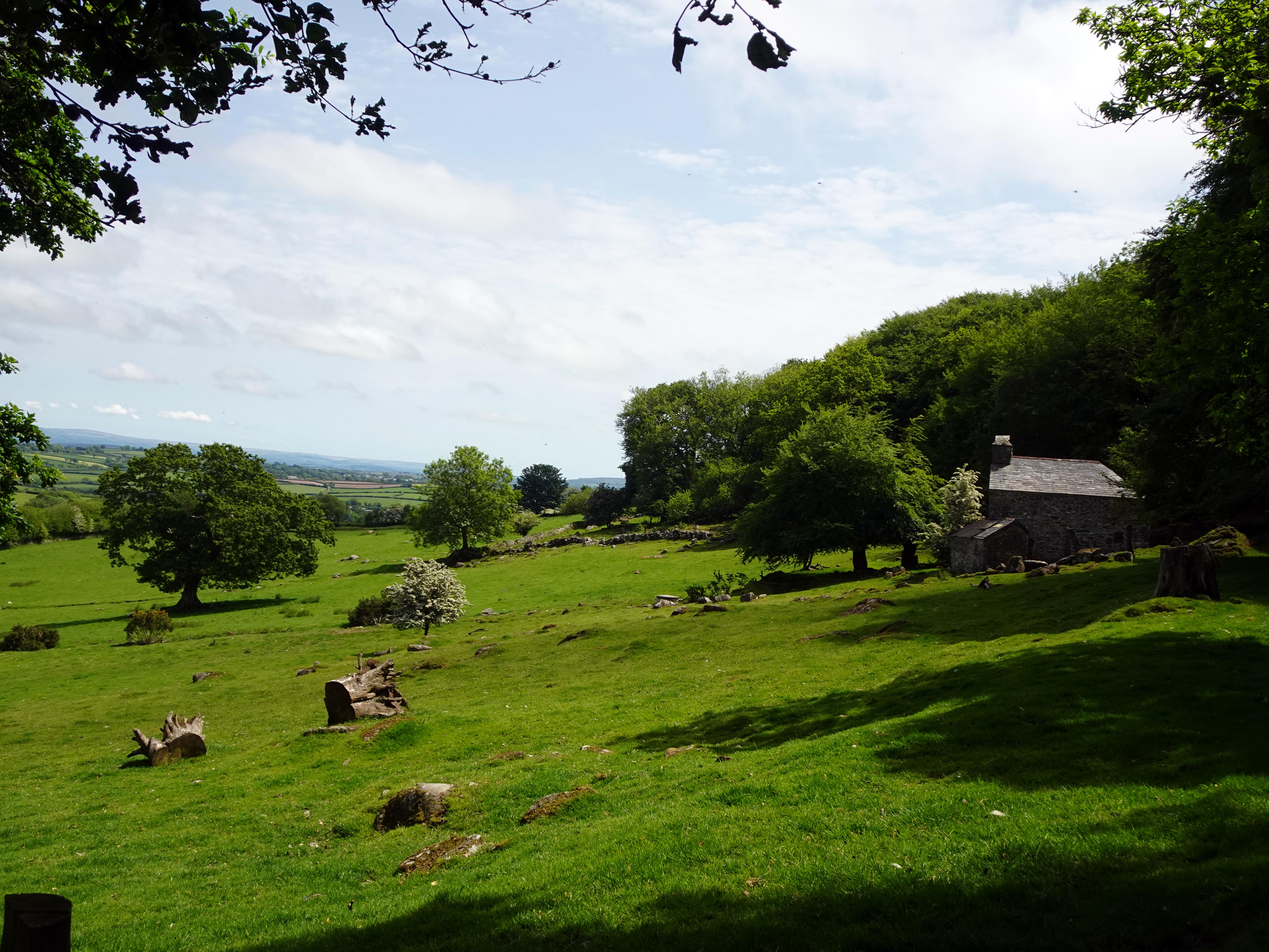
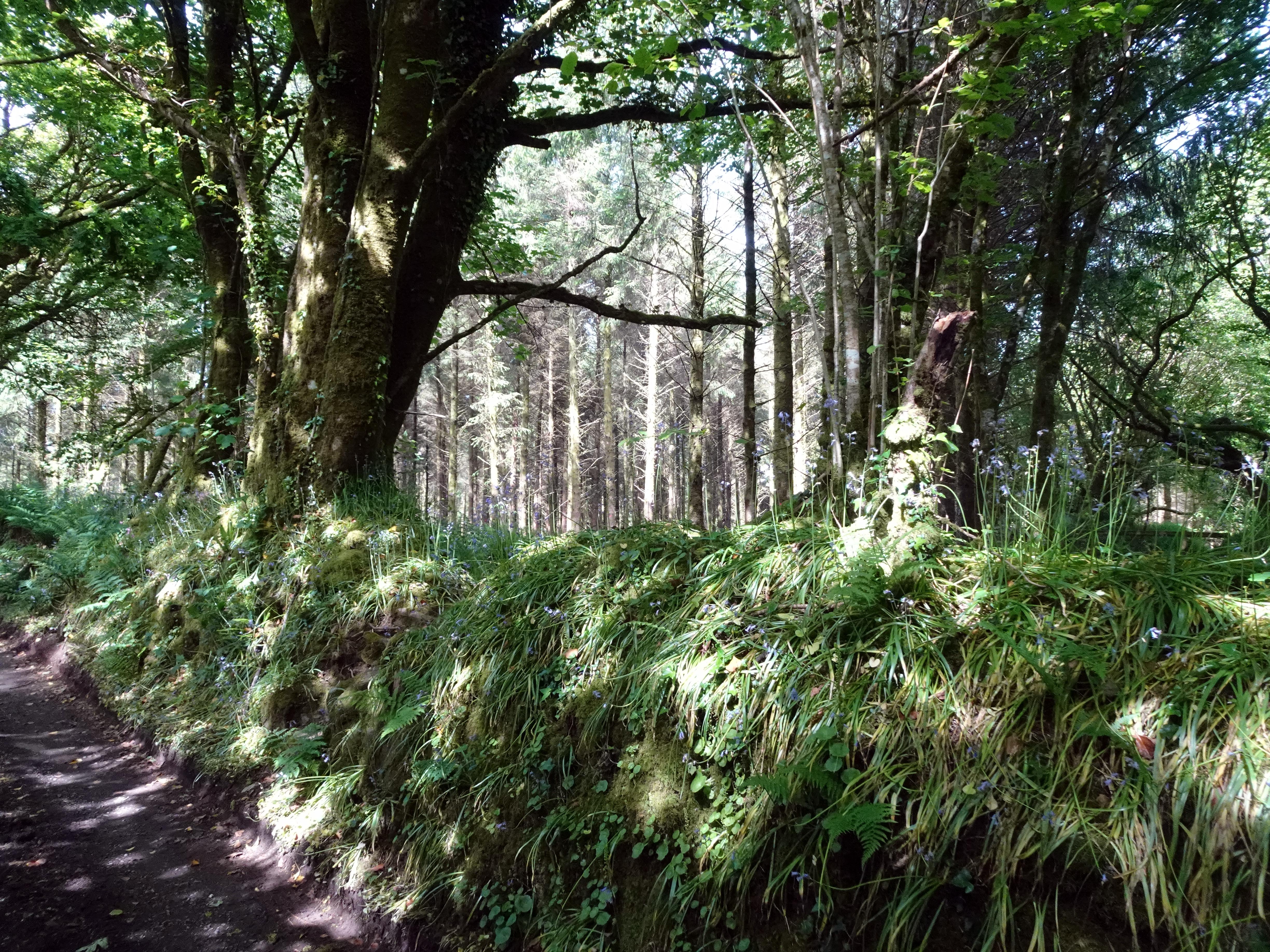
Soon our track was populated with bluebells, and we saw deer darting through the trees in the distance. Using the OS map, we could see when we were aligned with Upton Castle and then had to cut into the foliage to try and locate the castle. Soon the tell‑tale signs of embankments and rocks marking the old buildings began to reveal themselves. They were concealed by ferns and trees as best they could, but the outlines of the old defensive layout soon revealed themselves. Funnily enough, considering this is one of the better‑preserved ringworks in Cornwall, and indeed the country, it has never been archaeologically excavated. I think we need a Time Team or Digging for Britain to look at this site in more detail.
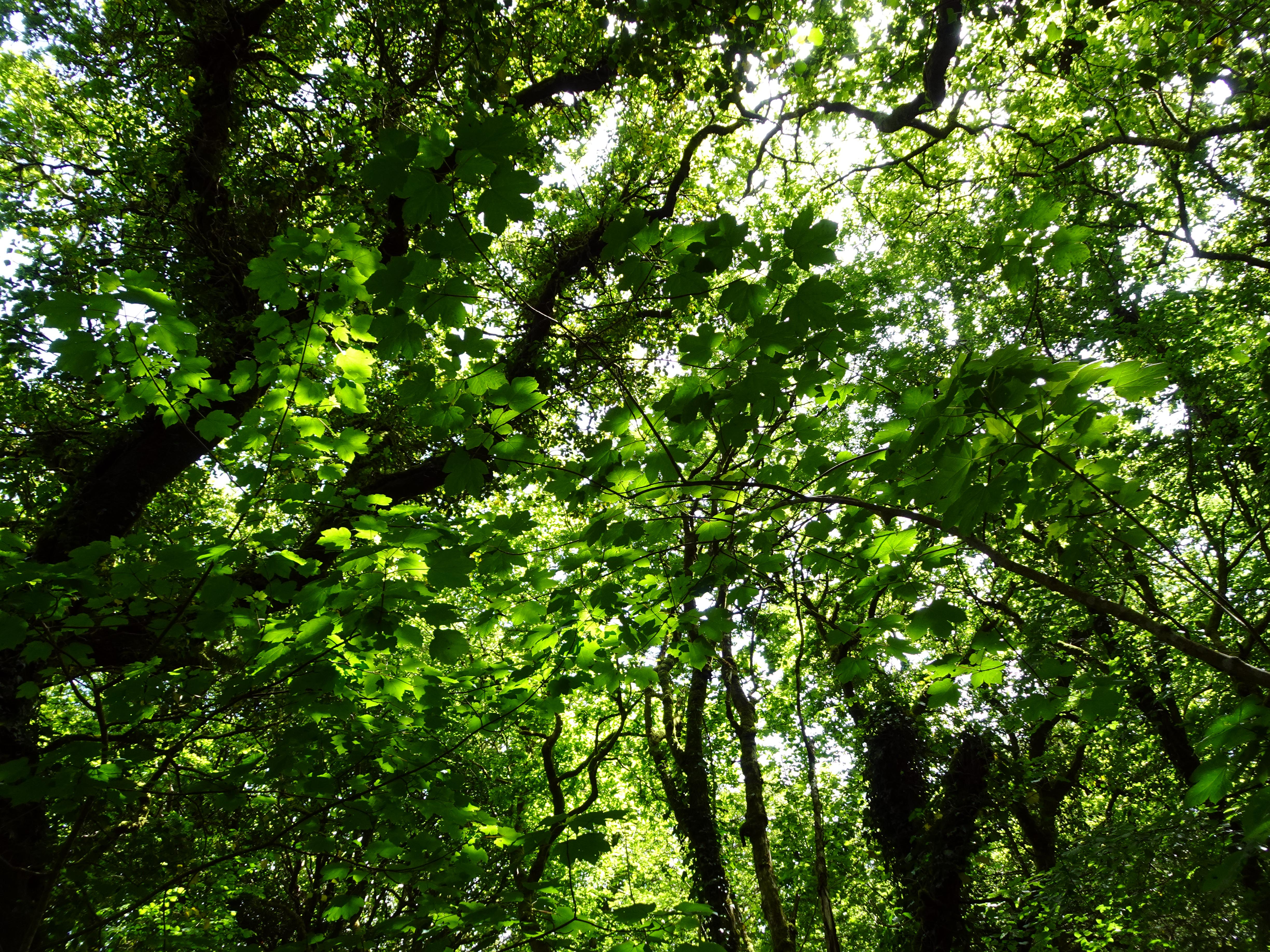
Curiously, rather than a castle in hostile territory, you are more reminded of its second use after the Upton family felt secure enough to move to their manor house just up the hill from here. It appears that this ringwork may then have been given over to Launceston Priory of St. Stephen, who used it as a monk’s cell. This in itself is fascinating. Monks’ cells were places where monks could contemplate and pray without disturbance. You could hardly imagine a more tranquil location as we sat here under the canopy of trees with bluebells all around us and the sound of the River Lynher flowing nearby. It is far easier to imagine contemplative monks walking these tracks than armoured knights looking over their shoulders and wondering if they might reach the safety of their fortified house before being attacked. I love to try and conjure up imagery of the past uses of these historical sites, and this was a particularly beautiful place within which to conjure up those past uses. There would likely have been far fewer trees, perhaps none at all, especially during its defensive phase where lines of sight become critical. There is also evidence of old walled fields going back centuries, suggesting that farmers moved in after the knights and monks moved out.
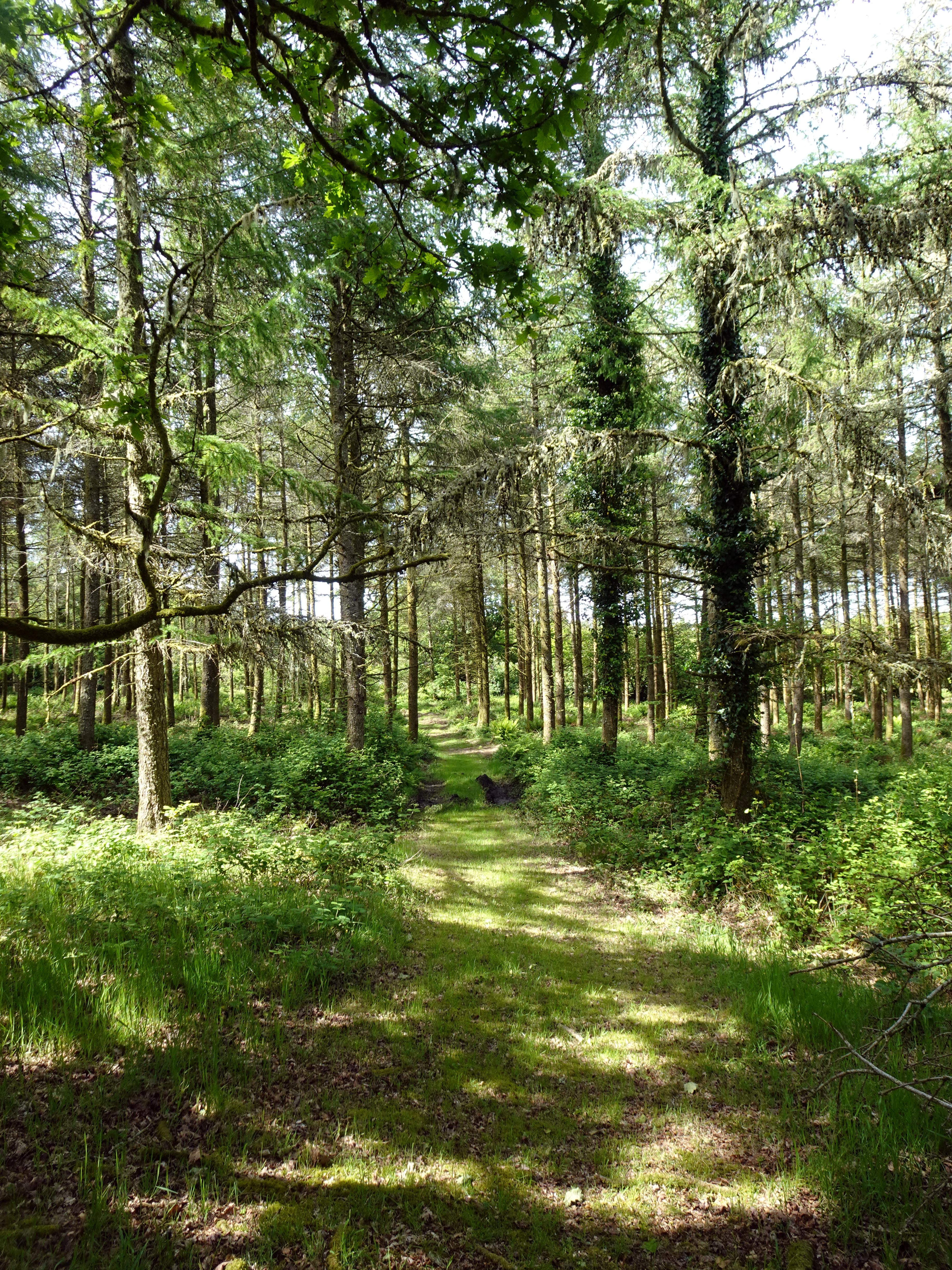
After exploring the remains in true Indiana Jones style, we eventually carried on our journey westwards to find the other footpath. Once again, though, fallen trees made this far more of an ordeal than the map suggested it might be. But of course, it is its very inaccessibility that makes a place like this so special. In a strange way, we were glad that nature was keeping all but the most determined away from this hidden gem of our heritage.
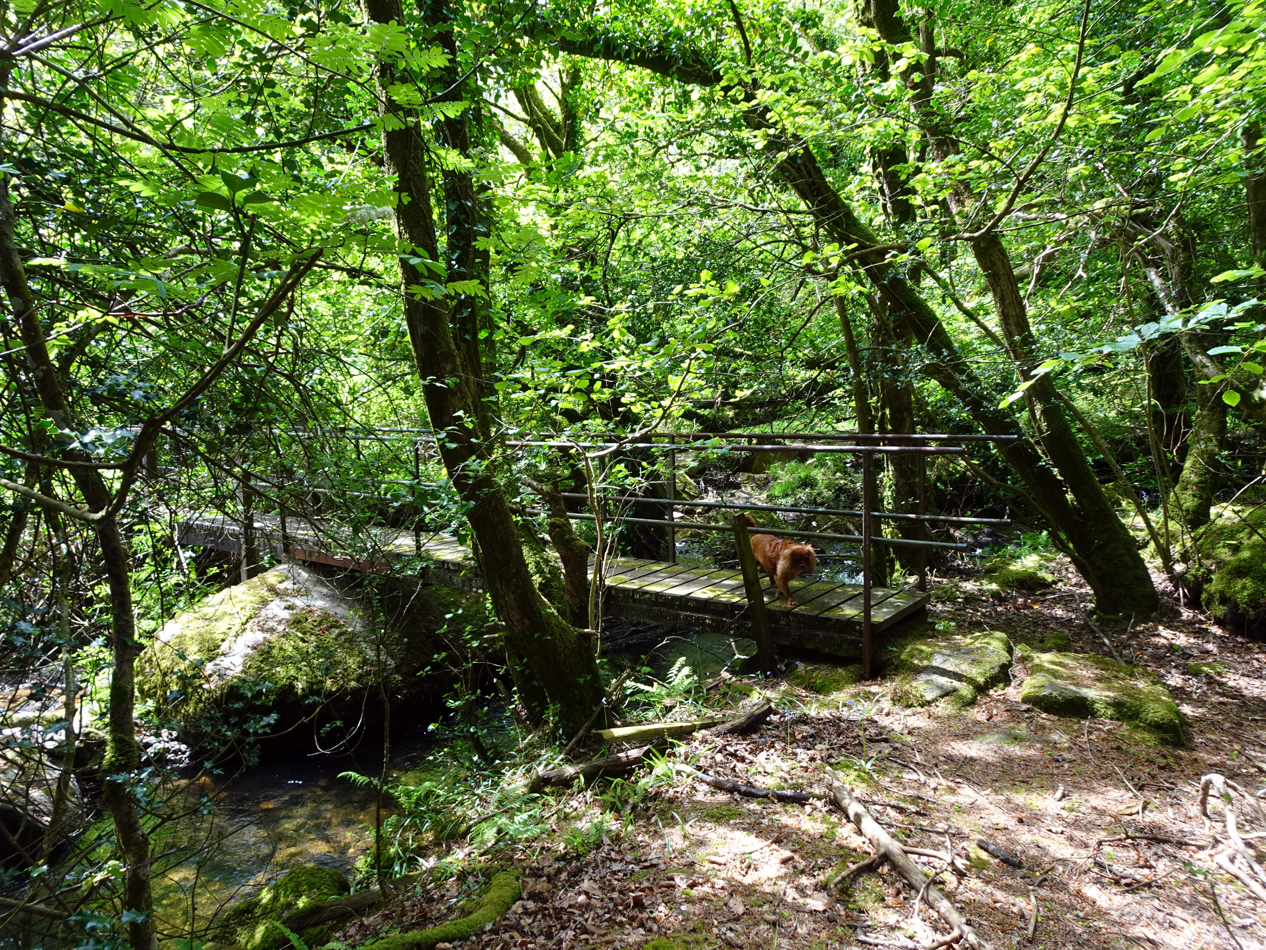
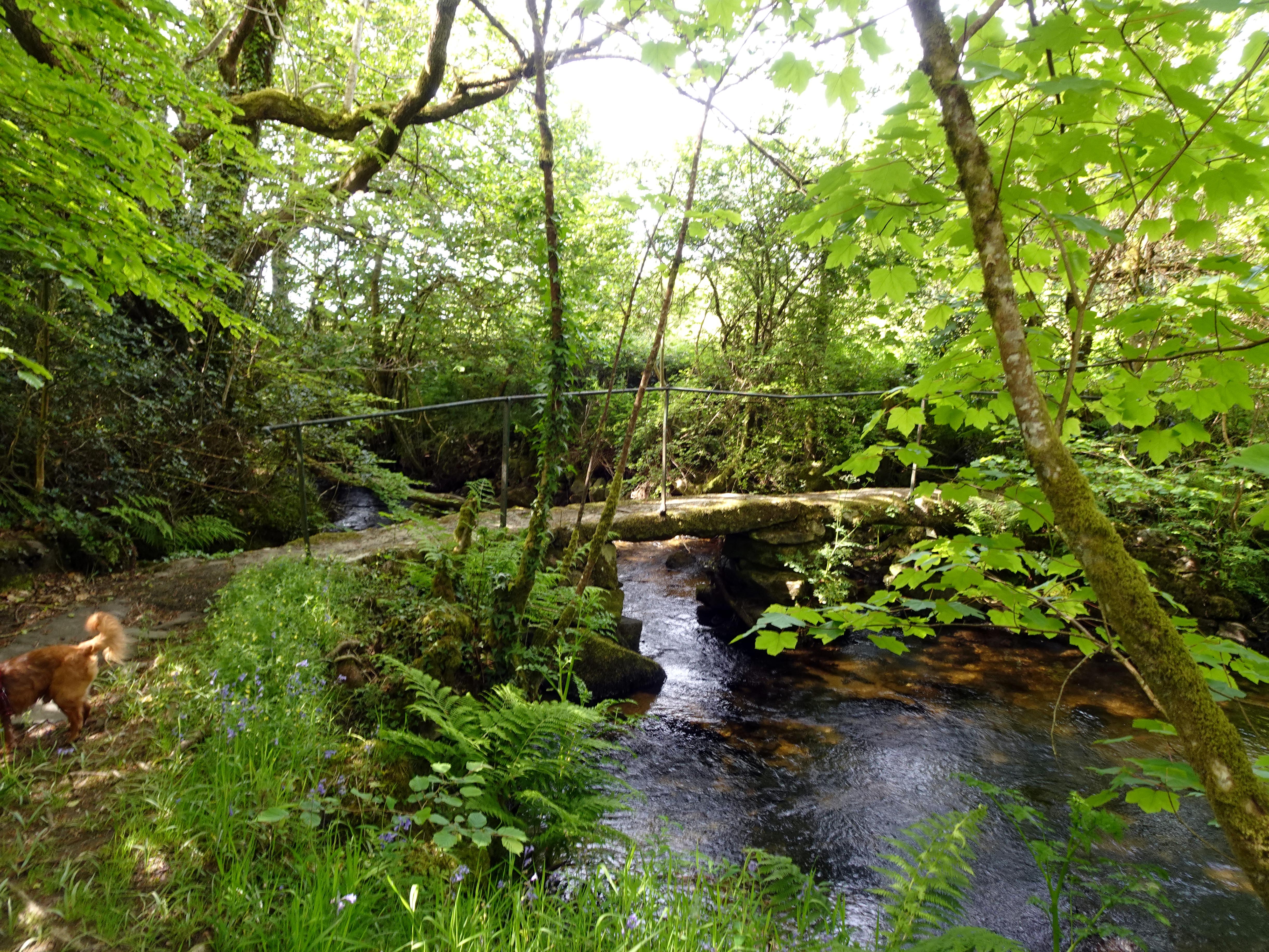
As we joined a public footpath, we noted that the history gods had smiled on us as we looked back across the path we would otherwise have taken, which lay through a field of young bulls. Given the choice of hacking your way through undergrowth and clambering over fallen trees or trying your luck against several dozen young bulls, I think I know which Rupert and I preferred! Coming this way, we were also rewarded with a footbridge across the River Lynher balancing on a huge menhir in the midst of the riverbed. We were now going to start a very different second phase of our walk as we lifted ourselves out of the vibrant farmland along the River Lynher and ascended into the wilder lands of Bodmin Moor.
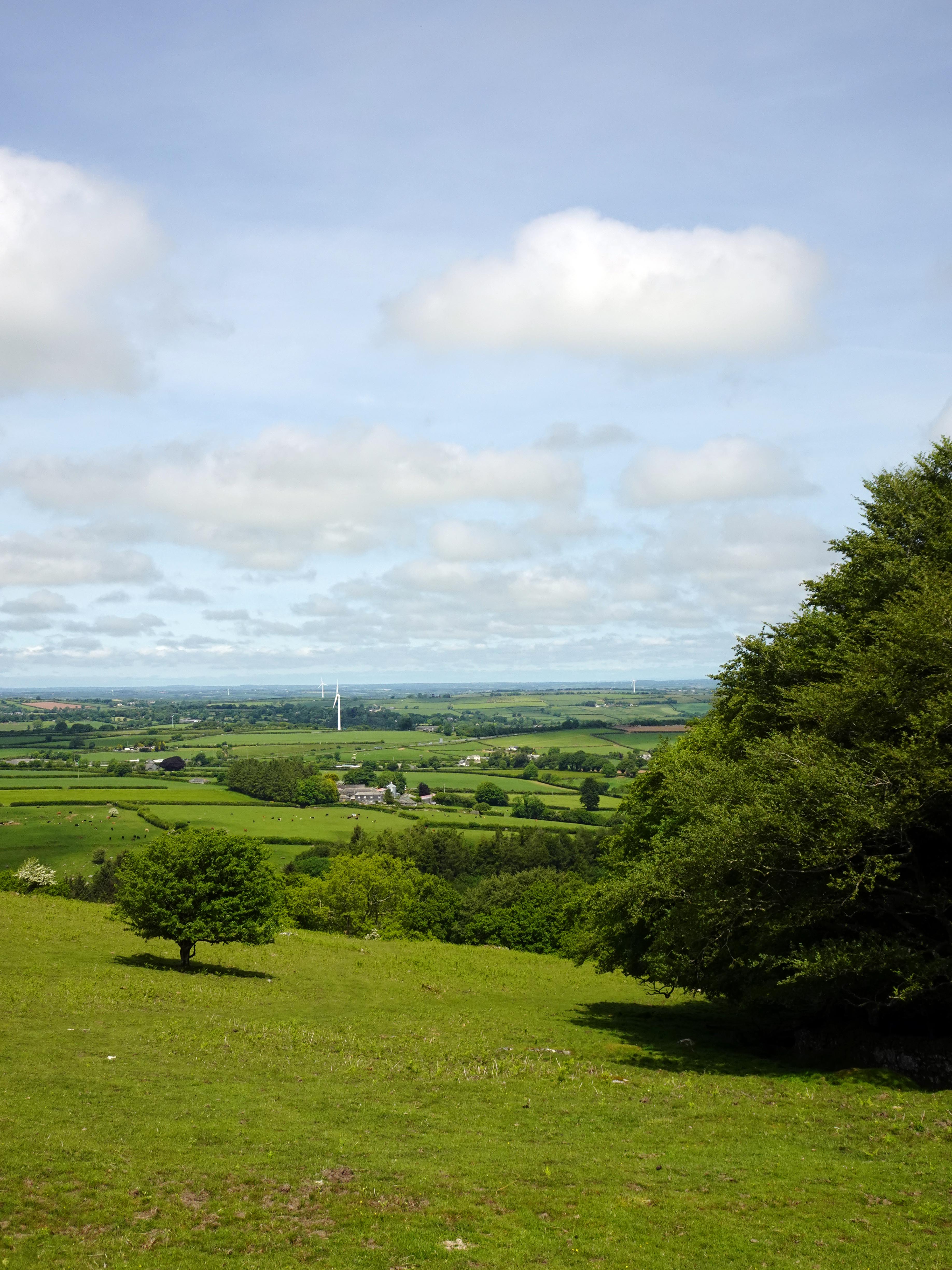
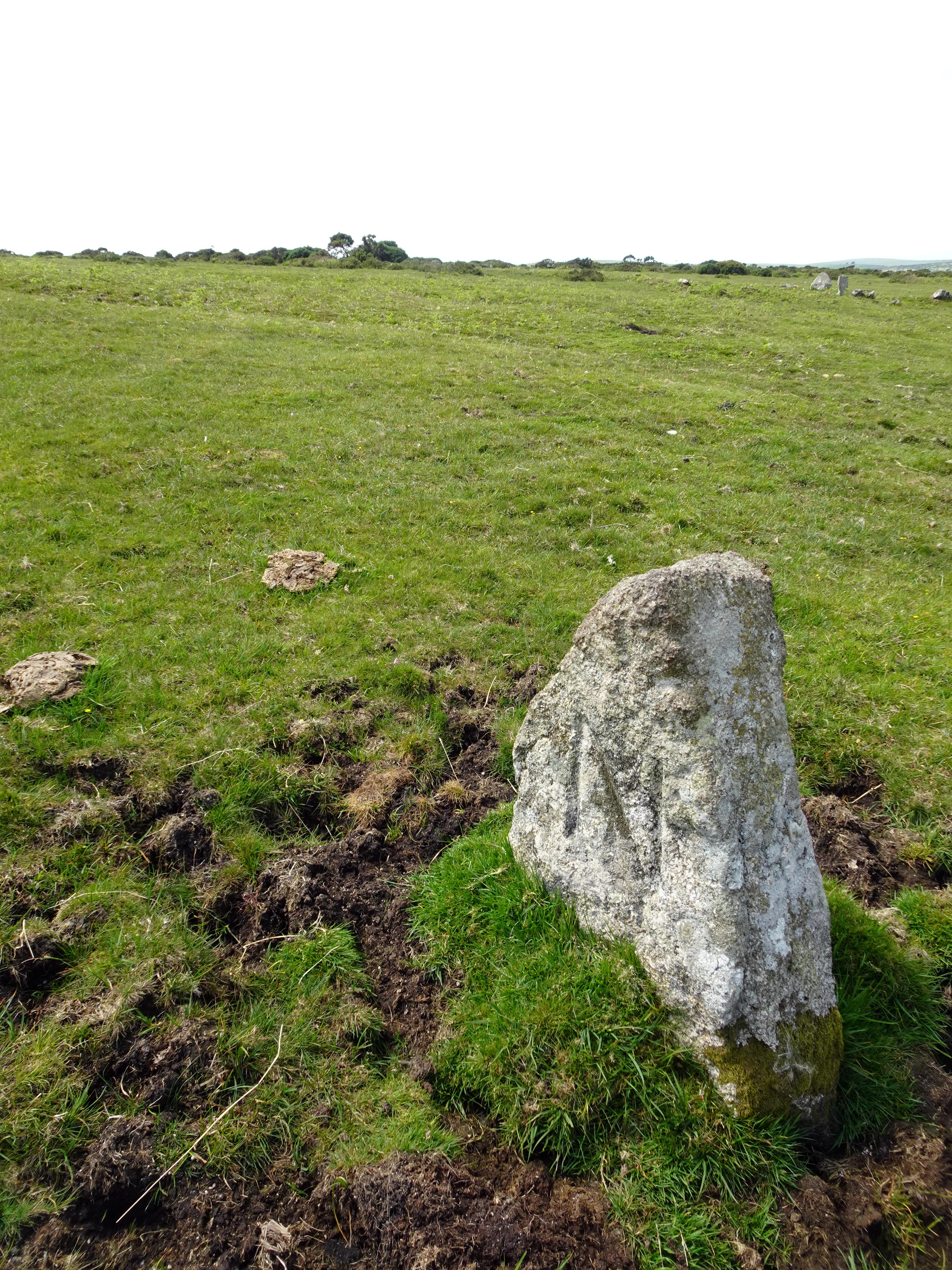
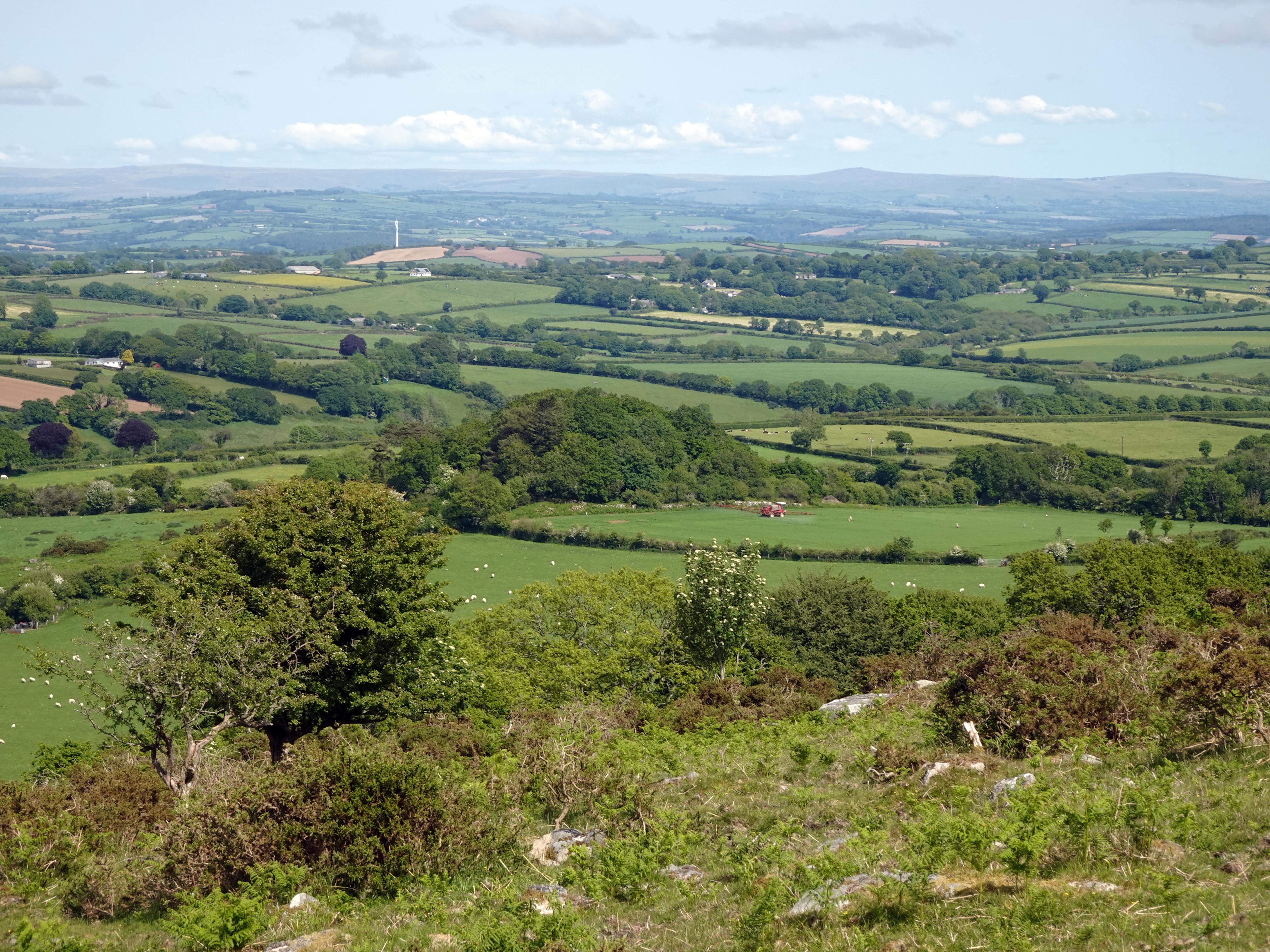
The walk up the west bank of the Lynher was serenely beautiful, as so many trees were still displaying their spring blossom. It was steep, but the views back were increasingly breathtaking until eventually, as we climbed the moor, we could turn around and see Dartmoor off in the distance. Various isolated wind turbines seemed to move at varying speeds, including none! And livestock seemed to shrink in their fields as the patchwork effect of varying field use became increasingly apparent. We followed the old boundary stones marking the dividing lines between Altarnun to the north and, somewhat ironically, North Hill to the south! In fact, down at the river right in front of Upton Castle, we had been at the intersection of a third parish, with Lewannick parish lying on the east bank of the river.
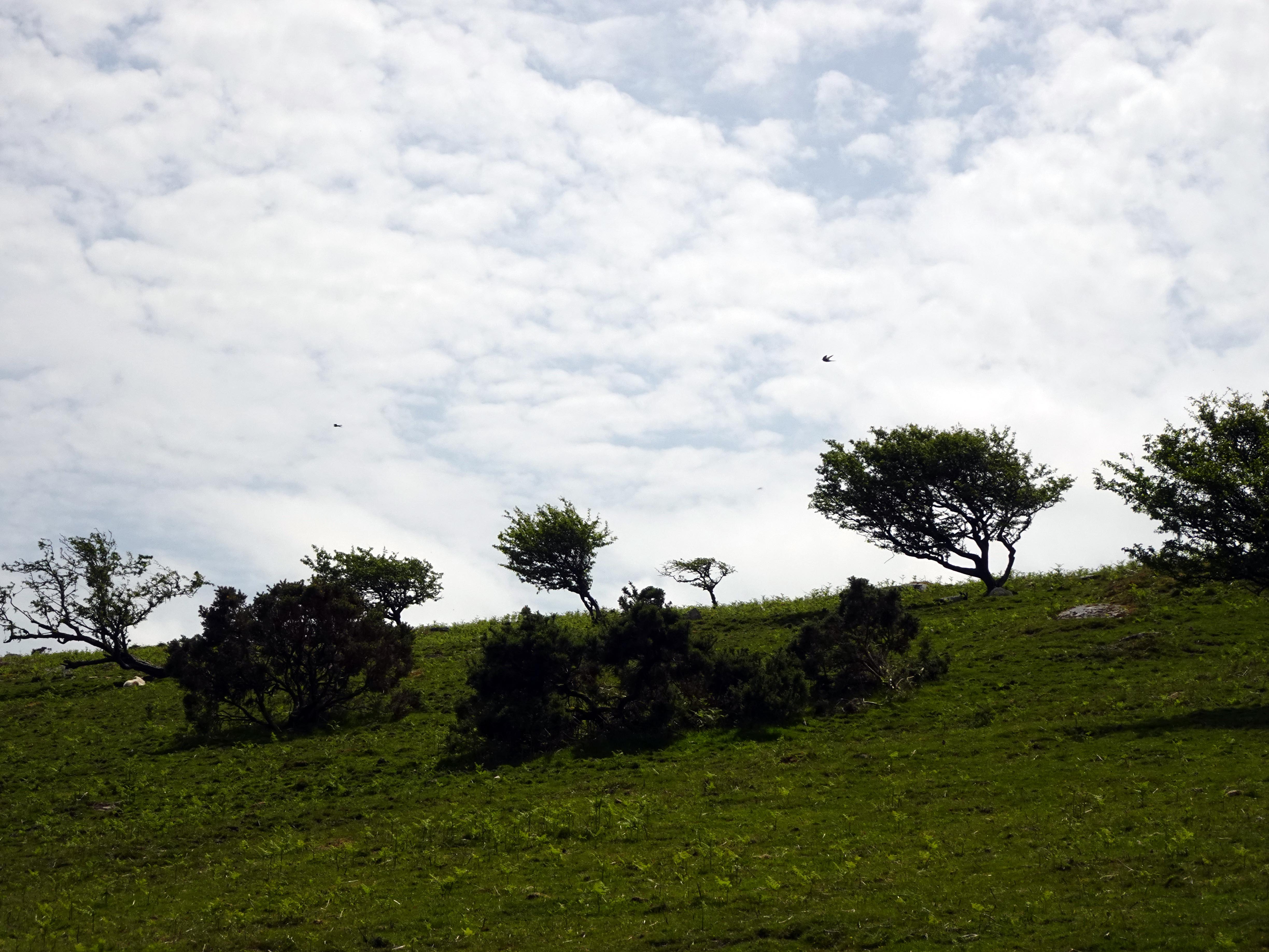
We were also delighted to have been rewarded with not only the sounds of cuckoos but the sight of them. Two of them literally flew right in front of us on Bodmin Moor, merrily crying “cuckoo” to one another. We have heard plenty this year, but these are the first that we have been privileged to see.
|
|
|
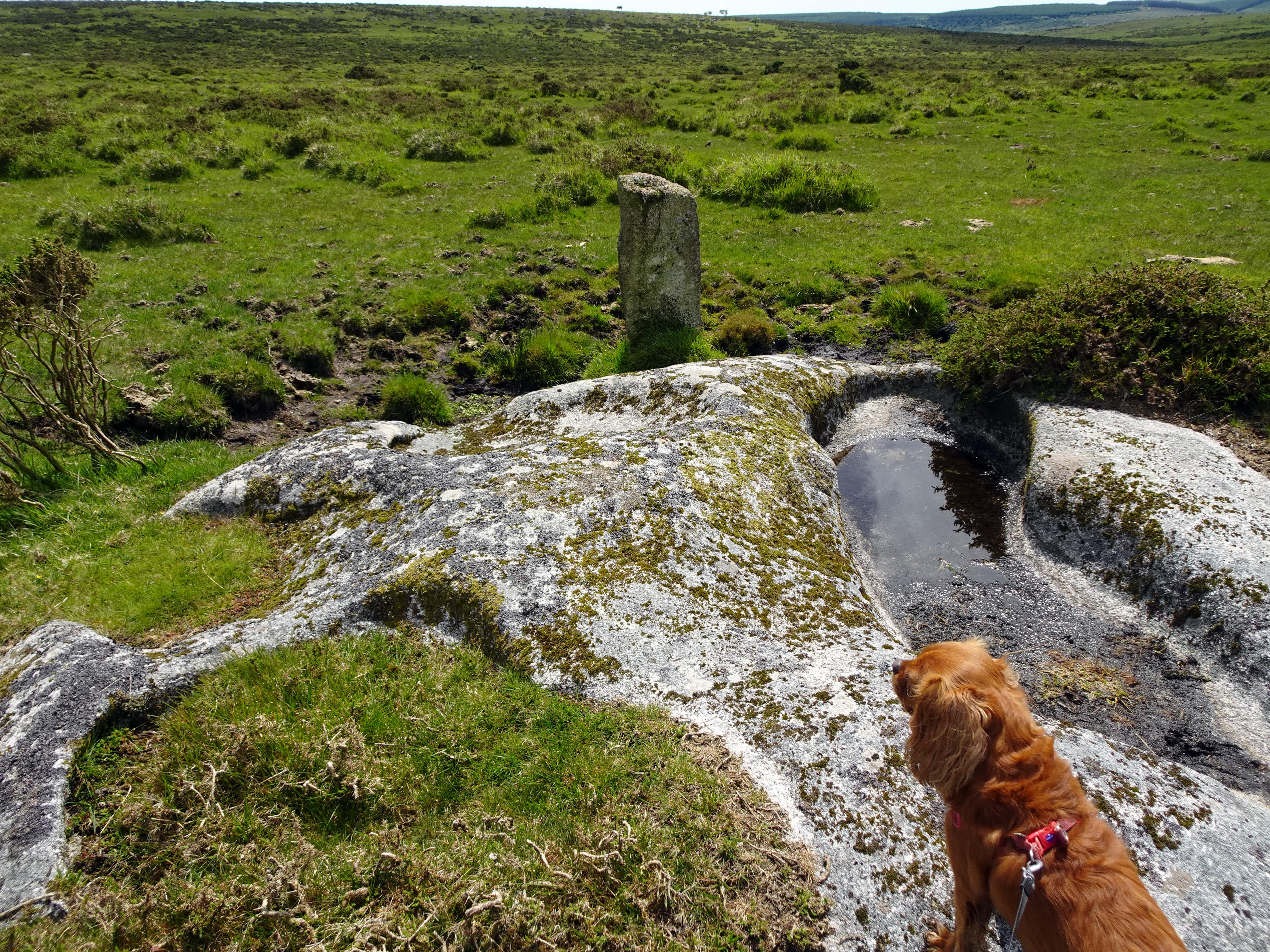
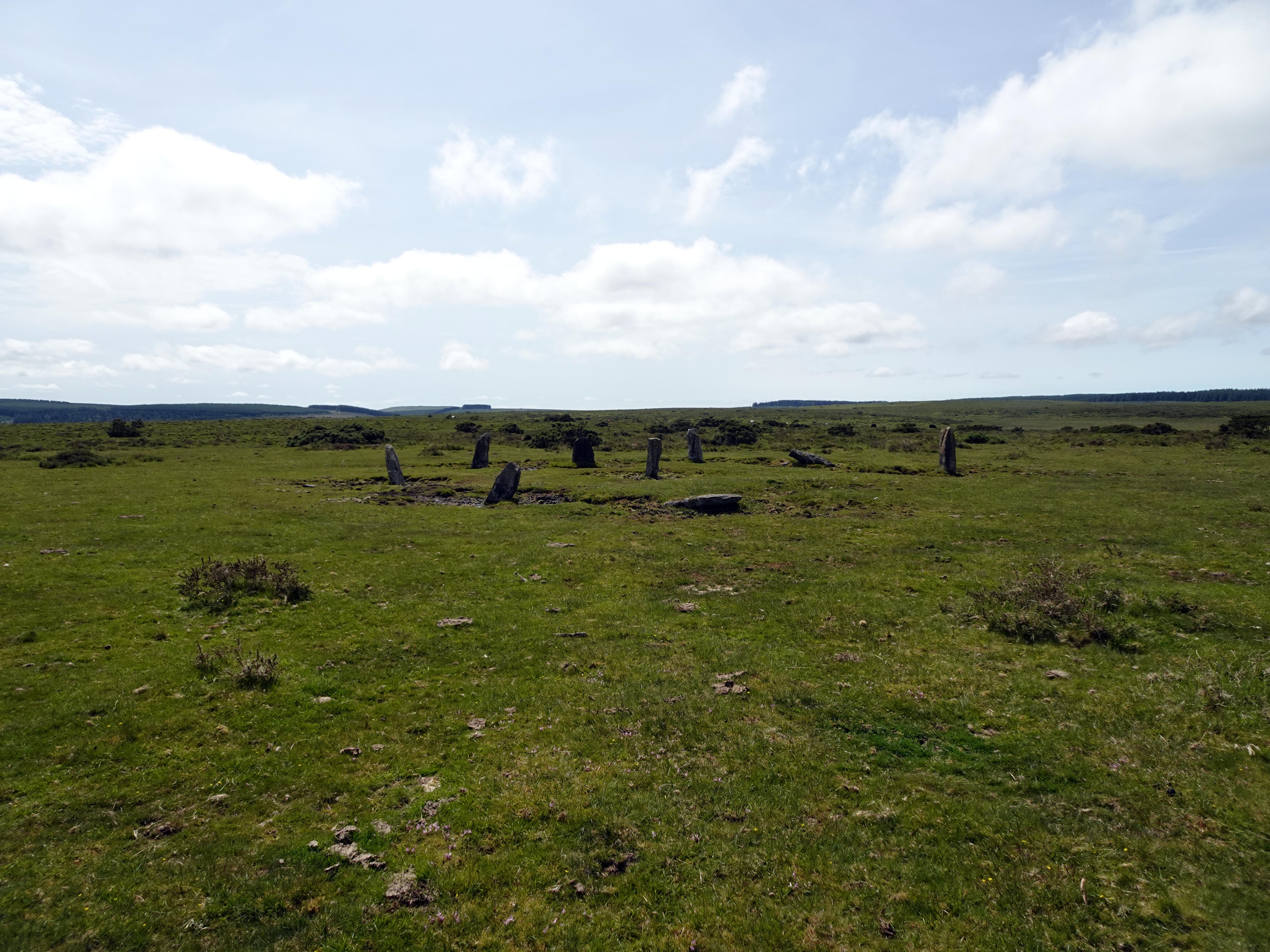
Being Bodmin Moor, and not having been overly cultivated other than for livestock, there are so many Bronze and Iron Age remains as you walk past hut circles and field systems dating back not centuries but millennia. We were on our way to find Nine Stones stone circle, which conveniently the relatively modern parish boundary stones took us directly to. It was actually restored in the Victorian era under the instigation of Francis Rashleigh Rodd, who grew up on and later inherited the Trebartha estate a bit further down the Lynher. He was actually registered blind in his 20s and became a big supporter of the Institute for the Blind. Despite his disability, he was fascinated by the natural world and also the history and heritage of his extensive estate. Before it was restored, only two of the stones were still standing. Whether it was reconstructed accurately is a matter of considerable doubt, and we know for a fact that Nine Stones once had ten stones from old drawings and maps that recorded it previously. Also the stone in the middle is actually a more modern parish boundary marker that somewhat messes up the stone circle as it cuts right through the ancient memorial and very much alters its character. The 15 metre wide stone circle may well have been established as a calendar to help track the all‑important seasons for the surrounding farming community. Today it looks bleak and isolated, but with so much evidence of settlements, huts and field systems surrounding it, this area was undoubtedly a thriving community. This particular stone circle may actually date all the way back to the Late Neolithic (Stone) Age, making it up to four and a half thousand years old. It is interesting to contemplate the Norman knight at Upton Castle coming up here on occasion and wondering what strange people could have left such monuments behind so far back into the mists of his time, let alone ours!

|
|
|
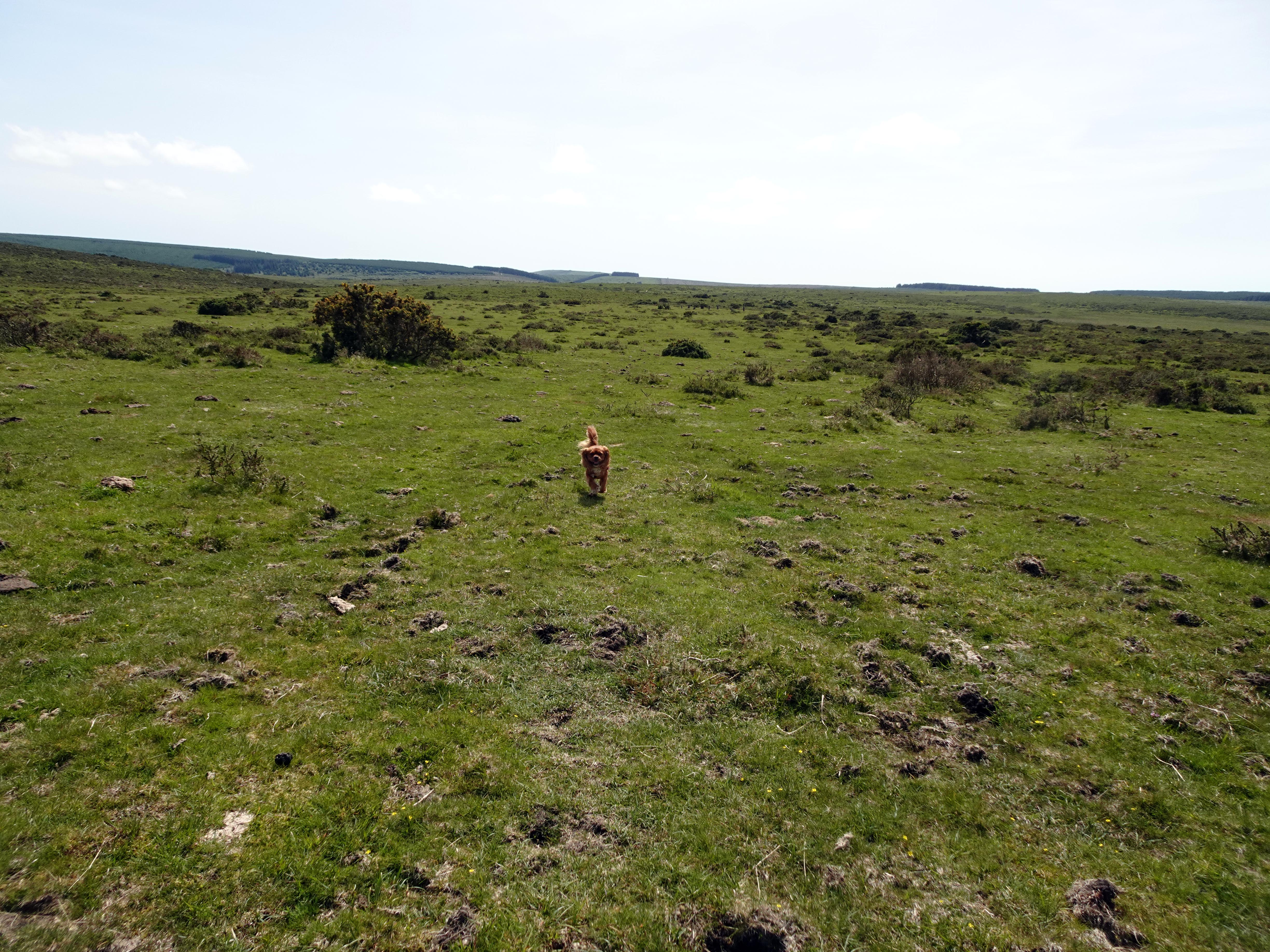
We decided to have lunch in this very special venue. Considering it was a Bank Holiday weekend in May coinciding with half‑term and the roads were chock‑a‑block to and from Cornwall as tourists poured into the county, we sat in silence without another soul anywhere in view. The only hint at the modern world was the occasional plane flying overhead. Our vantage point now was probably quieter than it was 4,000 years ago when this moor teemed with settlements and farmers.
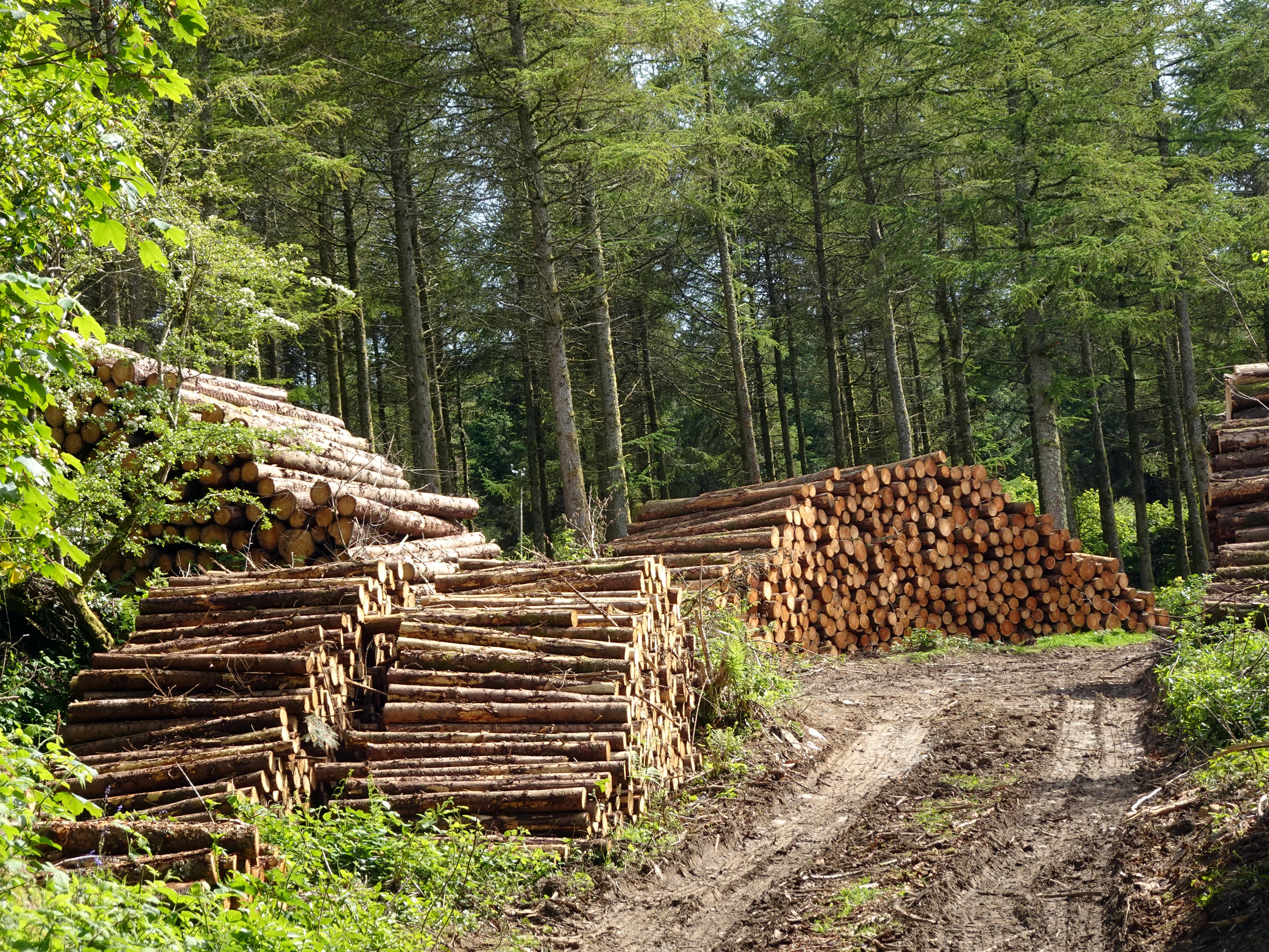
After a blissfully quiet lunch, we headed back into Altarnun parish with a slightly more northerly route to make a circuit of our journey. Coming down the hill, we saw yet more hut circles and ancient field systems, enjoyed the views from the high moorland, and then veered down back into the Lynher valley towards a farm called Newton and the tiny hamlet of Trevague through picturesque country lanes. There was a delightful ford across the Lynher but with a beautiful old footbridge looking like it had been there for centuries, which you could only reach by walking through bluebells. There was plenty of evidence of logging, and nearby was a Wheal Annie, reminding us of Cornwall’s mining heritage, in this case of tungsten and tin.
We then followed the country lane back towards Plusha, glancing back up at the moorland where we had just come from. It dawned on us that, apart from the two people whose door we knocked on at the beginning of the walk in the morning, we had not seen a single soul all day until a tractor sped by us as we were close to Plusha. The busiest weekend of the year in Cornwall and we hadn’t seen a soul. We had, though, felt as if we had met many interesting historical souls who once made this valley their home.
|