|
This weekend Rupert and I had a double mission on Bodmin Moor. Our first task was to find the smallest Methodist Chapel in the world and our second task was to find the source of the River Lynher. In a strange way this is a story of two origin stories - one helps explain the story of how Methodism caught like wildfire in Cornwall in the Eighteenth Century, the other shows where the 34-kilometre River Lynher begins before it empties into the River Tamar just opposite Plymouth and the Dockyards of the Hamoaze. Both are fascinating stories in their own right.
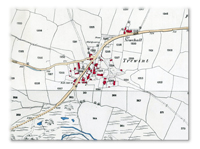
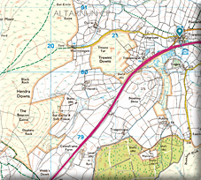
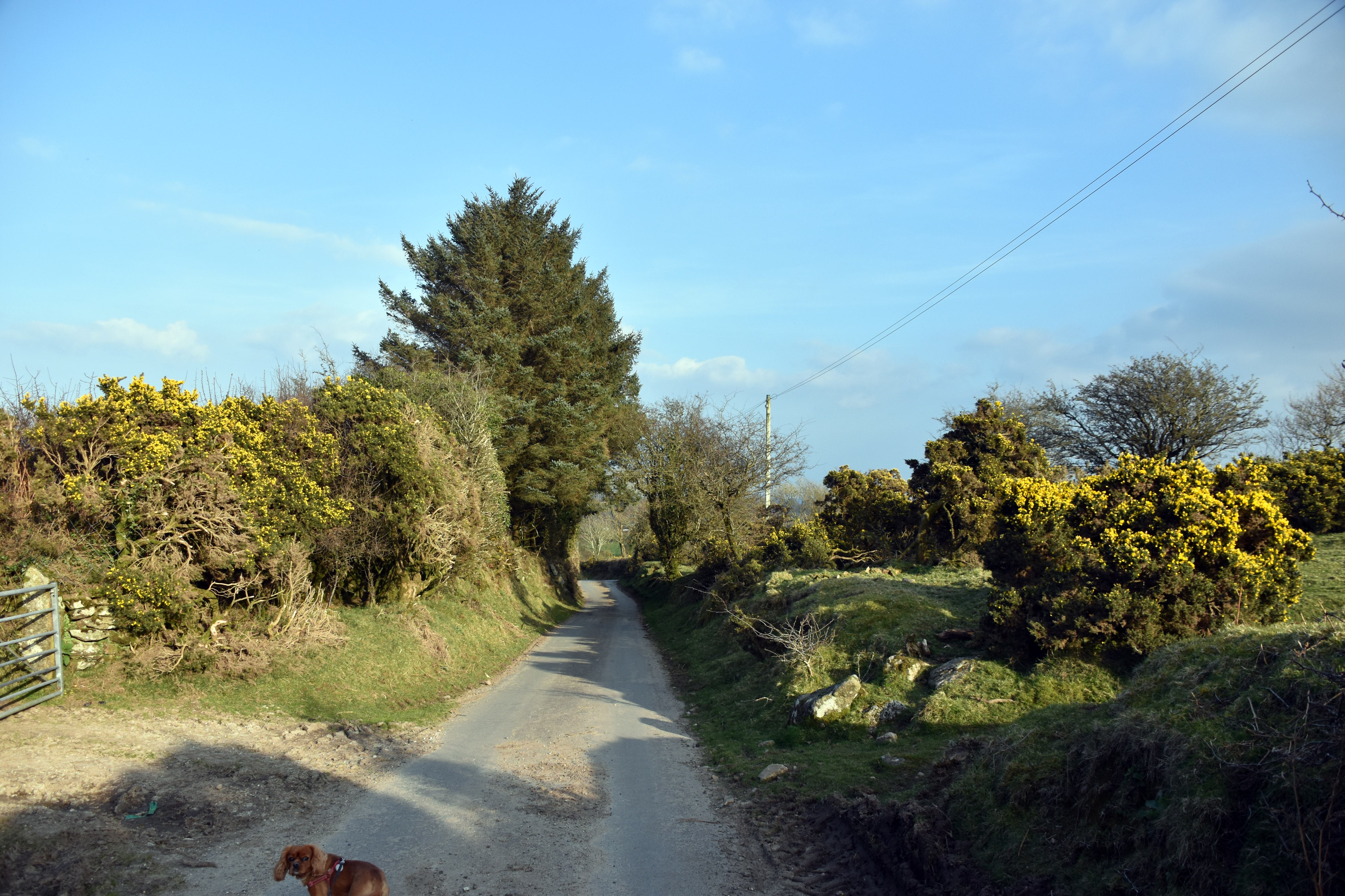
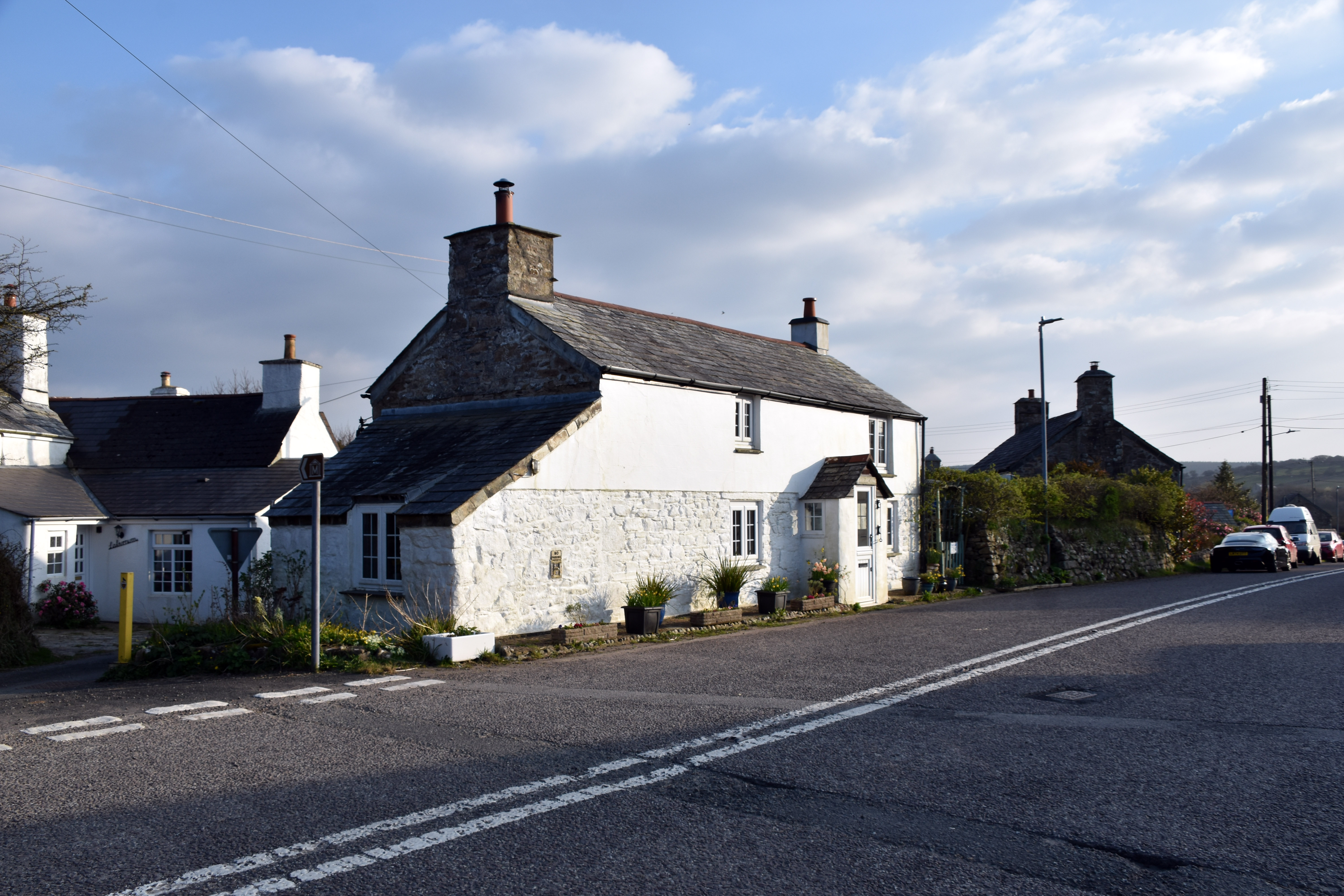
Our journey started in the village of Trewint just off the A30 which in itself is a clue to why there is a museum dedicated to such a tiny religious house here. The A30 lies fairly close to the far older road from St Ives to Bodmin to Launceston and on into Devon. These ancient routes have a habit of being used time and time again with just slight variations over the centuries. In the case of modern strategic roads they tend to be far straighter and try to avoid settlements as best they can. This was not the case in yesteryear when travel could take days, weeks or even months. These needed to link community to community in order to find food, drink, lodging and fodder for any horses or animals. Hence once upon a time Trewint lay on the main communications spine of Cornwall and that is where the connection with the Methodist Church begins.
|
|
|
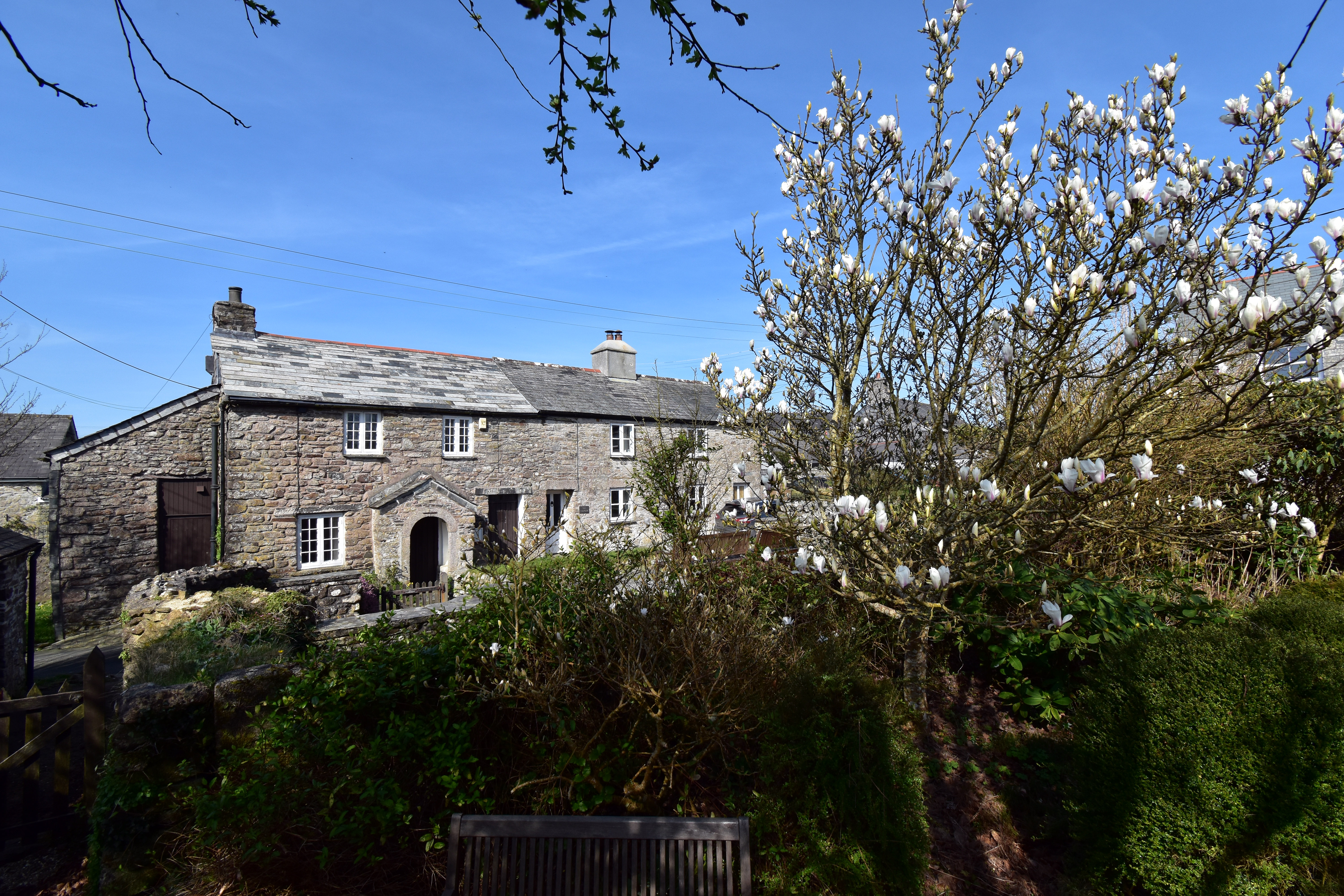
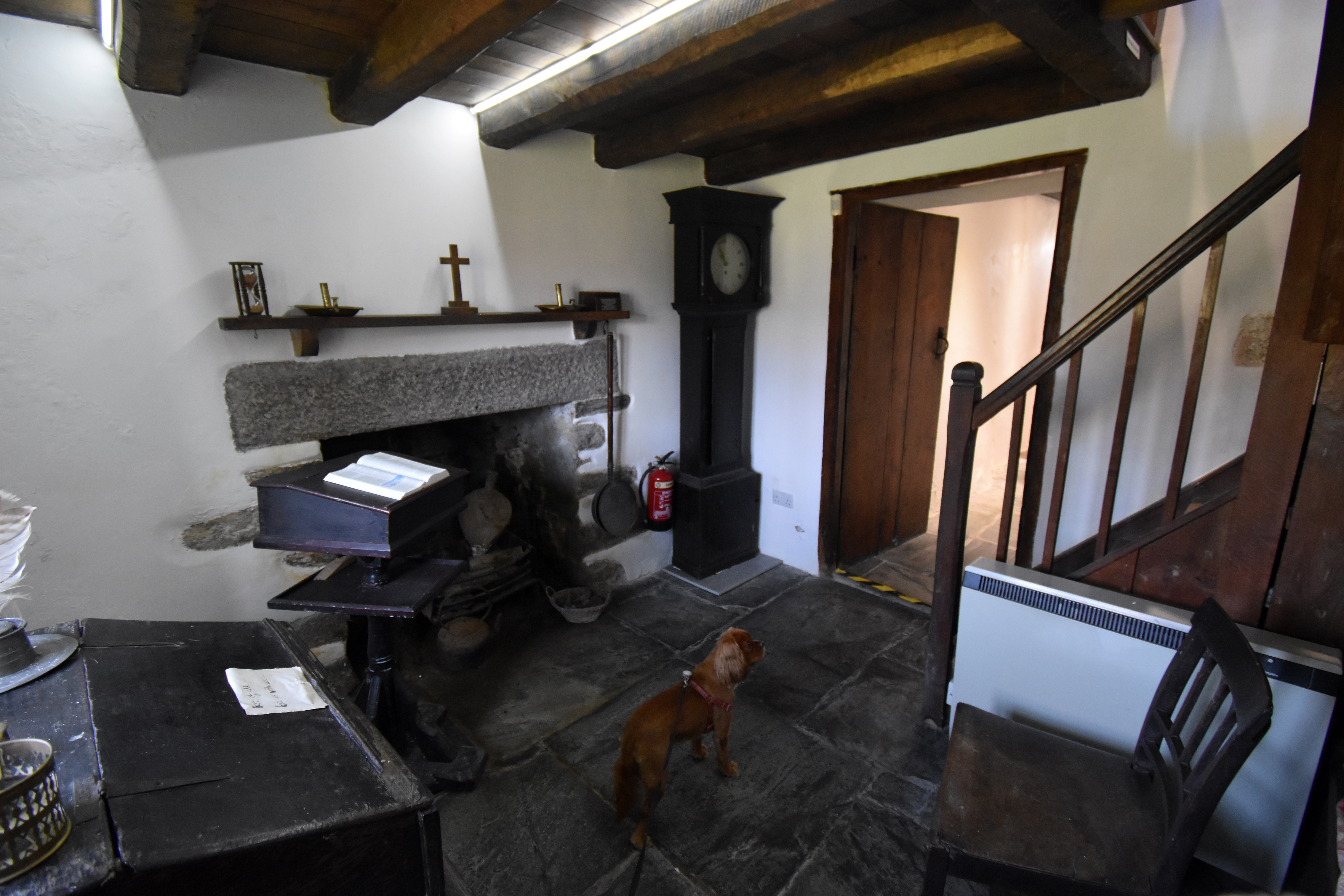
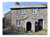
In 1743 two early Methodist preachers, John Downes and John Nelson, were headed to St. Ives with but a single horse between them. They had been travelling all day and looked for an inn before making the treacherous journey across Bodmin Moor. They knocked on a door to ask for some food and hay for the horse. A stonemason and his wife (Digory and Elizabeth Isbell née Burnard) answered the door and gladly gave them some food and fodder but refused any offer of payment from the two. On a return journey some weeks later, John Nelson got soaked on Bodmin Moor and once more knocked on this door, where they took him in again, dried and fed him and put him up for the night. They were not Methodists themselves but were moved by the prayers offered to them by the men they were helping. The stonemason remembered a quote from the Bible about a Prophet’s Chamber: 2 Kings “Let us make a little chamber, I pray thee, on the wall; and let us set for him there a bed, and a table, and a stool, and a candlestick: and it shall be, when he cometh to us, that he shall turn in thither”. Inspired by this verse, the stonemason duly set about making an extension on the side of their tiny cottage which was to be put at the disposal of Methodist preachers. They could prepare for the journey across the moors or recover from one.
|
|
|
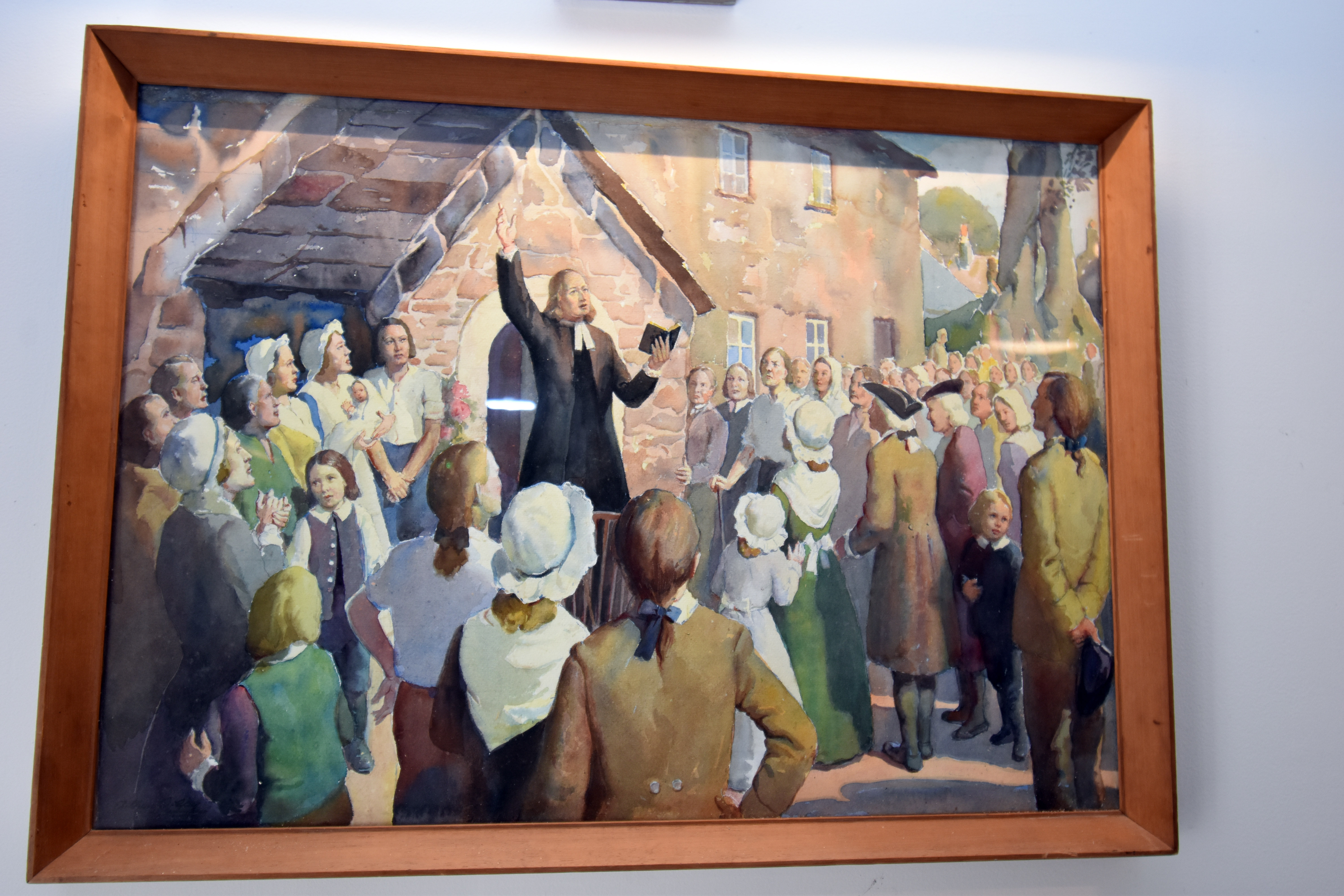
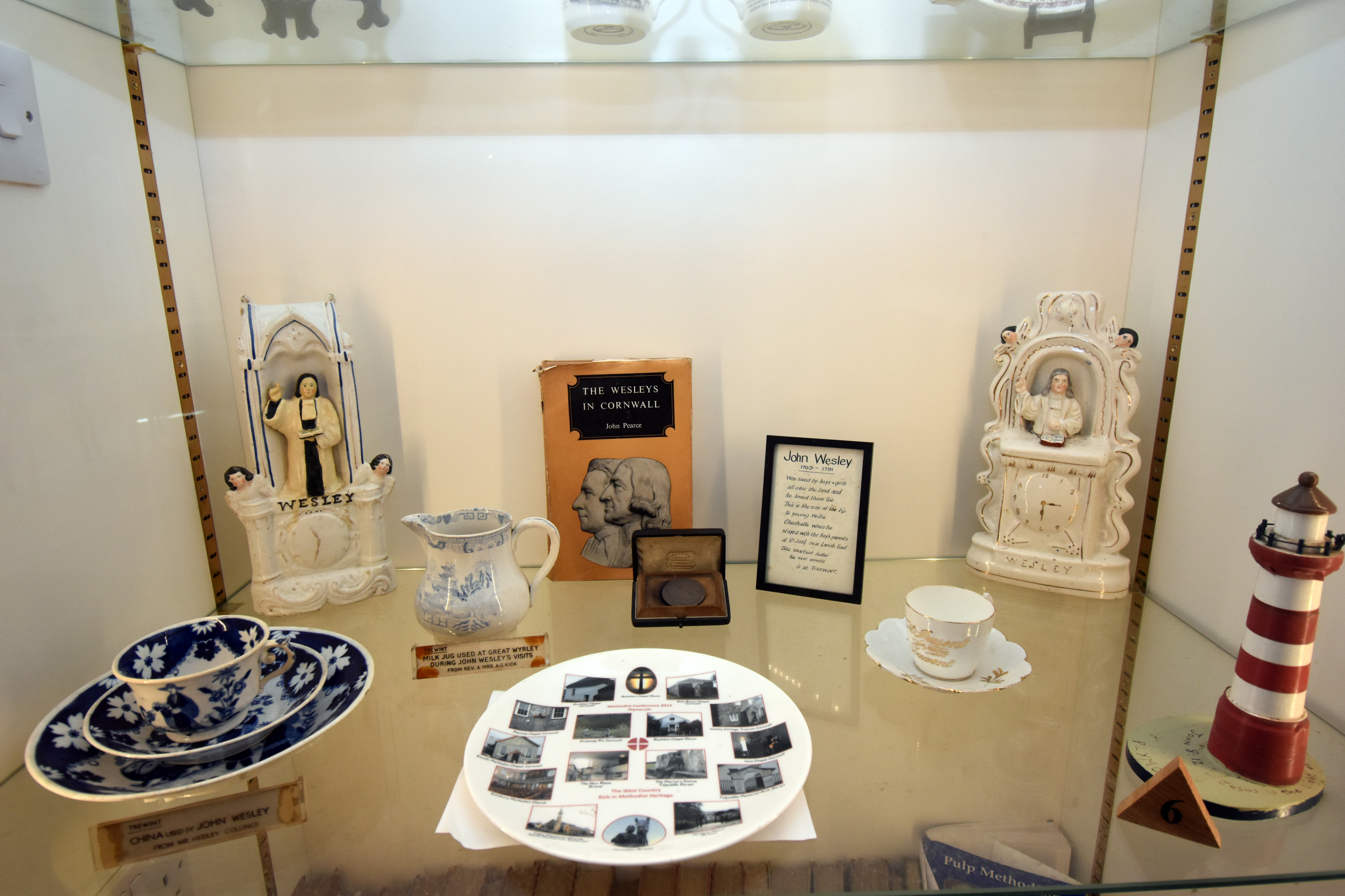
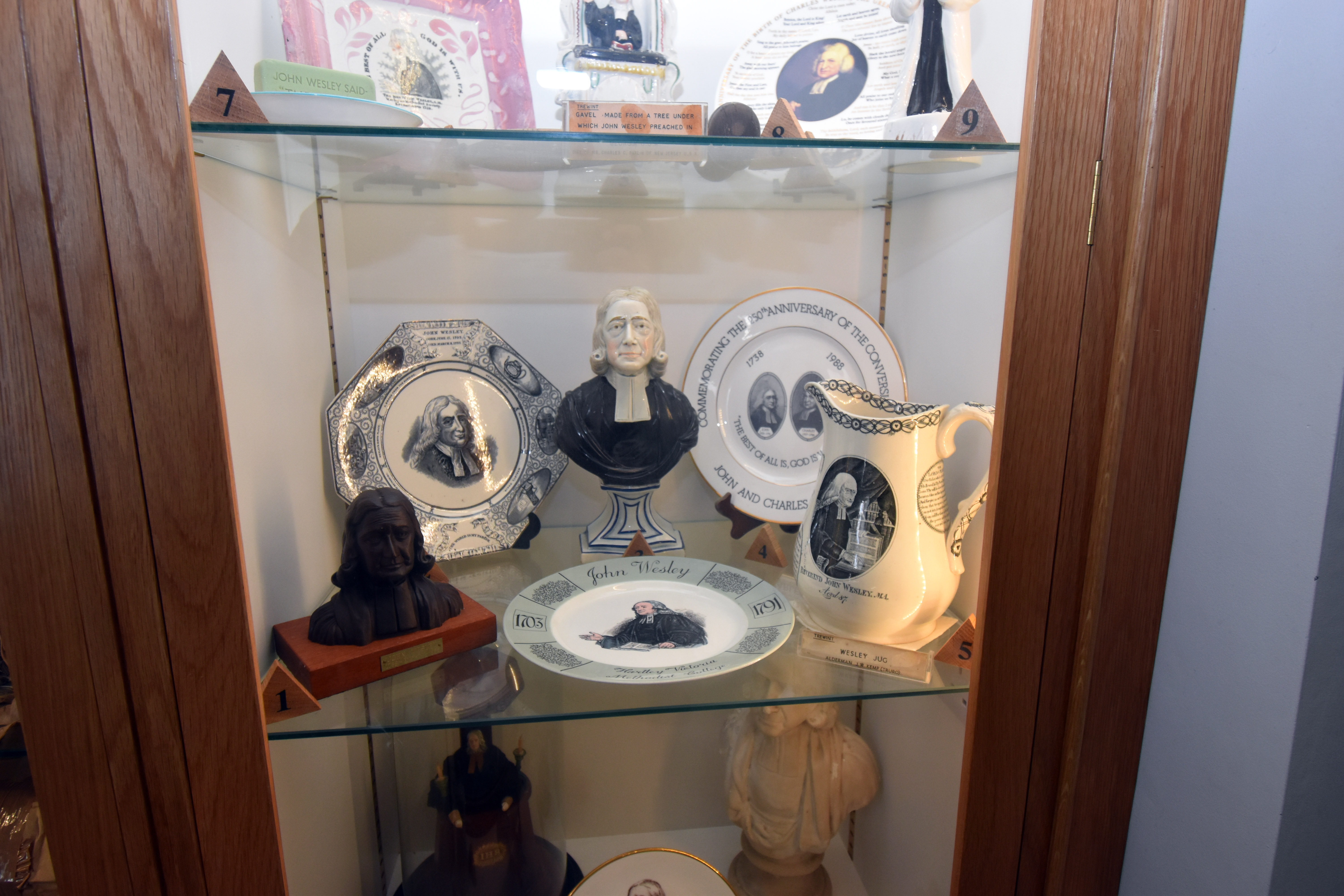
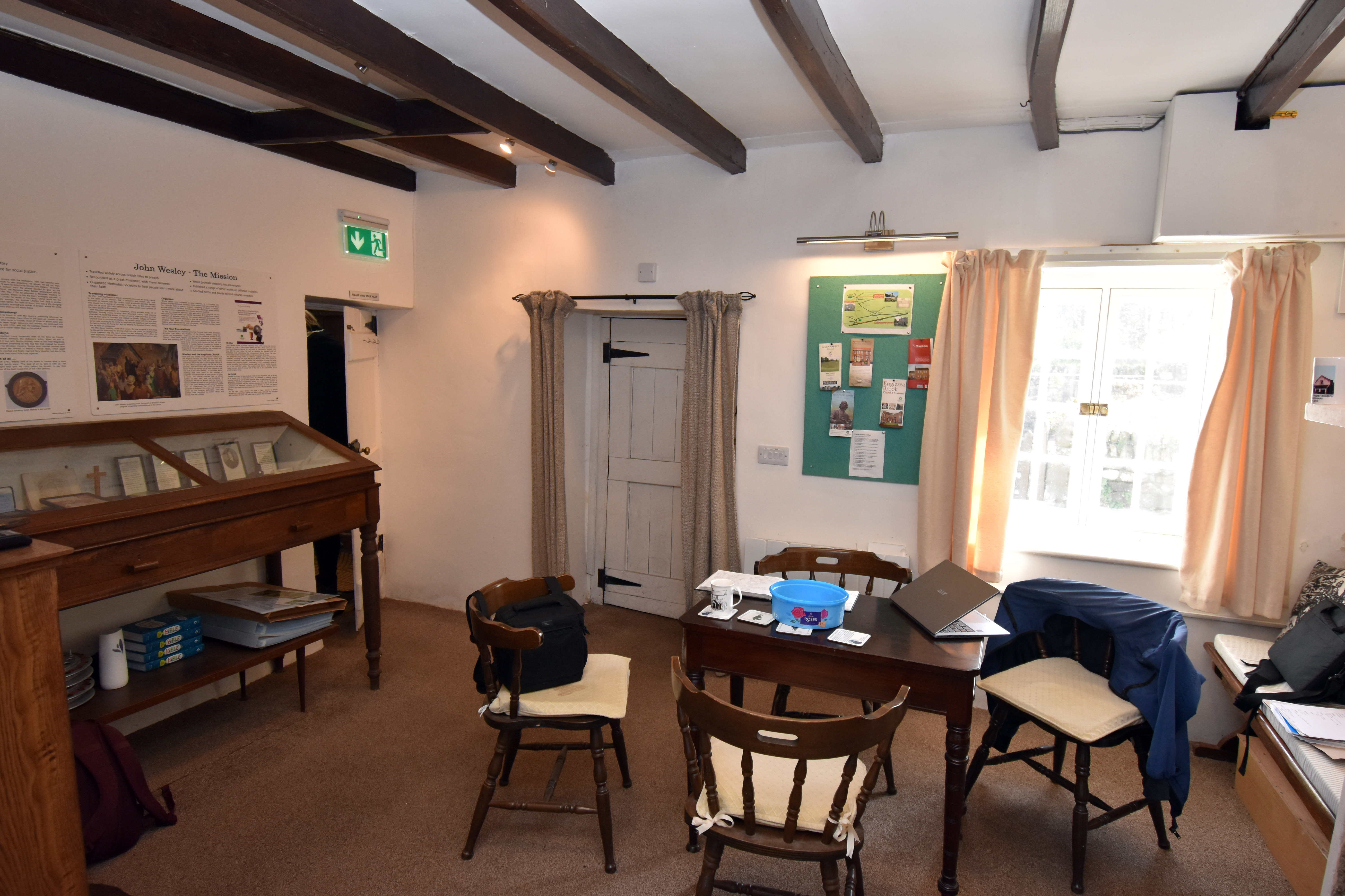
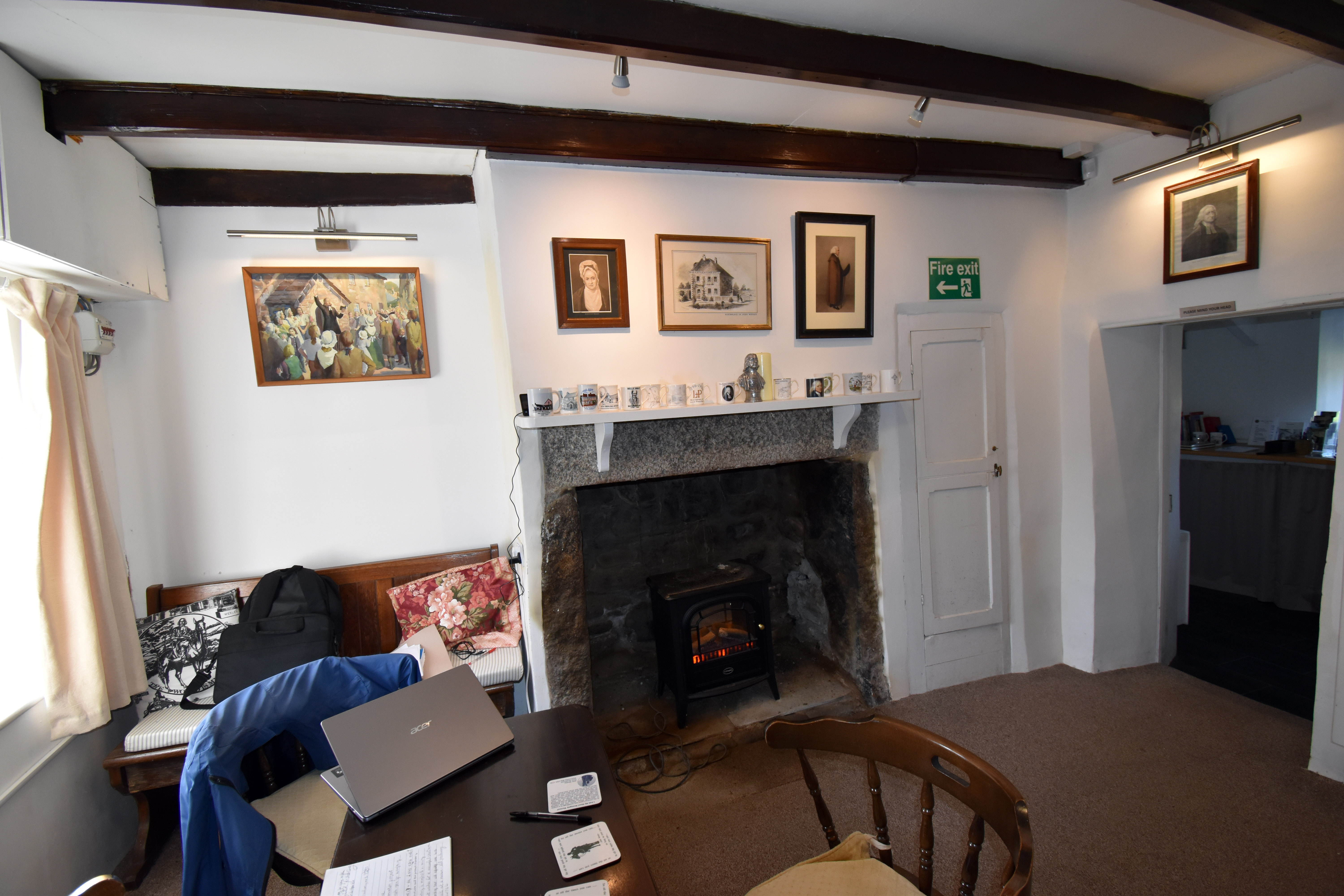
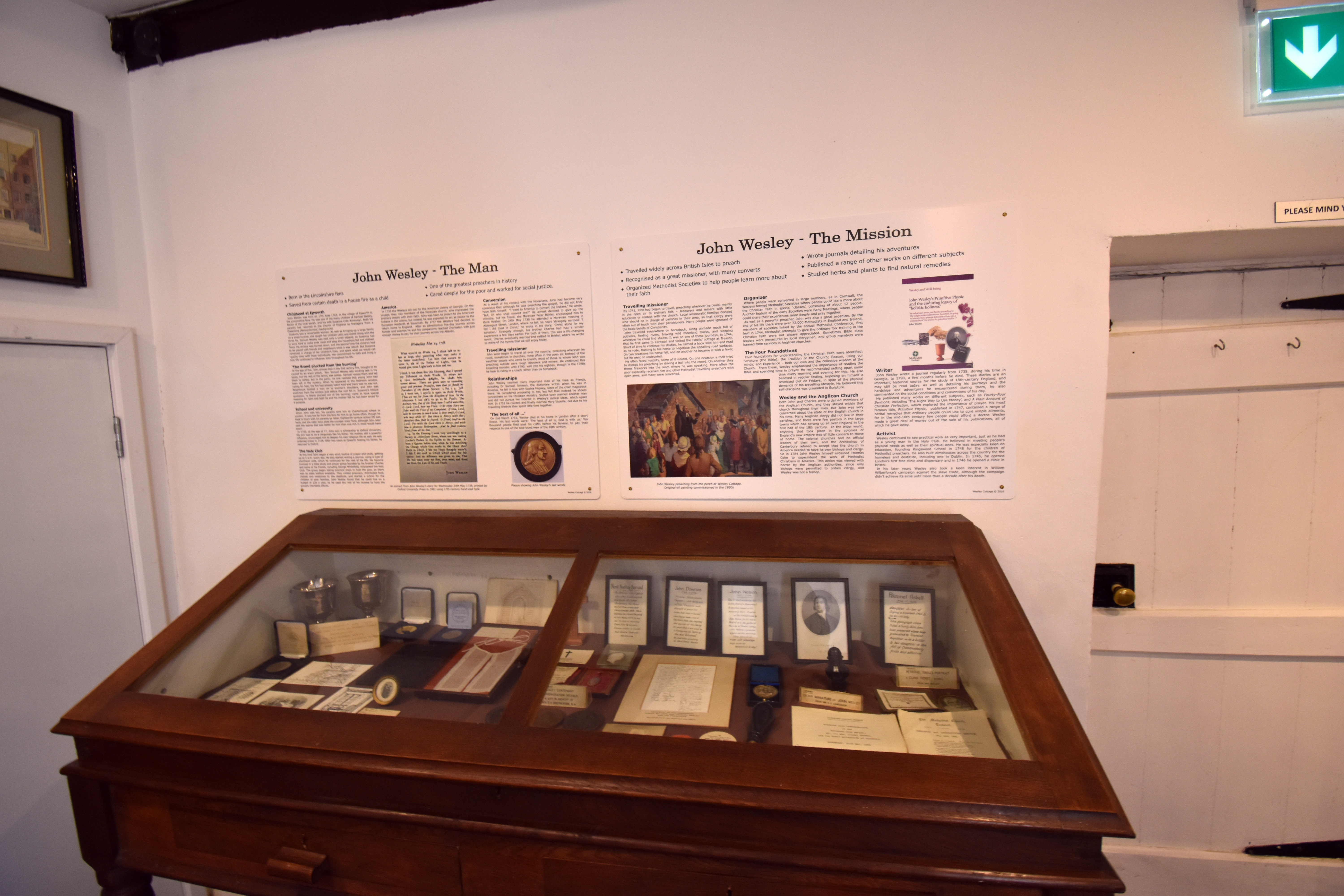
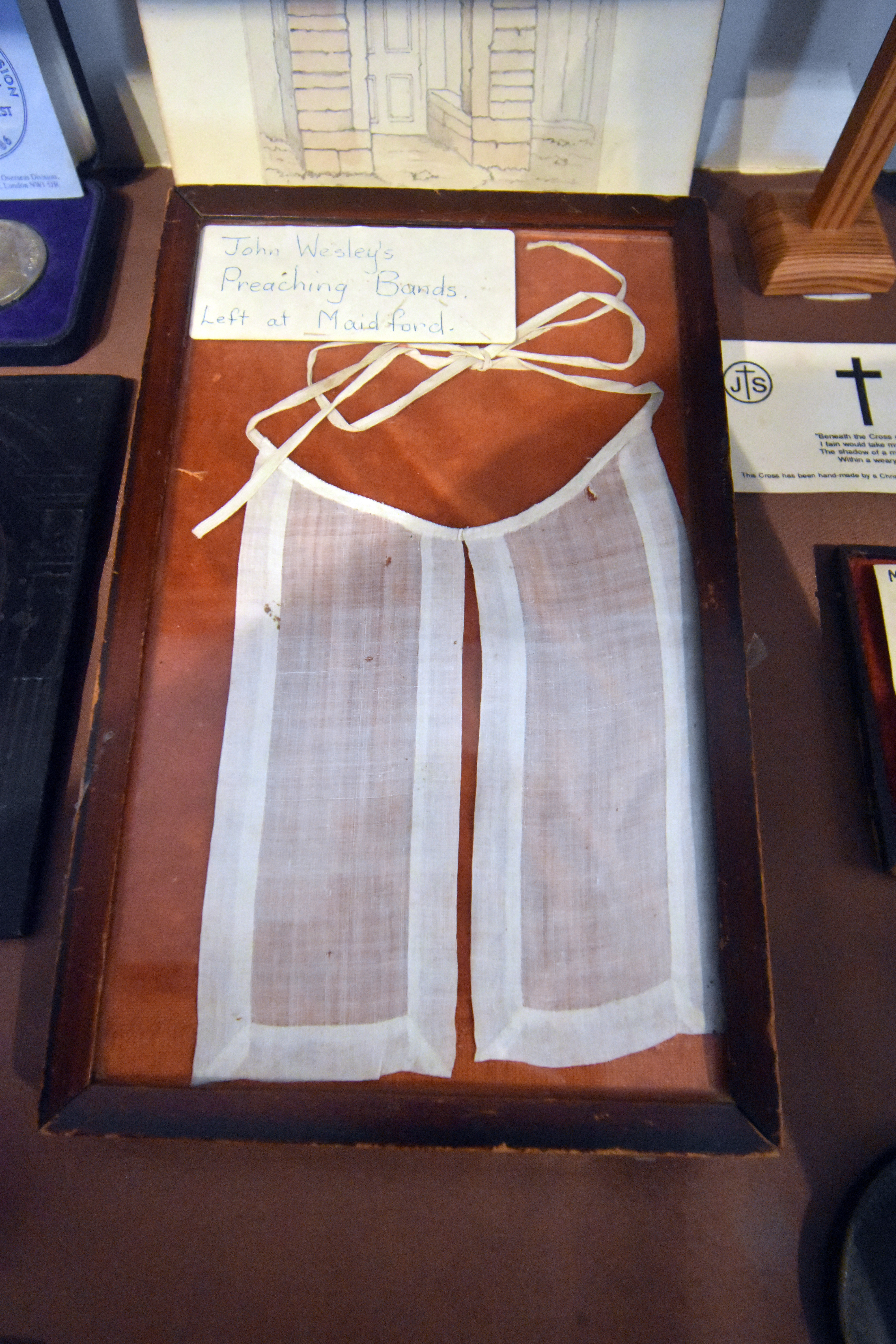
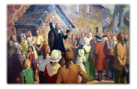
The museum actually includes the Isbell’s cottage AND the Prophet’s Chamber which is basically the door in the middle (a later cottage was added separate from the Isbell’s home and the Prophet’s Chamber). The middle door leads to a small little section at the back of what was their house where the preachers could meet, study and organise themselves without disturbing the Isbells. This minuscule room is the smallest Methodist Chapel in the world and I can’t imagine there being many smaller churches, synagogues or temples of any denomination anywhere in the world! Swinging cats would get you in real trouble in this room. The stonemason added a tiny bedroom above this reception room where they could stay the night. Many Methodist preachers would use it over the years and John Wesley himself used it at least half a dozen times including when it was snowing on the moors. His fame was such that people came from miles around to hear him preach and the rather diminutive if powerful speaker took out his stool in front of the Prophet’s Chamber and conducted at least one open air sermon right here in Trewint. There is a painting of the event in the museum.
Trewint became a key node to allow the Methodists to spread their message across Cornwall where it fell on unusually fertile ground. Cornwall soon became one of the key bedrocks of Methodist support and chapels appeared all over the county as the locals appreciated its message of self-help and of a personal relationship to God that did not need to be mediated by clergy. It did not help that Cornwall’s Anglican Church was based far away in Exeter, that most Anglican vicars were the sons of the great and good and that new mining and industrial communities were springing up far from the old established parish churches. Methodism filled a spiritual vacuum in the county but it could not have happened without people like the Isbells opening their hearts and literally their homes to these pious preachers.
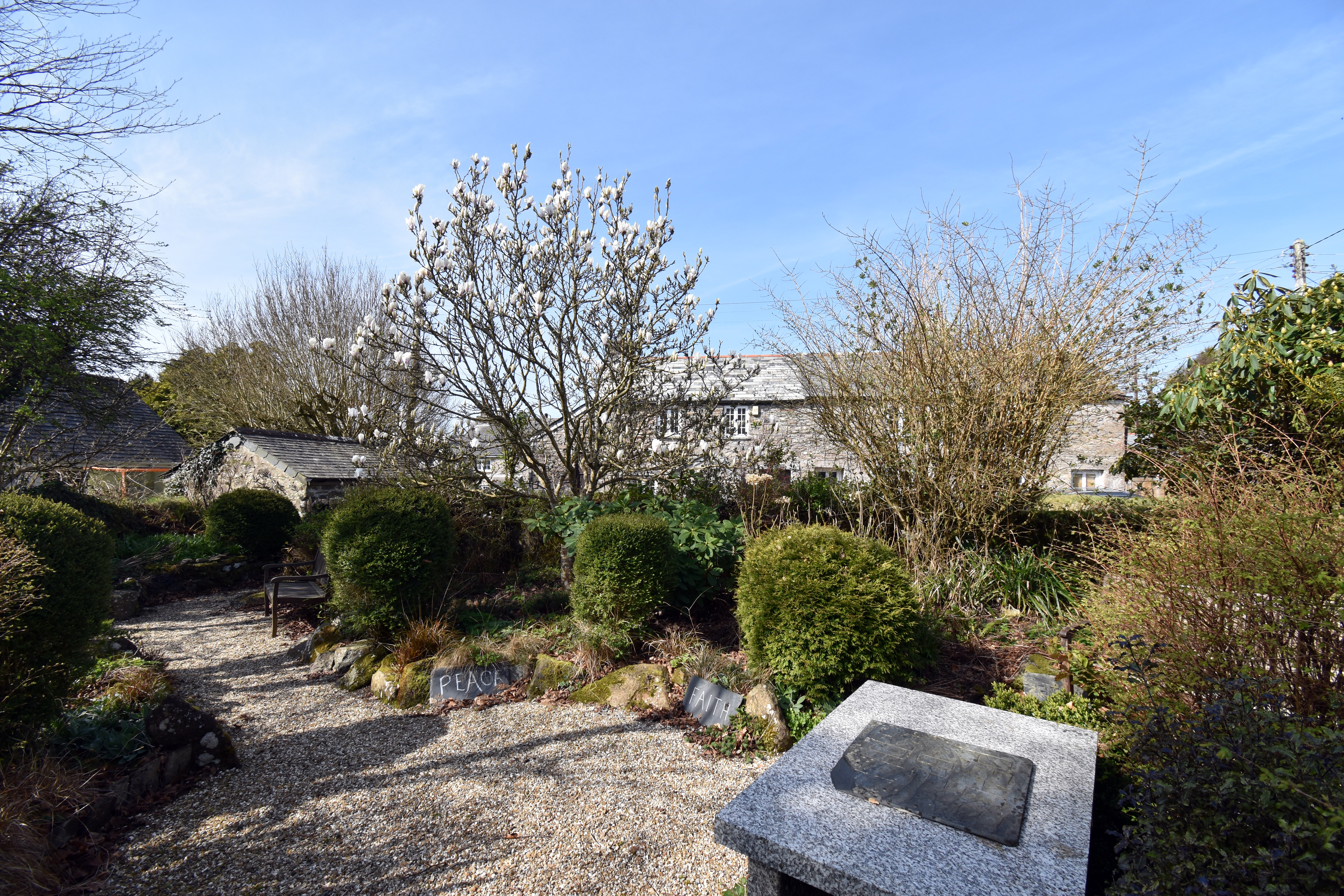
This museum and chapel isn’t normally open to the public at this time of year, but the curator of the museum kindly agreed to open it up for us to take a look around and gave us a guided tour (which admittedly doesn’t take too long given its size). It really does feel like a special place though and there is a beautiful garden and picnic area opposite the cottage and chapel. It was interesting to contrast this early Methodist historical site with the early Baptist site at Loughwood which we visited in East Devon the other week and we thought that chapel was small! The weather was perfect for us, but you have to remember just how high up we are on Bodmin Moor and how intimidating this part of the journey really could be for travellers in the eighteenth century. As it is a fully fledged chapel, you can get married in this tiny building - if you have very very few people you wish to invite to your wedding!
|
|
|
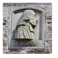
Oh and by the way the Isbells were both descended from stonemasons and relations of theirs would go on to become famous sculptors all over Devon and Cornwall including James Isbell who worked on Dartmoor Prison, Robert Isbell of Stonehouse who worked on many municipal buildings which still stand in Plymouth, James Isbell of Truro who worked on many churches in Devon and Cornwall and most famously of all Nevil Northey Burnard who sculpted the likenesses of many of the giants of the Victorian era including William Gladstone, Lord Macaulay and Prince Albert. Of course it makes sense that stonemasons would come from a place like Trewint or the neighbouring town of Altarnun close to so many sources of granite on Dartmoor. In fact, we would see plenty of evidence of stonemasons splitting granite on our walk today. Sometimes geography is destiny - if life gives you granite, become a stonemason!
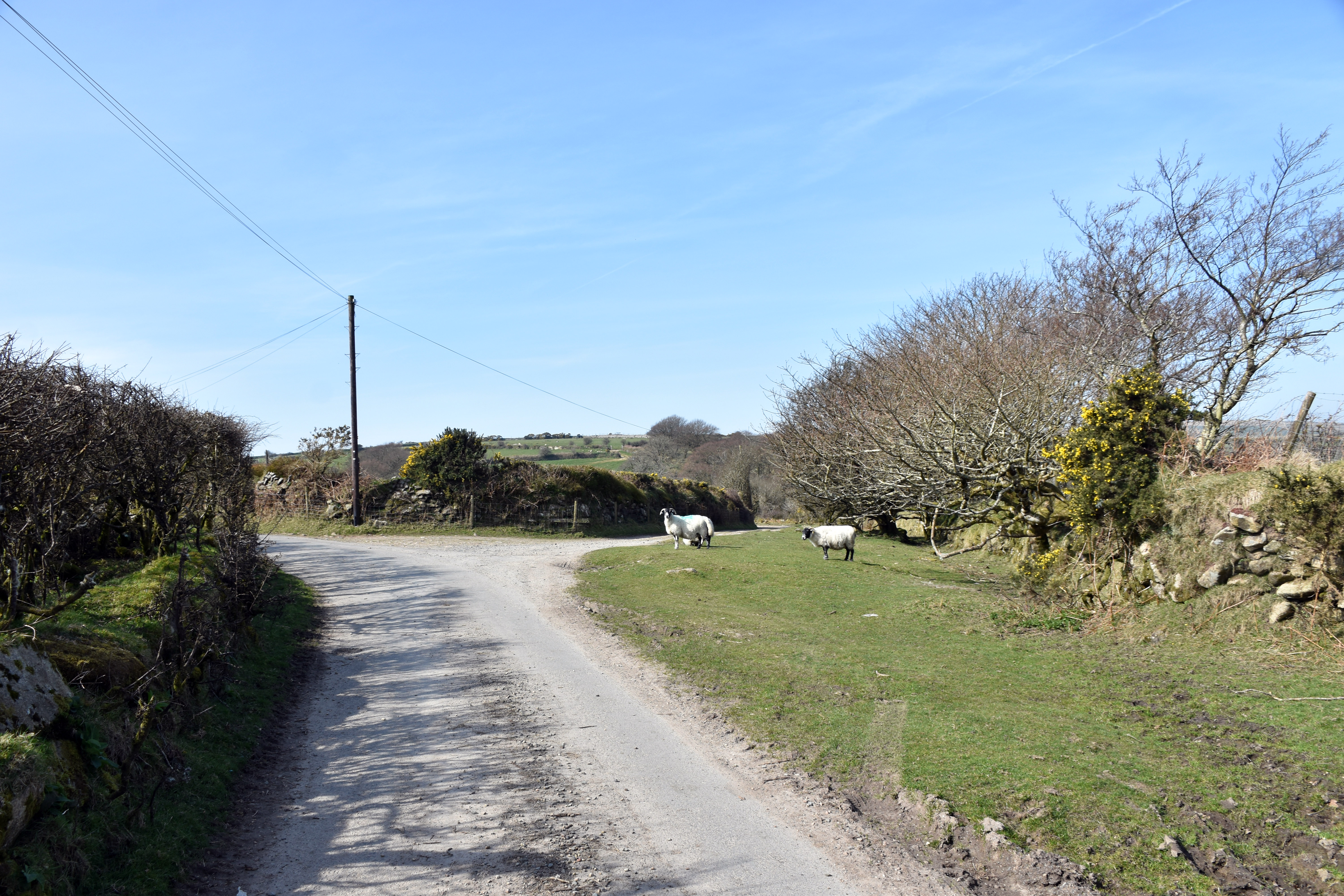
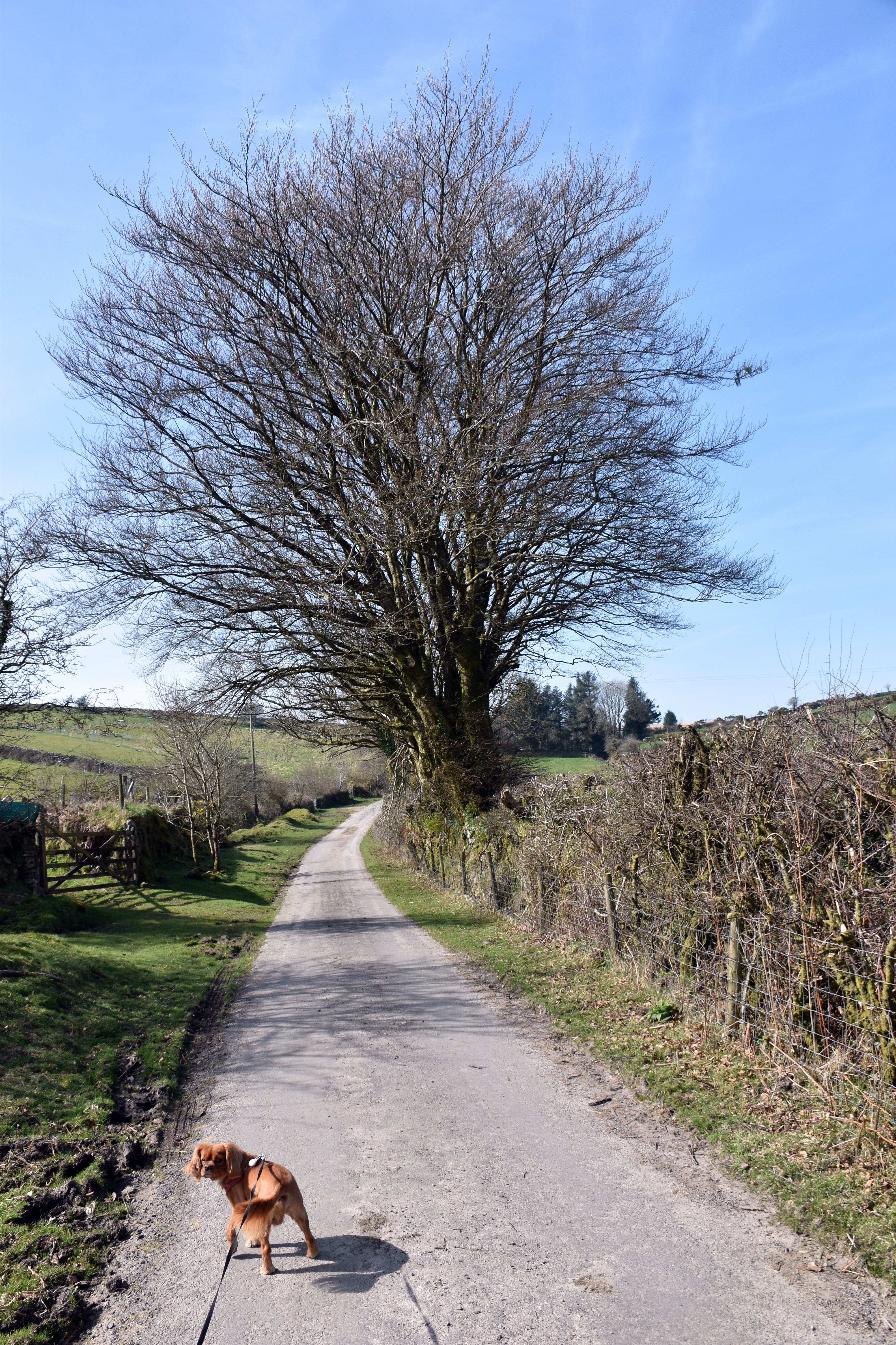
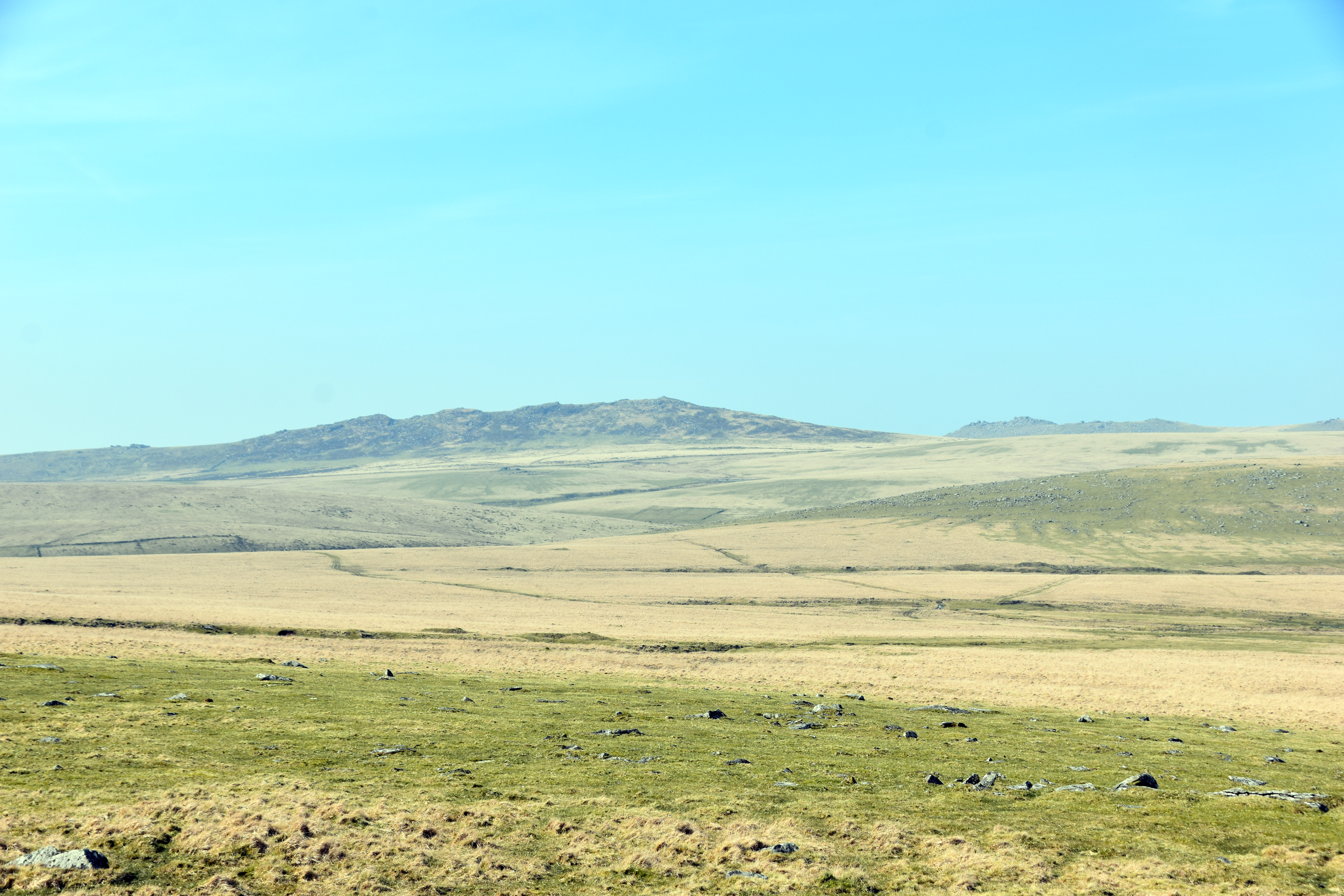
From finding one of the earliest sources of the spread of Methodism we set off to find the source of the River Lynher next. From Trewint we headed due west towards the suitably named Westmoorgate where you burst straight on to the Moors. Within minutes you feel as if you are deep on the moors with Rough Tor and the highest point of Cornwall Brown Willy straight ahead of us. As we climbed upwards we heard dark rumbling above us and managed to spy some American B-1 bombers and a KC-135 refuelling tanker. These are almost certainly destined for Iran, the planes takeoff from RAF Fairford with full loads and minimal fuel. The take off is the most fuel inefficient part of any flight. They then fly over the South West of England to rendezvous with the KC-135 tankers and fill up before making the long journey to the Middle East. It was sobering to think that these were not training flights we were witnessing but fully fledged combat missions and these planes would deliver an awesome payload. These were not the only planes to accompany us, not too far away is Newquay airport and so we saw a steady stream of less threatening planes and helicopters fly over us throughout the day.
|
|
|
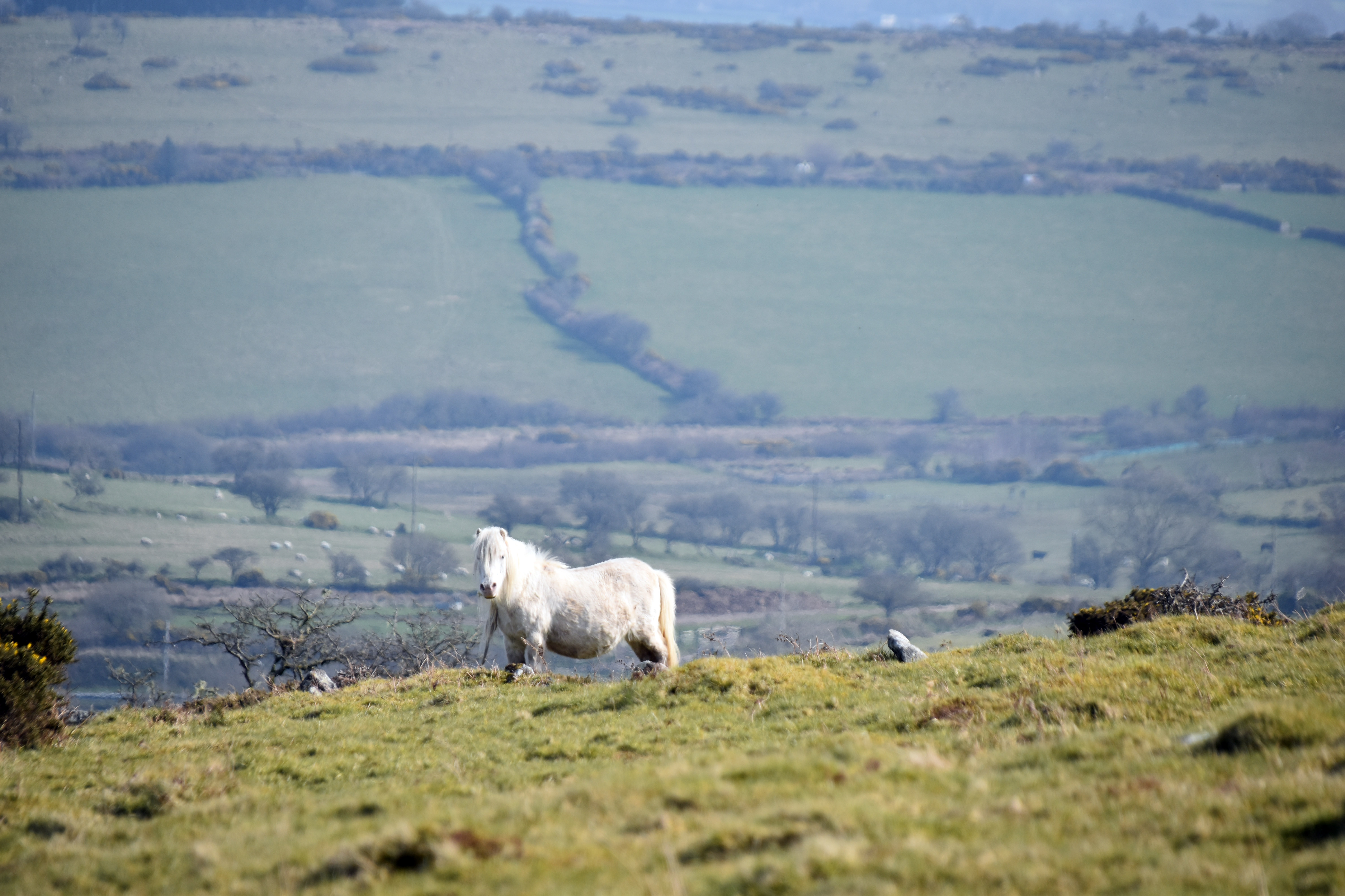
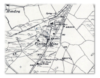
This whole area is known as the Hendra Downs and atop it sits ‘The Beacon’. These Hendra Downs have known tin mining for centuries if not millennia although the area particularly exploded into life in the Victorian era when the industrial revolution allowed them to dig deeper and be more ambitious in their efforts. It’s hard to convey just how much mining took place in Cornwall, you can barely walk a kilometre in any direction without seeing multiple mine shafts or evidence of open cast mining. Most of the mine shafts in this area came in the Victorian or early Edwardian era where steam power allowed the pumping of water, the winding of ore and men up and down the shafts and crushing the ore on the surface. In the two kilometres between the village of Trewint and the summit of the Beacon on Hendra Downs must have been dozens of shafts and many competing mines. The biggest was actually Vincent Mine which straddled the current A30 below us on private farm land and so a bit tricky to explore. This started as a tin mine but found a new lease of life as a Tungsten mine (which they called Wolfram) when World War One broke out and Tungsten was particularly useful in the production of artillery shells.
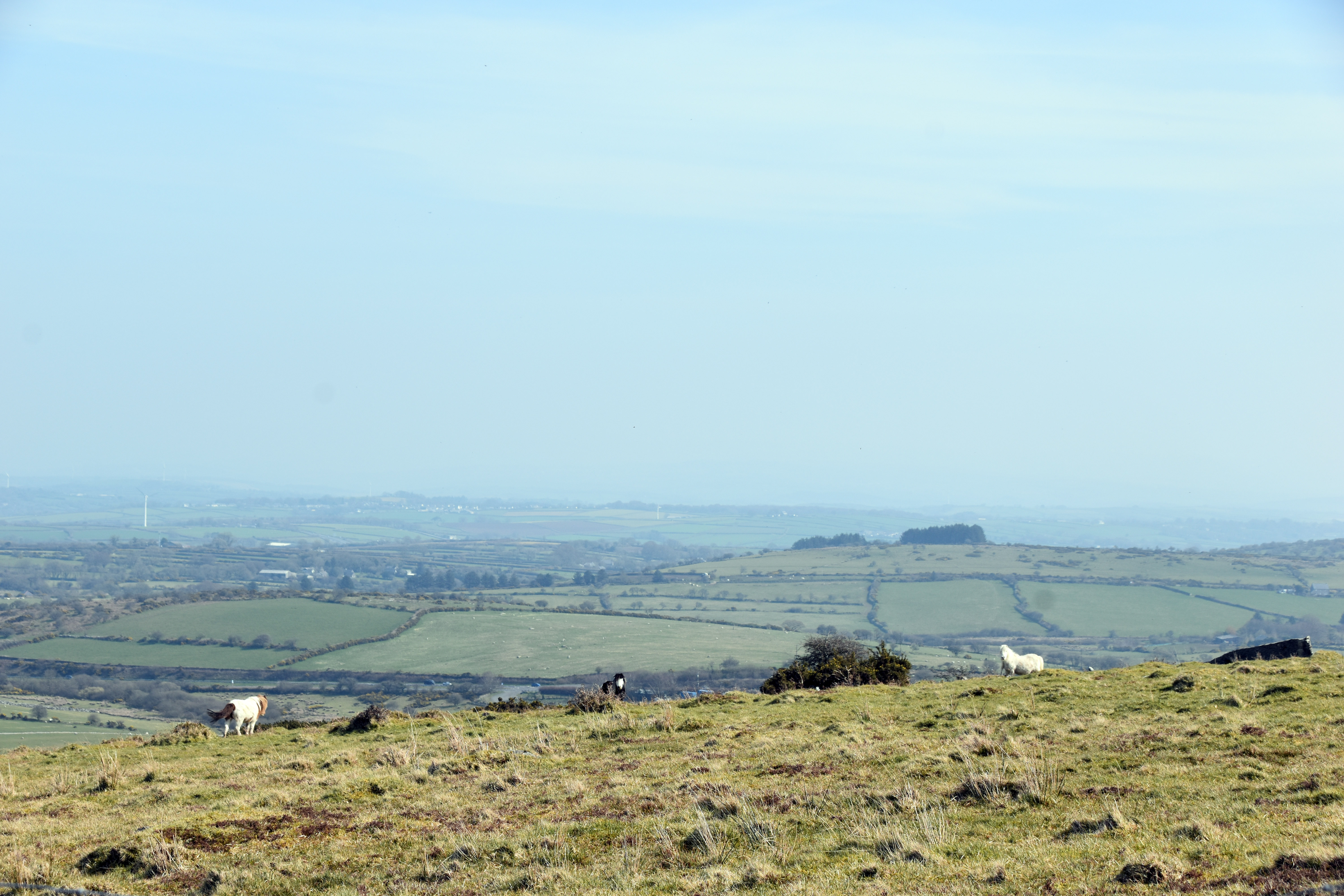
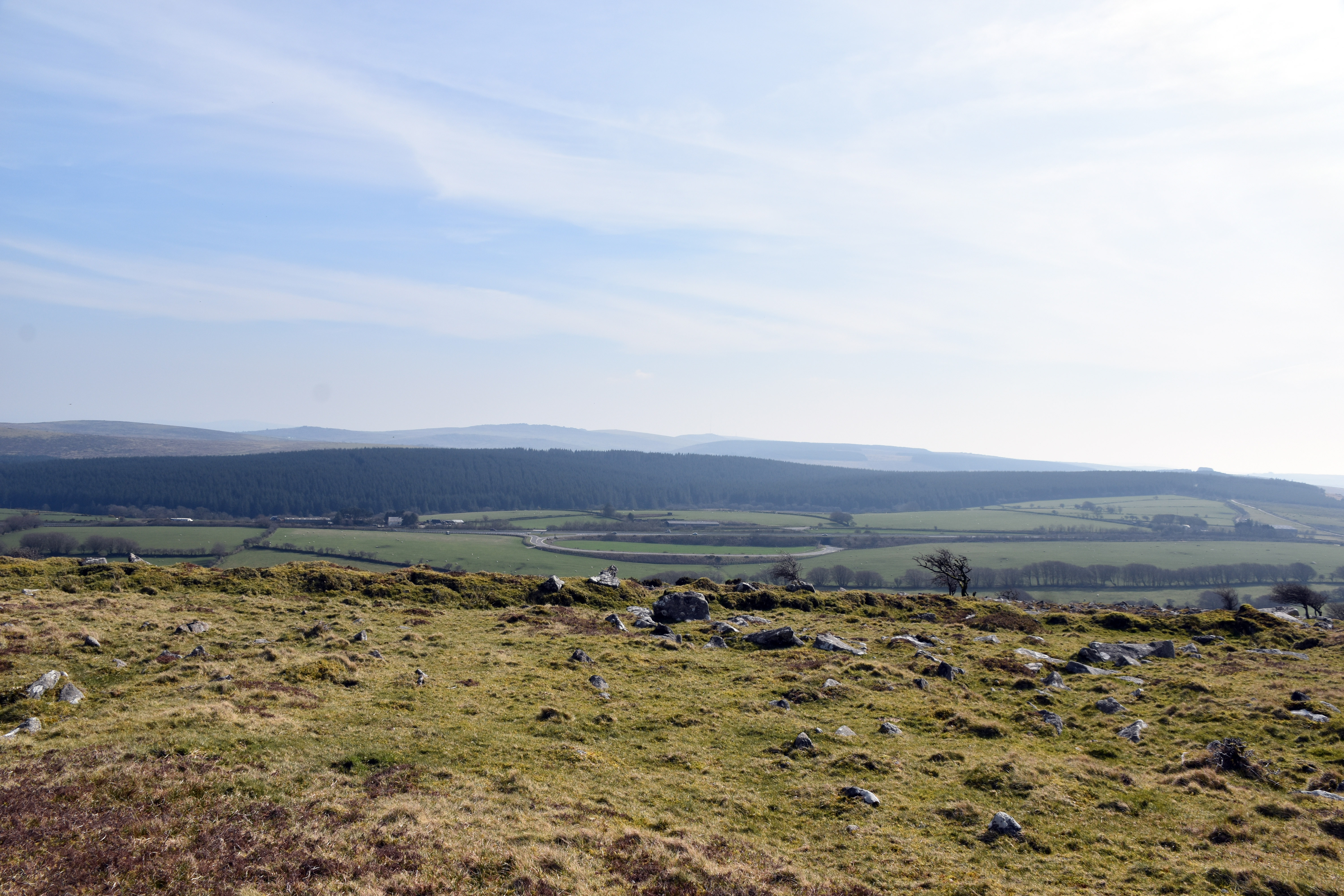
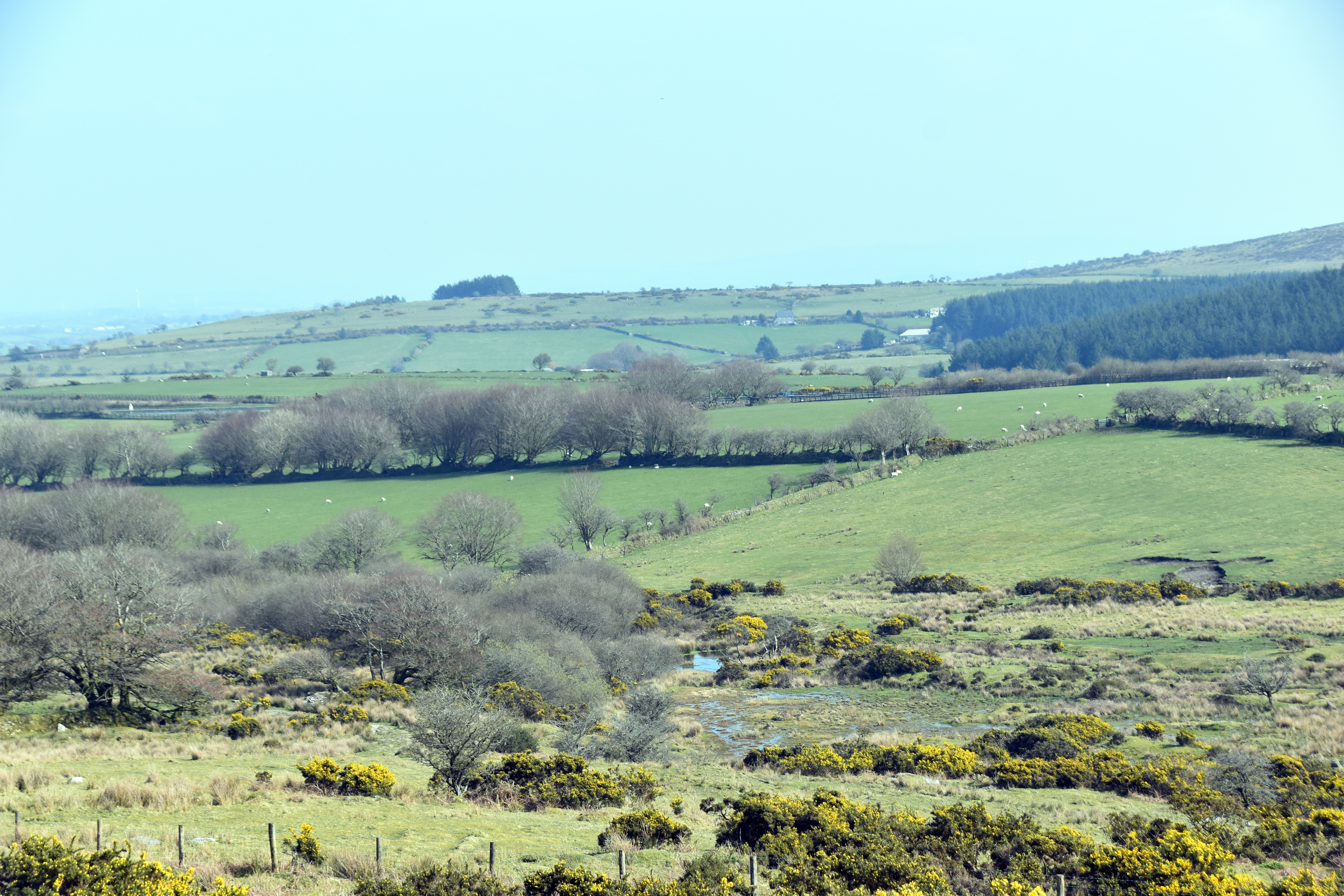
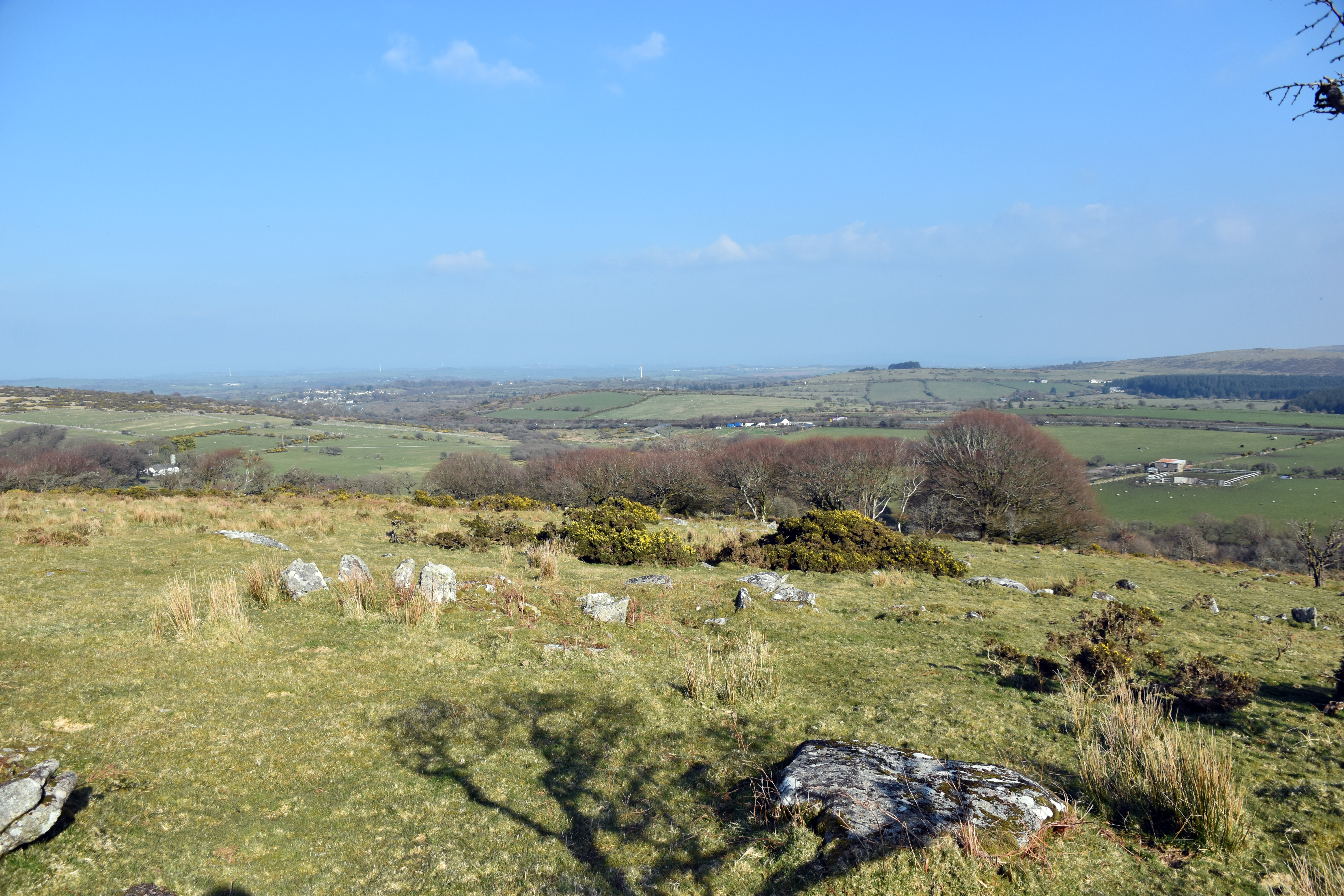
The name of the hill ‘The Beacon’ denotes that at some time or other it really was part of a fire beacon relay system especially as this area is the highest part of Cornwall and close to the main road through the county too. There are beautiful views over to Brown Willy to the West, up to Davidstow airfield to the North and down to Colliford Lake (actually a reservoir) to the south. But what makes The Beacon at its 369 metres of height particularly interesting to us today is that it represents the very uppermost edge of the River Lynher watershed. So a drop of rain that lands on the West of the hill will emerge into the English Channel in the River Fowey. A drop of rain that lands on the east of the hill will seep into the River Lynher and emerge into the English Channel from Plymouth Sound. This meant that we were close to finding the source of the Lynher.
|
|
|
Before setting off I had looked at the Environmental Agency’s maps of the watershed which placed the source of the river close to the Cannaframe Junction near to Cannaframe Farm. This meant that the source was fortunately on Open Access Land - although only just! Now Cannaframe Junction is a curious and distinctive piece of highway engineering perfectly easy to see from the height of The Beacon. Once upon a time the main road ran just a few yards to the south east of the present A30 dual carriageway. Indeed there are a few kilometres of abandoned highway still present if you wish to walk along it. But when they built the new dual carriageway the local farms could no longer access their properties due to the raised dual carriageway, so a big junction was added to allow local farmers to continue to get to and from their farms - hence this surprisingly large junction which appears to service no obvious roads! We just had to head towards it from the Beacon and we should come across the source of the Lynher. Annoyingly though despite all this being Open Access Land, the gate at the top of the Beacon was locked and there were no formal crossing points or styles. So we had to climb up on the wall and step over the wire fence. We could have climbed over the gate but it was a bit muddy there and the wall was actually easier to climb thankfully.
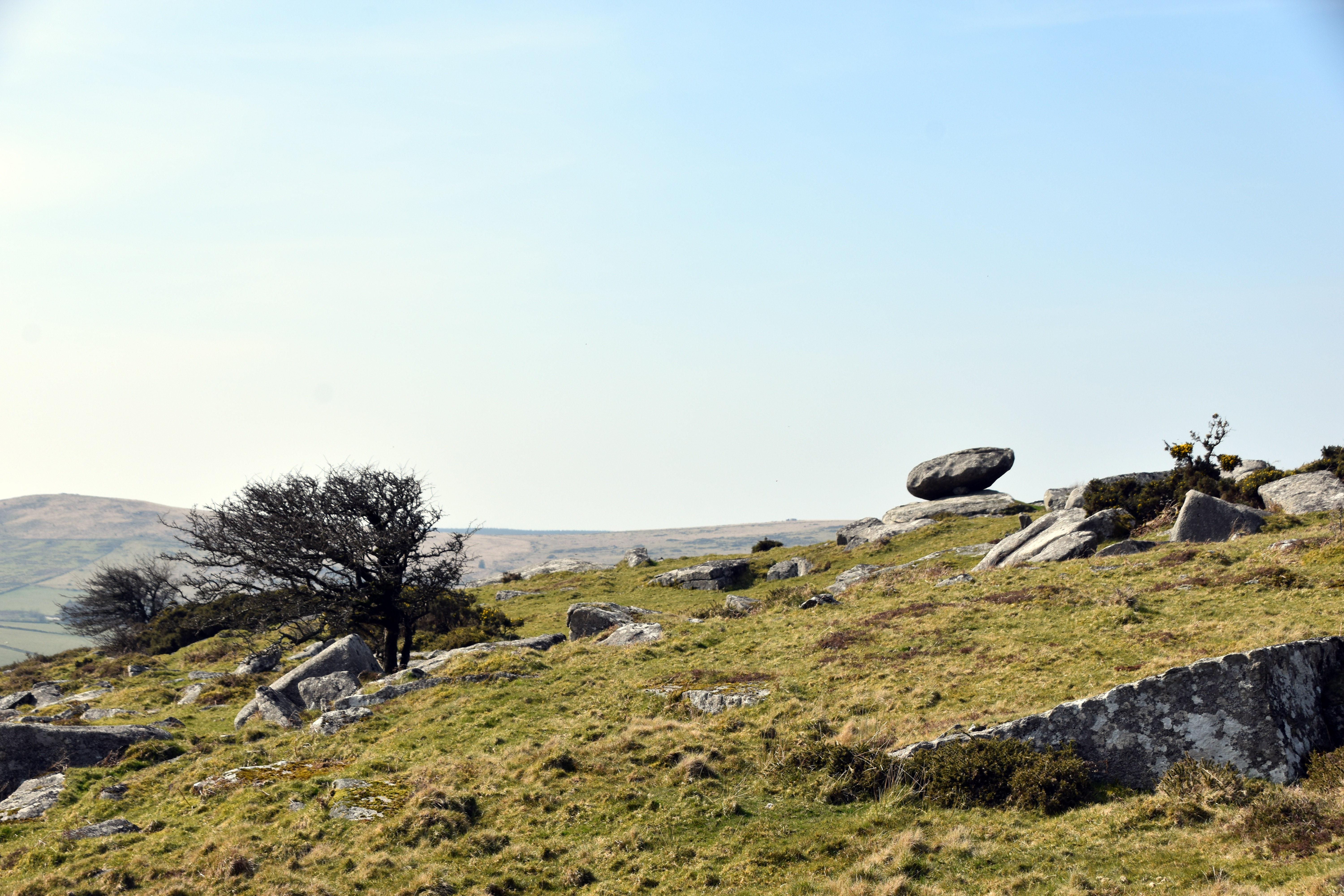
On our descent we did take a little detour to head to the curiously named Elephant Rock which is a Logan stone on the southern slope. Logan stones are where weathering has reached a point where it can rock back and forth and are thought to have been particularly prised by prehistoric peoples as places to meet or hold ceremonies. I have to say that I struggled to see any resemblance to an elephant but it has had this name for a couple of centuries when I look at old maps of the area - so somebody must have made the connection at some point!
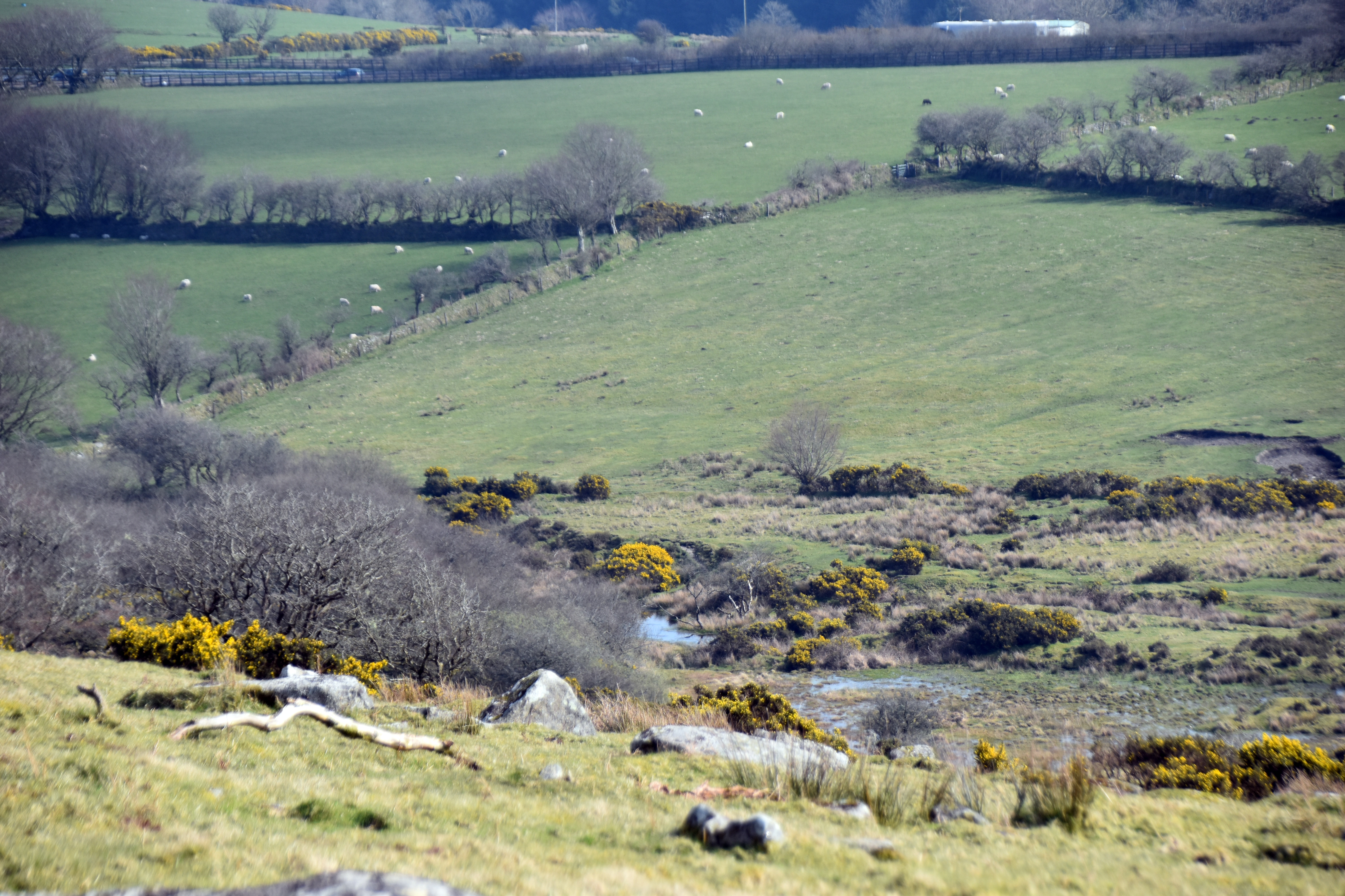
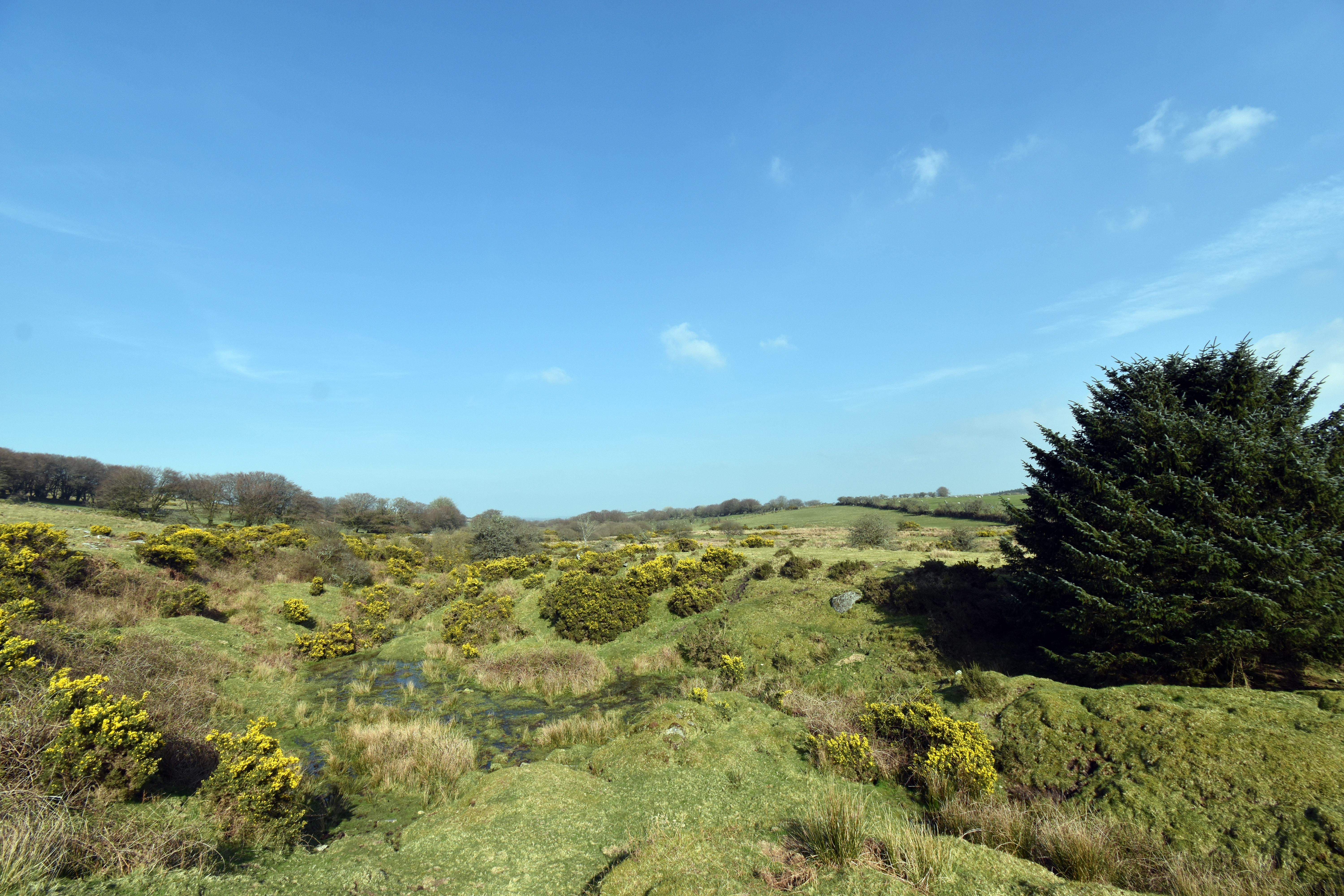
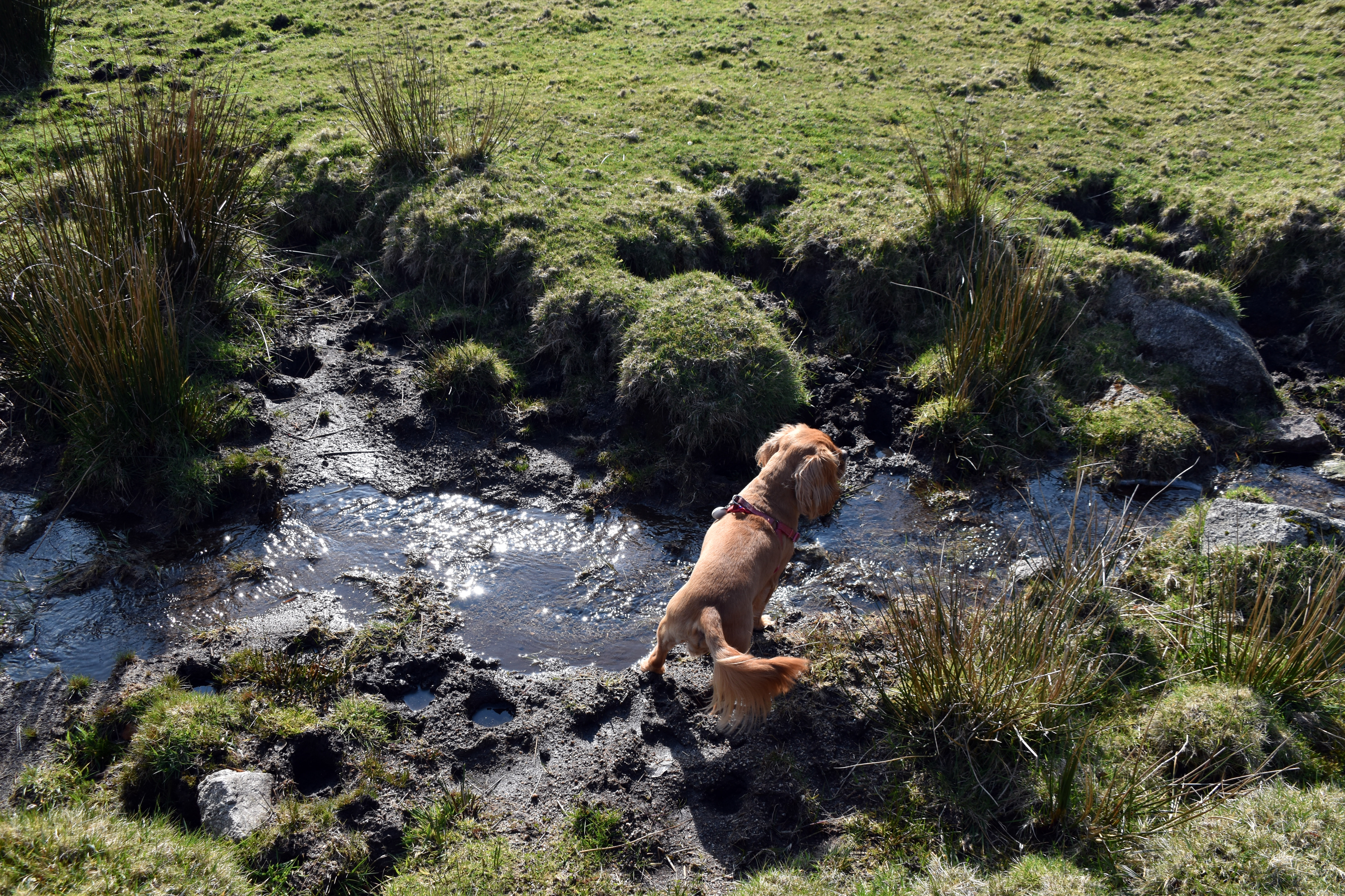
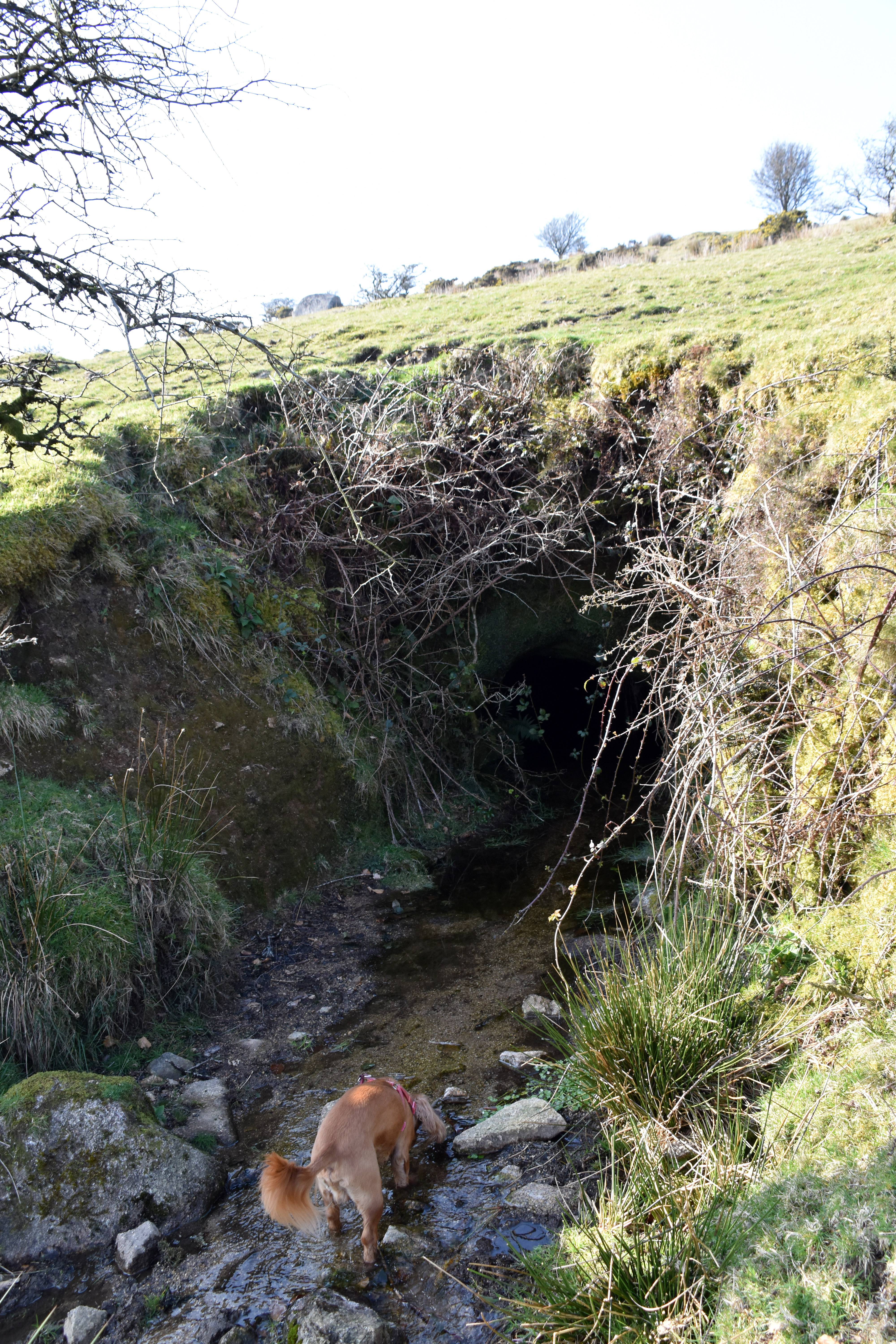
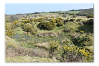
As we headed towards Cannaframe Junction we spotted water down below which confirmed that we were headed in the right direction. As we descended further we walked over some Medieval boundary walls and indeed there is a lot of medieval tin prospecting evidence on this side of the hill. Most intriguingly of all we were to discover that the Lynher source as described on the Environmental Agency map and the Ordnance Survey map was actually extended further up the valley by Medieval tin mining workings. This was an old fashioned strip-mining method. Basically the tin miners would dam a stream to build up a reservoir of water and then deliberately burst the dam to allow the rush of water to remove the soil from the sides of the river banks hoping to expose the tin. They let nature do the heavy lifting. As we have had a very wet winter these old tin strip-mining remains had filled with water and were leading to the supposedly marked source of the Lynher. Actually we found a tributary stream leading into these Medieval tin stream works. This emerged from a surprisingly substantial hole in the side of the hill. I half wondered if this was an old mine shaft or mine workings of some kind, but it could have just been natural groundwater from below the Beacon creating its own underground route to the surface. Either way, Rupert and I declared this as our official Source of the River Lynher! The Lynher watershed surrounded us on three sides, the Lynher could only escape to the East towards the River Tamar and ultimately to Plymouth Sound and the English Channel. There is something special about finding the source of a river, how something so small and insignificant builds to become something so powerful and so mighty.
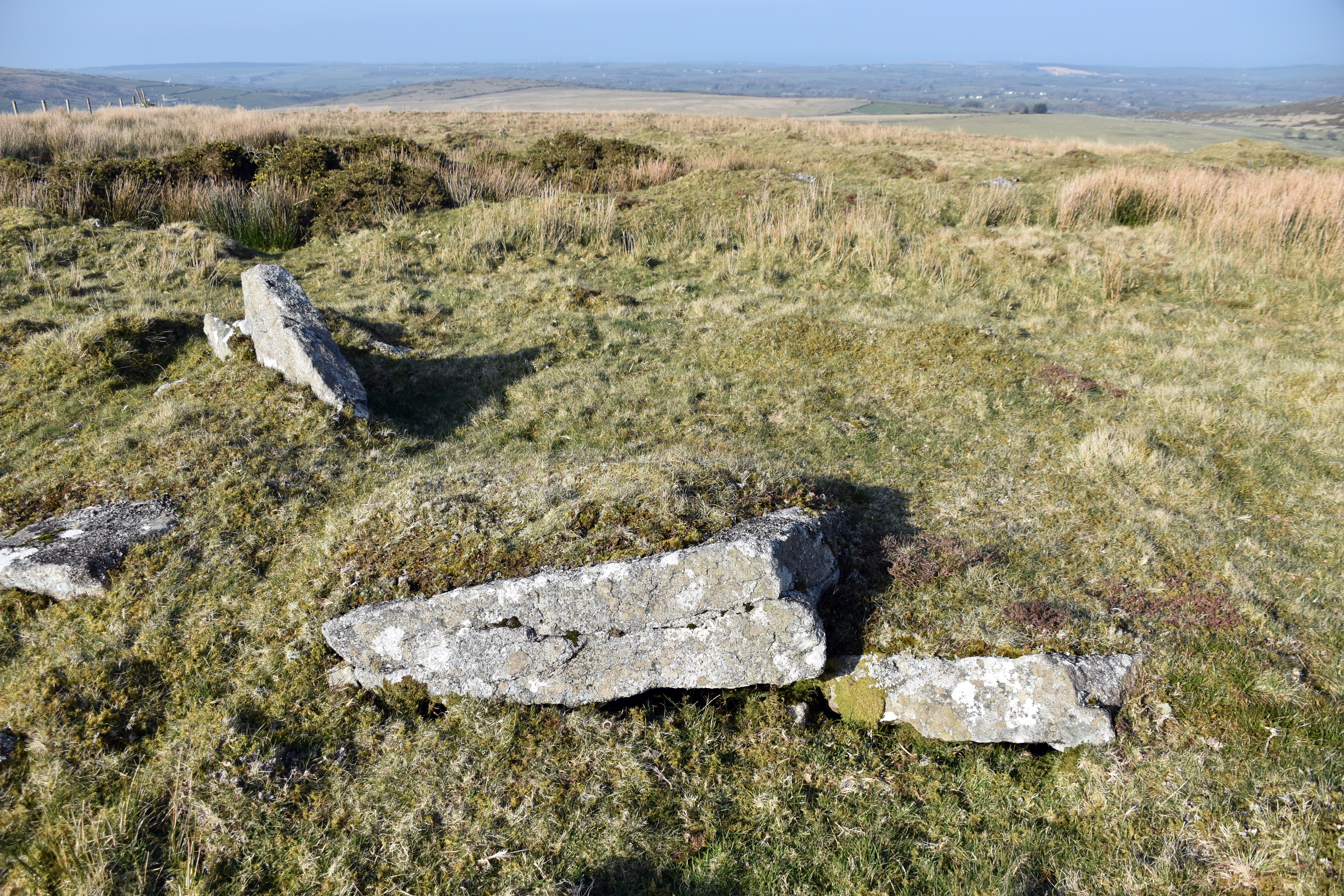
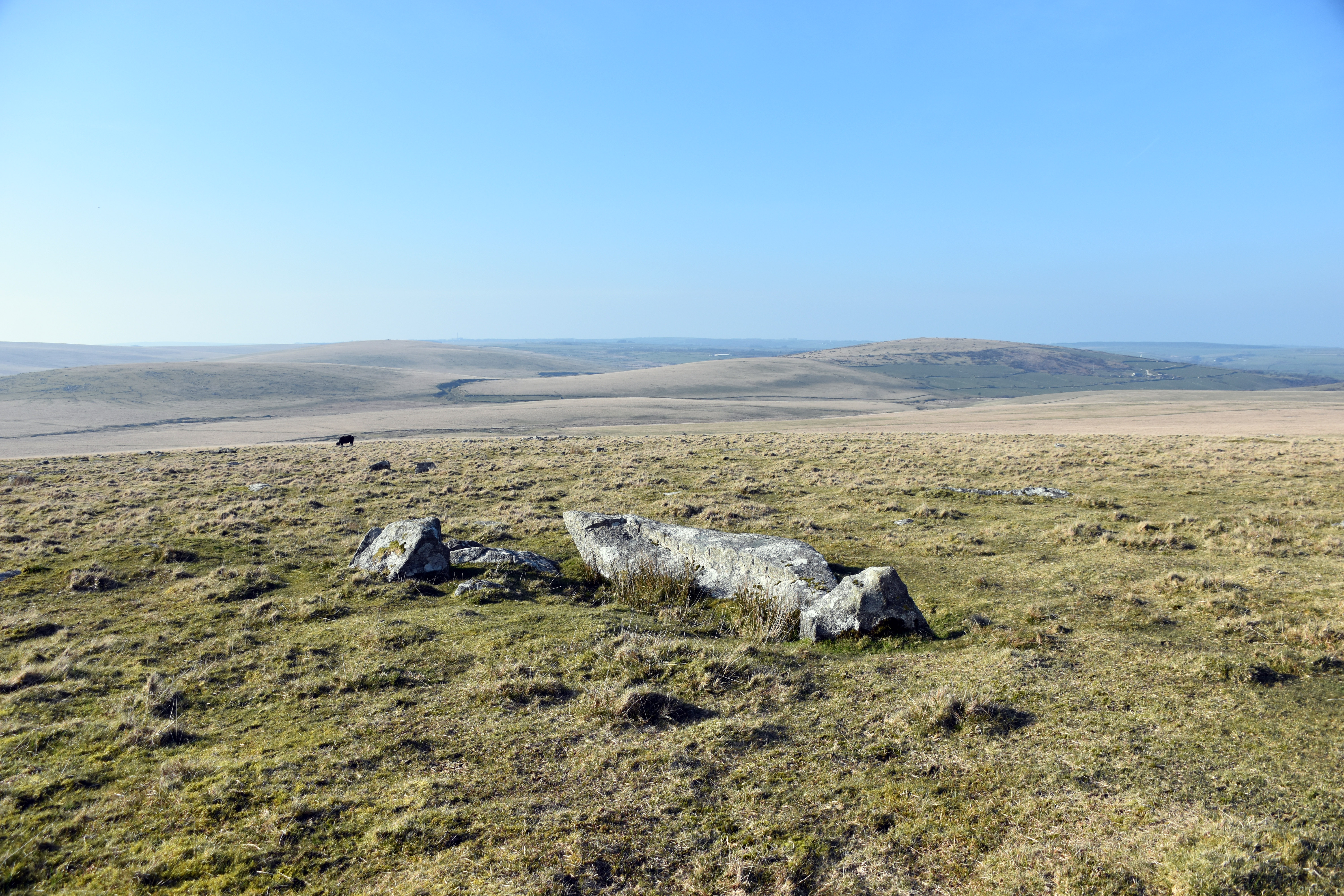
Rather than head straight back we decided to look for what was almost certainly the earliest settlement this far up the Lynher Valley. It is marked on the map as ‘hut circles and field system’ and is certainly pre-Roman but whether it is Iron Age or Bronze Age is almost impossible to tell. The most visible one we found has a hut circle lying within a small walled field. Thousands of years later you can still make out the entrances and the location of the structure. There are at least two other hut circles nearby and another demarcated field. To us this area looks like abandoned moorland but these hut circles show that this valley has sustained life for thousands of years. The stone base would have supported a thatched roof with a hole in the top to allow for smoke to disperse. It would have been visible from miles around suggesting little concern for security.
We might assume that they were farmers of some kind however there are at least two other possibilities both related to what we have already witnessed today. It is certainly not inconceivable that they were involved in extracting tin via that stream-working system. We know that Cornish tin was world renowned before the Romans arrived but the extent of its prehistoric extraction is difficult to pinpoint. We do know that in the Middle Ages they certainly did do stream working of tin in this area but that practice may have been built on far older roots. The other possibility is that they lived here to access the granite and stone and use it for building walls, the huts or for trade. It lies close to the main communications artery in and out of Cornwall which again dates back to before the Romans arrived. What is also interesting is that there is aerial photography which has picked out a distinct medieval field system superimposed on top of these far older prehistoric fields. Just a couple hundred yards down the hill we have a modern field system again showing that agriculture has been continuously practiced on these upper stretches of the Lynher Valley for thousands of years! And you can understand why when you see the spectacular views down the Lynher Valley from here. You can imagine a Dumnonian Celt sat outside his hut with livestock wandering around his paddock appreciating the glorious views from the very edge of Bodmin Moor. You really can place yourself in the mind of prehistoric man in a location like this. Indeed one wonders if he is buried locally. As we climbed back up The Beacon there are two cairns on the summit although with no obvious cists within them. These cairns date anywhere from 2500 BC to 800 BC which puts them firmly in the Bronze Age. Might the inhabitants of that hut circle have been buried up here? Or perhaps their ancestors were? There is no way of knowing but I love the fact that there are so many layers of history on what can look like a wild and even at times a bleak landscape.
Taking in one last view from the Beacon with the light falling in a completely different direction from earlier, we clambered back over the wall and started our descent. We noted more evidence of medieval tin prospecting and another example of medieval stream working of tin just to the West of Black Rock. As we walked down towards Westmoorgate we were serenaded by skylark after skylark. They have obviously been busy making their ground nests and were advertising their virility and house-building skills for all the lady skylarks out there. They were singing their hearts out. We also caught a bird of prey swooping down on some poor unsuspecting animal off in the distance. It was truly awe inspiring to see it go from hover to swoop with such speed and agility. Sadly the manoeuvre was far too rapid for my camera to be of any use, but it feels a real privilege to see it unfold in front of you.Later we disturbed a buzzard as we returned to the road and its impressive wing span whistled by yards from our heads. Spring is definitely here.
We returned to Trewint having found the source of the Lynher. That tiny stream emerging from under Hendra Down will flow to become the mighty River Lynher. And in Trewint we are reminded of how a small gesture by a good Cornish Christian couple to build a Prophet’s Chamber for the earnest Methodist preachers in need of shelter helped unleash the flow of Methodism throughout Cornwall and contributed to yet one more layer to the distinctiveness of Cornish culture. A Cornish culture that we could see with our own eyes today stretches back not just for centuries but for millennia.
|