

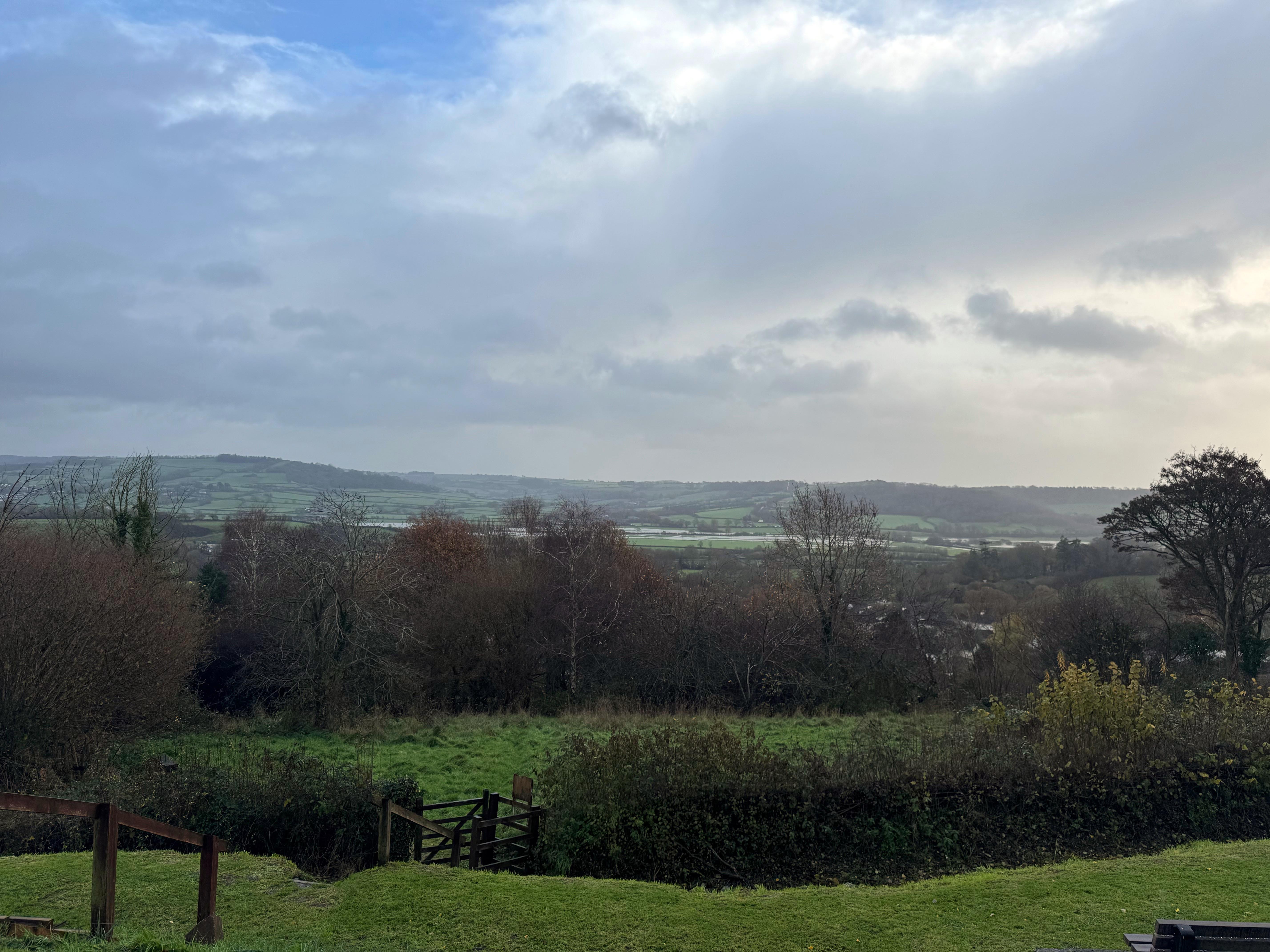
Where the River Coly meets the River Axe, near Colyford, lies a confluence that once symbolised the vitality of East Devon’s economy. Today it is a tranquil landscape of saltmarsh and reed beds, but in earlier centuries the Axe Valley was a corridor of movement and exchange. Its estuary at Seaton was a significant haven in Roman times, when the mouth of the Axe was nearly half a mile wide and the tidal reach extended far inland. This openness made the valley a natural route for shipping, and archaeological evidence suggests that goods and ideas travelled along its waters long before formal ports existed.
By the early medieval period, the Axe Estuary remained a strategic asset. Between 850 and 950 AD, during the era of Danish incursions, large vessels could still navigate upriver to Stedcombe, north of Axmouth, and even beyond. Place-names such as “Merchants Roads” near Seaton recall this mercantile past, when the high ground served as a landing dock for trade. The estuary’s accessibility allowed timber, salt, and agricultural produce to move efficiently, linking inland communities to coastal and continental markets.
Seaton retained its status as a port into the fourteenth century, but nature began to impose limits. From about 1350, longshore drift pushed shingle eastward, gradually choking the river mouth. By 1450, the River Otter was reported “clean barred,” and similar silting afflicted the Axe. Repeated attempts to keep the channel open—harbour works, dredging, and even a new pier—proved costly and temporary. The estuary’s tidal power diminished, salt marshes spread, and the once-broad haven narrowed to a trickle beneath the shingle bank. These changes marked the slow decline of the Axe as a shipping artery.
Despite these challenges, the valley adapted. In the seventeenth century, salt-making revived on the reclaimed marshes, and by the early nineteenth century, local entrepreneurs invested in harbour improvements. Stedcombe House, built by the Hallet family, presided over efforts to restore maritime trade, and for a time ships of up to 100 tons could load and unload at Axmouth. A weekly passenger boat to London operated, underscoring the estuary’s lingering importance. Yet the opening of the railway in 1868 sealed its fate: when a storm destroyed the pier in 1869, rebuilding was deemed uneconomic. The Axe had ceased to be a viable commercial waterway.
By the late nineteenth century, the estuary’s role was largely pastoral and ecological. Drainage schemes transformed marshland into grazing, and the tidal influence retreated further inland. Today, the confluence of the Coly and Axe is part of a protected landscape, valued for its biodiversity rather than its shipping lanes. The designation of the Axe Valley as a Site of Special Scientific Interest reflects this shift from commerce to conservation. Yet the historical imprint remains: the valley’s farms, lanes, and settlements owe their pattern to centuries when water was wealth, and the meeting of two modest rivers was a gateway to the wider world.
This navigability has even shaped local architectural theories. St. Andrew’s Church at Colyton, with its distinctive lantern tower, has sometimes been interpreted as a beacon for river traffic—a guiding light for vessels navigating the Axe estuary. While this idea is appealing, the more likely explanation lies in cultural aspiration: the tower may have been built to echo the famous lantern tower of Bruges, reflecting Colyton’s historic trade links with the Low Countries and its desire to emulate continental styles.
The story of the Axe and Coly confluence is a reminder of how landscapes change with time. What was once a busy waterway for trade and travel is now a quiet haven for wildlife. But the traces of its past are still there—in the old harbour walls, in the names of fields and roads, and in the shape of the valley itself. It is a place where history and nature meet, and where the memory of a working river still lingers in the calm of the present.

