 |
|
 |
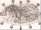
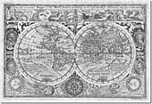
| World Map, 1482 |
|
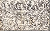
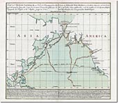
World Map, 1548 |
|
 |
|
|
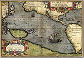
Ortelius' Map of Pacific, 1589 |
|
 |
|
 |
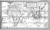
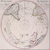
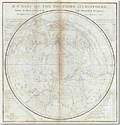
| Terra Australis, 1607 |
|
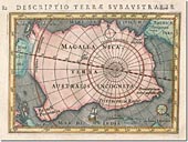
Terra Australis, 1616 |
|
 |
|
|
Pacific Voyages of Schouten, 1619 |
|
 |
|
 |
| World Map, 1628 |
|
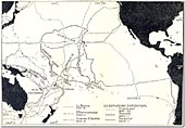
Tasman's Exploration of Australia |
|
 |
|
|
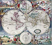
World Map, 1680 |
|
 |
|
 |
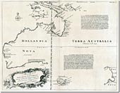
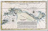
| Dampier's Discoveries |
|
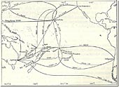
Dampier's Voyages, 1699 |
|
 |
|
|
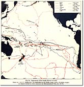
Exploration of the Pacific Map, 1520 - 1722 |
|
 |
|
 |
| World Map, 1714 |
|
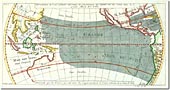
Pacific Winds Map, 1753 |
|
 |
|
|
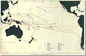
Exploration of the Pacific Map, 1765 - 1779 |
|
 |
|
 |
| Captain Cook's First Voyage |
|
Captain Cook's Second Voyage |
|
 |
|
|
Captain Cook's Third Voyage |
|
 |
|
 |
| Exploration of the Pacific Map, 1780 - 1850 |
|
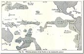
Prevailing Winds Map |
|
 |
|
|
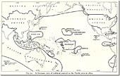
German View of Pacific Map |
|
 |
|
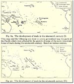 |
| Pacific Whaling Map |
|
Pacific Trade and Products Map |
|
 |
|
|
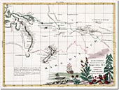
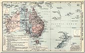
Australia and New Zealand Map, 1911 |
|
 |
|
 |
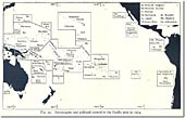
| Political Control in the Pacific Map, 1914 |
|
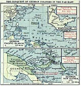
German Colonies during World War One Map |
|
 |
|
|
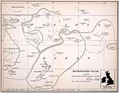
Redrawing Spheres of Influence, 1922 |
|
 |
|
 |
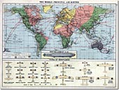
| World Air Routes Map in the Interwar Years |
|
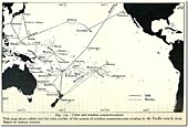
Pacific Cable and Wireless Communications Map |
|
 |
|
|
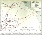
Eastern Pacific Shipping Routes, 1936 |
|
 |
|
 |
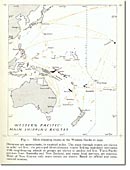
| Western Pacific Shipping Routes |
|
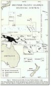
Western Pacific Political Map, 1939 |
|
 |
|
|
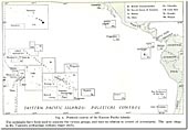
Eastern Pacific Political Map, 1939 |
|